Village · Teruel
Guadalaviar
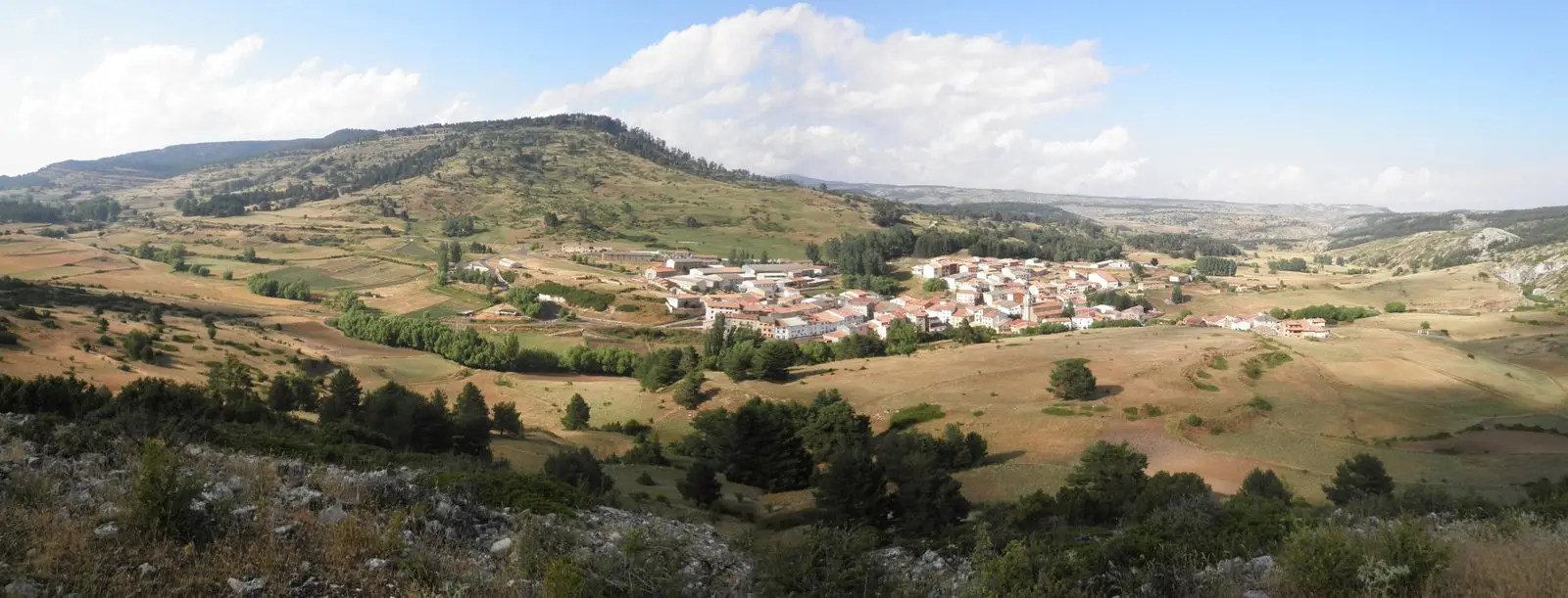
Guadalaviar provides an entry into the transhumance heritage of Albarracín. Its surroundings reach the upper Tagus valley, while the river bearing its name belongs to the Turia basin.
Rivers and basins
The thread of water from Guadalaviar
Follow these watercourses towards their confluences, villages, and basin history.
Memory traveling with livestock
The Museum of Transhumance situates in Guadalaviar a history of shepherds, seasonal journeys, and the wool trade. It offers a local gateway to pastoral memory linking these mountains with distant lands.
Two destinations for water
The district description includes the upper Tagus valley in the southwestern sector of the municipality. The Guadalaviar river, by contrast, flows towards the Turia. The village allows an exploration of the surroundings of the headwaters of the Tagus with attention to the divide between drainage basins.
Soil and pastures
The broad depressions around Guadalaviar, Villar del Cobo, and Frías de Albarracín illustrate water absorption in limestone and the scale of these pastoral landscapes. The terrain connects the observation of water with the historical uses of the mountain range.