Alto Tajo · memory and territory
A river that remembers everything.
Border between kingdoms, timber highway, land of mountain villages and historic trades. The rocks, names and lives of the Alto Tajo converge here: an atlas to read what remains and what has changed.
Layers of time
All memory →450 million years ago – present
Before us
Before people, the Alto Tajo was a cold sea near the south pole, a forest buried by ash, a plain of red rivers, salt lagoons, and a tropical ocean; later the earth buckled and the Tagus carved through it. Each era left a rock that can still be seen today.
Upper Palaeolithic – Bronze Age
First traces
Before villages there were rock shelters. In the Cueva de los Casares, Upper Palaeolithic hunters engraved horses, stags, and human figures on the cave walls; at the Gallo shelters and Peña Escrita, later peoples left schematic painted signs on the stone.
7th – 1st centuries BC
Celtiberian hillforts
Settlements perched on spurs with defensive ditches, dry-stone ramparts, and fields of chevaux-de-frise stones. El Ceremeño, Peña Moñuz, and Castil de Griegos tell how people lived, defended themselves, and worked iron in Celtiberia before Rome.
1st – 4th centuries AD
Rome in the canyon
A double-tiered aqueduct in Zaorejas, perhaps linked to a mansio on the road between Laminium and Caesaraugusta, and the iron mining galleries of Cueva del Hierro: Rome arrived in the Alto Tajo in search of water, transport routes, and metal.
1129 – 15th century
The frontier and the Señorío
Borderland between Castile and Aragon, the Señorío de Molina was almost an independent kingdom: castles, watchtowers, a Cistercian monastery, and the salt pans of Armallá already recorded in the 12th-century charter of Manrique de Lara.
16th – 19th centuries
Salt, iron and timber
The Crown took control of the salt pans, ironworks drove tilt hammers with river water, and every winter thousands of logs floated down the Tagus toward Aranjuez guided by timbermen.
1860 – 1960
Resin, hooks and pastoral shelters
The century when the mountains sustained everyday life: resin tappers scoring pine trunks, shepherds sheltering under juniper-thatched chozones, lime kilns smoking beside villages. A world that faded within a single generation.
1936 – 1939
The frontline on the river
The canyon formed part of the Civil War frontline: positions atop the cliffs, guarded river crossings, and bunkers. The memory of the war also encompasses the Molina guerrillas, forestry labor, and local families. The Upper Tajuña valley traces this history on the western flank.
1950 – present
Villages that emptied
Reservoirs severed the river to floating timber, motor trucks retired the muleteers, and villagers migrated to Madrid, Valencia, or Barcelona. Some hamlets were abandoned completely; others endure with a handful of year-round residents.
272 places · 44 routes · 115 villages connected with their memory.
Six stories to start with
All stories (32) →- 450 million years ago – todayBefore us: the long time of stones
Frozen seas, volcanoes, red rivers and a tropical ocean: 450 million years before us.
- 1138 – 1813A state between two kingdoms: the Lordship of Molina
Charters, sexmas and communal forests: the borderland that was almost a kingdom.
- 16th century – 1950sGancheros: shepherds of the floating forest
A hundred thousand logs downriver and the men who steered them with hooks to Aranjuez.
- 1936 – 1939 and the postwar yearsThe river front: the Civil War in Alto Tajo
Nearly three years of frontline on the canyon ridges, and the Forgotten Battle of 1938.
- 18th century – 1970sWhen the village could be heard
Funeral tolls, alarm bells and fog signals: church bells as the village voice.
- 16th – 19th centuriesThe village that made glass
The glass kilns of El Recuenco, supplying alembics to El Escorial and glassware to Court.
Lands joined by the river
Lands and landscapes →Molina and its sexmas, the villages that looked toward Cuenca and the Land of Medinaceli. Trace their ties, labors and memories.
Historic lands of Cuenca
El Recuenco and Villanueva de Alcorón belonged to Cuenca until the 19th century: pine forests, glassworks and a border drawn by the Tagus.
Follow its memory →Historical landLand and Ducado of Medinaceli
Ciruelos, Anguita, Riba de Saelices, Maranchón and Ablanque: salt works, pine woods, and trading trails of the Tierra de Medinaceli.
Follow its memory →Historical landMolina and its sexmas
Campo, Pedregal, Sabinar, and Sierra: the land of Molina, endowed with its charter in 1154, was governed as four sexmas until 1813 and still manages communal forestry assets.
Follow its memory →You can also begin through the landscape: highlands · canyon · juniper forest · parameras.
Water joins the lands
Follow a river, find a memory
From the Tremedal and Montes Universales to Molina, the salt pans and the canyon. Each river leads to its villages, feeding streams, and the stories of those who lived alongside the water.
Traces in the landscape
All the atlas →A single place can begin a journey: the waters that powered an industry, the stones that guarded a mountain pass, or the forest that sustained local life.
Cueva de los Casares: Paleolithic art, Neanderthals, and Islamic tower
Riba de Saelices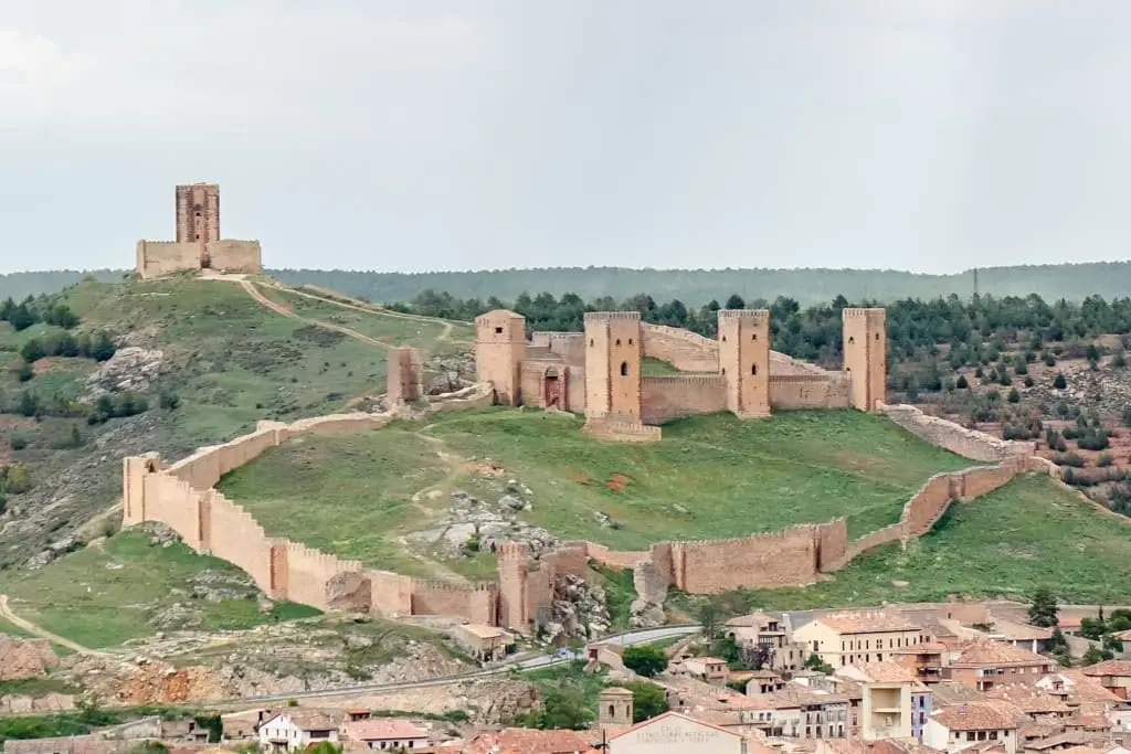
Castle of Molina de Aragón: 12th-century fortress and Torre de Aragón
Molina de Aragón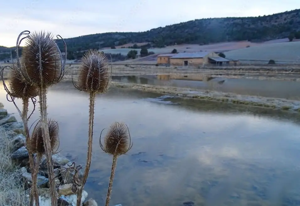
Armallá Salt Pans (Tierzo): Salt of the Señorío Since Roman Times
Tierzo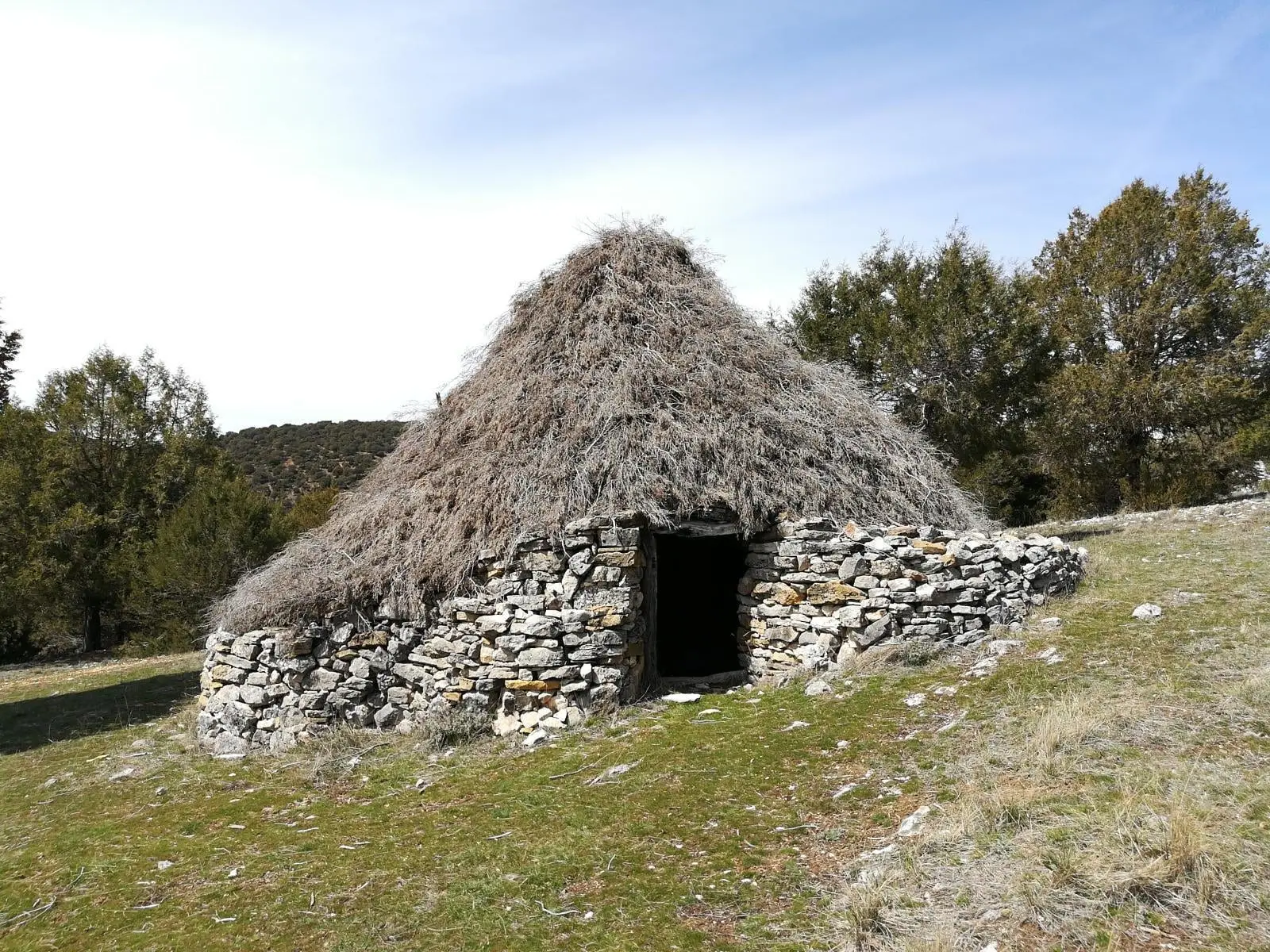
Juniper chozones of Ablanque: evolution of pastoral architecture
Ablanque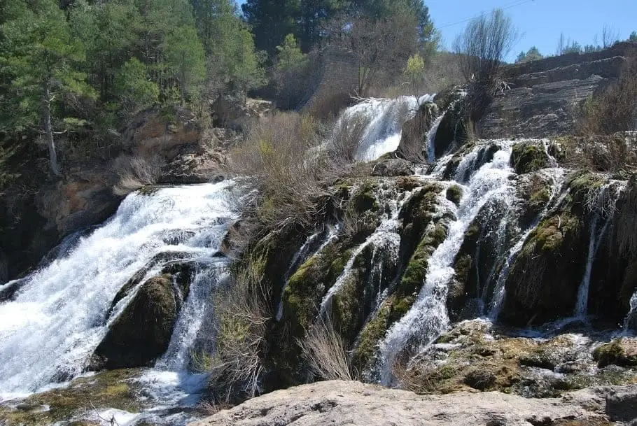
Salto de Poveda: The Largest Waterfall in Alto Tajo
Poveda de la Sierra, Taravilla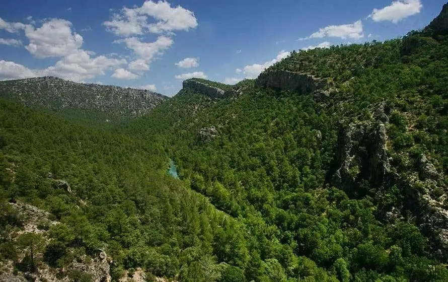
Hundido de Armallones: the rock collapse that dammed the Tagus
Armallones, OcentejoBy themes: geology (41) · archaeological sites and rock art (27) · castles (19) · hermitages, bridges and salt pans (67) · chozones, mills and trades (21) · forests and trees (9) · all themes →
One territory, one map
The river unites lands with distinct histories. Each point opens a guide; each village leads to its places and memories. On the interactive map you can compare today's territory with the 1956 aerial flight and historical cartography.
Read with your feet as well
The 44 routes →These short trails allow you to discover some of the territory's living traces. Each guide details the route and conditions for your visit.
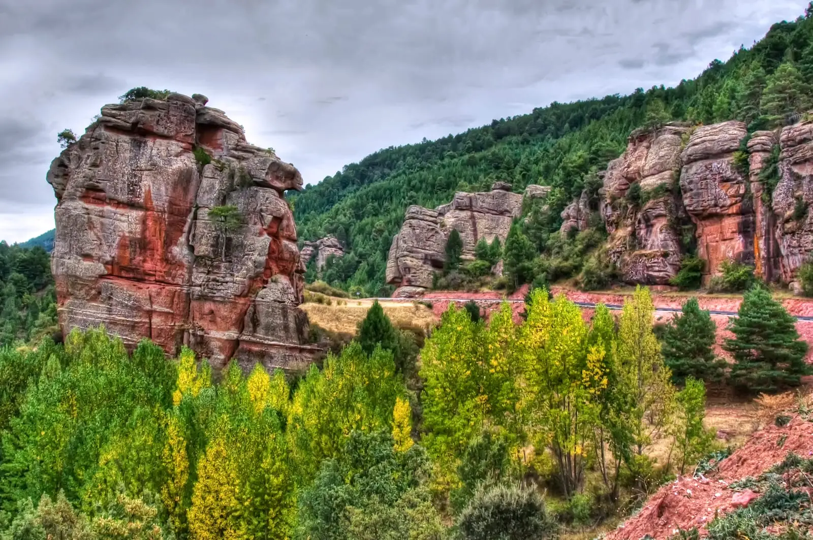
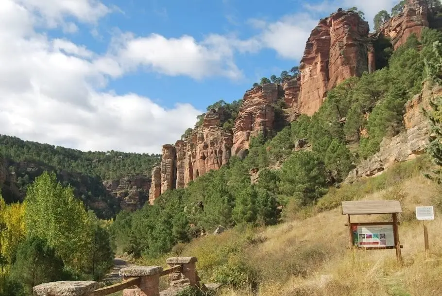
Trail 15 (SL-GU 01): the Red Rocks of Chequilla
2.8 km · 1 h · CircularTrail 19: Collado del Aire via La Campana (Checa)
3.1 km · 1 h · Linear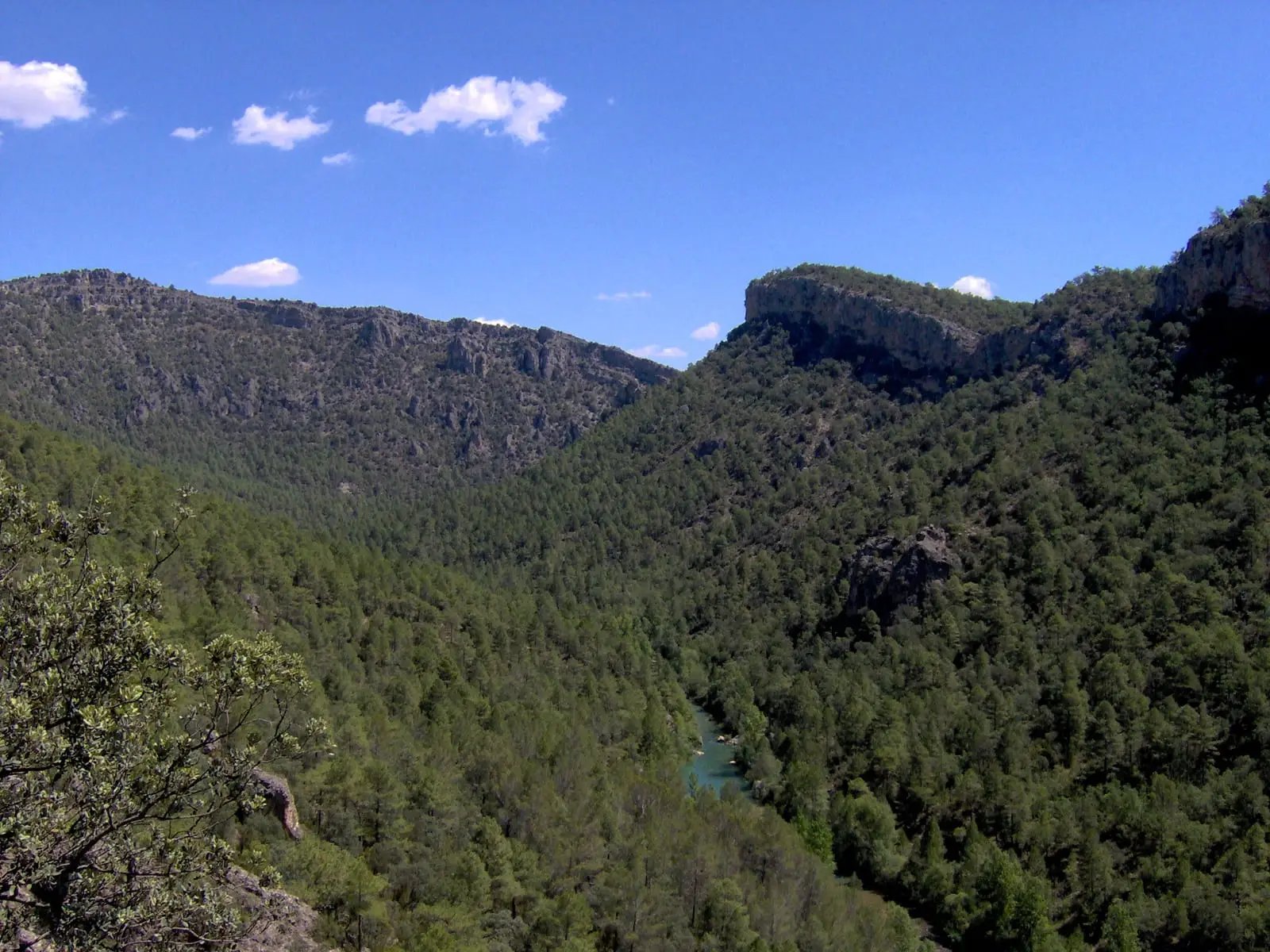
Trail 1 · Geotrail 1: from Ocentejo to Hundido de Armallones
3 km · 1.5 h · Linear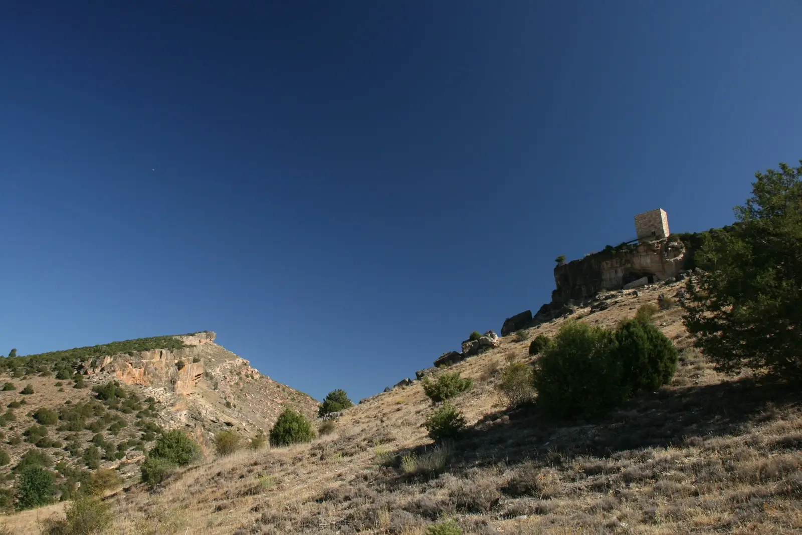
Trail 4: Valle de los Milagros (Riba de Saelices)
3 km · 1.5 h · LinearWhen to go: the year in the Alto Tajo
The Alto Tajo month by monthThe Alto Tajo in four questions
What is the Alto Tajo?
The Alto Tajo is the upper basin of the Tagus River and the surrounding territory between Guadalajara and Cuenca. A large part is protected as the Alto Tajo Natural Park, declared in 2000, and forms part of the Molina-Alto Tajo UNESCO Global Geopark.
What is there to see in the Alto Tajo?
Canyons and gorges such as the Barranco de la Hoz, waterfalls like the Salto de Poveda, mountain lakes like Taravilla, viewpoints above the Tagus canyon, castles such as Molina de Aragón, and historic mountain villages. This atlas brings together more than 270 mapped places and routes.
When is the best time to visit the Alto Tajo?
Spring (March to June) to see rivers and waterfalls in full flow and wildflower blooms; autumn (September to November) for the deer rut, wild mushrooms, and autumn foliage. Summers are cool compared with surrounding plains, and winter offers quiet solitude and dark skies. See the Alto Tajo month by month.
Where is the Alto Tajo and how do you get there?
It lies in the Iberian Mountain Range, in eastern Guadalajara and northern Cuenca provinces. Travel times vary by entry point: calculate routes directly to your target village or trailhead. Molina de Aragón serves as the primary regional hub.