Alto Tajo and headwaters · memory of the water
Tagus: from Fuente García to the canyon
Rising at over 1,800 metres in the Montes Universales, still known as the Tajillo at Las Juntas, carving down through the timbermen's canyon as far as Valtablado.
- Headwaters
- Fuente García, within the municipality of Frías de Albarracín, Sierra de Albarracín.
- downstream
- Continues toward Entrepeñas; this atlas follows its headwaters and associated lands.
The Tagus rises in the Montes Universales, in a mountain range exceeding 1,800 metres. A trickle of water springs from Fuente García, within the territory of Frías de Albarracín, gathering other mountain springs to reach the Monument to the Source, sculpted by José Gonzalvo Vives in 1974, which pays tribute to Teruel, Cuenca, and Guadalajara. It lies outside the Natural Park, in Teruel province.
Its first bridge inside the Park is the Puente de las Tres Provincias, or Valdeminguete bridge, precisely on the border between Guadalajara, Cuenca, and Teruel. Upstream, surface flow can dry up in summer; from this point onward water runs year-round. It remains a modest mountain stream, locally called the Tajillo, until joined at Las Juntas by the Hoz Seca. A local saying runs: «The Tagus bears the fame, while the Hoz Seca bears the water».
Downstream, the river carves deep canyons. At Peralejos de las Truchas, the Puente del Martinete is the first substantial stone bridge across an already voluminous Tagus. Further down it cascades over the Salto de Poveda waterfall and, beside the Puente de San Pedro, receives the Gallo: after heavy rain, the Gallo runs reddish with eroded Triassic clay while the Tagus runs milky with kaolin silt, the river flowing with two distinct colours for several hundred metres.
Between Armallones and Ocentejo, at El Hundido, a massive 16th-century rockfall dammed the river: in 1578 Ocentejo residents petitioned King Philip II for disaster relief. At Valtablado del Río, at about 840 metres altitude, the Tagus is wide and deep, flowing with stronger current than it appears, passing under the GU-929 road bridge by a poplar grove. The atlas follows the river to this point; the Tagus continues onward toward Entrepeñas reservoir.
Memory we can follow
16th century – 1950s
A river of timber
Down the Tagus, the Cabrillas, the Gallo, and the Ablanquejo floated logs felled in the highland forests of Montes Universales, Serranía de Cuenca, and Sierra de Molina. Timber drivers (gancheros) steered them with hazel poles to Aranjuez in log drives that reached up to 100,000 pine trunks.
Read the story →Middle Ages – 1960s
Water that powered industry
Water from the Tagus and its tributaries turned the wheels of flour mills, fulling mills, and forge tilt hammers. In Peralejos, beside the Hoz Seca, stand the ruins of the Morencos ironworks, an 18th-century complex, near the Martinete bridge.
Read the story →1900 – today
The river of two colours
Between Poveda and Peñalén, open-cast kaolin mining has operated since 1965 in the catchments of the Tajuelo and Merdero streams. These quarries accounted for some 60% of Spain's kaolin and washed pale sediment into the river. Today the area serves as an ecological terrain restoration lab.
Read the story →1936 – 1939 and the postwar years
A waterline frontline
From 1936 to 1939 the gorge formed a military front. Above the San Pedro bridge, the Alpetea position guarded the crossing, and Zaorejas hosted a Republican airfield with an underground air-raid shelter.
Read the story →Villages to read this basin from
These are gateways to its headwaters, valleys, and memory. The selection gathers regional villages; it does not imply the entire municipality drains into this river.
Traces of the river and its basin
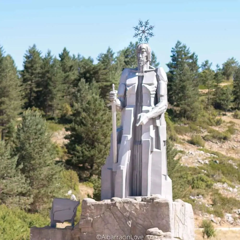
Source of the Tagus River and its monument (Montes Universales)
Frías de Albarracín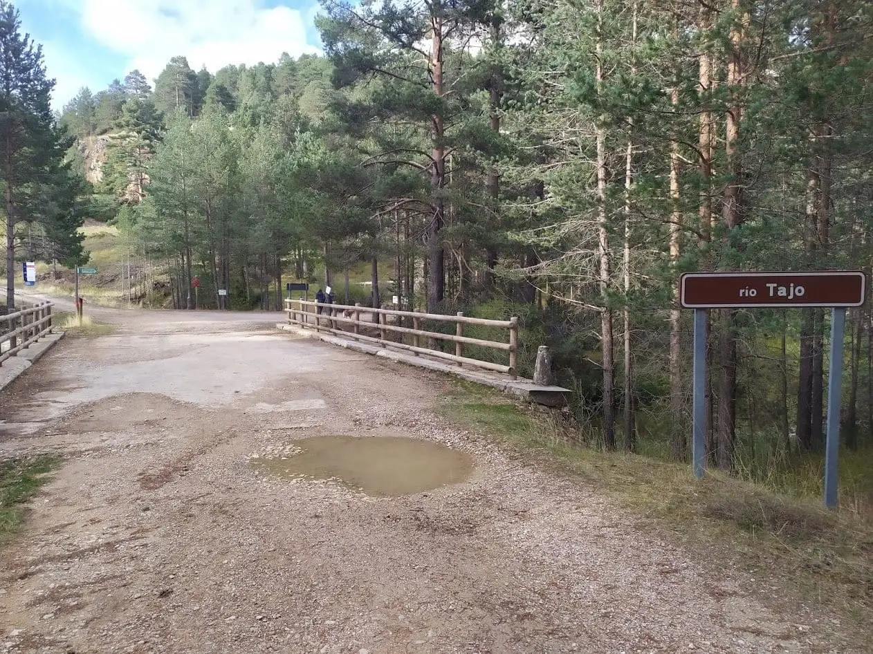
Puente de las Tres Provincias (Valdeminguete): where the Alto Tajo begins
Checa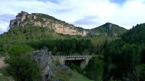
Puente del Martinete: the first major bridge over the Tagus
Peralejos de las Truchas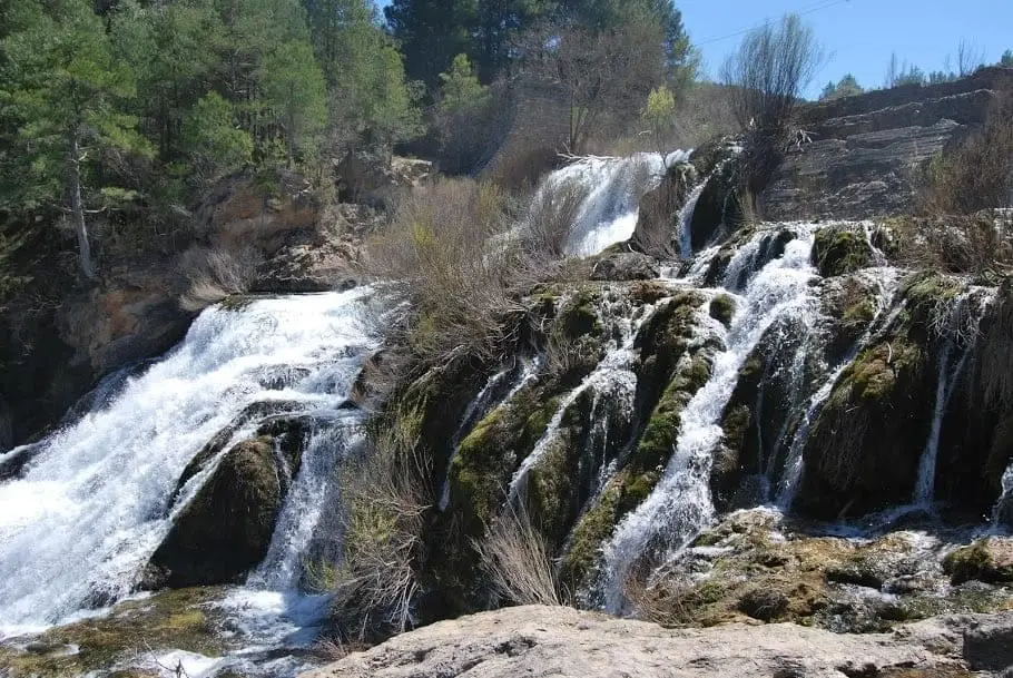
Salto de Poveda: The Largest Waterfall in Alto Tajo
Poveda de la Sierra, Taravilla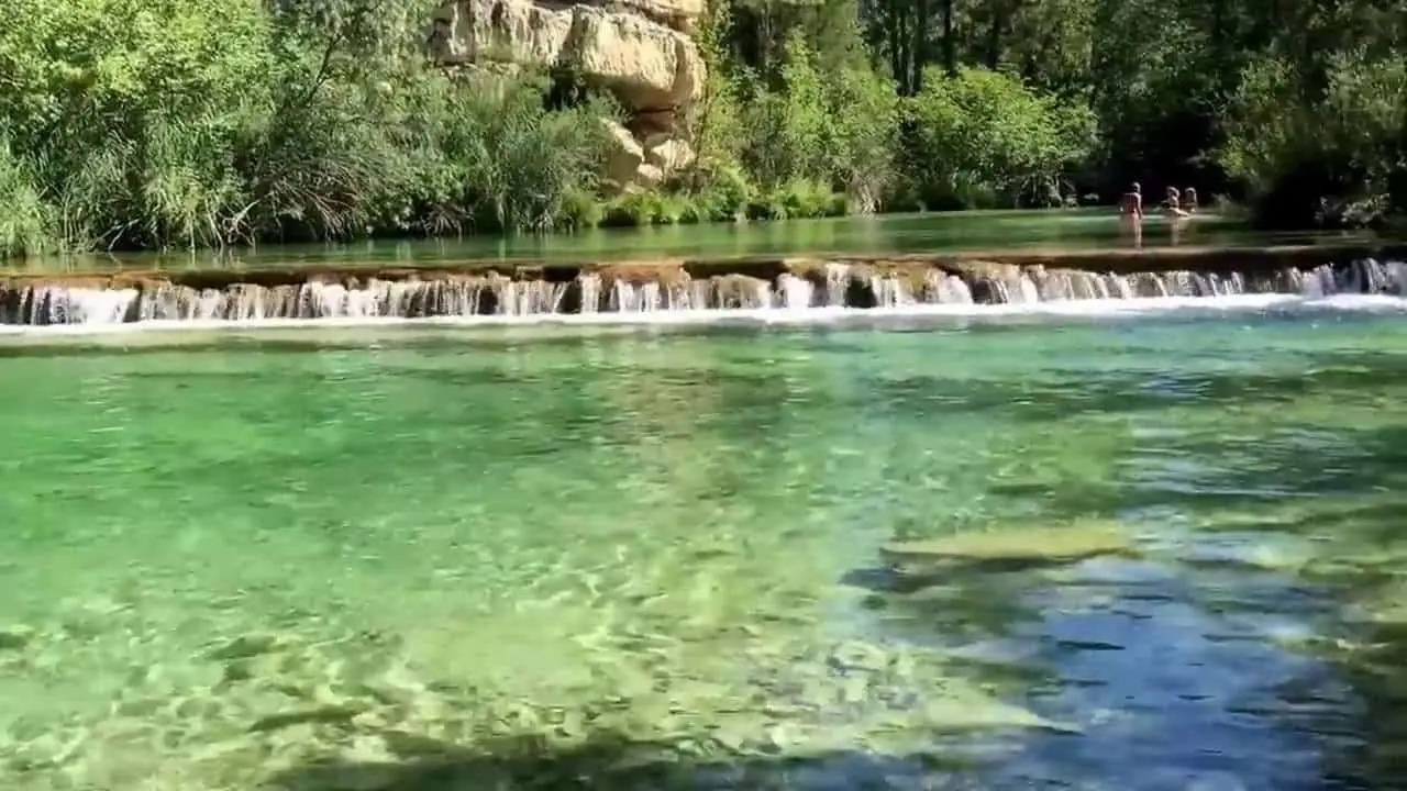
Puente de San Pedro: where the Tagus and Gallo meet
Zaorejas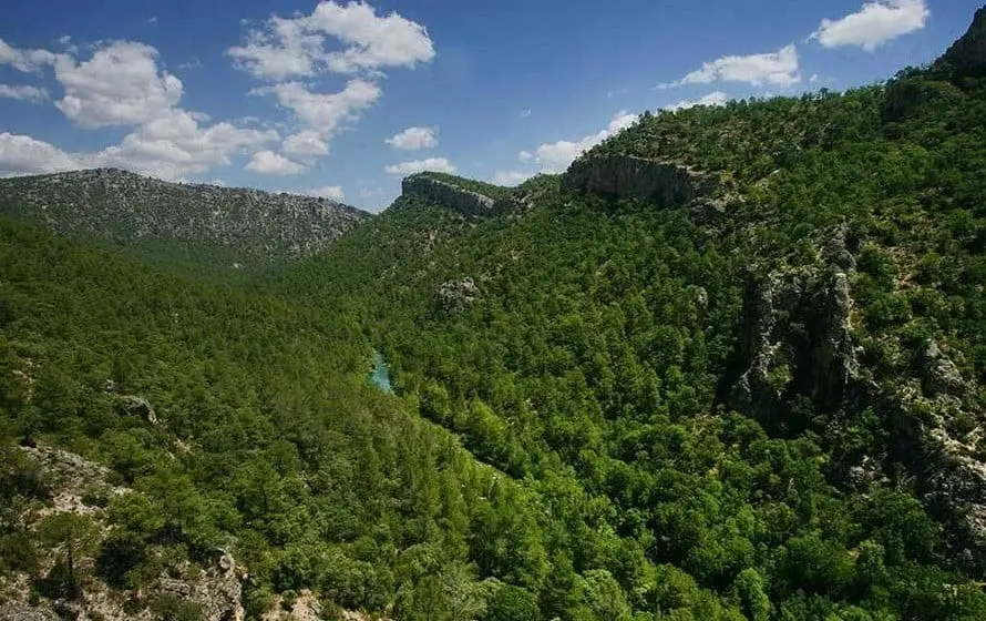
Hundido de Armallones: the rock collapse that dammed the Tagus
Armallones, Ocentejo
Valtablado Bridge: a Tagus ford with a poplar grove
Valtablado del RíoLands united by water
Sources of this reading
- MITECO: Cuadernos de la trashumancia, Albarracín–Cuenca–Molina
- JCCM: Parque Natural del Alto Tajo
- MITECO: Reserva Natural Fluvial
Linked memory stories include their own cited sources. Fluvial connections refer to this specific stream; names like Salado and Tajuelo also recur in other basins.