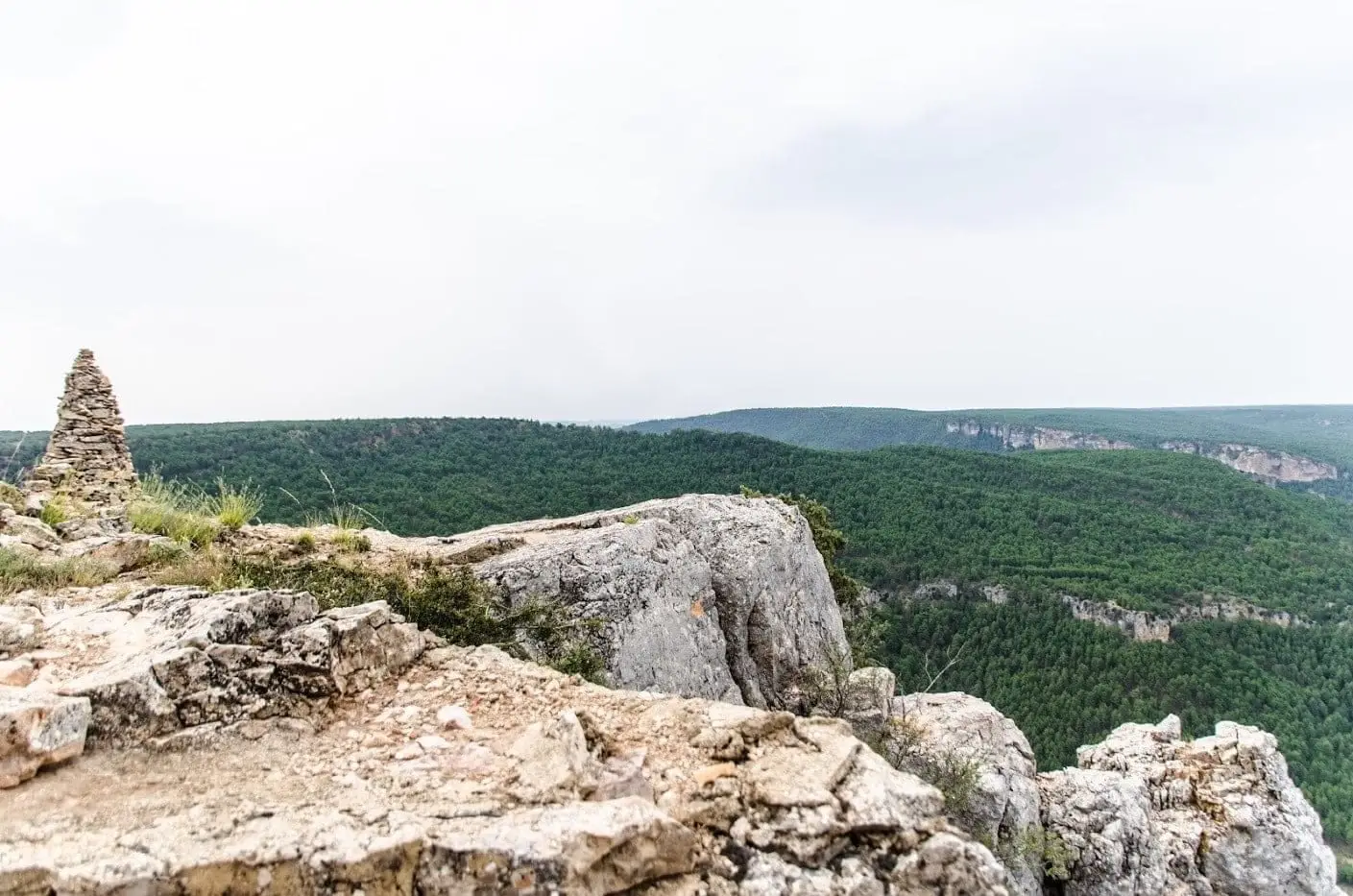
Memory · living heritage
Here the river was a border, a timber highway, and a frontline.
The Alto Tajo is not just a landscape: it is an archive. Every cliff, bridge, and pine forest holds the labor, fear, and ingenuity of those who lived here. Read it in layers.
A memory to recover
The Civil War in the territory
The river frontline, the Molina guerrillas, and lives caught in the conflict. A bridge beneath trenches, an underground bunker, pine woods and fields awaiting a return to labor. Another history of the Alto Tajo endures in these places.
Layers of time
9 eras · tap to filter the map450 million years ago – present
Before us
Before people, the Alto Tajo was a cold sea near the south pole, a forest buried by ash, a plain of red rivers, salt lagoons, and a tropical ocean; later the earth buckled and the Tagus carved through it. Each era left a rock that can still be seen today.
Upper Palaeolithic – Bronze Age
First traces
Before villages there were rock shelters. In the Cueva de los Casares, Upper Palaeolithic hunters engraved horses, stags, and human figures on the cave walls; at the Gallo shelters and Peña Escrita, later peoples left schematic painted signs on the stone.
7th – 1st centuries BC
Celtiberian hillforts
Settlements perched on spurs with defensive ditches, dry-stone ramparts, and fields of chevaux-de-frise stones. El Ceremeño, Peña Moñuz, and Castil de Griegos tell how people lived, defended themselves, and worked iron in Celtiberia before Rome.
1st – 4th centuries AD
Rome in the canyon
A double-tiered aqueduct in Zaorejas, perhaps linked to a mansio on the road between Laminium and Caesaraugusta, and the iron mining galleries of Cueva del Hierro: Rome arrived in the Alto Tajo in search of water, transport routes, and metal.
1129 – 15th century
The frontier and the Señorío
Borderland between Castile and Aragon, the Señorío de Molina was almost an independent kingdom: castles, watchtowers, a Cistercian monastery, and the salt pans of Armallá already recorded in the 12th-century charter of Manrique de Lara.
16th – 19th centuries
Salt, iron and timber
The Crown took control of the salt pans, ironworks drove tilt hammers with river water, and every winter thousands of logs floated down the Tagus toward Aranjuez guided by timbermen.
1860 – 1960
Resin, hooks and pastoral shelters
The century when the mountains sustained everyday life: resin tappers scoring pine trunks, shepherds sheltering under juniper-thatched chozones, lime kilns smoking beside villages. A world that faded within a single generation.
1936 – 1939
The frontline on the river
The canyon formed part of the Civil War frontline: positions atop the cliffs, guarded river crossings, and bunkers. The memory of the war also encompasses the Molina guerrillas, forestry labor, and local families. The Upper Tajuña valley traces this history on the western flank.
1950 – present
Villages that emptied
Reservoirs severed the river to floating timber, motor trucks retired the muleteers, and villagers migrated to Madrid, Valencia, or Barcelona. Some hamlets were abandoned completely; others endure with a handful of year-round residents.
The memory of the lands
Lands and landscapes →Shared mountain pastures, ancient jurisdictions, and roads help to understand how villages related to each other. These readings link territorial history with the lives recorded in the atlas.
Historic lands of Cuenca
El Recuenco and Villanueva de Alcorón belonged to Cuenca until the 19th century: pine forests, glassworks and a border drawn by the Tagus.
Follow its memory →Historical landLand and Ducado of Medinaceli
Ciruelos, Anguita, Riba de Saelices, Maranchón and Ablanque: salt works, pine woods, and trading trails of the Tierra de Medinaceli.
Follow its memory →Historical landMolina and its sexmas
Campo, Pedregal, Sabinar, and Sierra: the land of Molina, endowed with its charter in 1154, was governed as four sexmas until 1813 and still manages communal forestry assets.
Follow its memory →Water joins the lands
Follow a river, find a memory
From the Tremedal and Montes Universales to Molina, the salt pans and the canyon. Each river leads to its villages, feeding streams, and the stories of those who lived alongside the water.
You can also follow the thread through the highlands, the canyon, the juniper woods and the parameras.
Explore an era
Stories
Sources and bibliography →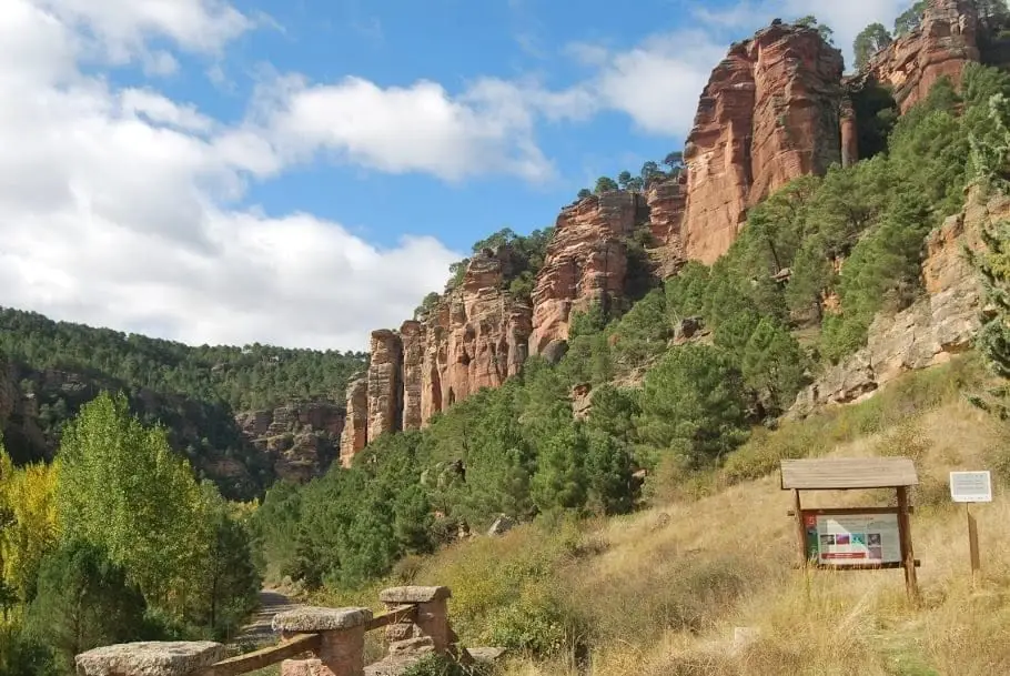
Before us: the long time of stones
Cold seas, stone forests, volcanoes, red rivers, a tropical sea and a river cutting the plateau: Alto Tajo’s history before people, in plain words.
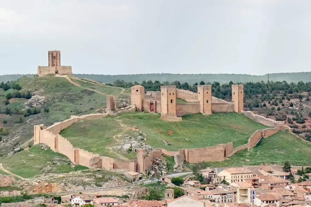
A state between two kingdoms: the Lordship of Molina
From Manrique de Lara to the council of 1813: charter, sexmas, doña Blanca, Torre de Aragón and noble houses. The history behind the region’s name.
The river front: the Civil War in Alto Tajo
Trenches, machine-gun posts and airfields: the Tagus canyon as a front in 1936–1939, the Forgotten Battle and the remains visible today.
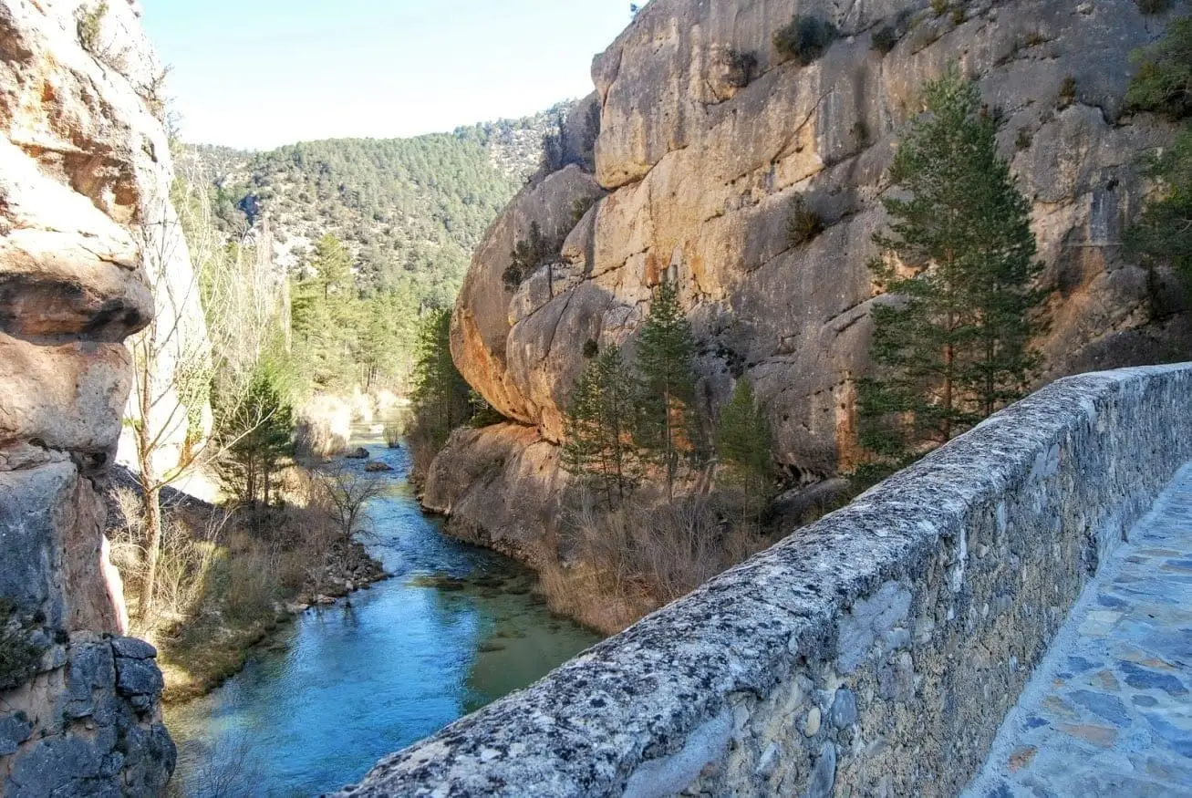
Gancheros: shepherds of the floating forest
How the gancheros of the Alto Tajo worked, how a timber drive was organized, why the trade disappeared, and where it is remembered today.
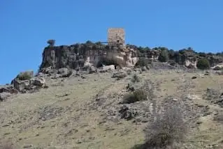
Before names, there were marks
Los Casares and La Hoz caves, over a thousand metres above sea level, and the rock shelters of Rillo de Gallo: rock art in Alto Tajo and Molina.
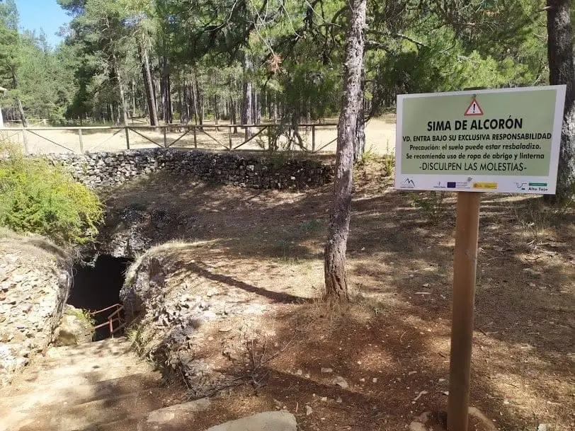
Resin tappers: pine woods that smelled of work
Resin tapping in Alto Tajo, the local pica en redondo technique, turpentine factories and the last factory’s closure in 1983.
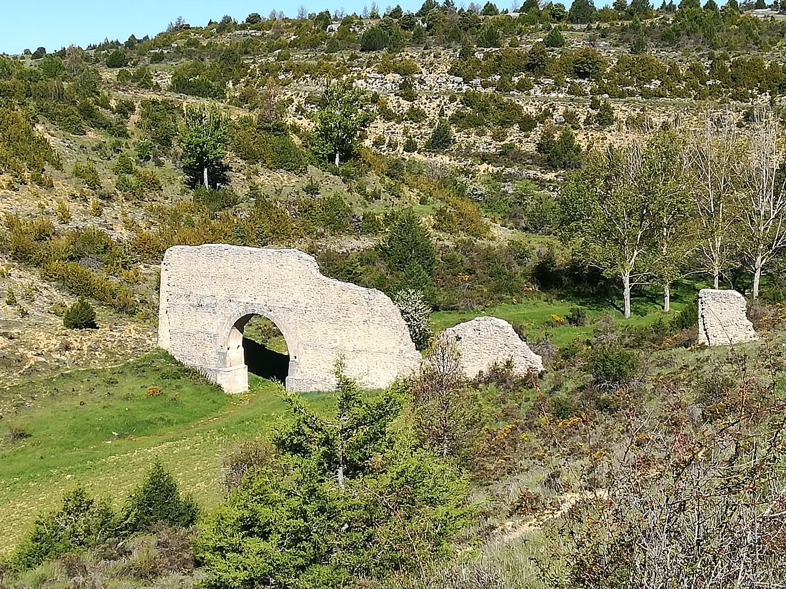
The water Rome brought across
Zaorejas’s aqueduct, Las Casutillas villa in Corduente and Cueva del Hierro mine: Rome’s sparse, selective presence in Alto Tajo.
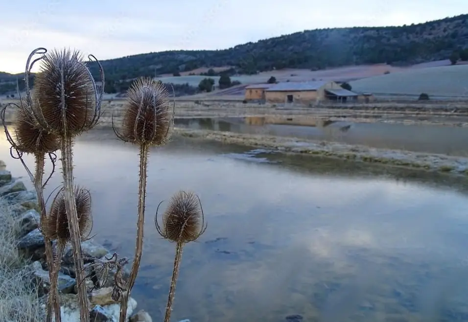
The salt of the earth: inland saltworks in Alto Tajo
Armallá, Saelices de la Sal, Terzaga and La Inesperada: making salt far from the sea, and the wealth it brought to lords and kings.
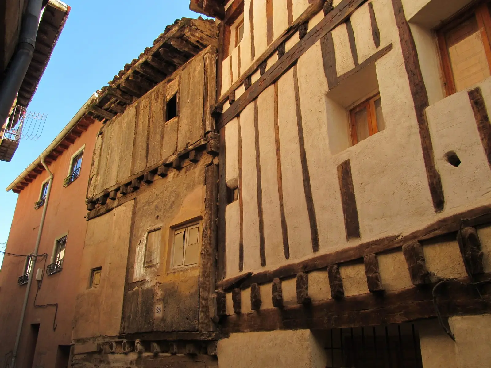
Fairs, dealers and muleteers: a land that lived on the road
Molina’s Saint Michael livestock fair, Maranchón’s mule dealers, Milmarcos’s shearers and migaña, the jargon for negotiating unheard.
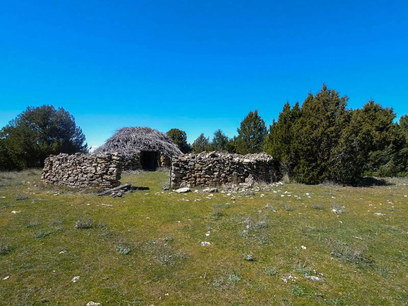
Chozones sabineros: a home for shepherd and flock
What Alto Tajo’s juniper huts are, how they were built without nails or tiles, where to see them and who is saving them.
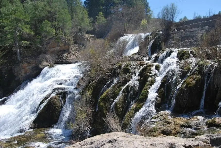
The water that drove the wheels: mills, fulling mills, trip hammers and the first electric light
Flour paid for in grain, wool beaten in fulling mills, ironwork trip hammers and mills powering the first light bulbs. Dams now returning to river.
A mountain landscape written in names
The 1404–1407 dispute between Molina and Albarracín over Sierra Molina preserved 33 names of springs, livestock tracks, folds and passes.
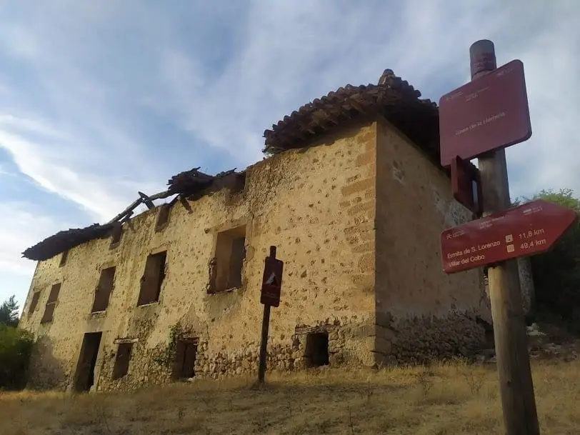
Fire and earth: ironworks, lime kilns, tileworks and ochre mines
Iron from Cueva del Hierro and Peralejos, lime from Villanueva de Alcorón, ochre from Peñalén: trades that drew wealth from rock with fire and water.
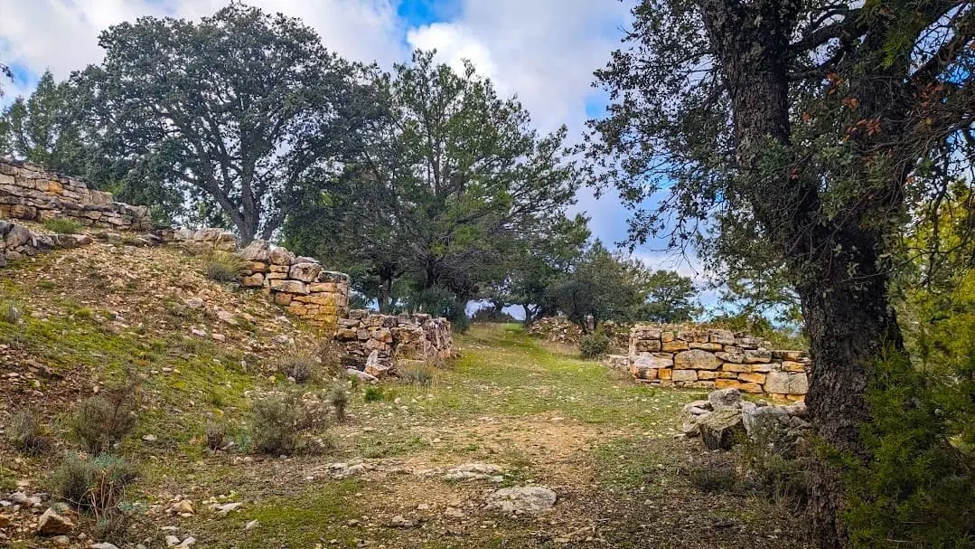
Before Rome: the Celtiberian hillforts of Alto Tajo
How Alto Tajo’s Celtiberians lived, what their hillforts defended, and which sites are properly prepared for visits: El Ceremeño and Peña Moñuz.
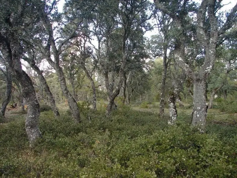
The woods that fed people: charcoal, firewood, pollards, commons and hives
Charcoal clamps in Sierra Molina, pollarded oaks for fuel and fodder, common pastures spared from land sales and beehives on the plateaux.
Everyday plants: what the countryside gave and people knew how to use
Lavender in Peralveche, asphodel in Checa and juniper for shepherds’ huts: traditional Alto Tajo uses recorded by local sources.
What could be made from a stalk, a log or a horn
Rye baskets, log troughs, pine bark, horn containers and hearth chains: Masegosa’s material life, told through its own words.
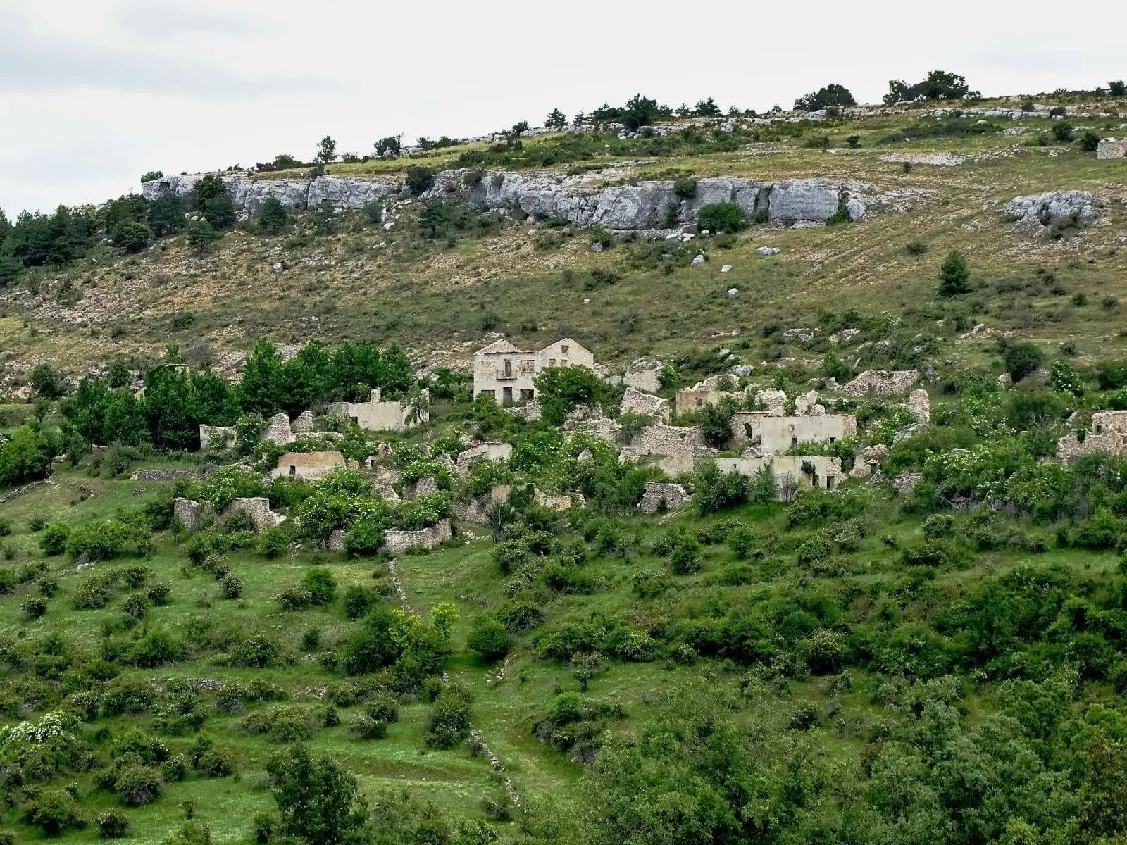
The villages that emptied
How Alto Tajo lost almost nine in ten inhabitants in a century, with village-by-village census figures and the stories of abandoned settlements.
Roads of wool, salt and timber
Mesta livestock trails, transhumance to Sierra Morena, dealers’ roads and salt paths: Alto Tajo’s network, now followed by long-distance trails.
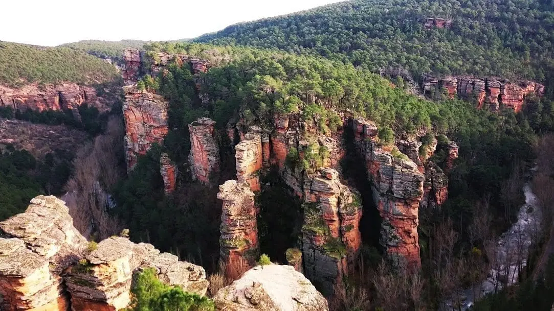
Festivals and rites: soldiers, devils, brotherhoods and pilgrimages
Luzón’s Devils, Hinojosa’s mock battle, Molina’s military Carmen brotherhood and the Virgen de la Hoz Loa: the Señorío’s festive calendar.
White earth: kaolin in Alto Tajo
The white sands of Peñalén and Poveda yielded ochre, then open-pit kaolin. Today, European LIFE funding supports restoration of the mined landscape.
Life that returns (and life that disappears)
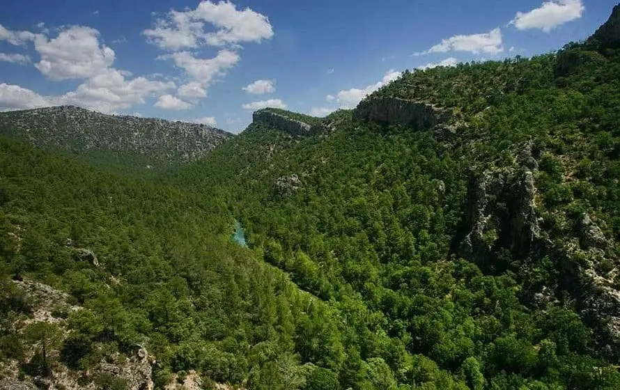
Deer entering the fields, bearded vultures returning, crayfish and elms disappearing: nature in Alto Tajo has a memory too.
A year in a mountain village
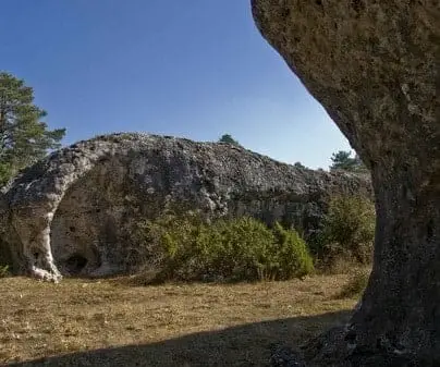
Pasture fenced with thorns, asphodel and lavender, the communal oven, pig slaughter and Judas Pine: a mountain village’s calendar in residents’ words.
What people said while they worked
“Copper to spare” in Checa, the miller’s bad name, childhood service in Zaorejas and the lavender song of Peralveche.
The women who also told the village’s story
Juliana la Jabonera in Alustante, tía Jacinta and la Molinera in Checa: school, domestic service, the river and the shop in mountain women’s lives.
What a roof tile can hold
How tiles were made at Arbeteta’s kiln by tilemakers from Valencia and Alicante, and how Labros’s old forge became a community centre.
An old pack of cards, an elder branch
Estornija, cartetas and an elder-wood popgun: how children in Labros made their toys and played, as Fernando Gutiérrez recalled in 2009.
The war that entered people’s homes
A child shepherd in Checa, a shop in Alustante and a farmers’ association that did not survive: village memories of war and its aftermath.
The bread Paulino saved
Paulino and Silveria: shepherding, sewing and emigration. Republican schooling, the postwar years and the move to Madrid in Alustante’s memory.
The village that made glass
El Recuenco’s glass furnaces, from the 16th to the 19th century: five hundred alembics for El Escorial, royal glassware and basket-laden carriers.
When the village could be heard
Death, alarm and fog signals in Armallones, Checa’s Campanillo, Arbeteta’s Mambrú and Alustante’s clamores.
A House to Stay
Village homes open a few weeks a year, miners without rentals in Poveda, and teachers' quarters renovated in El Recuenco: housing in Alto Tajo today.