Alto Tajo · 41 places
Alto Tajo geology
Alto Tajo belongs to the Molina-Alto Tajo UNESCO Global Geopark for its rich geological record: fossil-filled marine rocks, Triassic red sandstones, enormous folds, tufa forming today and karst landscapes. This list gathers atlas geological sites, many with panels and geological trails.
Walking Alto Tajo means crossing hundreds of millions of years. Here are ancient-sea fossils, Triassic river sandstones, folds bending entire rock layers, mesas and rocky passages sculpted by erosion, and tufa forming before our eyes.
Reading a rock
Notice three things: colour — iron red, limestone grey — layers, horizontal, tilted or folded, and what is inside, shells, traces or pebbles. That is enough to begin telling the place’s story.
Traces to keep reading
These places connect the theme with the territory’s stories. Choose a trace and open its page to follow the story.
- La Aguaspeña: Recognise growing tufa.
- Barranco de la Hoz: Observe red sandstone and canyon forms.
- Taravilla Lagoon: Understand a natural barrier holding water.
This landscape through layers of time
The places in this theme preserve traces of these eras. A single place can appear in several.
All places (41)
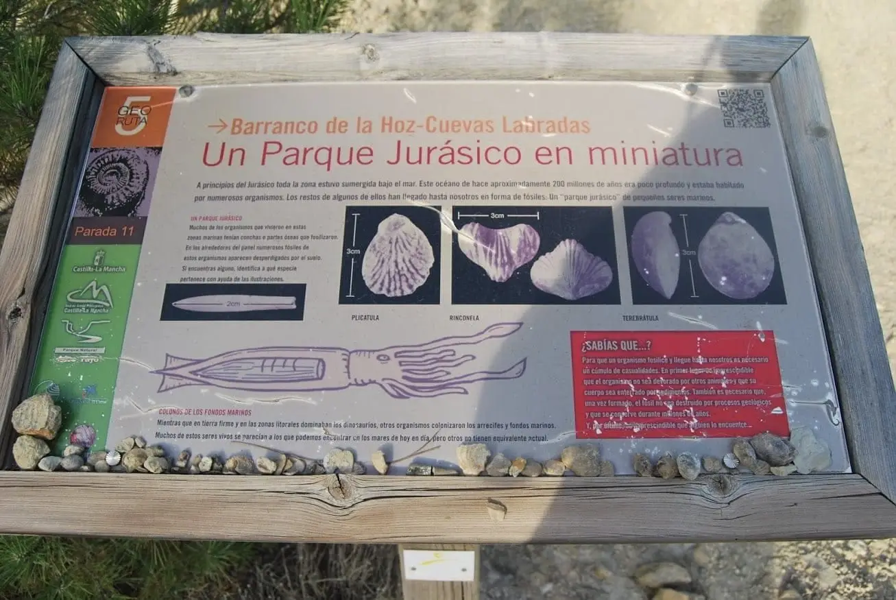
Marine fossil site at Cuevas Labradas
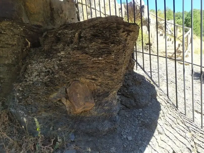
Checa Dropstone: a boulder dropped from an iceberg 440 million years ago
Checa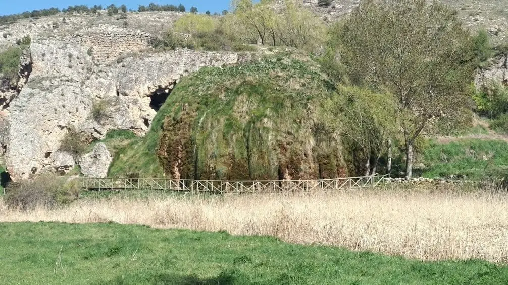
The Aguaspeña of Checa: a living rock growing 4 cm a year
Checa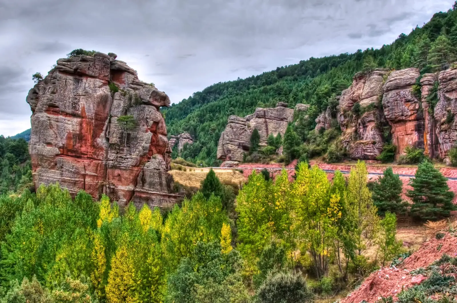
Las Quebradas: the little enchanted city of Chequilla
Chequilla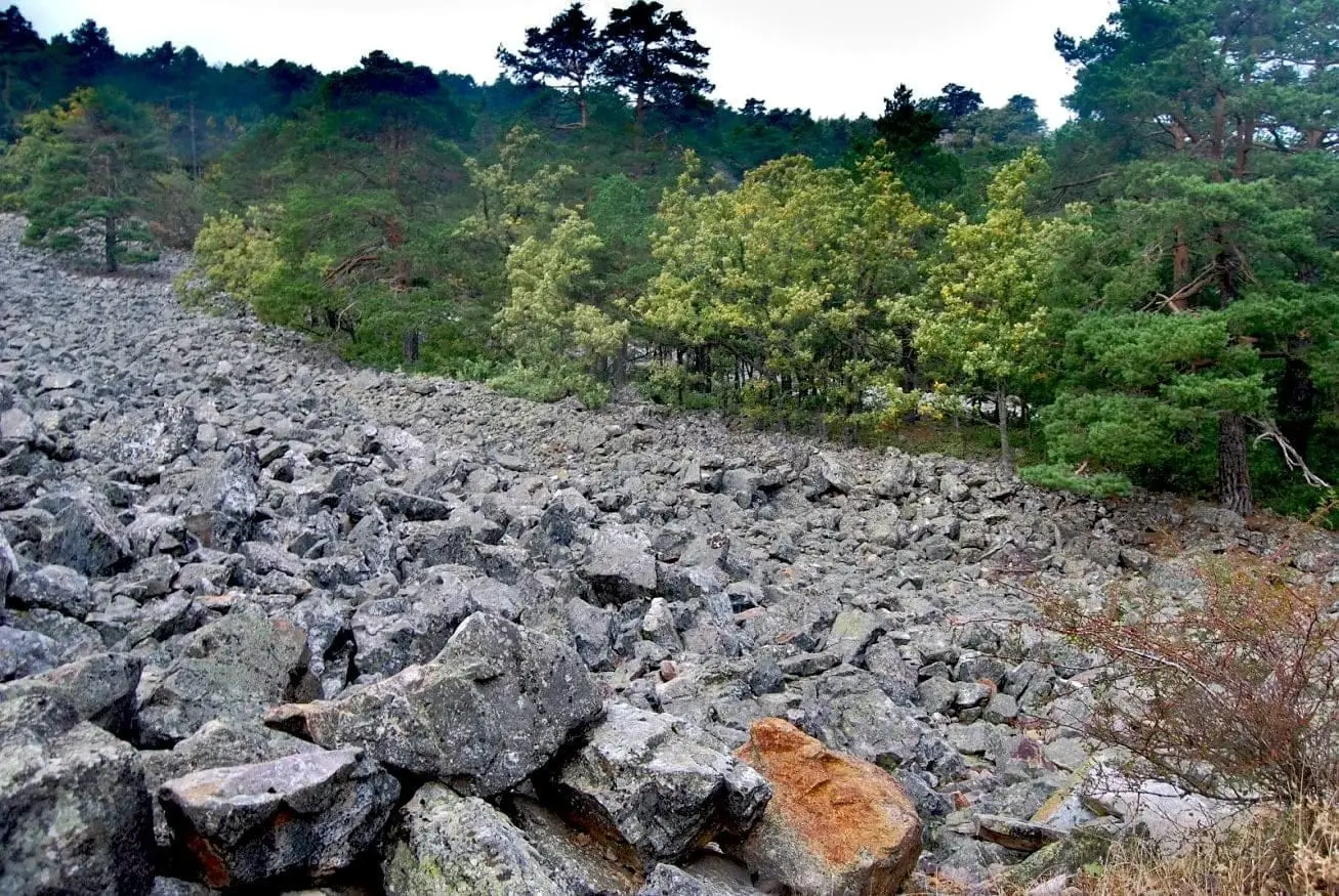
Orea Stone Run: a boulder river you can hear
Orea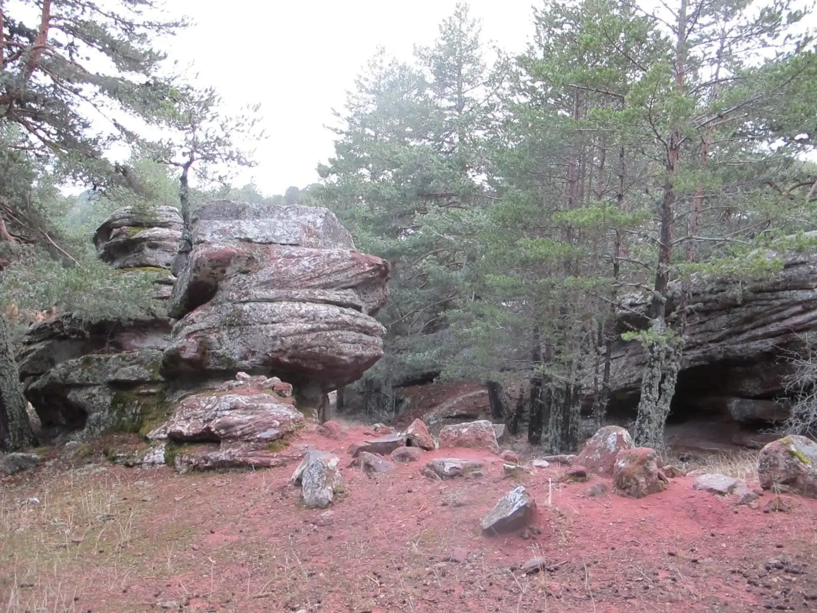
Corridors of Peñas Rubias: the enchanted city of Orea
Orea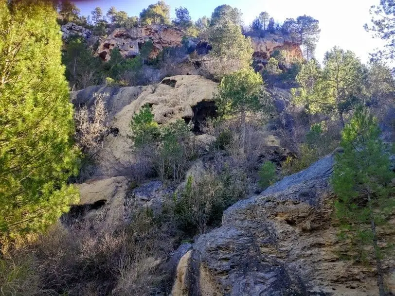
La Escaleruela: the stepped tufa waterfall of Zaorejas
Zaorejas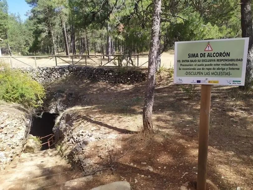
Sima de Alcorón: Descending 63 Metres to the Heart of the Paramera
Villanueva de Alcorón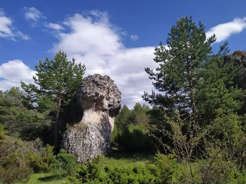
Enchanted city of Hoya del Espino (Peñalén)
Peñalen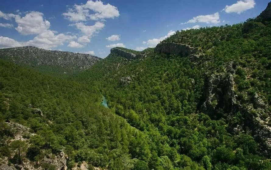
Hundido de Armallones: the rock collapse that dammed the Tagus
Armallones, Ocentejo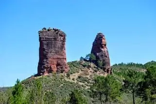
Valle de los Milagros: red sandstone towers in Riba de Saelices
Riba de Saelices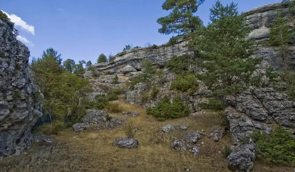
Muela Pinilla y del Puntal: Natural Monument in Masegosa
Masegosa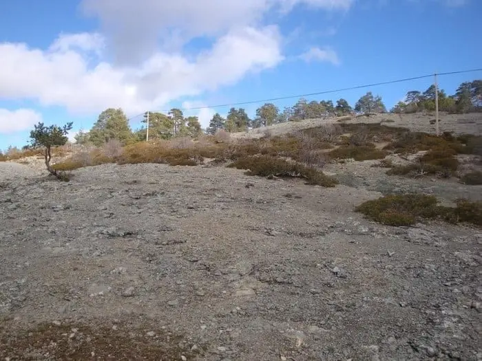
Ancient volcano of Orea: 270-million-year-old dacites
Orea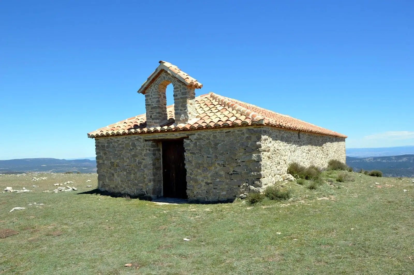
Cerro de San Cristóbal (Orea): 1,862 metres and dark night skies
Orea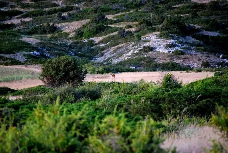
Sierra Molina: Ancient Dehesa of Transhumance
Checa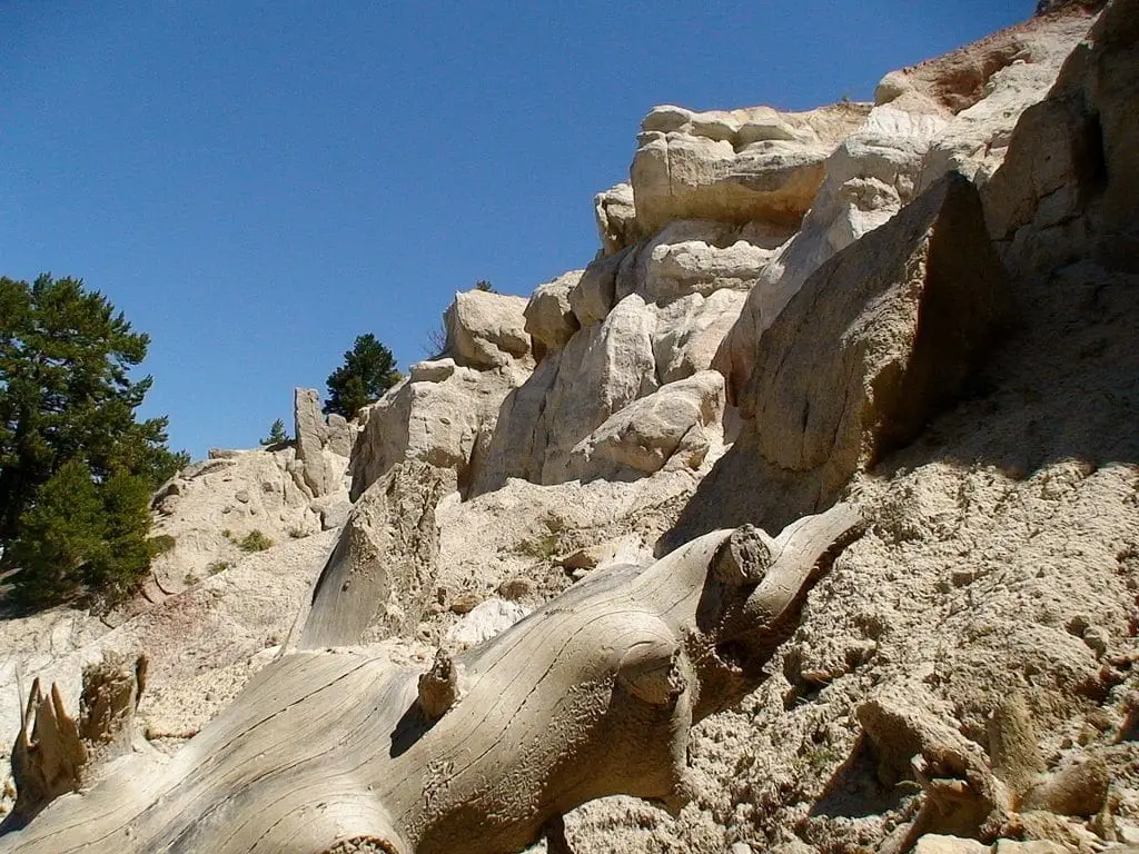
Terreras de la Virgen (Cárcava de Ribagorda)
Peralejos de las Truchas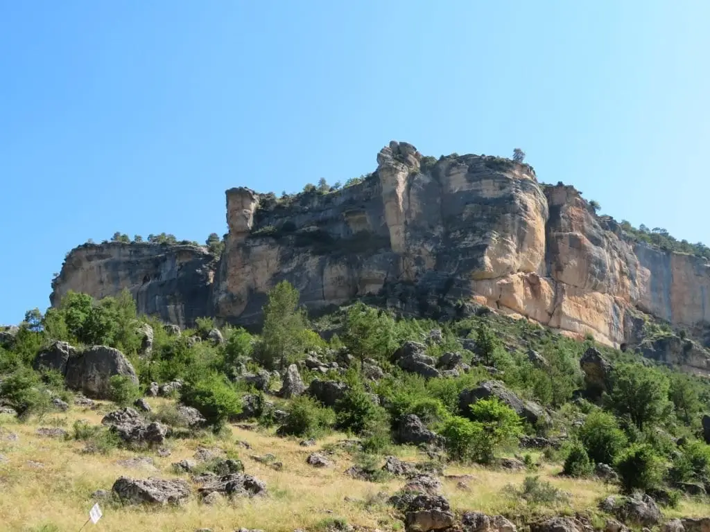
Muela de Utiel: the great karst plateau between Tagus and Cabrillas
Peralejos de las Truchas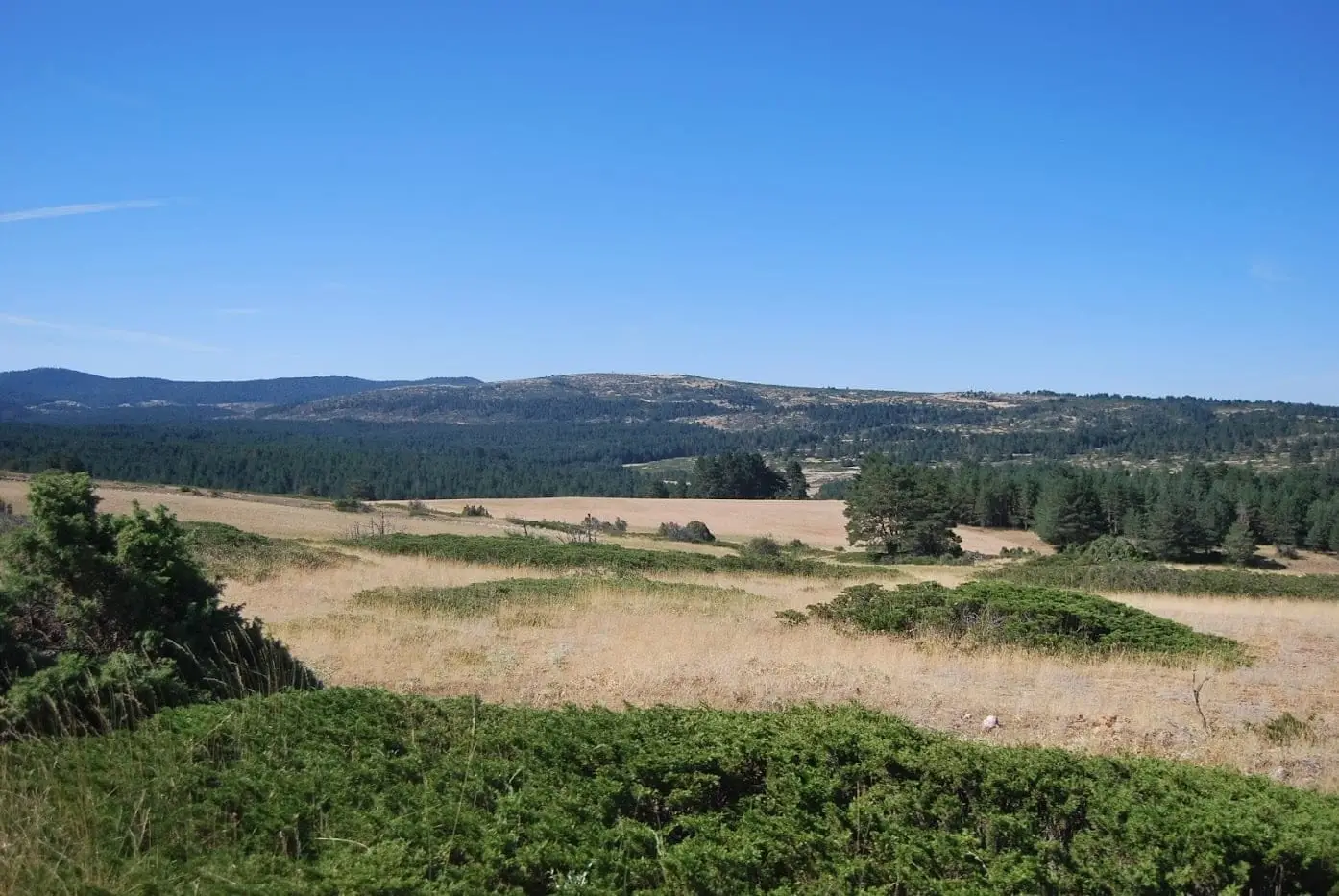
Altos de la Campana (Checa): between the Tagus and Hoz Seca
Checa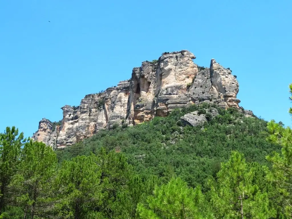
Muela del Conde (Taravilla): the boldest mountain in the Park
Taravilla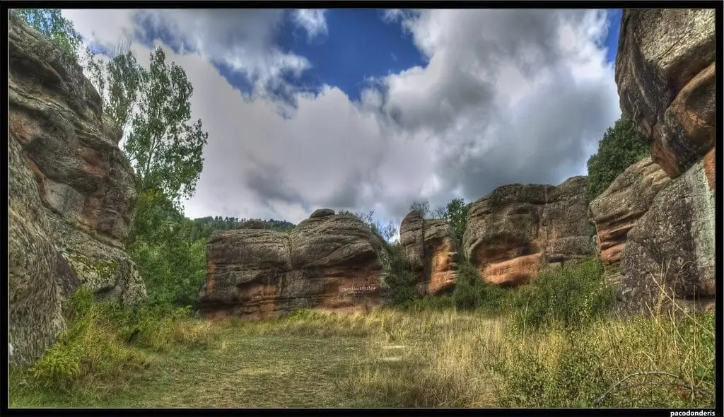
Chequilla bullring: an arena between stone towers
Chequilla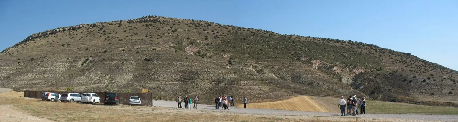
Fuentelsaz Stratotype: a global geological reference standard
Fuentelsaz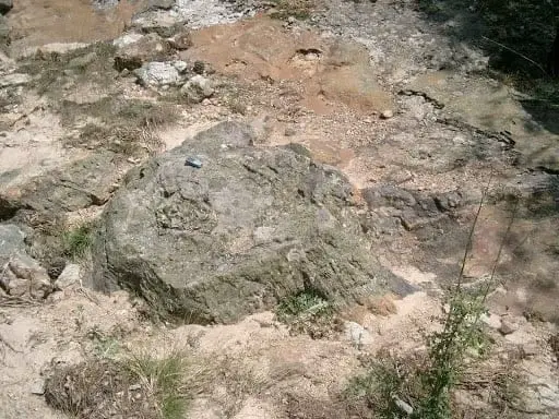
Fossil forest of Rillo de Gallo: a 300-million-year-old Pompeii
Aragoncillo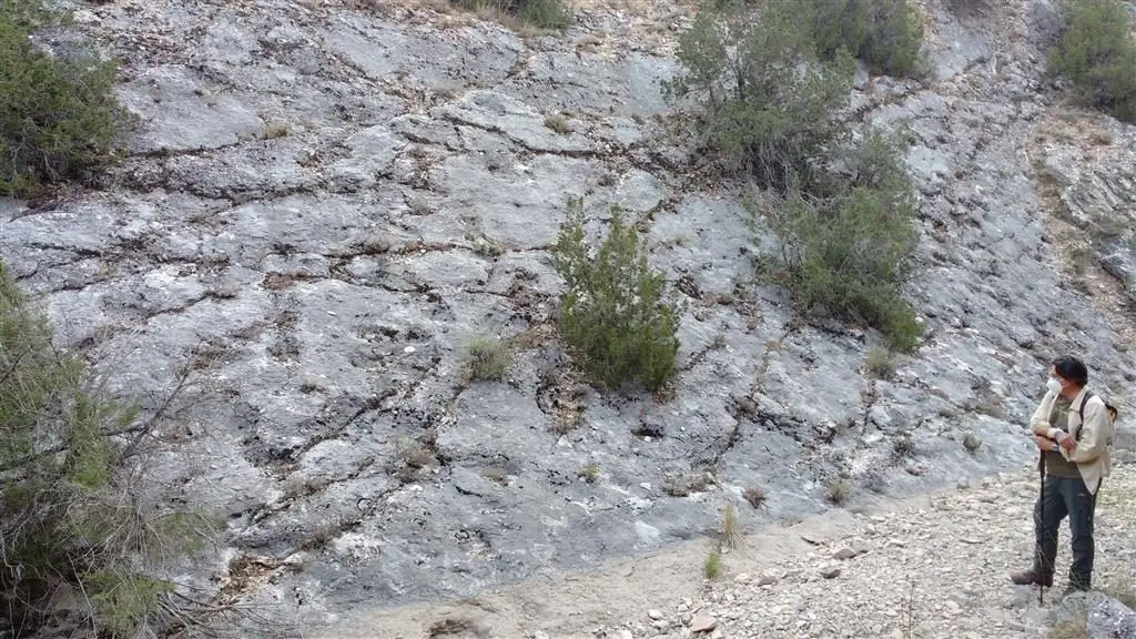
Fossil ray traces of Esplegares, from the Lower Jurassic
Esplegares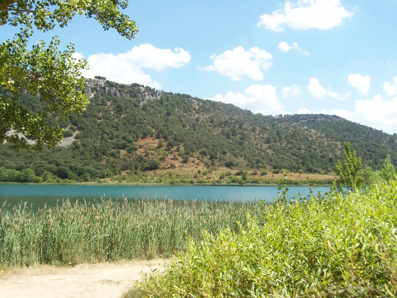
Laguna Grande de El Tobar (Beteta): a lake with saltwater at the bottom
Beteta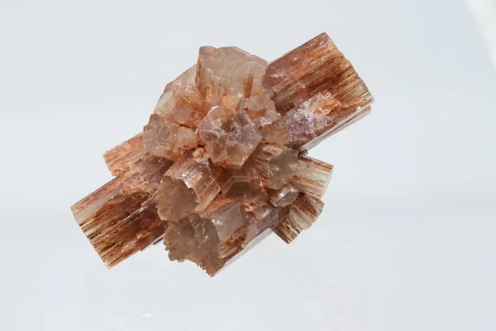
Type locality of aragonite: the mineral named after Aragon
Molina de AragónCuevas Labradas folds: rocks folded like an accordion
Cuevas LabradasAbandoned meander of Hoya de la Parra (Taravilla)
TaravillaCheca Graptolites: Fossils That Look Like Writing
ChecaPoljé del Cubillo (Checa): a closed karst valley
ChecaCueva del Tornero (Checa): the great subterranean cavity of central Spain
ChecaLa Tejera experimental area (Checa): the ten rocks of the Park
ChecaTormo de Mochales: The Rock Tower of the Mesa Valley
MochalesPardos mines: Mina Estrella and its copper minerals
PardosEl Huso: the stone monolith of Barranco de la Hoz
CorduenteSetiles iron mines: the other side of Sierra Menera
SetilesPico Alar: balcony over the Hundido de Armallones
OcentejoPeñalén folds: a tropical sea crumpled by the earth
PeñalenVariscan folds between Checa and Orea: the oldest rock wrinkles
ChecaFossil waves of Padilla del Ducado: a 240-million-year-old seabed
AnguitaTriassic rivers in Rillo de Gallo: current traces from 240 million years ago
Rillo de GalloPeñalén Mining Museum
PeñalenFrequently asked questions
What is Molina-Alto Tajo Geopark?
A UNESCO-recognised Global Geopark caring for and explaining the geological heritage of the Lordship of Molina and Alto Tajo, through geological trails and signposted sites.
What are geological trails?
Geopark itineraries connecting geological sites with explanatory panels. Find them in the atlas’s routes section.