Water source
Hoz Seca or Oceseca River: the cold heart of the Park
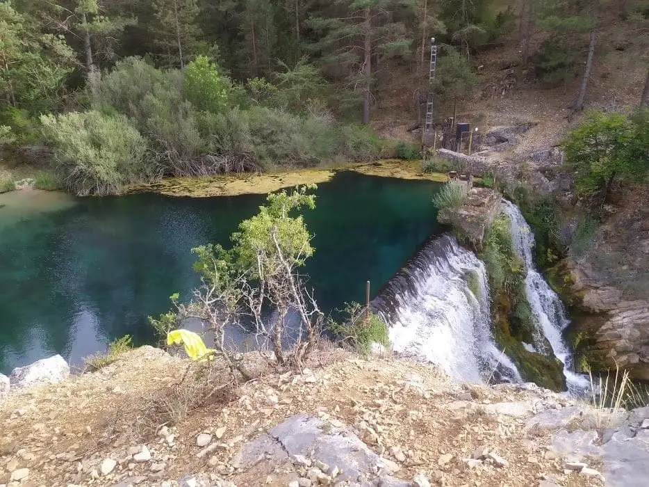
The Hoz Seca River, also called Hoceseca or Oceseca, rises in the Sierra de Albarracín and joins the Tagus at Las Juntas, marking the border between Guadalajara and Cuenca. Over its 32 kilometres it flows through deep limestone gorges with clear, cold water, disappearing underground along some stretches.
Rivers and basins
The thread of water from Hoz Seca or Oceseca River: the cold heart of the Park
Follow these watercourses towards their confluences, villages, and basin history.
- 32 km
- Border with Cuenca
- Cold water
- Underground flow
A river of many names
Río del Puerto, Hoz Seca, Hoceseca, and Oceseca all trace the same continuous thread from the Sierra de Albarracín down to Las Juntas. The basin overview brings together its headwaters, tributaries, and connected villages.
Water inside the limestone
Underground water flow explains why certain stretches can appear completely dry on the surface. Its gorges and caves form an integral part of understanding how water interacts with rock. From Cueva del Tornero you can continue into geological history.
Location
This entry does not yet have a verified cartographic location.