Episode · 450 million years ago – today · Before us
Before us: the long time of stones
Long before hillforts and villages, Alto Tajo was a cold sea near an icy pole, a forest buried by ash, a plain of red rivers, salt lagoons and a tropical sea. Then the land folded and the Tagus began cutting into it. Each age left something visible today: Checa’s graptolites, red sandstone at Barranco de la Hoz, folds at Cuevas Labradas and tufa still growing.
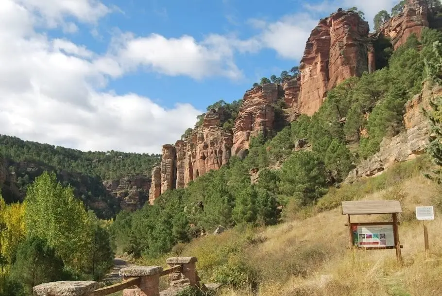
Photo: El Observario
A stone clock
If Earth’s whole history fitted into a day, Alto Tajo’s oldest rocks would appear at around twenty to ten at night. The first humans would arrive in the last six seconds. Everything Memory recounts — hillforts, the Lordship, timber floaters — occupies less than a final blink.
This story concerns what came before. Reading it in the landscape needs only the understanding that each rock remembers this place when it formed. Some were born on seabeds, others in rivers, lagoons or volcanoes. Their order, bottom to top, is time’s order.
A cold sea near the pole
Over 400 million years ago this land lay far away, part of Gondwana, a great southern continent near the pole. It was seabed. Graptolites, small colonial animals, lived in the mud; today they appear as grey, saw-toothed marks on black slate. In Checa’s slates they are easily found, around 430 million years old, with no surviving descendants.
Icebergs floated in that sea. Melting, they dropped trapped stones onto the bottom. One remains embedded in slate: Checa’s dropstone, from a glaciation between 444 and 428 million years ago. It is among the Geopark’s most valuable sites, and hardest to imagine: an iceberg right here.
A stone forest and a volcano
Around 300 million years ago, conifers grew at Rillo de Gallo. A volcanic eruption buried them beneath silica-rich, oxygen-poor ash, turning wood to stone without losing its structure. Like Pompeii, but with trees.
Later, around 270 million years ago, magma reached the surface near Orea in two eruptions. Its dacite rocks still stand out beside the road. Few expect a volcano in Alto Tajo.
Red rivers
Around 250 million years ago, in the Triassic, great rivers crossed a dry plain, depositing sand and pebbles stained red by iron oxide. This is the rodeno forming Barranco de la Hoz’s walls, El Huso’s monolith, Los Milagros’s towers, Chequilla’s Las Quebradas and Orea’s Peñas Rubias passages. Along the Rillo de Gallo–Pardos road, sandstone preserves ripples and cross-bedding left by currents. Fractures and erosion later sculpted these red enchanted cities.
A first sea
Between rivers and lagoons a shallow sea briefly advanced. Near Padilla del Ducado in Anguita, waves rippled its floor, preserved in stone as Padilla del Ducado’s fossil waves, around 240 million years old, Spain’s finest place to see these giant ripples.
Salt lagoons
At the Triassic’s end, coastal lagoons repeatedly dried out, leaving salt, clay and gypsum. Millions of years later, buried salt emerged dissolved in springs feeding Armallá’s and Saelices’s saltworks, as told in The salt of the earth. These clays contain aragonite, first described from Molina de Aragón specimens and now the Geopark’s symbol. The same layers underlie La Salobreja’s sinkhole and brackish lagoon in Orea.
The tropical sea
Then the sea came, warm and shallow. For over fifty million years it flooded the land; Geological Trail 5 describes a journey towards the sea, from river sandstones at Barranco de la Hoz to marine limestones at Cuevas Labradas.
It left many memories:
- In Esplegares, around 190 million years ago, rays disturbed the seabed while feeding, leaving pits: Spain’s oldest site of this trace type.
- At Cuevas Labradas brachiopod and bivalve fossils, distant relatives of scallops, are easily seen.
- At Fuentelsaz, layers around 175 million years old define a geological transition worldwide: a stratotype chosen in 2000. Spain has only five.
Later, in the Cretaceous, white, yellow and red Utrillas sands were deposited, supplying Peñalén’s ochre and kaolin, described in Alto Tajo’s kaolin, with fresh marine limestones above.
The land wrinkles
This land folded twice. First around 300 million years ago, when continents collided into one supercontinent: the Variscan folds visible along the Checa–Orea road in the oldest slates and quartzites date from then.
Much later the newer layer cake also folded. During the Tertiary, plate collisions raising the Pyrenees and Alps pushed these lands too, bending layers like a wrinkled carpet. Cuevas Labradas’s folds compressed like an accordion in the Gallo gorge; Peñalén’s bent beside Poveda’s Arroyo de la Hoz. At Hundido de Armallones a great recumbent fold appears in the canyon wall. Near Taravilla, at Hoya de la Parra, the river exposes an anticline’s cross-section.
The river cuts
Once the land rose, water began its work. Over the last few million years, the Tagus and tributaries incised the plateau, opening canyons hundreds of metres deep. Flat mesas and plateaux remained above, the river below. Any Park viewpoint makes it clear.
Water works inside too. Dissolving limestone, it opens shafts such as Alcorón’s, 63 metres deep; lowers ground into poljes such as El Cubillo in Checa; and sculpts enchanted cities such as Hoya del Espino beside Peñalén. Sometimes a river abandons a bend, leaving it dry as at Hoya de la Parra, or isolates a rock pillar such as Tormo de Mochales.
Ice
During cold periods over the last few hundred thousand years, ice did its part. In Orea’s quartzite ridges, water freezing in cracks split rock, and blocks slid downhill over frozen ground. Thus formed Orea’s stone river: thousands of angular blocks beneath which a stream can still be heard.
Only yesterday
Some rocks are as old as human history. Around 11,000 years ago, a tufa barrier 30 metres high dammed a valley to form Taravilla Lagoon, whose sediments preserve the last two thousand years’ climate. Aguaspeña’s tufa in Checa grows around four centimetres annually: two thousand years ago, when hillforts were built, it did not yet exist.
In 1578, Ocentejo’s residents sought Philip II’s help after a great canyon collapse, giving Hundido de Armallones its name. In the 20th century the Tagus began coating a failed dam’s broken concrete with tufa, creating Salto de Poveda. La Escaleruela, beside Puente de San Pedro, keeps growing each winter that brings water.
Reading the landscape
Almost everything here can be seen along Park and Geopark geological trails, reading rocks stop by stop: find them in official routes, and protection categories in protected areas. Remember one simple rule: fossils and rocks stay where they are. They are pages in a book that took 450 million years to write.
Vocabulary
- Gondwana
- The great southern continent containing this land over 400 million years ago, when it lay near the pole.
- Graptolite
- A small, long-extinct colonial marine animal. Its name means “written stone”, resembling a mark on slate.
- Dropstone
- A rock carried in an iceberg and dropped onto the seabed when the ice melted.
- Rodeno
- The local name for Triassic red sandstone and conglomerate forming Barranco de la Hoz and Chequilla.
- Stratotype
- A rock layer chosen as a worldwide reference marking the transition between geological ages.
- Fold
- A rock layer bent by movements of the Earth. An upward arch is an anticline.
- Polje
- A large closed depression in limestone, with a flat floor, formed by water dissolving rock.
- Tufa
- Rock forming today as lime-rich water deposits mineral on moss and branches. It builds waterfalls and dams lagoons.
Where to see it today
Checa Graptolites: Fossils That Look Like Writing
ChecaVariscan folds between Checa and Orea: the oldest rock wrinkles
ChecaTriassic rivers in Rillo de Gallo: current traces from 240 million years ago
Rillo de GalloFossil waves of Padilla del Ducado: a 240-million-year-old seabed
AnguitaPeñalén folds: a tropical sea crumpled by the earth
Peñalen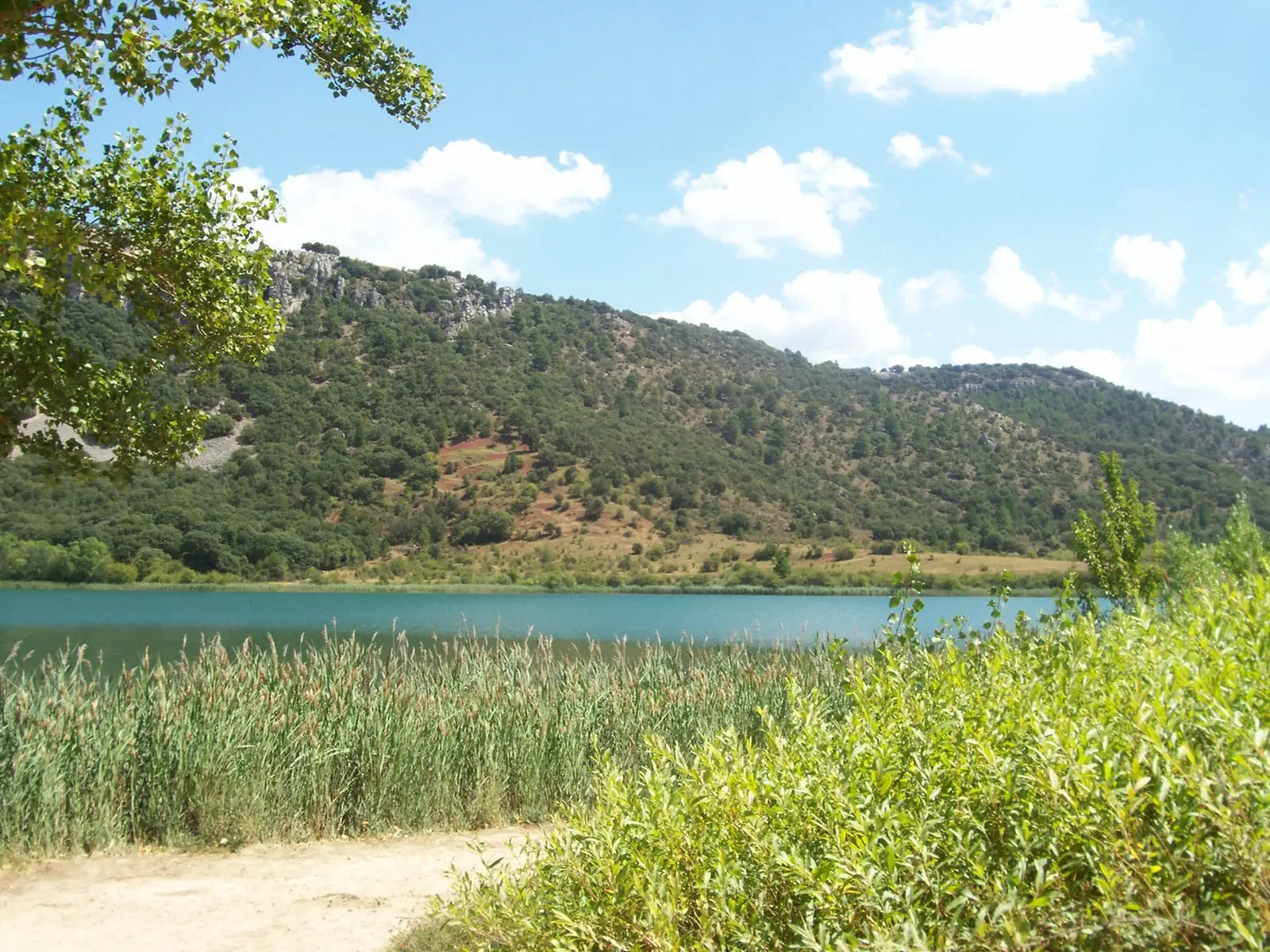
Laguna Grande de El Tobar (Beteta): a lake with saltwater at the bottom
Beteta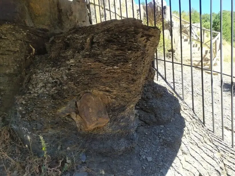
Checa Dropstone: a boulder dropped from an iceberg 440 million years ago
Checa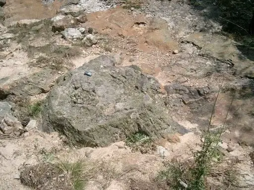
Fossil forest of Rillo de Gallo: a 300-million-year-old Pompeii
Aragoncillo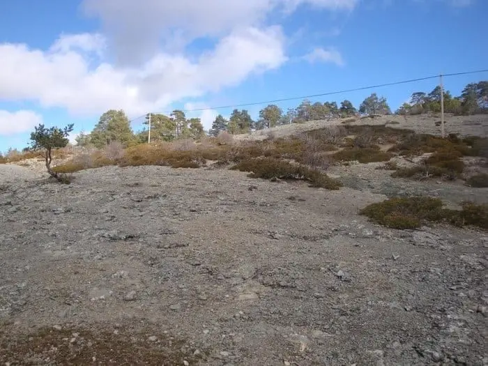
Ancient volcano of Orea: 270-million-year-old dacites
OreaBarranco de la Hoz: the red canyon of the Gallo River
Corduente, Ventosa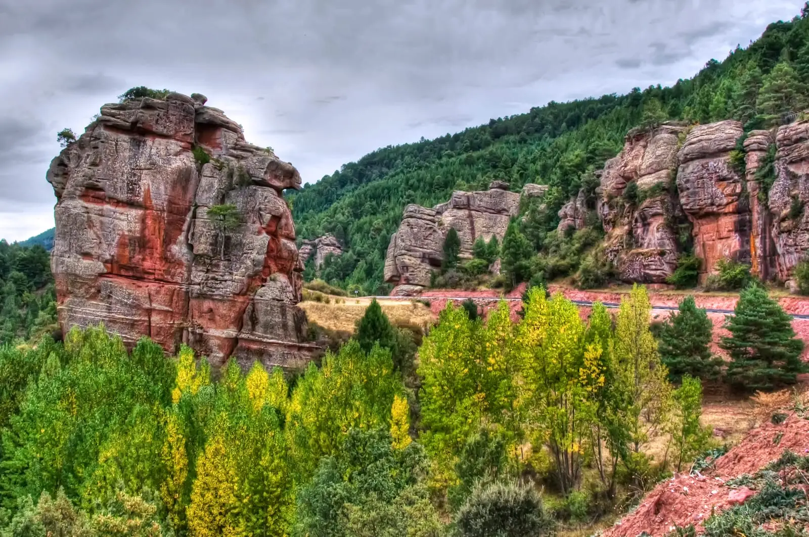
Las Quebradas: the little enchanted city of Chequilla
Chequilla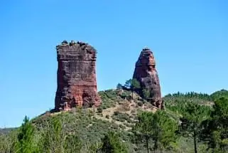
Valle de los Milagros: red sandstone towers in Riba de Saelices
Riba de Saelices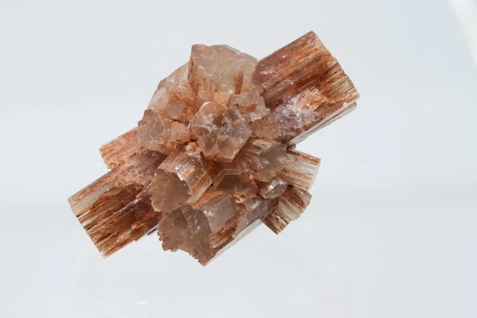
Type locality of aragonite: the mineral named after Aragon
Molina de Aragón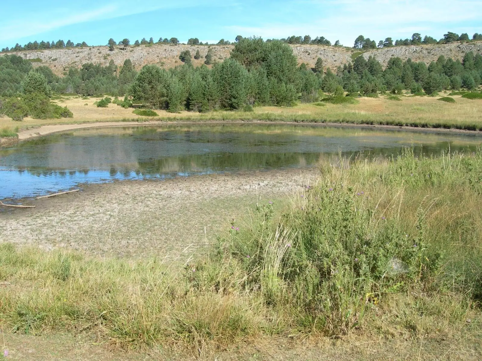
Laguna de la Salobreja (Orea): a saltwater lagoon in the mountains
Orea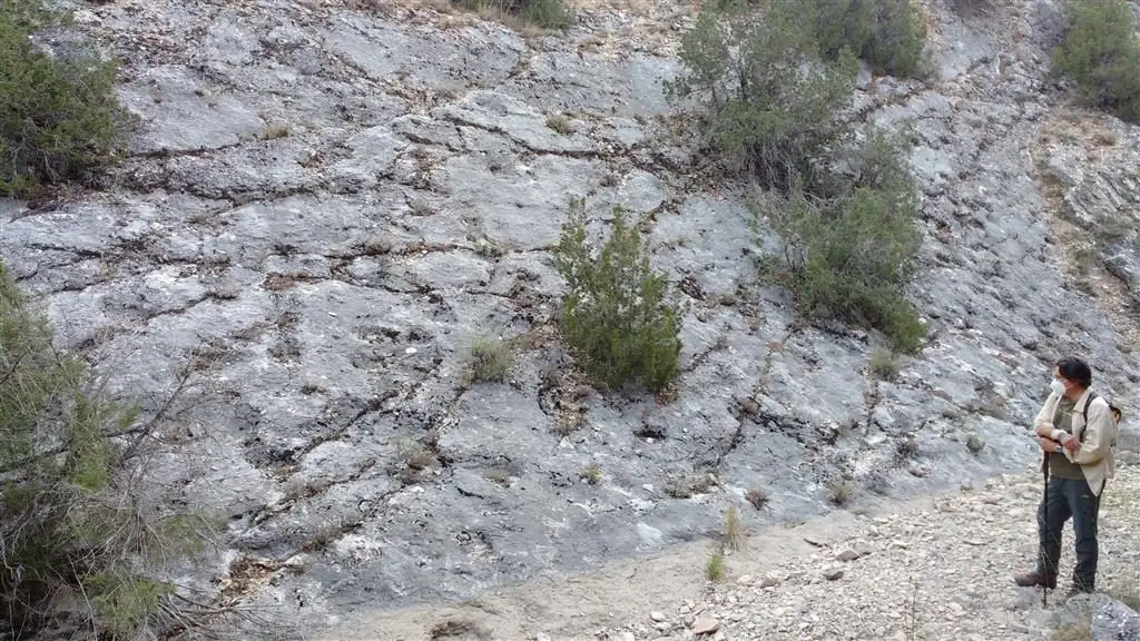
Fossil ray traces of Esplegares, from the Lower Jurassic
Esplegares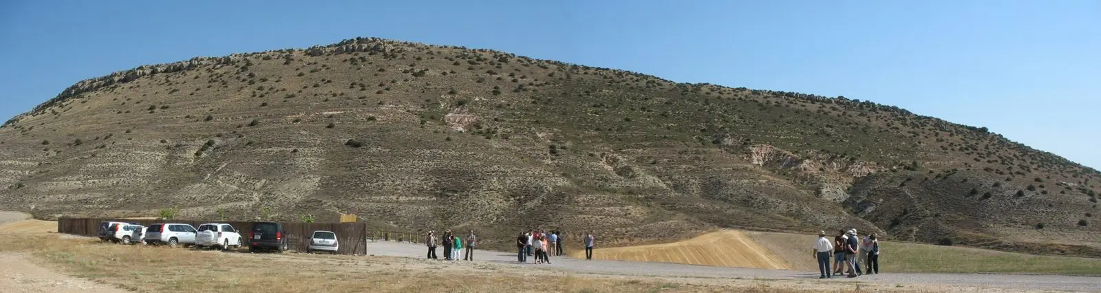
Fuentelsaz Stratotype: a global geological reference standard
Fuentelsaz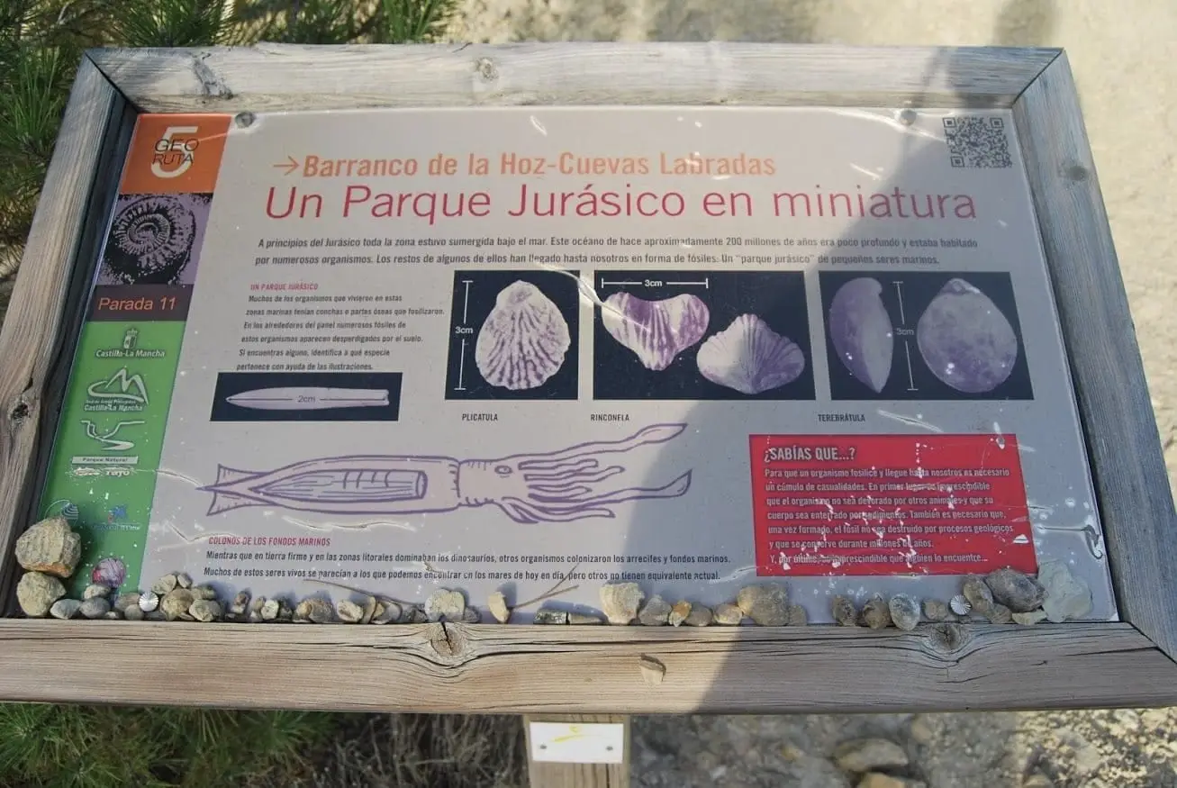
Marine fossil site at Cuevas Labradas
Cuevas Labradas folds: rocks folded like an accordion
Cuevas Labradas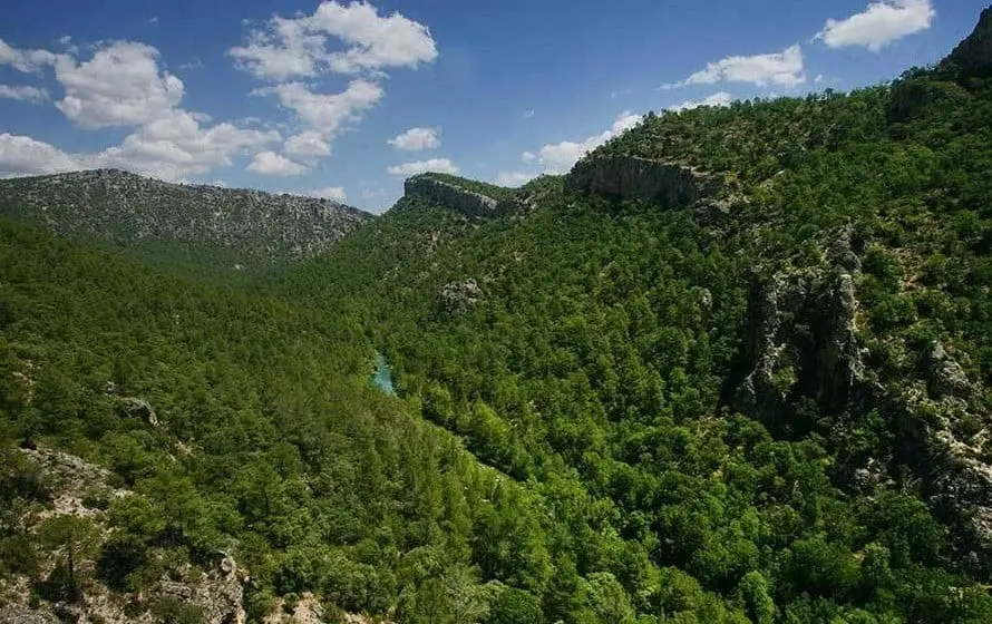
Hundido de Armallones: the rock collapse that dammed the Tagus
Armallones, OcentejoAbandoned meander of Hoya de la Parra (Taravilla)
Taravilla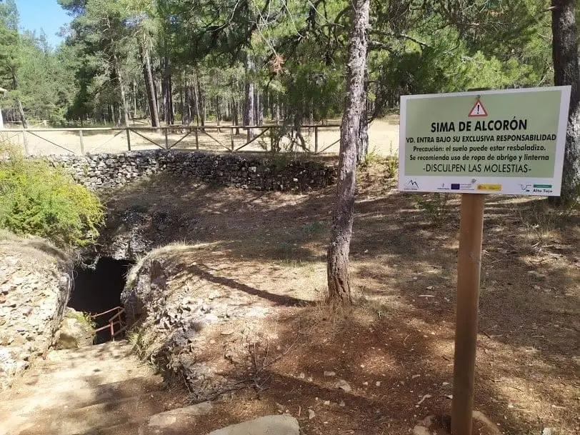
Sima de Alcorón: Descending 63 Metres to the Heart of the Paramera
Villanueva de AlcorónPoljé del Cubillo (Checa): a closed karst valley
Checa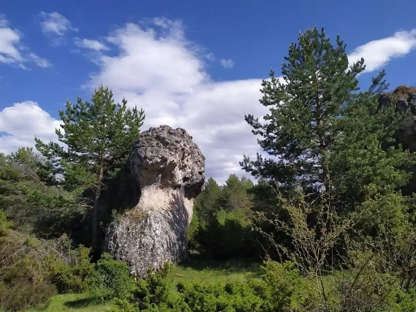
Enchanted city of Hoya del Espino (Peñalén)
Peñalen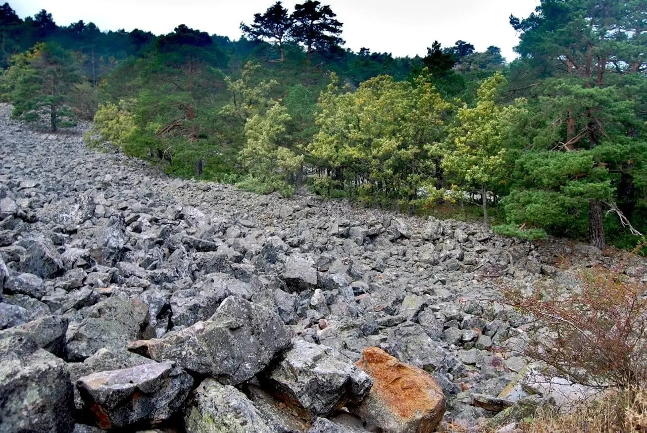
Orea Stone Run: a boulder river you can hear
Orea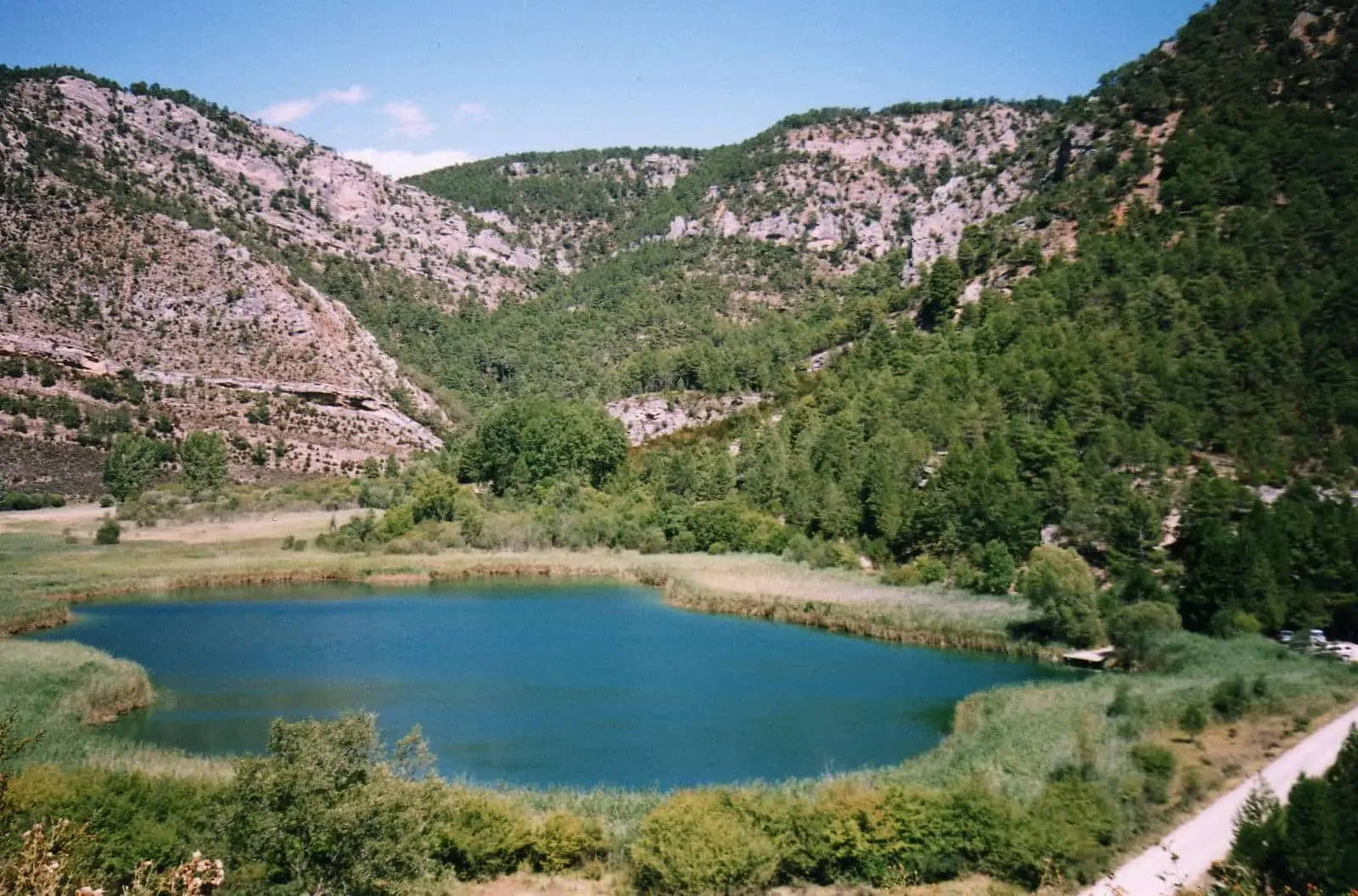
Laguna de Taravilla: an 11,000-year-old natural tufa dam
Taravilla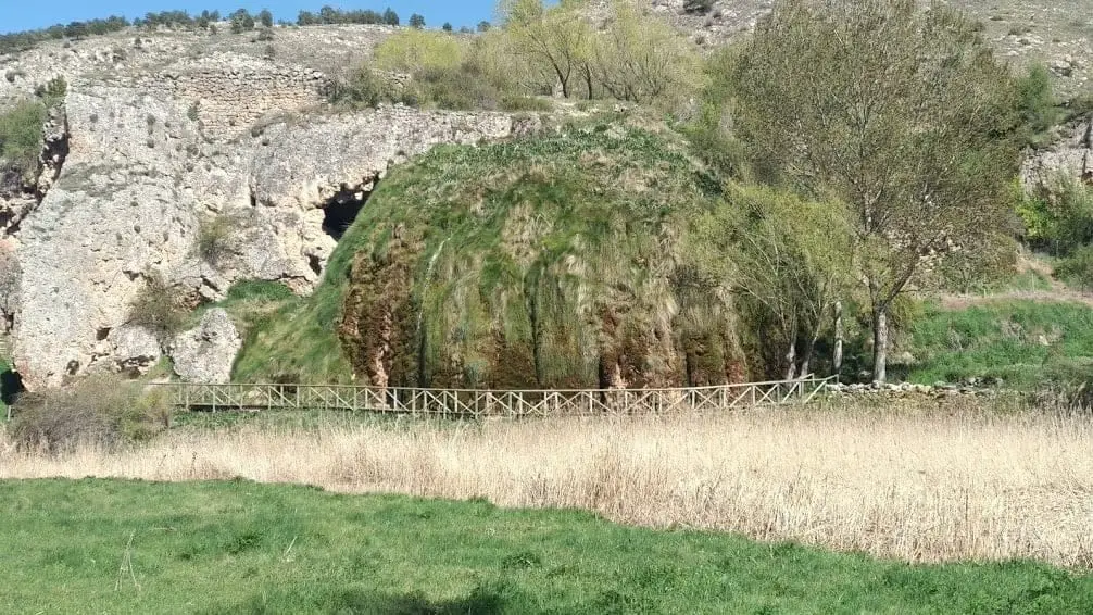
The Aguaspeña of Checa: a living rock growing 4 cm a year
Checa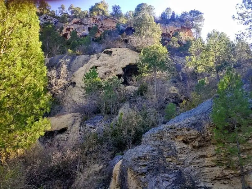
La Escaleruela: the stepped tufa waterfall of Zaorejas
Zaorejas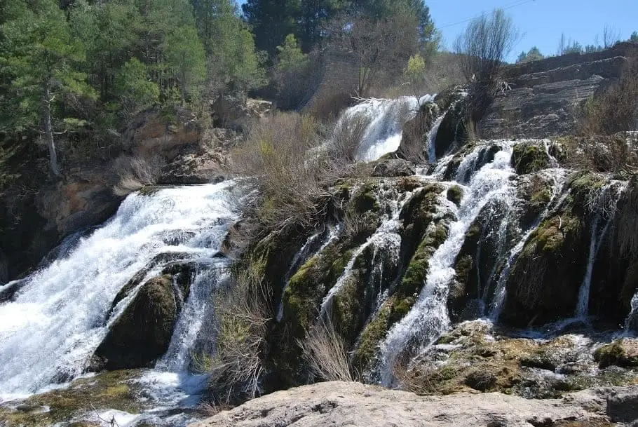
Salto de Poveda: The Largest Waterfall in Alto Tajo
Poveda de la Sierra, TaravillaFrequently asked questions
What is the Molina-Alto Tajo Geopark?
A territory recognised by UNESCO for its rich geological history, covering Molina de Aragón and Alto Tajo. It is a way of caring for and explaining this heritage through geological trails, panels and interpretation centres.
What are Alto Tajo’s oldest visible rocks?
The slates around Checa, with graptolites around 430 million years old and the dropstone, a rock dropped by an iceberg into a sea near the pole. The youngest rocks are forming today: tufa at Aguaspeña and Salto de Poveda.
Can I take fossils or rocks away?
No. They belong to the Geopark’s and protected areas’ heritage. Look, photograph and leave them where they are, so the next visitor can read them too.
Sources and readings
- Parque Natural del Alto Tajo: fichas oficiales y folletos de las Georutas 1 a 9.
- Geoparque Mundial UNESCO Molina-Alto Tajo: fichas de geositios y de las Georutas 10 y 11.
- Fichas de geología del atlas, redactadas a partir de las fuentes anteriores y de la guía del Geoparque de la Comarca de Molina-Alto Tajo.
Further reading on the history of this land. Full bibliography.
Next story: A state between two kingdoms: the Lordship of Molina