Alto Tajo · 19 places
River sources, lagoons and rivers of Alto Tajo
Alto Tajo’s water usually emerges from rock: karst springs, river sources and aquifer-fed lagoons. Local rivers therefore retain cold, clear water in summer. Highlights include tufa-dammed Taravilla Lagoon, salty La Salobreja and the Cuervo’s source.
Beneath Alto Tajo lies an invisible second landscape: passages and cavities carrying water. It emerges in springs and river sources, sometimes spectacularly, feeding lagoons and rivers.
Types of water you will see
Explore Rivers and catchments to understand their relationships. The Tagus, Gallo and Hoz Seca link Albarracín’s headwaters with Molina and the canyon; Arandilla, Bullones and Salado trace smaller branches and their memories.
- River sources and springs, where rivers emerge from rock.
- Tufa lagoons, dammed by rock barriers built by water itself.
- Salt lagoons, rare in the mountains, associated with salt-bearing rocks.
- Rivers such as the Tagus, Gallo, Cabrillas and Hoz Seca.
Traces to keep reading
These places connect the theme with the territory’s stories. Choose a trace and open its page to follow the story.
- Taravilla Lagoon: Link with Salto de Poveda.
- La Salobreja Lagoon: Walk through Orea’s mountains.
- Source of the Cuervo: Explore these headwaters on a separate outing.
This landscape through layers of time
The places in this theme preserve traces of these eras. A single place can appear in several.
All places (19)
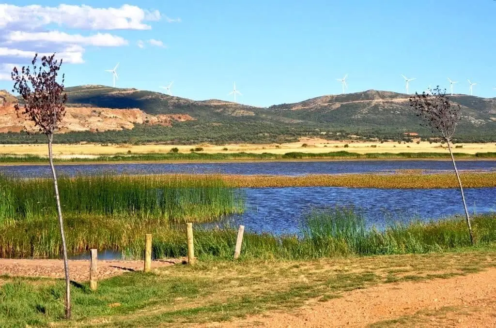
Setiles lagoon or Laguna de los Majanos
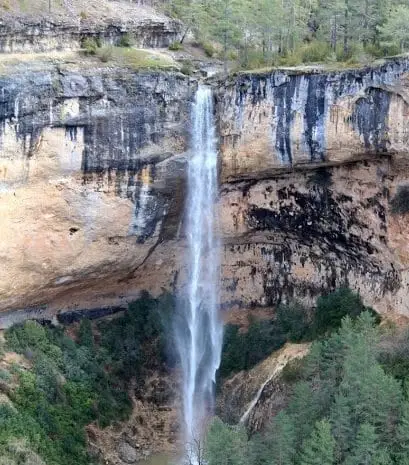
Source of the Escabas River (Serranía de Cuenca)
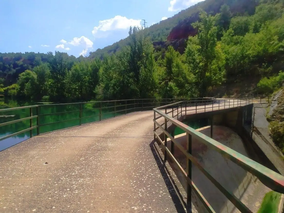
Presa de la Rocha or Campillo Dam (Zaorejas)
Zaorejas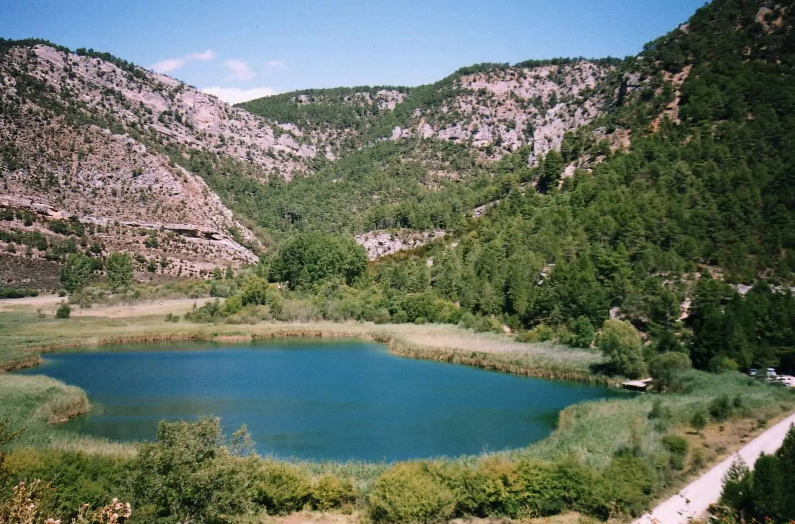
Laguna de Taravilla: an 11,000-year-old natural tufa dam
Taravilla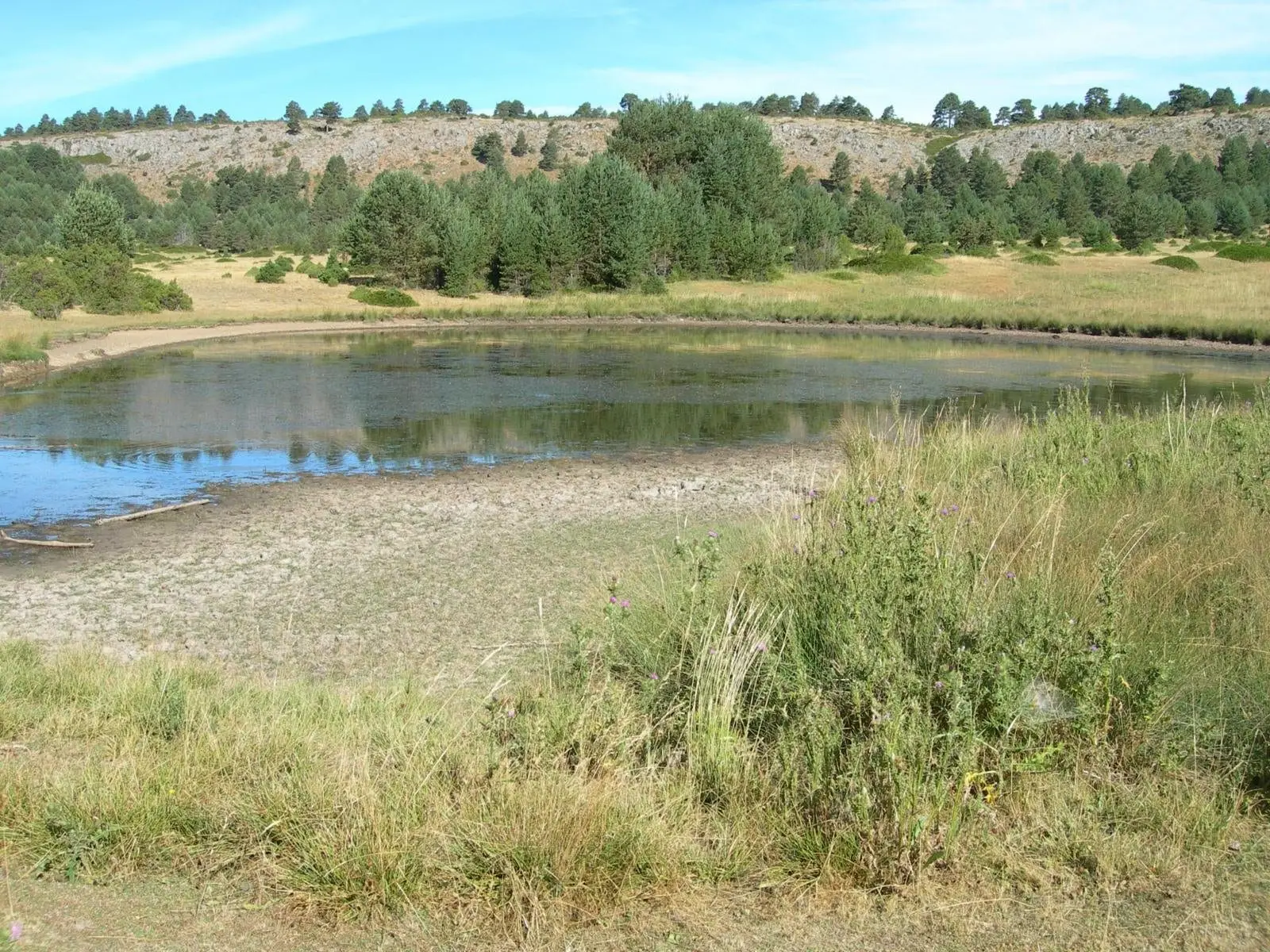
Laguna de la Salobreja (Orea): a saltwater lagoon in the mountains
Orea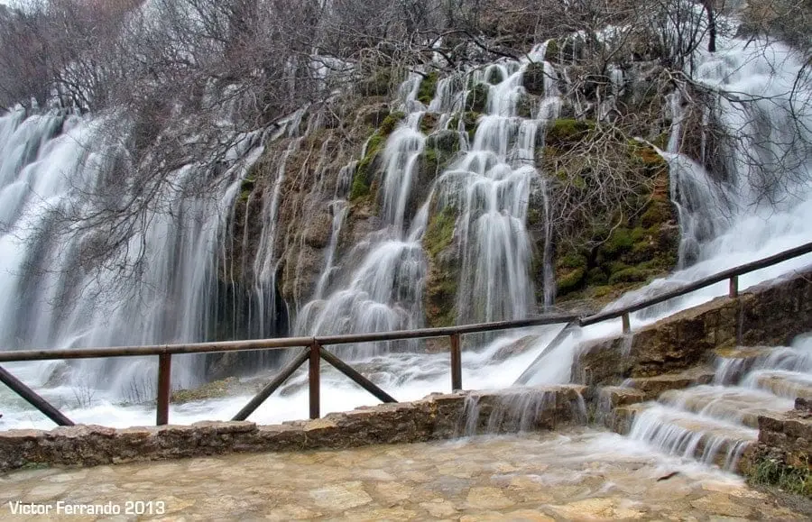
Nacimiento del Río Cuervo: tufa waterfalls in Vega del Codorno
Vega del Codorno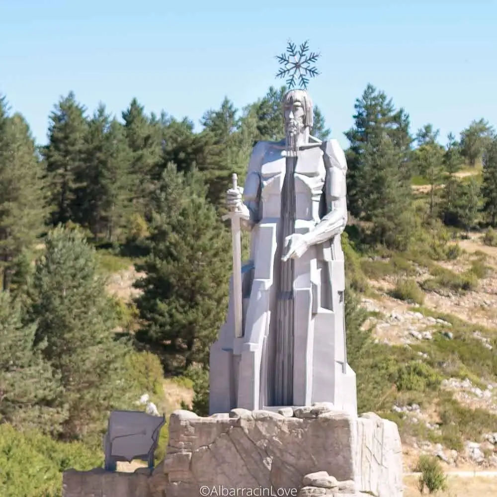
Source of the Tagus River and its monument (Montes Universales)
Frías de Albarracín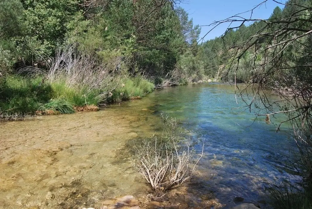
Las Juntas of the Tagus and Hoz Seca: where the Tajillo becomes the Tagus
Checa, Peralejos de las Truchas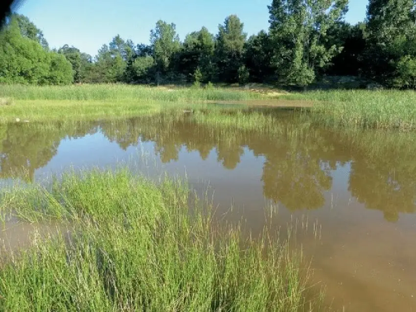
Tordesilos lagoon: birds on the eastern boundary
Tordesilos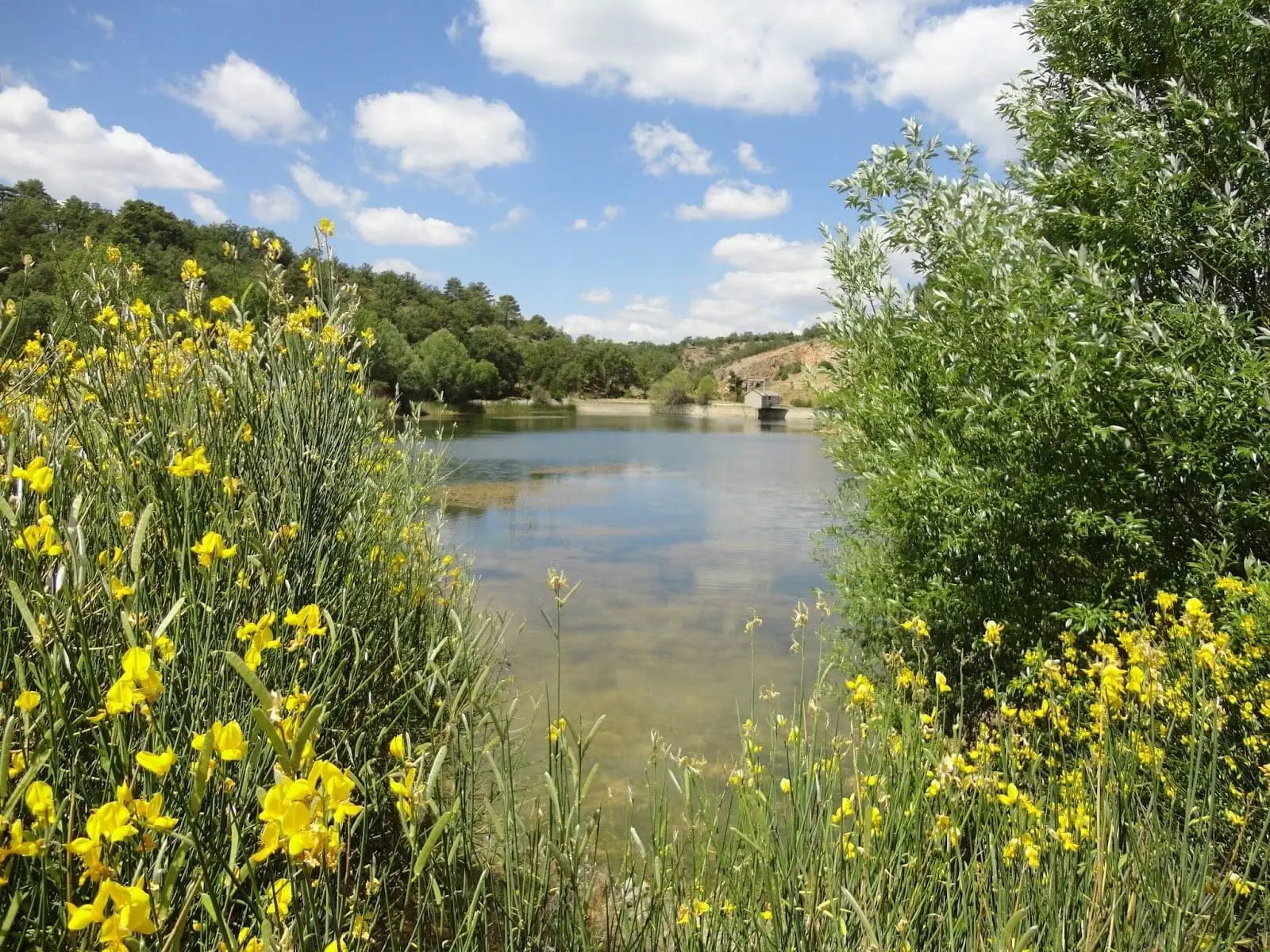
Pozo del Soto (Villanueva de Alcorón): a mine that became a lake
Villanueva de Alcorón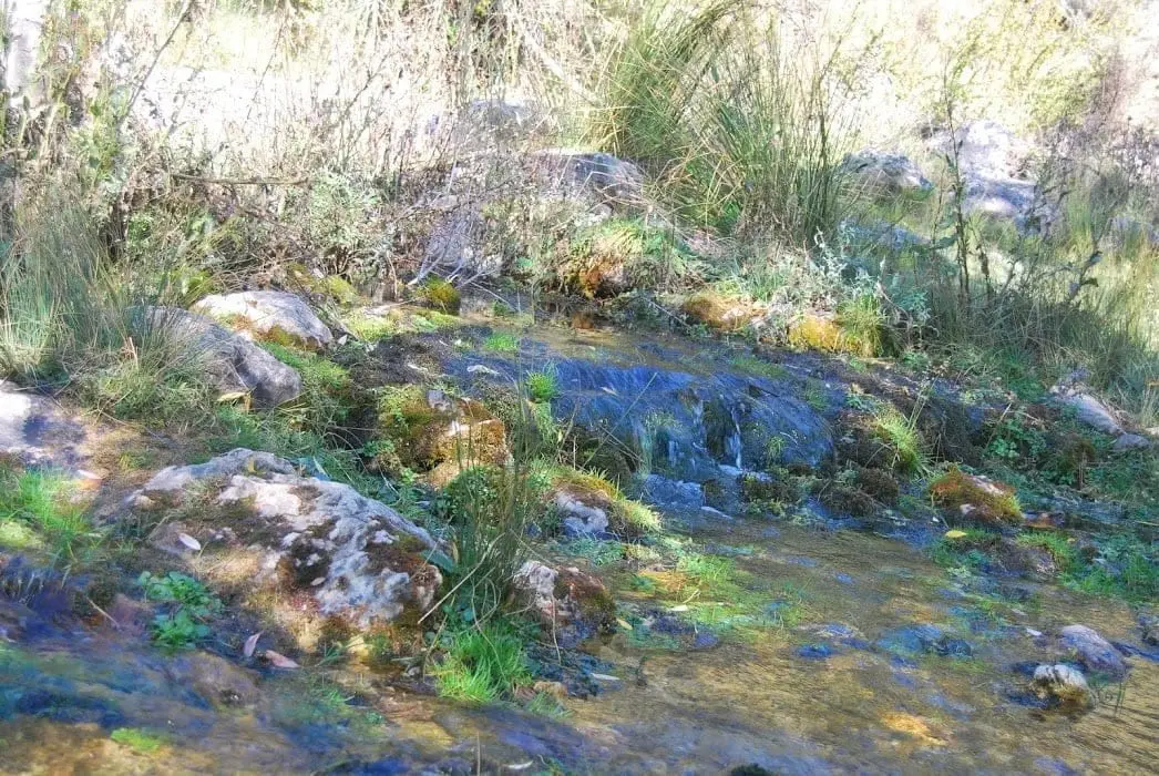
Source of the Guadiela River (Cueva del Hierro)
Cueva del Hierro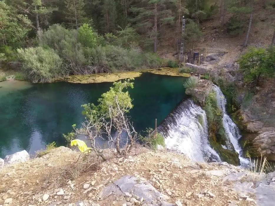
Hoz Seca or Oceseca River: the cold heart of the Park
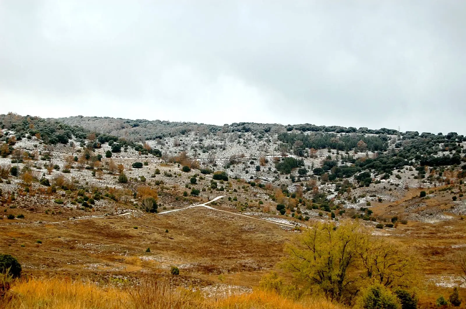
Tajuña Valley in Torrecuadrada: Protected Karstic Canyons
Torrecuadradilla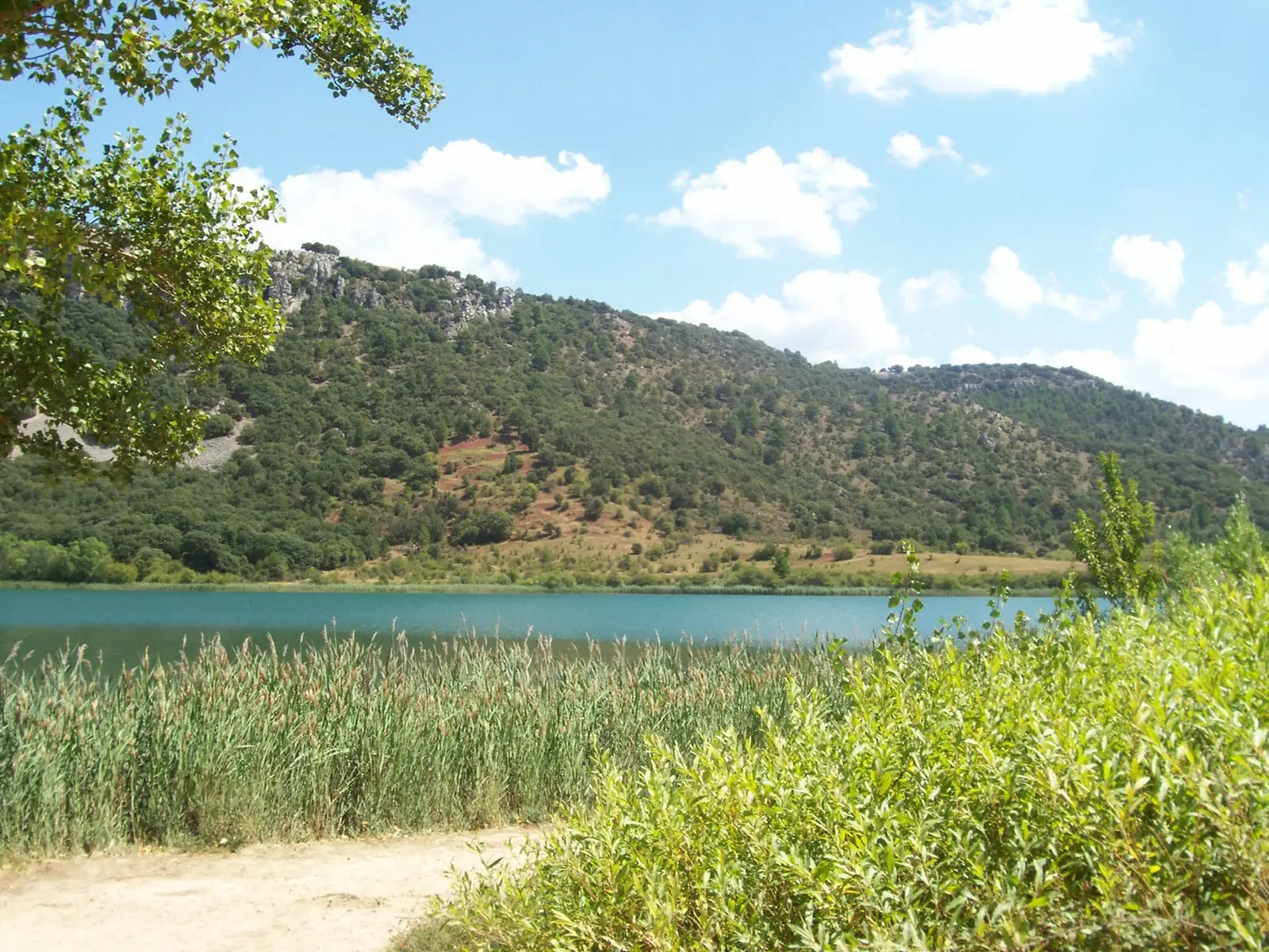
Laguna Grande de El Tobar (Beteta): a lake with saltwater at the bottom
BetetaLagoons of La Yunta: cranes and steppe birds near Gallocanta
La YuntaLagoons of Tortuera: the wetland trail of the high plateau
TortueraPozo Galeano (Villel de Mesa): gorge and waterfall of the Mesa River
Villel de MesaTajuña gorges: 11 km of river between Anguita and Luzón
AnguitaLagunas y parameras del Señorío de Molina: Natura 2000 wetland plains
TortueraFrequently asked questions
Why do Alto Tajo’s rivers flow in summer?
Karst acts like an enormous sponge: rain infiltrates limestone and emerges gradually all year through springs.