Water source · Checa, Peralejos de las Truchas
Las Juntas of the Tagus and Hoz Seca: where the Tajillo becomes the Tagus
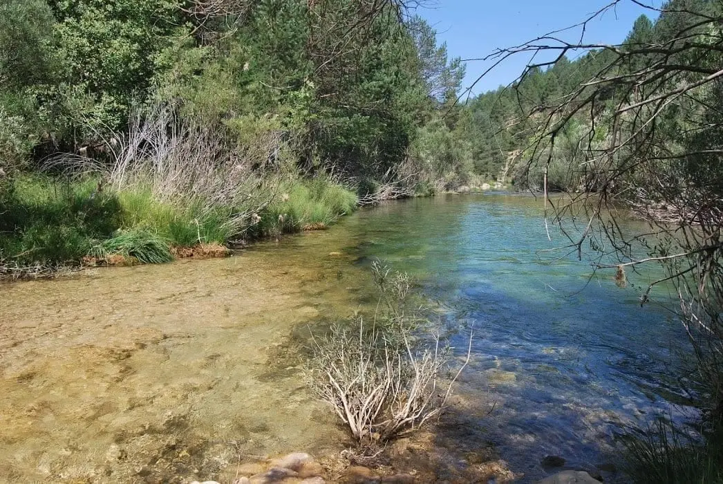
Las Juntas is the spot where the Hoz Seca River, after 32 km, empties its cold waters into a still-small Tagus, locally known as Tajillo. One of the best-preserved corners of the Park, between Checa, Peralejos de las Truchas, and Masegosa, surrounded by gorges. As the saying goes: «The Tagus takes the fame, but the Hoz Seca brings the water».
Rivers and basins
The thread of water from Las Juntas of the Tagus and Hoz Seca: where the Tajillo becomes the Tagus
Follow these watercourses towards their confluences, villages, and basin history.
Lands and landscapes
From here, follow the memory of the territory
These readings connect Las Juntas of the Tagus and Hoz Seca: where the Tajillo becomes the Tagus with the history, work, and villages around it.
- Municipality
- Checa
- Province
- Guadalajara
- Altitude
- 1,251 m
- Confluence
- Tajillo
- Very well preserved
- Local saying
The Hoz Seca brings the water
Up to this point, the Tagus is a modest stream known locally as the Tajillo. The Hoz Seca, by contrast, arrives strong and flowing after a 32-km journey from Teruel. Hence the local saying: «The Tagus takes the fame, but the Hoz Seca brings the water».
An untouched spot
Enclosed by gorges and far from any road, between Checa, Peralejos, and Masegosa, this is one of the best-preserved corners of the entire Park. You can look down on it from the Mirador del Rasón or hike to it on the trail along the Juntas del Hoz Seca.
Location
● Reference point · ● Villages · ● Places
Location diagram. Detailed map with tracks and names loads on zoom.
Reference villages: Masegosa · Peralejos de las Truchas · Chequilla · Checa.
Open the full map and historical layers →