Alto Tajo and headwaters · memory of the water
Hoz Seca and Río del Puerto: the river that hides underground
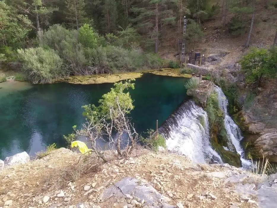
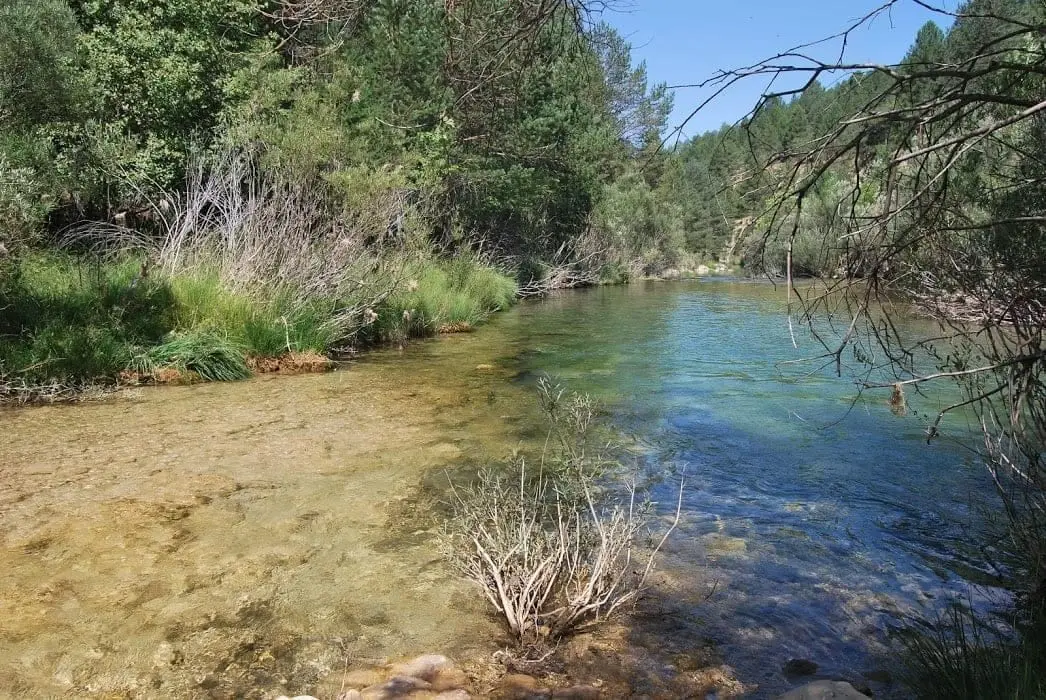
Rising as the Río del Puerto in the Sierra de Albarracín, disappearing into sinkholes and through Cueva del Tornero, joining the Tagus at Las Juntas.
Also known as: Oceseca, Hoceseca, río del Puerto.
- Headwaters
- Fuente del Canto, in Bronchales, Sierra de Albarracín.
- downstream
- Tagus, at Las Juntas.
Fed by this network
The Hoz Seca carries multiple historical names: Río del Puerto in its headwaters, and Hoceseca, Oceseca, or Hoz Seca further downstream. Atlas records place its source at Fuente del Canto in Bronchales, measuring 32 kilometres to Las Juntas; a 2001 speleological study in Aguaspeña places its origin at Puerto de Nogueras in Teruel on Ordovician quartzites, calculating some 25 kilometres.
The name has centuries of history. In the 1404–1407 boundary dispute between Molina and Albarracín over the Sierra Molina border, the Losa del Estrecho del Puerto already appears above Hoce Seca, described as a canyon that runs without surface water.
This is no figure of speech. Speleological surveys document two impenetrable sinkholes directly in the riverbed, 6 and 6.4 kilometres upstream from Cueva del Tornero, where the entire flow disappears underground. Cueva del Tornero is the largest cave in the region, with over eleven kilometres of surveyed passages and a mouth some 30 metres above the dry canyon bed. Cave surveys confirmed connections between Cueva del Tornero, Cueva del Agua, and the Cubillo sinkhole.
Its chief tributary from the left is the Rambla de las Sarguillas, carrying intermittent storm flows. The Hoz Seca finally reaches Las Juntas, nestled between Checa, Peralejos de las Truchas, and Masegosa, pouring cold waters into the still small Tagus.
Memory we can follow
1354 – 1407 and the memory of the landscape
A place name from 1404
The 1404 boundary lawsuit between Molina and Albarracín traces the frontier from landmark to landmark, including the Losa del Estrecho del Puerto above Hoce Seca.
Read the story →Middle Ages – 1960s
The riverside ironworks
In Peralejos, beside the Hoz Seca, stand the ruins of the Morencos ironworks, an 18th-century structure whose bellows and trip hammer were driven by river power.
Read the story →1940 – 1975
The pastoral highland year
The villagers of Orea, whose municipality spans the Hoz Seca headwaters, recall a communal calendar where pastures were enclosed with thorn scrub in May and the commons opened strictly in unison.
Read the story →Villages to read this basin from
These are gateways to its headwaters, valleys, and memory. The selection gathers regional villages; it does not imply the entire municipality drains into this river.
Traces of the river and its basin
Lands united by water
Sources of this reading
- Rehalda 3 (2006): toponimia menor del patil de sierra, pleito de 1404-1407
- JCCM: Parque Natural del Alto Tajo
- Pura Sierra: estudio geográfico de la Hoz Seca y sus topónimos
- Aguaspeña 8: hidrografía de Checa
Linked memory stories include their own cited sources. Fluvial connections refer to this specific stream; names like Salado and Tajuelo also recur in other basins.