Downstream continuity · memory of the water
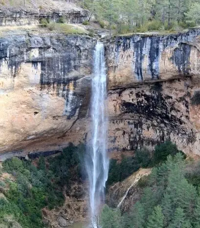
Escabas: Cuenca pine forests within the Tagus basin
Rising at 1,500 metres near the sources of the Cuervo and Júcar, flowing 60 km across the Serranía de Cuenca to the Guadiela.
- Headwaters
- Serranía de Cuenca.
- downstream
- Guadiela; thereafter, Tagus at Bolarque.
The Escabas rises in the Cañada del Mostajo at around 1,500 metres in the Sierra de Tragacete, near the headwaters of the Cuervo and Júcar.
It courses through the Serranía Alta, Campichuelo, and Alcarria for 60 kilometres to meet the Guadiela near Buendía reservoir, serving as another historic route for timber driving.
Memory we can follow
16th century – 1950s
Floating logs to the Tagus
Timber cut in the high Cuenca mountains floated down the Guadiela system to merge with the main Tagus log drives at Bolarque.
Read the story →Traces of the river and its basin
Lands united by water
Sources of this reading
Linked memory stories include their own cited sources. Fluvial connections refer to this specific stream; names like Salado and Tajuelo also recur in other basins.