Water source
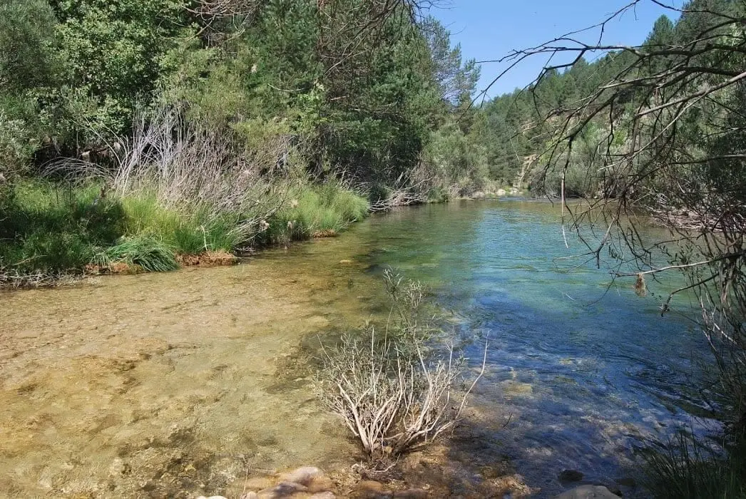
Source of the Escabas River (Serranía de Cuenca)
The Escabas River rises in the Cañada del Mostajo at about 1,500 metres altitude in the Sierra de Tragacete, near the sources of the Cuervo and Júcar. It flows through the Serranía Alta, Campichuelo, and Alcarria of Cuenca for some 60 km to join the Guadiela near the tail of the Buendía reservoir.
Rivers and basins
The thread of water from Source of the Escabas River (Serranía de Cuenca)
Follow these watercourses towards their confluences, villages, and basin history.
- Altitude
- 1,549 m
- 1,500 m
- Cañada del Mostajo
- 60 km
- Guadiela tributary
Two river sources
It is often said that the Escabas rises in the Hosquillo valley, fed by the Las Truchas stream. But its primary source lies higher up, in the Cañada del Mostajo, and only flows during exceptional periods after abundant rains.
A river of three regions
From there it flows through the Serranía Alta, the Campichuelo, and the Alcarria of Cuenca until emptying into the Guadiela, one of the major tributaries of the upper Tagus.
Location
● Reference point · ● Villages · ● Places
Location diagram. Detailed map with tracks and names loads on zoom.
Reference villages: Vega del Codorno · Masegosa · Orea · Checa.
Open the full map and historical layers →More springs, lakes and rivers nearby
View all →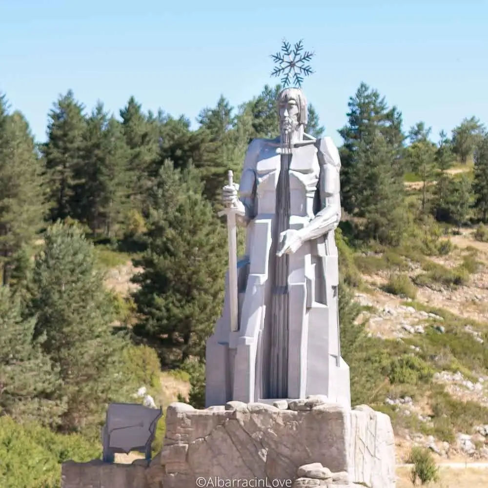
Source of the Tagus River and its monument (Montes Universales)
Frías de Albarracín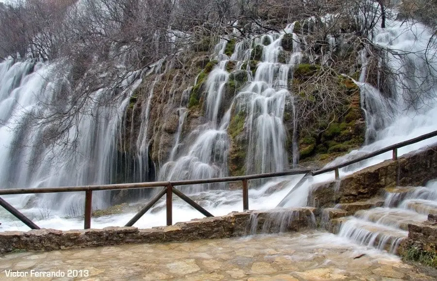
Nacimiento del Río Cuervo: tufa waterfalls in Vega del Codorno
Vega del Codorno