Alto Tajo and headwaters · memory of the water
Sarguilla: the dry rambla feeding the Hoz Seca
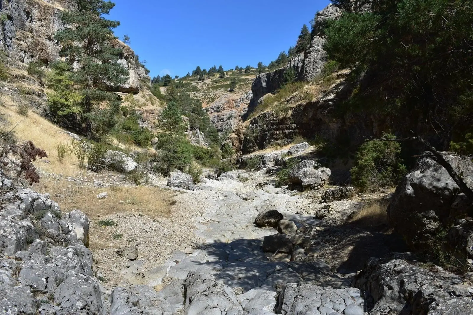
A seasonal limestone canyon devoid of riparian woodland, designated a River Nature Reserve; it feeds the Hoz Seca near Checa.
Also known as: Sarguillas.
- Headwaters
- Highlands around Checa.
- downstream
- Hoz Seca; thereafter, Tagus.
Sarguilla · rambla de las SarguillasHoz Seca · río del PuertoTajo
Rambla de las Sarguillas is the chief left-bank tributary of the Hoz Seca in the municipality of Checa. It represents a Mediterranean limestone mountain stream preserved in such natural state that it holds River Nature Reserve status.
Water has sculpted an entrenched gorge through limestone and dolomite over gravel beds. Flow is highly intermittent: much of the surface runoff rapidly infiltrates the porous karst substrate to circulate underground.
For this reason, the Sarguilla and Hoz Seca are best understood together: what looks like a dry stony wash is an active conduit of the subterranean hydrological network.
Memory we can follow
1354 – 1407 and the memory of the landscape
A precise name for every corner
Local toponyms recorded in 1404 ensured that shepherds and judges could pinpoint exact pastures across expansive mountain ranges.
Read the story →Middle Ages – 1960s
Highland shepherd shelters
In the highlands, juniper chozones sheltered livestock and shepherds against harsh mountain weather.
Read the story →Villages to read this basin from
These are gateways to its headwaters, valleys, and memory. The selection gathers regional villages; it does not imply the entire municipality drains into this river.
Traces of the river and its basin
Lands united by water
Sources of this reading
Linked memory stories include their own cited sources. Fluvial connections refer to this specific stream; names like Salado and Tajuelo also recur in other basins.