Living landscape · territorial memory
The highlands: the seasons that shaped life
Orea at 1,500 metres, Checa at 1,380: a highland world of snow, pastures closed in May with thorn barriers, and commons opened strictly in unison.
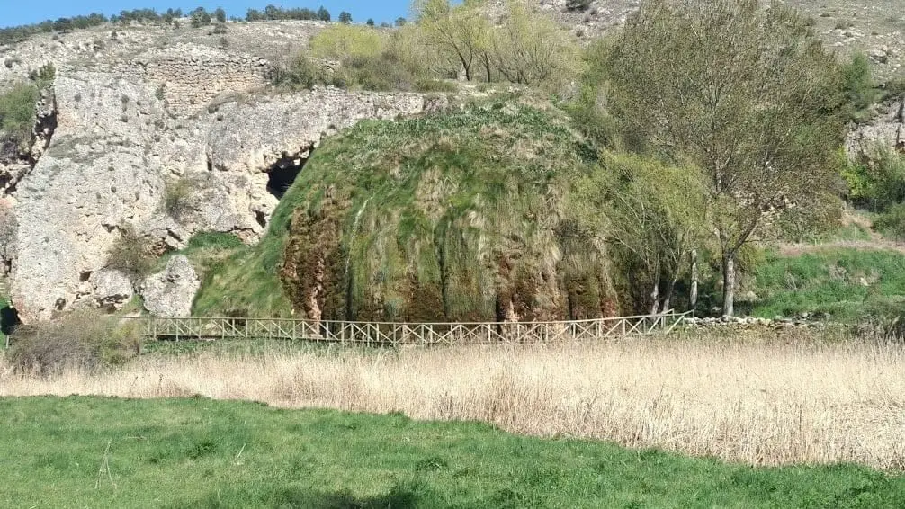
Orea is the highest village in the Alto Tajo at around 1,500 metres, recording the coolest summer temperatures in the region. Checa sits at 1,380 m, Chequilla at 1,360 m, and Megina at 1,280 m. According to studies in Aguaspeña, precipitation is abundant across the high range, heavily falling as winter snow, with an annual mean temperature around 10 °C.
Until the 1970s almost all subsistence was managed communally according to the seasonal calendar: pastures were closed with thorn barriers in May, forests were opened to grazing simultaneously for all households, bread was baked in communal ovens, and herding was performed in turns.
The highlands were also disputed ground. Between 1881 and 1901, Checa farmers were stripped of more than 2,500 hectares of Sierra Molina commons; the Supreme Court annulled that seizure in 1931, yet during the Civil War the high range lay uncultivated.
Stories to read this part of the landscape
1940 – 1975
The calendar of the households
Bread baked in village communal ovens, flocks watched in turns, and pastures fenced with thorn branches in May. Villagers from Valsalobre, Orea, and Peralejos recount this firsthand.
Read the highland calendar →Middle Ages – 1960s
Livestock and the mountain
Juniper chozones sheltered flocks and their solitary shepherds. In Checa, shepherd Isidro García tended sheep at age nine and walked a full month each winter driving herds to Andalusia.
Follow the pastoral heritage →1354 – 1407 and the memory of the landscape
Place names that guided journeys
The 1404–1407 border litigation between Molina and Albarracín documented 33 named landmarks along the Sierra Molina frontier.
Read the names of the range →Villages to follow the thread from
Every name opens its locations and memories, leading to other readings of the territory.
Traces on the ground
These places connect stories with what endures. Their guides allow you to locate them on the map and explore them in person.
The rivers that link this reading
- Tajo →
- Gallo →
- Hoz Seca · río del Puerto →
- Cabrillas →
- Huecos · rambla Malila →
- Sarguilla · rambla de las Sarguillas →
- Arroyo de Checa →
- Cuervo →