Canyon · Checa
Rambla de las Sarguillas: River Nature Reserve
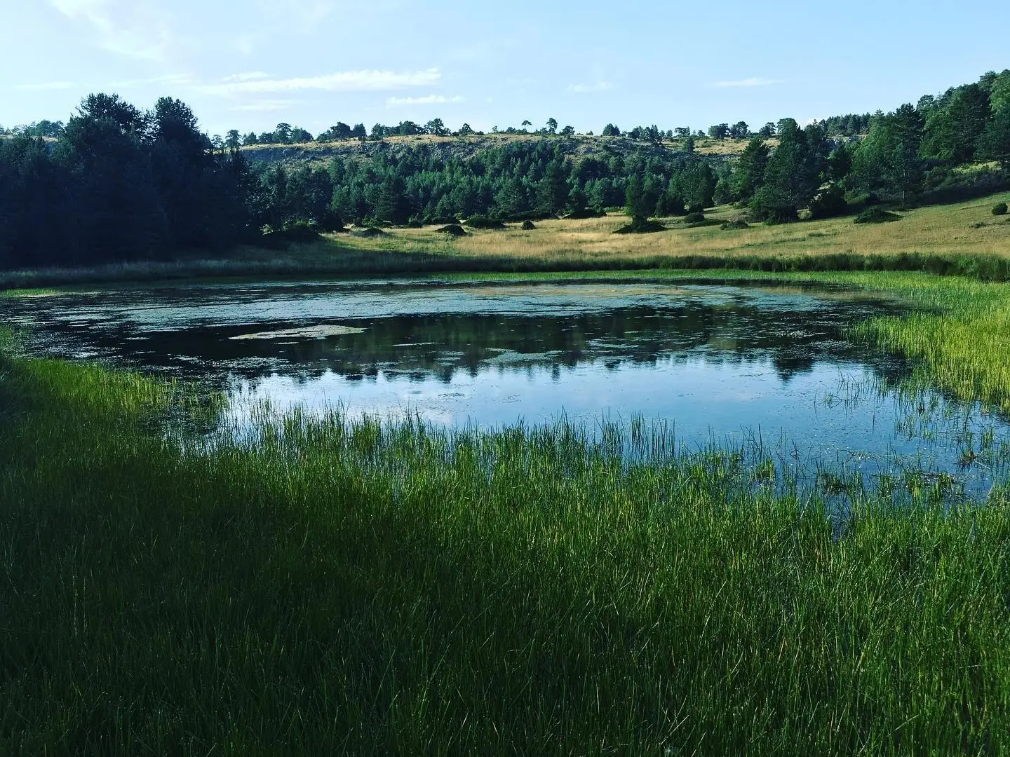
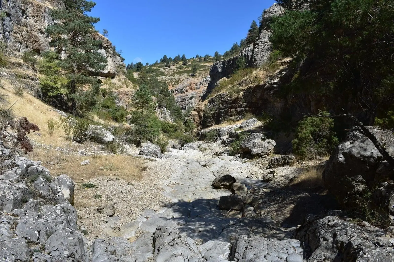
The Rambla de las Sarguillas, a tributary of the Hoz Seca in Checa, is a Mediterranean limestone mountain stream so well preserved that it has been designated a River Nature Reserve. Water has cut a confined valley in limestone, marl, and dolomite, with a gravel bed so seasonal that no gallery forest grows.
Rivers and basins
The thread of water from Rambla de las Sarguillas: River Nature Reserve
Follow these watercourses towards their confluences, villages, and basin history.
Lands and landscapes
From here, follow the memory of the territory
These readings connect Rambla de las Sarguillas: River Nature Reserve with the history, work, and villages around it.
- Municipality
- Checa
- Province
- Guadalajara
- Altitude
- 1,495 m
- River Nature Reserve
- Hoz Seca tributary
- Near-pristine
- Visit with care
A textbook mountain stream
Few watercourses illustrate so clearly the sections of a Mediterranean limestone mountain stream. For that reason, and for its remarkable state of conservation, it has been declared an official River Nature Reserve.
The landscape
Water has carved a confined valley into limestone, marl, and dolomite that only widens at the very end into a narrow plain with hay meadows. The stream bed consists of gravel and rounded cobbles, and because it runs dry for much of the year, true gallery woodland cannot take root: the banks are occupied by mountain scrub and pine forest.
Visit with care: avoid disturbing the gravel bed and stay on established tracks.
Location
● Reference point · ● Villages · ● Places
Location diagram. Detailed map with tracks and names loads on zoom.
Reference villages: Orea · Checa · Vega del Codorno · Chequilla.
Open the full map and historical layers →