Village · Guadalajara · 1,378 m
Checa
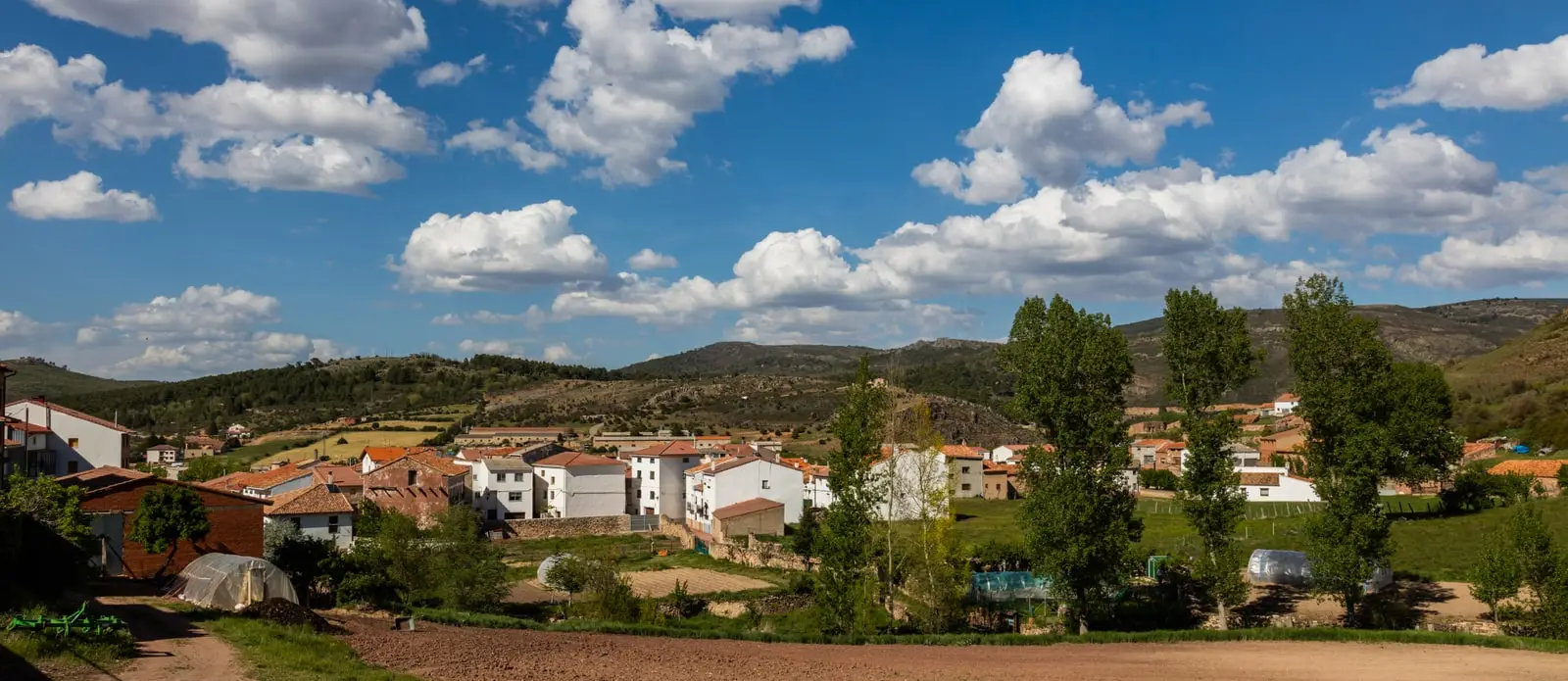
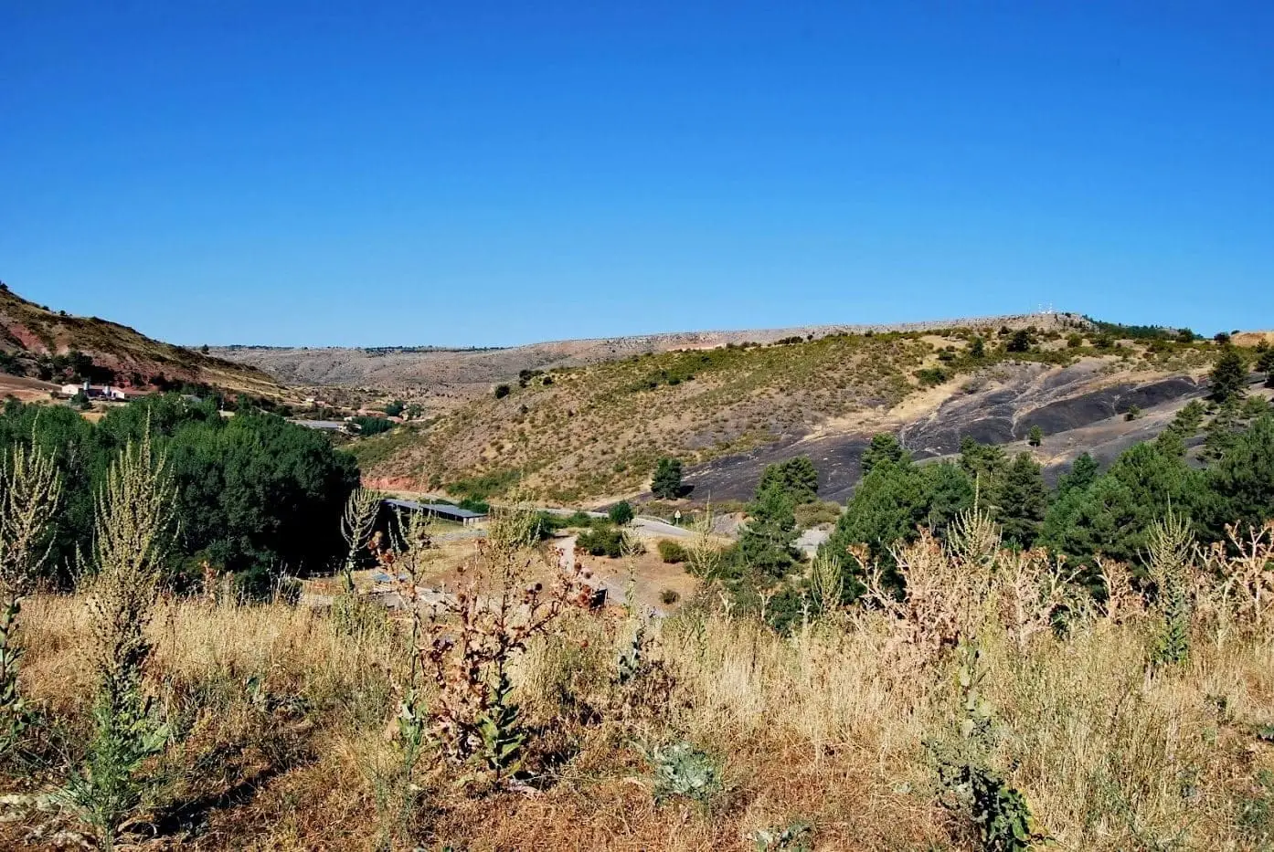
Checa is a mountain village in the Alto Tajo, around 1,380 metres above sea level, overlooking the Cabrillas river valley. It has one of the Park’s loveliest townscapes, with large traditional houses and bridges over the river crossing it. Nearby are La Aguaspeña’s living tufa, Castil-Griegos Celtiberian hillfort and graptolite fossils hundreds of millions of years old.
Rivers and basins
The thread of water from Checa
Follow these watercourses towards their confluences, villages, and basin history.
Lands and landscapes
From here, follow the memory of the territory
These readings connect Checa with the history, work, and villages around it.
Traces in the village and its surroundings
Which eras you can read here
A single place can preserve traces from different eras. These layers connect what you see with the stories in the atlas.
1936–1939 · memory of the territory
The war in the village memory
In Checa, Antonio Martínez Mansilla recalled that Sierra Molina went uncultivated during the war. Afterwards, people worked the land again. The old farmers’ memories also tell of that interruption and the return to their tasks.
Source: Aguaspeña 20, pp. 10–11.
Read the story of the river frontline →A village of stone and water
Checa overlooks the valley of the Cabrillas from on high and is divided in two by a mountain stream that forms small waterfalls and pools among the houses. Its stone mansions and bridges form one of the best-preserved historic quarters in the Alto Tajo. It is also a livestock community, and its Traditional Livestock Museum explains this heritage and serves as a visitor information point.
Around Checa
- La Aguaspeña, an active tufa waterfall just 2 km away along a paved lane.
- Castro de Castil-Griegos, a Celtiberian settlement near La Aguaspeña.
- Notable geology: the dropstone of Checa, dropped by floating ice into an ancient ocean, and the graptolite bed, preserving marine colonial fossils.
- Las Juntas del Tajo con el Hoz Seca and the polje del Cubillo, two karst landscapes.
- The Altos de la Campana, in the mountains.
More hillforts
Besides Castil-Griegos, the valley of El Cubillo contains the castro de Los Castillarejos, dating from the 2nd century BC. Neither is currently prepared for visitor access.
Routes
From Checa depart Georuta 8 to Chequilla, Sendero 16 (PR-GU 22), la Espineda, the short Sendero 19, Collado del Aire, and Ruta BTT 4, La Sierra.
Organizing your visit
Combine the village centre with La Aguaspeña, adding Chequilla if you have a full day. These are suggested itineraries, not fixed schedules.
Before travelling
Distinguish the village walk from geological sites across the wider municipality. Do not assume the hillforts are prepared for tourism; confirm museum opening hours.
Combining visits
Continue with Chequilla. Consult its guide to decide whether to include it in the same outing.
Memory in names
The pages of Aguaspeña preserve memories of Checa: childhood with the herd, women’s work, and local research. You can follow them in The war that entered the houses and Those who also told the village’s story.
A vocabulary published in Aguaspeña 5 (1998) records a specific use of asphodel (gamón): its boiled leaves were fed to pigs. It also preserves words like balea, a broom made of guilloma twigs to sweep the threshing floor. Everyday plant uses are explained in Plants of everyday life.
Places in and around Checa
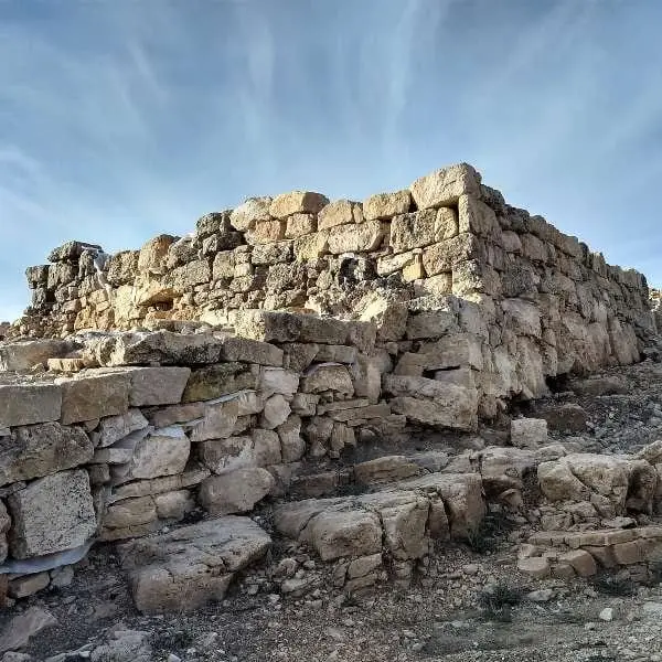
Castro de Castil-Griegos (Checa): Iron Age beside the Aguaspeña
Checa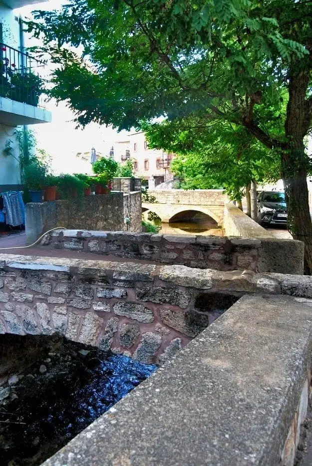
Urban ensemble of Checa: white houses, bridges, and the Genitoris River
Checa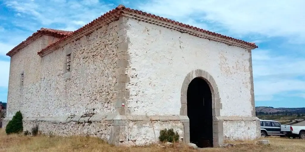
Hermitage of San Lorenzo (Checa): pilgrimage into Sierra Molina
Checa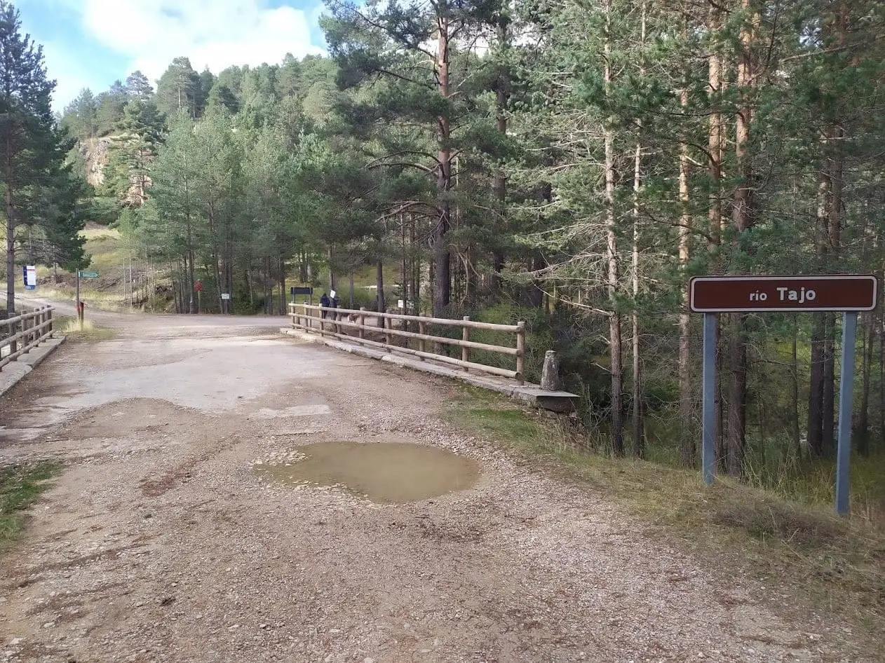
Puente de las Tres Provincias (Valdeminguete): where the Alto Tajo begins
Checa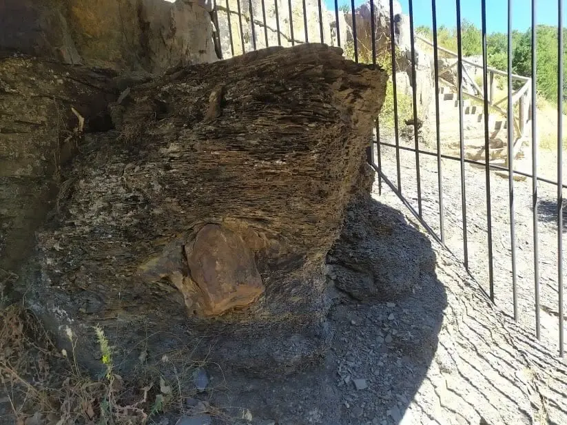
Checa Dropstone: a boulder dropped from an iceberg 440 million years ago
Checa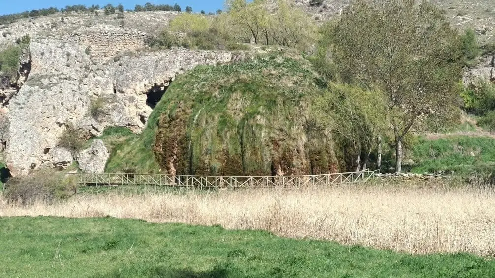
The Aguaspeña of Checa: a living rock growing 4 cm a year
Checa
Las Juntas of the Tagus and Hoz Seca: where the Tajillo becomes the Tagus
Checa, Peralejos de las Truchas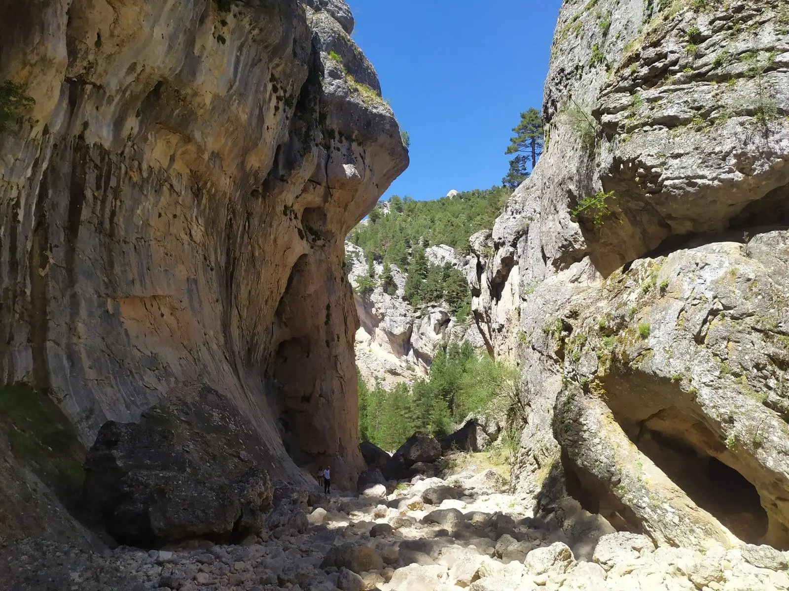
Rambla Malilla (Checa): the gorge running down to the Tajillo
Checa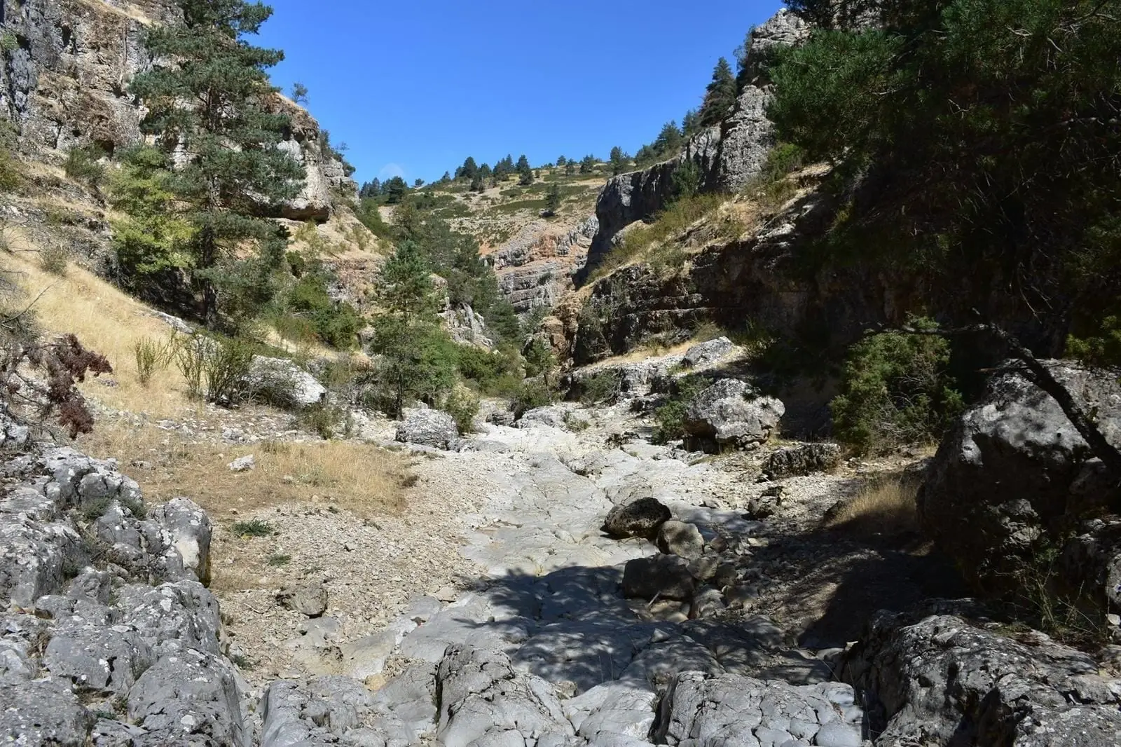
Rambla de las Sarguillas: River Nature Reserve
Checa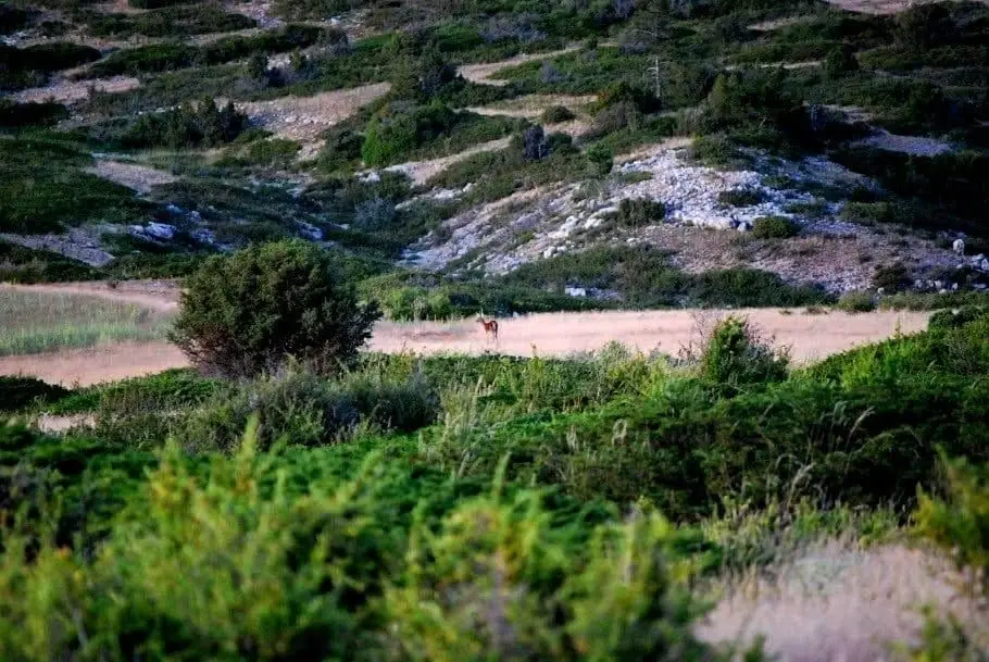
Sierra Molina: Ancient Dehesa of Transhumance
Checa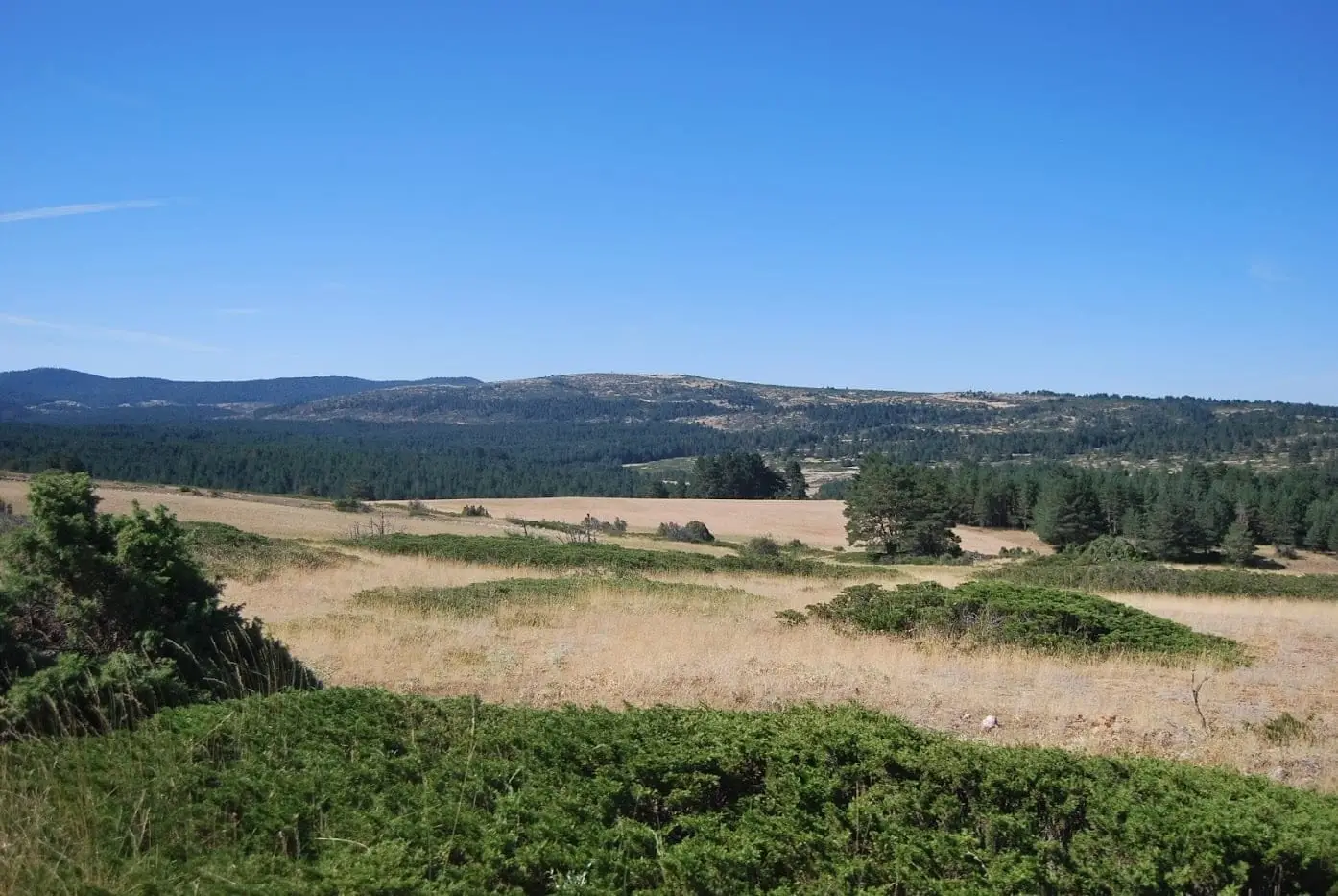
Altos de la Campana (Checa): between the Tagus and Hoz Seca
Checa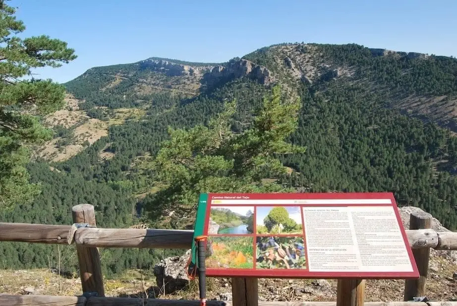
Mirador de la Cuesta del Acebar: the Hoz Seca canyon
Checa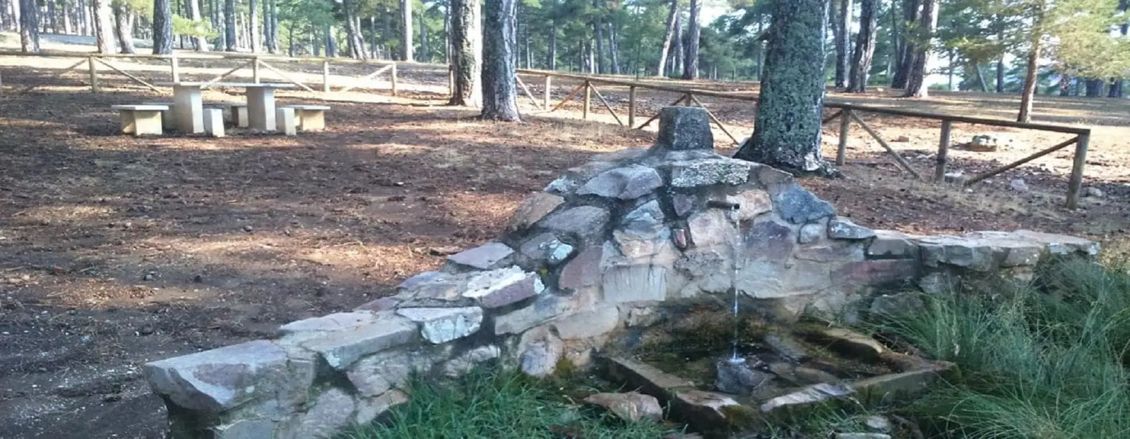
Prado de la Becea recreation area (Checa)
Checa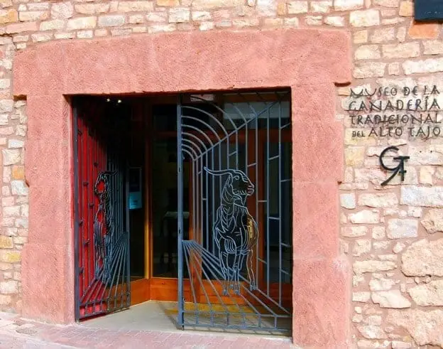
Museum of Traditional Pastoral Life of the Alto Tajo (Checa)
Checa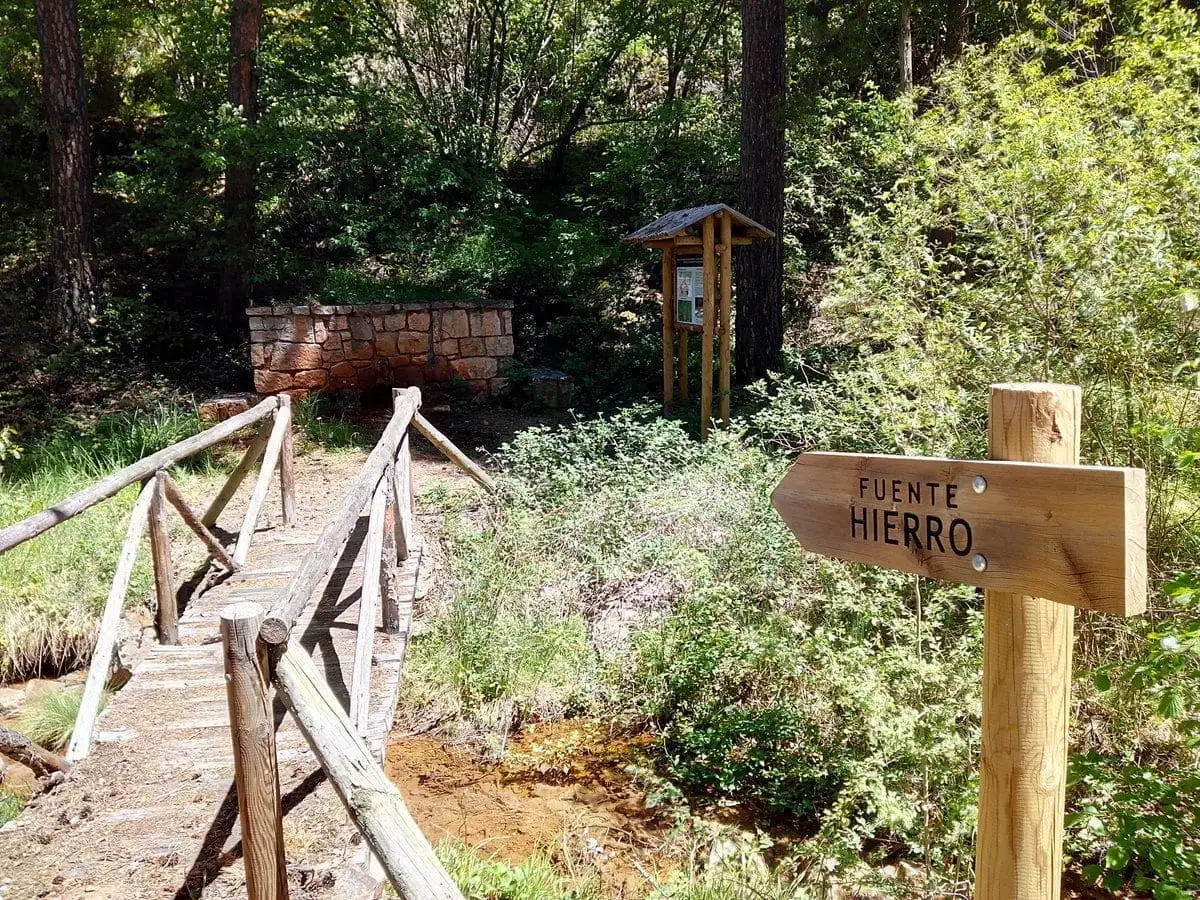
Fuente de los Vaqueros recreation area (Checa)
ChecaCheca Graptolites: Fossils That Look Like Writing
ChecaPoljé del Cubillo (Checa): a closed karst valley
ChecaCueva del Tornero (Checa): the great subterranean cavity of central Spain
ChecaLa Tejera experimental area (Checa): the ten rocks of the Park
ChecaCastro de Los Castillarejos (Checa): rock-cut ditch and cyclopean tower
ChecaVariscan folds between Checa and Orea: the oldest rock wrinkles
ChecaRoutes linked to Checa
Geotrail 8: from Checa to Chequilla
16 km · 4 h · Linear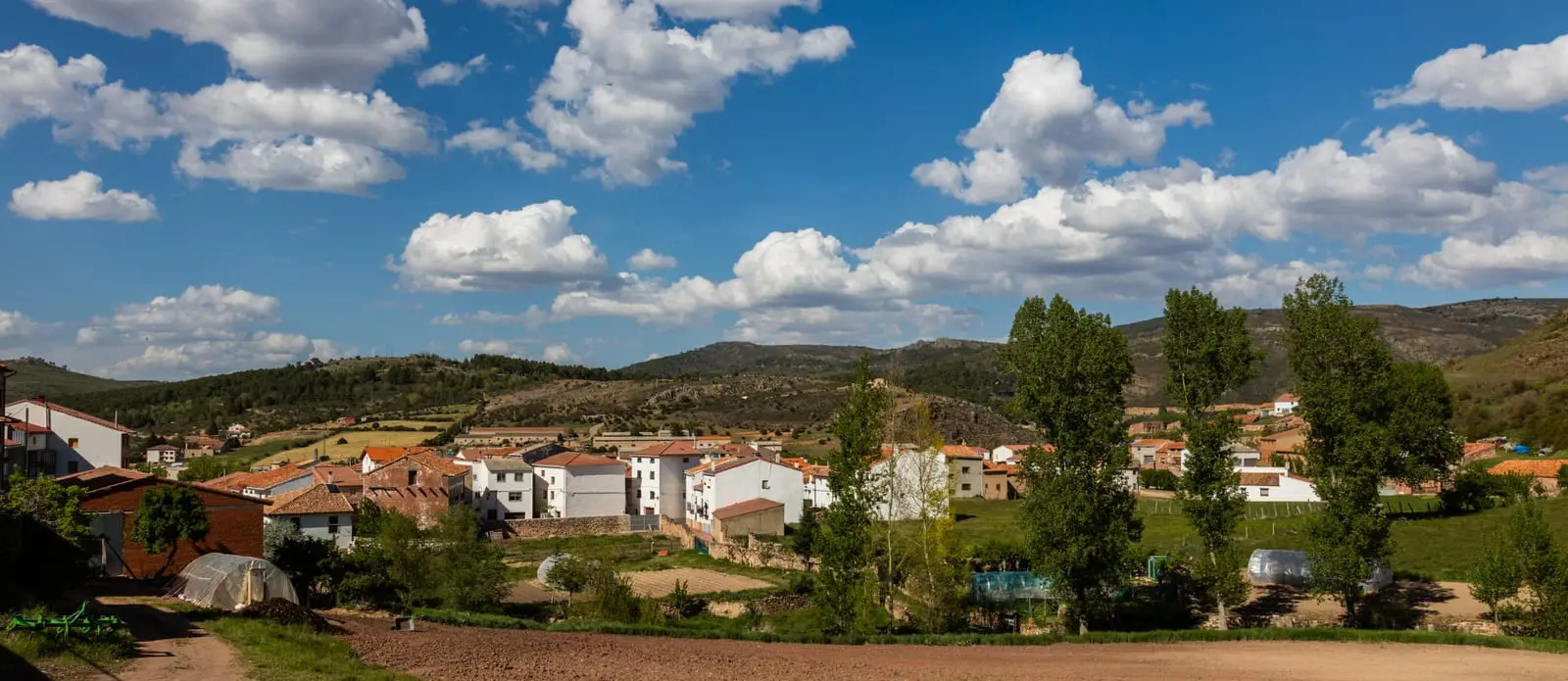
MTB route 4: La Sierra, via Checa, Orea, and Alcoroches
68 km · 8 h · CircularTrail 16 (PR-GU 22): La Espineda and Peña Alta (Checa)
5.7 km · 2.9 h · CircularTrail 19: Collado del Aire via La Campana (Checa)
3.1 km · 1 h · LinearPopulation of Checa, 1842–2021
Checa reached a peak of 1,811 inhabitants in 1887 . In the 2021 census there were 286 , a decrease of 84%. This is the history told in the emptying of the Alto Tajo.
Climate in Checa month by month
2015–2024 averages from Copernicus ERA5 reanalysis for an altitude of approx. 1,378 m. Useful for planning, not a substitute for live forecasts.
Frequently asked questions
What should you not miss in Checa?
A walk through the village along the Cabrillas river, La Aguaspeña waterfall, and the Traditional Livestock Museum, which also serves as an information point.
Is it cold in Checa?
Yes: due to its elevation it is among the coldest villages in the Alto Tajo, with frequent frosts from November to April. Consult the monthly climate table on this page.
Location
● Reference point · ● Villages · ● Places
Location diagram. Detailed map with tracks and names loads on zoom.
Reference villages: Chequilla · Alcoroches · Orea · Peralejos de las Truchas.
Open the full map and historical layers →