Alto Tajo and headwaters · memory of the water
Arroyo de la Vega: Saelices within the Salado basin
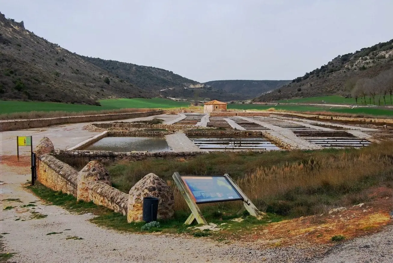
The Arroyo de la Vega de Saelices brings water to the historic salt village: the San Juan salt pans, documented since 1203.
Also known as: arroyo de Saelices.
- Headwaters
- Surroundings of Saelices de la Sal.
- downstream
- Linares or Salado; thereafter, Ablanquejo and Tagus.
Natural Park statutory documents describe the Salado basin including the Arroyo de Saelices, also known as Arroyo de la Vega, which carries water through Saelices de la Sal.
Its San Juan salt works date back to 1203, featuring standing 18th-century royal structures including stone brine wells, animal-powered norias, evaporation beds, and a storehouse.
In 1938, during the Republican offensive known as the Forgotten Battle, front lines shifted through Saelices de la Sal, leaving behind a triangular concrete bunker.
Memory we can follow
12th – 20th centuries
The craft of salt harvesting
At Saelices de la Sal and Armallá, stone facilities demonstrate traditional solar evaporation methods for harvesting salt far inland.
Read the story →1936 – 1939 and the postwar years
The forgotten offensive of 1938
The spring 1938 Republican offensive across Guadalajara swept through Esplegares and Saelices de la Sal before bogging down in freezing rain.
Read the story →Villages to read this basin from
These are gateways to its headwaters, valleys, and memory. The selection gathers regional villages; it does not imply the entire municipality drains into this river.
Traces of the river and its basin
Lands united by water
Sources of this reading
Linked memory stories include their own cited sources. Fluvial connections refer to this specific stream; names like Salado and Tajuelo also recur in other basins.