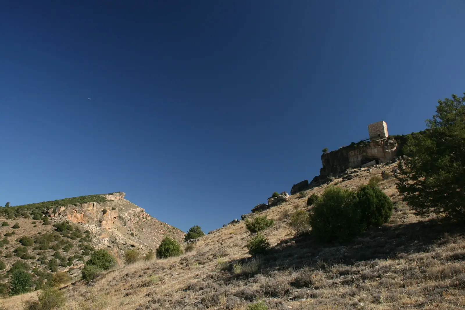
Heritage · Saelices de la Sal
San Juan Salt Pans (Saelices de la Sal)
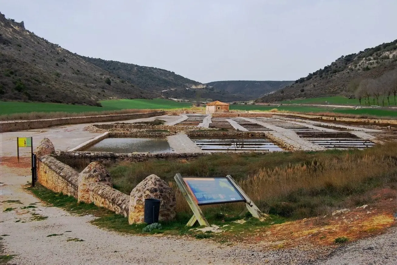
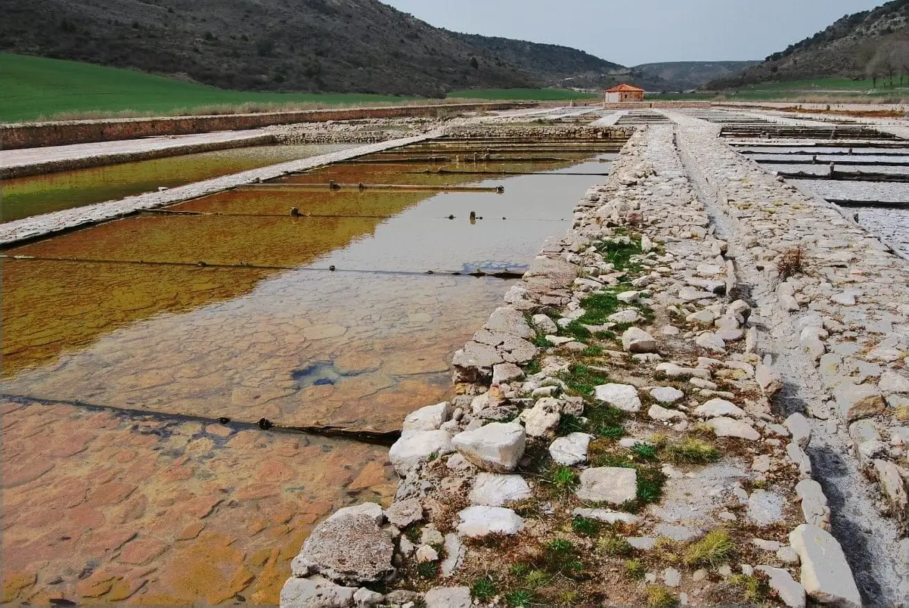
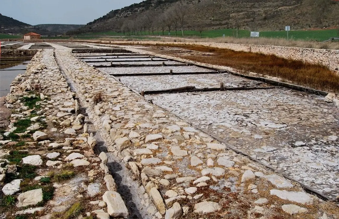
The San Juan salt pans, in Saelices de la Sal, are a salt-making complex featuring wells, waterwheels, boiling pans, evaporation ponds, a warehouse (alfolí), and a chapel. They exploit a layer of clay rich in salts and gypsum that salinises spring water. Extraction has been documented since 1203, though visible structures date from the 18th century, when they passed to Royal Property.
Rivers and basins
The thread of water from San Juan Salt Pans (Saelices de la Sal)
Follow these watercourses towards their confluences, villages, and basin history.
Lands and landscapes
From here, follow the memory of the territory
These readings connect San Juan Salt Pans (Saelices de la Sal) with the history, work, and villages around it.
This place across time
Which eras you can read here
A single place can preserve traces from different eras. These layers connect what you see with the stories in the atlas.
- Municipality
- Saelices de la Sal
- Province
- Guadalajara
- Altitude
- 991 m
- Since 1203
- 18th century
- Wells and waterwheels
- Guided visits
Where the salt comes from
Beneath the ground lies a layer of clay rich in salts and gypsum. Circulating water becomes saline and surfaces in brackish springs. Simply letting it evaporate yields salt. The very name of Saelices de la Sal says it all.
A complete complex
There are wells, waterwheels, boiling pans, evaporation pools, an alfolí or warehouse, and a chapel. The first records date from 1203, but the visible installations were built in the 18th century, when the salt works became part of the Royal Patrimony.
There are guided tours of the Saelices salt pans.
Photo: El Observario
Location
● Reference point · ● Villages · ● Places
Location diagram. Detailed map with tracks and names loads on zoom.
Reference villages: Saelices de la Sal · Riba de Saelices · Esplegares · Ablanque.
Open the full map and historical layers →More heritage: chapels, bridges and saltworks nearby
View all →Saelices de la Sal Pillbox: memory of the Spanish Civil War
Saelices de la SalValdeherreros-La Azafuera (Riba de Saelices): from Celtiberian village to Roman vicus
Riba de SaelicesRiba de Saelices watchtower: the Berber tower above Los Casares cave
Riba de SaelicesNearby routes
All routes →
Geotrail 2: Valle de los Milagros – Saelices de la Sal
12 km · 4 h · Linear