Episode · 1936 – 1939 and the postwar years · The frontline on the river
The river front: the Civil War in Alto Tajo
Between 1936 and 1939 the Tagus canyon was a war front. After Molina was occupied in August 1936, insurgent and Republican forces watched each other for almost three years from river spurs, contesting Puente de San Pedro. Trenches and machine-gun posts survive at Alpetea and Zaorejas, a concrete bunker at Saelices de la Sal, and memories of untapped pine woods and uncultivated fields.
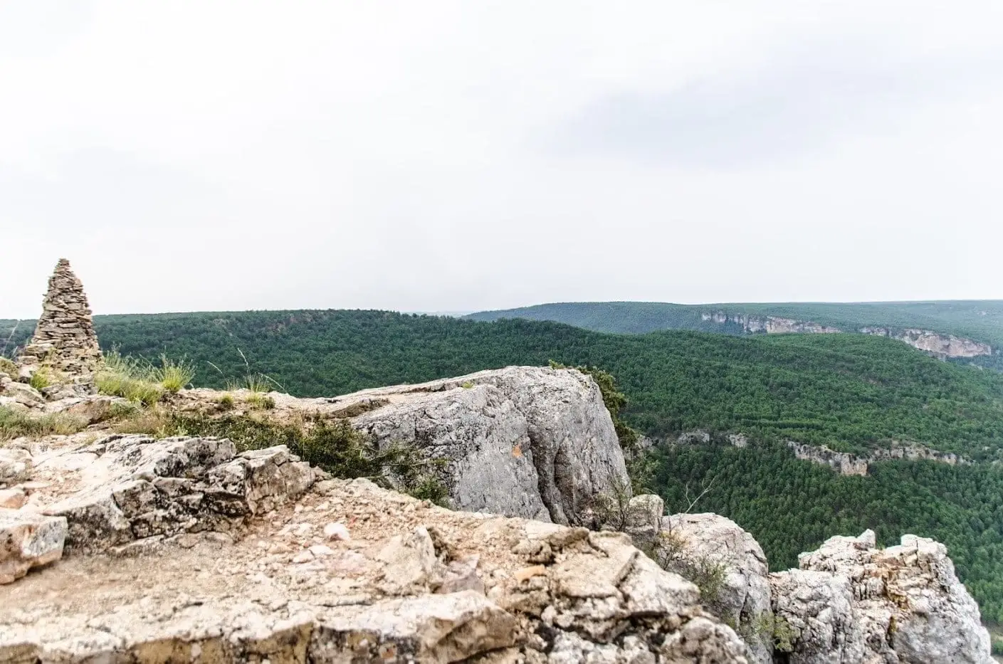
Photo: El Observario
A river becomes a frontier
In 1936 the canyon carrying timber drives became a firing line. Logs were still on the river that summer: the great drive caught by the war took months to reach Aranjuez. By then the Tagus was a front, remaining so until spring 1939.
The first weeks were confused. In July Republican columns from Guadalajara occupied Alcolea del Pinar, Sigüenza and Molina de Aragón. In early August an insurgent column of regulares and requetés under Colonel Martínez Zaldívar retook Alcolea and Molina. The front then settled into the terrain. Hundred-metre cliffs and impassable ravines did work that elsewhere required kilometres of wire.
Defending a canyon
Colectivo Guadarrama’s 2006 survey, recorded by Pablo Schnell in Guadalajara en guerra, explains the contrast with other sectors. Where armies could enter, such as the Aragón road, bunkers covered each other with crossfire. Alto Tajo needed less: the river was a natural moat. The front consisted of lightly fortified points, with parapets and dry-stone machine-gun posts, distant but mutually visible. Schnell describes points linked by sight within an overwhelming landscape.
Republican lines had many earth-cut trenches. The same study notes that some bunkers resemble shepherds’ huts except for embrasures and thick walls. Schnell suggests local people built or adapted many. Concrete arrived late, especially on insurgent lines: widespread from autumn 1938, many structures date to 1939, when war was ending.
Puente de San Pedro and Alpetea
The canyon’s most contested crossing was Puente de San Pedro, where the Gallo joins the Tagus. In 1936 and 1937 requetés and Republicans skirmished over it, and in Villar de Cobeta’s pine woods.
Above the bridge, on Castillo de Alpetea’s spur, stands a position the Geopark guide ranks among the region’s finest military architecture. Trenches zigzag to two machine-gun posts overlooking the valley, described in the 2015 guide as exceptionally preserved. Emblems engraved in concrete identify their builders. Today’s magnificent canyon view was then a military advantage. Opposite, within the same municipality, lay another fortified position, Peña Bermeja.
Zaorejas and the canyon spurs
Upstream in Zaorejas survives Puntal del Estiércol’s trench complex, grouped by the guide with Alpetea and Peña Bermeja. Further south above the Cabrillas–Tagus confluence, walkers climbing Ceja de la Cueva del Febrero or Puntal de Matasnos, 1,311 metres, pass trench remains facing the river. Cueva del Febrero viewpoint occupies the same ridge.
War left an invisible absence in Zaorejas. Pedro José Pradillo records the loss of municipal and parish archives during the conflict: centuries of papers about villagers. He also mentions a small defensive cave called “antitanque”.
Airfields on the plateaux
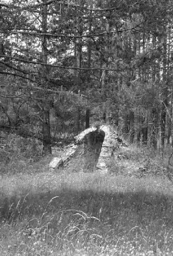
Republican aviation dispersed aircraft among small landing grounds to protect them from bombing. Schnell located several in Guadalajara, all similar: a runway, a hut and one or more angled underground gallery shelters for personnel. One stood at Zaorejas, with a surviving photograph of a shelter entrance. The regional heritage inventory records another at Peralveche, on the Park’s western edge. Aviation added another geography to this territory of rivers and forests.
The forgotten battle, 1938
In spring 1938 the insurgent Aragón offensive threatened to split Republican territory. To relieve pressure, the War Ministry ordered Miaja to attack on the Guadalajara front, selecting Alto Tajo. Three divisions, the 5th, 6th and 14th, arrived with armoured vehicles, concentrating around Torrecuadradilla.
Schnell dates the attack to 1 April; other accounts begin on the night of 30–31 March. On 3 April two Villarejos-sector positions were taken: Puntal del Abejal and La Mocasilla. As enemy reinforcements arrived, Miaja stopped the operation: diverting troops had achieved its aim. Insurgents retook La Mocasilla on 16 April. Columns passed Esplegares, Saelices de la Sal and Ribarredonda, also seeking to cut Molina’s communications. It is now called the Forgotten Battle.
At Saelices de la Sal stands a structure the Geopark guide says was never used: a triangular concrete bunker, an embrasure at each corner and visible machine-gun tripod sockets. It controlled the Alcolea–Cifuentes road junction. Republican lines stopped around three kilometres away.
The battle also left dead in the countryside. Excavations in 2012 and 2013 at Enebrá Socarrá, Abánades, recovered thirteen combatants from both armies. In 2017 they were buried in the village cemetery after decades where they fell.
Guerrillas behind the lines
Republican guerrilla groups operated behind enemy lines in Molina, trained by international and Soviet instructors around Cifuentes, Trillo and Canredondo. Alan Herchhoren Alcolea studies them in La lucha guerrillera durante la Guerra Civil en la comarca de Molina, including Lino Muela Román’s memoir Historia de un muerto resucitado. These were wartime guerrillas; the postwar maquis came later.
Untapped pine woods, unploughed fields
In March 1937 military orders interrupted Mazarete’s resin season; mobilisation left too few workers in 1938. LURE’s conscripted resin tappers included men from Cobeta, Huertahernando, Ablanque, Luzón, Selas and Cuevas Labradas.
Antonio Martínez Mansilla recalled in Aguaspeña that Sierra Molina stopped being cultivated during the war and had to be worked again afterwards. Ration books lasted until 1952. Maquis fighters passed through, but his account says they did not establish themselves. In the Serranía de Cuenca they did; San Martín de Boniches witnesses remember country people caught between guerrillas and the Civil Guard.
Walking these spurs today means understanding that the landscape now protected for its beauty was, for almost three years, a place where people waited for gunfire: cold, hunger and silence on the same ridges from which we watch vultures.
War, with names
The front is traced through places, but war entered homes too: Isidro García Gómez’s Checa childhood, Alustante’s shops and La Previsora. The war that entered people’s homes follows those lives. Documents, archives and unanswered questions are gathered in the Civil War sources dossier.
Visiting respectfully
- Remove nothing. Cartridge cases, iron pieces and parapet stones belong to a heritage whole; taking them impoverishes everyone.
- Be careful at edges. Positions stand on cliff-top spurs; avoid edges in wind or ice.
- Bring the context. Many remains are unsigned and otherwise look like piles of stones.
From the archive

Vocabulary
- Machine-gun post
- A small stone or concrete structure with one or more firing openings, controlling a stretch of ground.
- Embrasure
- A narrow opening in a bunker wall through which weapons fired.
- Zigzag trench
- A deliberately angled ditch preventing enfilade fire or explosion fragments from travelling its entire length.
- Position
- A fortified front-line point, often a spur or hill, with its own name in military reports.
- Requeté
- A Carlist militiaman. Requetés joined the insurgent column occupying Molina in August 1936 and fought over Puente de San Pedro.
- Diversionary operation
- An attack intended to make the enemy transfer troops from another front rather than gain ground.
- Gallery shelter
- An angled tunnel excavated beside airfields to protect personnel from bombing.
Where to see it today
Castillo de Alpetea: legend and Spanish Civil War memory
Villar de Cobeta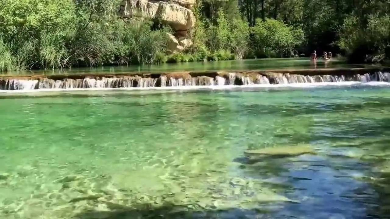
Puente de San Pedro: where the Tagus and Gallo meet
ZaorejasSaelices de la Sal Pillbox: memory of the Spanish Civil War
Saelices de la Sal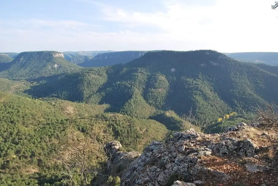
Mirador de la Cueva del Febrero (Taravilla): the great balcony of the Tagus
Taravilla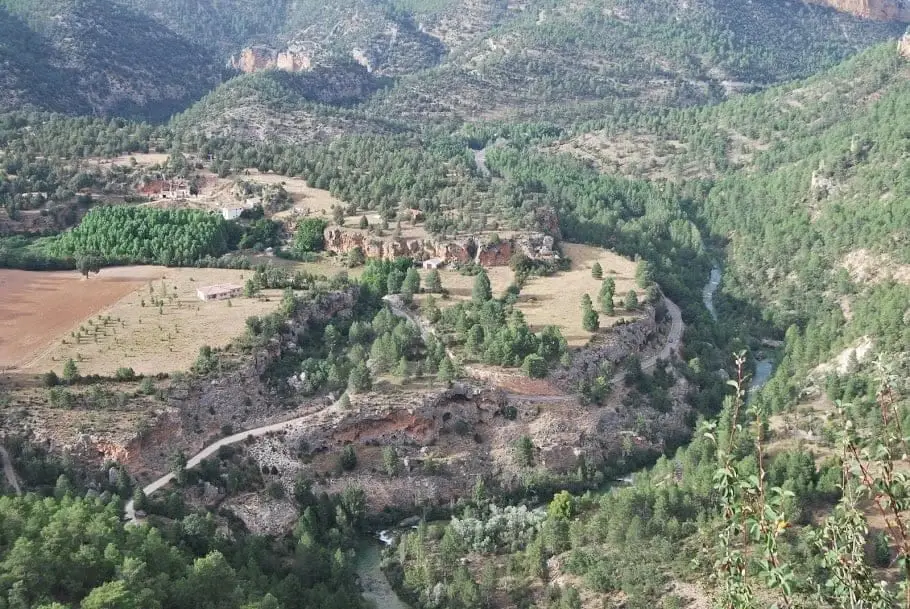
Geotrail 4: from Puente de San Pedro to the Zaorejas Viewpoint
8 km · 4 h · CircularFrequently asked questions
Was Alto Tajo a war front?
Yes. From summer 1936 to March 1939 the canyon formed part of the Guadalajara front. According to Pablo Schnell, at the war’s end the Republican 33rd Division covered the sector to Zaorejas, while the insurgent 75th Division reached Villar de Cobeta. The Republican IV Corps front continued to Montes Universales around Peralejos de las Truchas.
Where can you see Civil War trenches in Alto Tajo?
The Geopark guide highlights Castillo de Alpetea, Peña Bermeja in Villar de Cobeta and Puntal del Estiércol’s trench complex in Zaorejas. Remains also stand beside Ceja de la Cueva del Febrero and Puntal de Matasnos, and a triangular concrete bunker in Saelices de la Sal. Many are not signposted; remove nothing.
What was the Forgotten Battle of Alto Tajuña?
A Republican spring 1938 offensive to divert insurgent troops from Aragón. Schnell dates it to 1 April; other accounts start it on the night of 30–31 March. Puntal del Abejal and La Mocasilla were taken, the latter lost on 16 April. Excavations in 2012 and 2013 at Enebrá Socarrá in Abánades recovered thirteen combatants from both armies, buried in 2017.
Who commanded troops on this front?
On the Republican side, the IV Army Corps, commanded from 7 October 1937 by anarcho-syndicalist Cipriano Mera; the 33rd Division covered the sector to Zaorejas. At the war’s end, the insurgent 75th Division covered Argecilla to Villar de Cobeta.
Sources and readings
- Schnell Quiertant, Pablo (Colectivo Guadarrama): «La Guerra Civil Española en Guadalajara. Desarrollo bélico y restos materiales», en Guadalajara en guerra 1936–1939 (2007), pp. 24–36. Incluye la prospección del frente de 2006.
- Guía turística del Geoparque de la Comarca de Molina-Alto Tajo (2015), pp. 58, 151 y 262.
- Rutas de senderismo por el Alto Tajo (libro): trincheras de la Ceja de la Cueva del Febrero y del Puntal de Matasnos.
- UCLM, Memoria Democrática: ficha de la Enebrá Socarrá y presentación de La lucha guerrillera durante la Guerra Civil en la comarca de Molina, de Alan Herchhoren Alcolea.
- RECAMDER y FADETA: inventario patrimonial de la comarca (2025), aeródromo de Peralveche.
- Antonio Berlanga Santamaría: La industria resinera en Guadalajara. Expansión y declive, capítulo 9, pp. 345–347.
- Antonio Martínez Mansilla: «Los viejos labradores», Aguaspeña 20 (2013), pp. 10–11.
- Pedro José Pradillo y Esteban: «El Puente Romano de Zaorejas. Un acueducto imperial en proceso de ruina», Wad-Al-Hayara 20 (1993), pp. 65–66.
- Testimonios sobre el maquis en San Martín de Boniches, Serranía de Cuenca (Vestal Etnografía, YouTube), como comparación.
Further reading on the history of this land. Full bibliography. Links to readings for this story
Next story: Gancheros: shepherds of the floating forest