Village · Guadalajara · 999 m
Saelices de la Sal
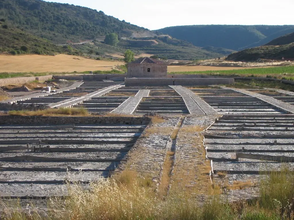
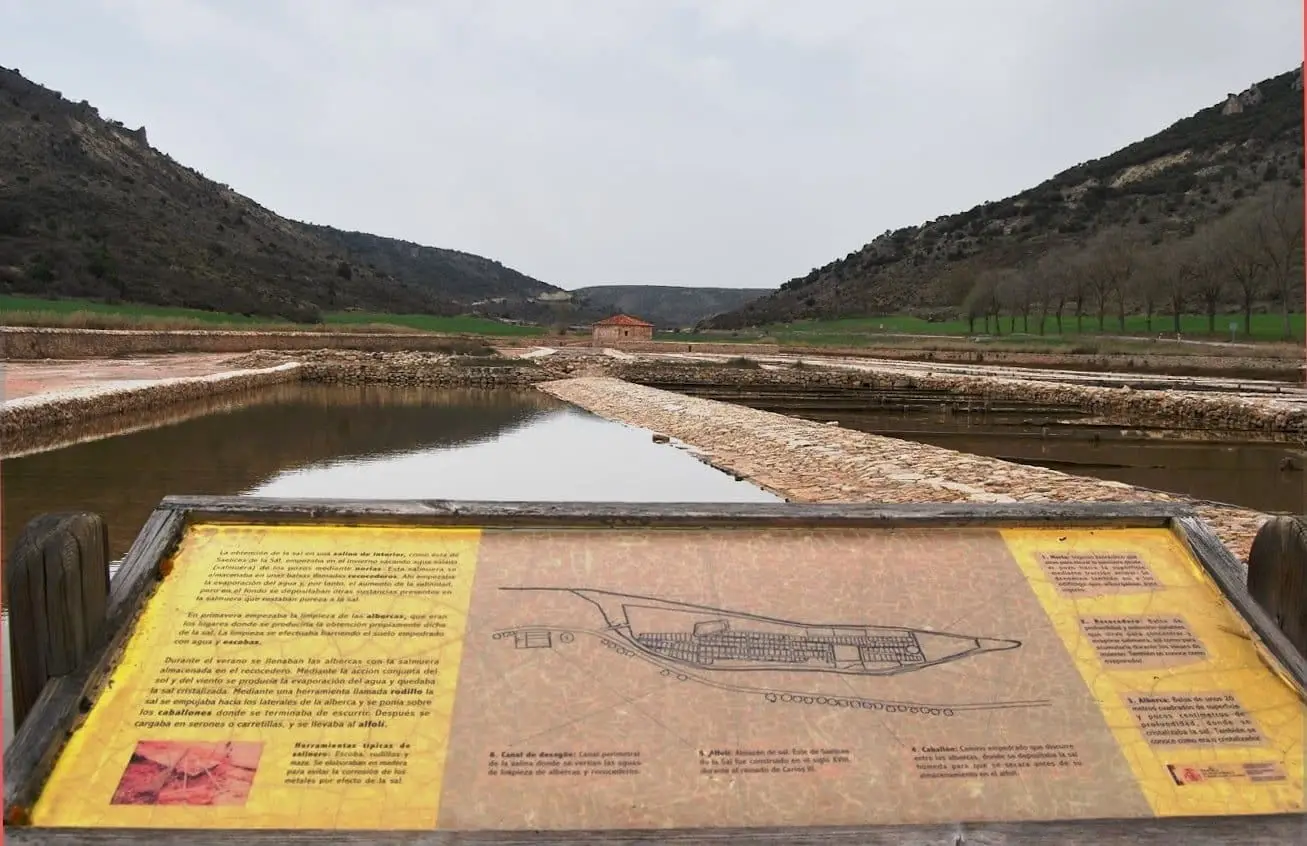
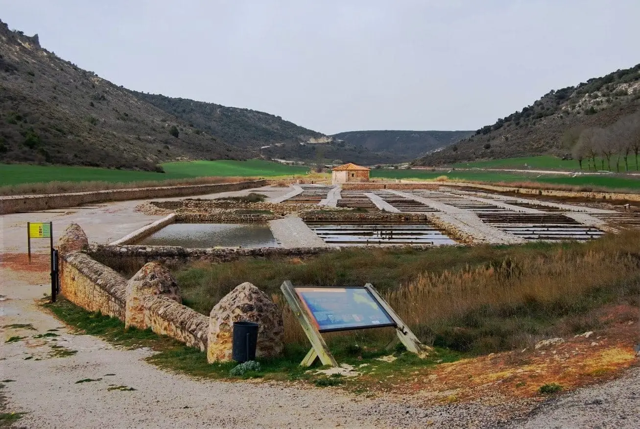
Saelices de la Sal bears salt in its name: its San Juan saltpans, documented from 1203 with 18th-century facilities, preserve wells, norias, ponds, a storehouse, and a chapel, open for guided visits on weekends.
Rivers and basins
The thread of water from Saelices de la Sal
Follow these watercourses towards their confluences, villages, and basin history.
Lands and landscapes
From here, follow the memory of the territory
These readings connect Saelices de la Sal with the history, work, and villages around it.
Traces in the village and its surroundings
Which eras you can read here
A single place can preserve traces from different eras. These layers connect what you see with the stories in the atlas.
1936–1939 · memory of the territory
The war in the village memory
A concrete triangle overlooks the junction towards Alcolea and Cifuentes. The fort was prepared for a Republican advance that never reached here: its gunports preserve the shape of that wait.
Source: Guía del Geoparque, p. 262.
Read the story of the river frontline →What to see
- Salinas de San Juan, with guided visits on weekends.
- Fortín de Saelices, triangular in layout.
Nearby
Riba de Saelices, with Cueva de los Casares and Valle de los Milagros.
Places in and around Saelices de la Sal
Routes linked to Saelices de la Sal
Near Saelices de la Sal
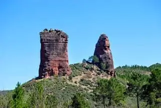
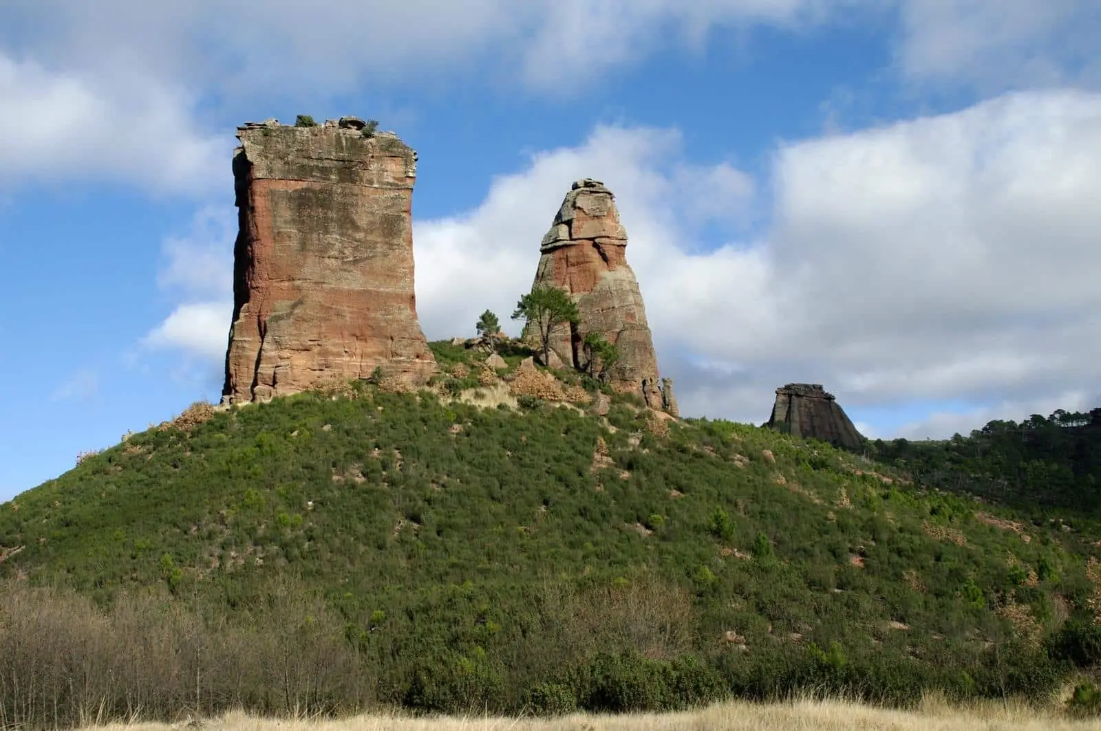
Valle de los Milagros: red sandstone towers in Riba de Saelices
Riba de Saelices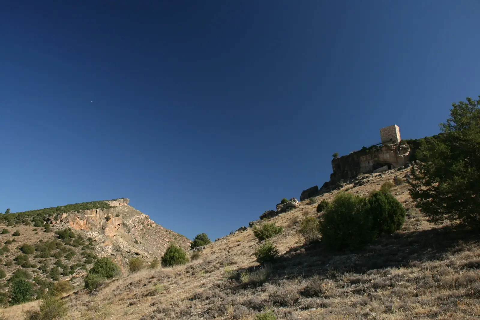
Trail 4: Valle de los Milagros (Riba de Saelices)
3 km · 1.5 h · LinearValdeherreros-La Azafuera (Riba de Saelices): from Celtiberian village to Roman vicus
Riba de Saelices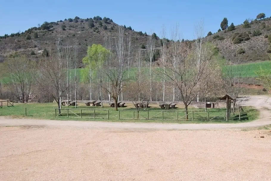
Linares River recreation area (Cueva de los Casares)
Riba de Saelices
Cueva de los Casares: Paleolithic art, Neanderthals, and Islamic tower
Riba de SaelicesRiba de Saelices watchtower: the Berber tower above Los Casares cave
Riba de SaelicesTrail 5: the chozones of La Loma (Riba de Saelices)
10.5 km · 4 h · Circular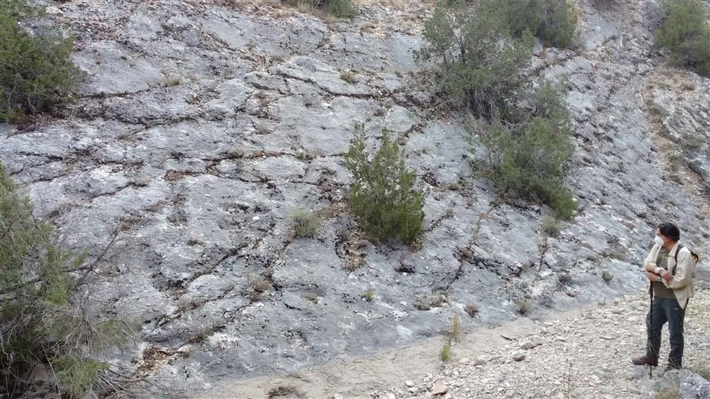
Fossil ray traces of Esplegares, from the Lower Jurassic
EsplegaresPopulation of Saelices de la Sal, 1842–2021
Saelices de la Sal reached a peak of 297 inhabitants in 1910 . In the 2021 census there were 39 , a decrease of 87%. This is the history told in the emptying of the Alto Tajo.
Climate in Saelices de la Sal month by month
2015–2024 averages from Copernicus ERA5 reanalysis for an altitude of approx. 999 m. Useful for planning, not a substitute for live forecasts.
Location
● Reference point · ● Villages · ● Places
Location diagram. Detailed map with tracks and names loads on zoom.
Reference villages: Riba de Saelices · Esplegares · Ablanque · Santa María del Espino.
Open the full map and historical layers →