Place
Peña Horadada or Peña de la Gitana
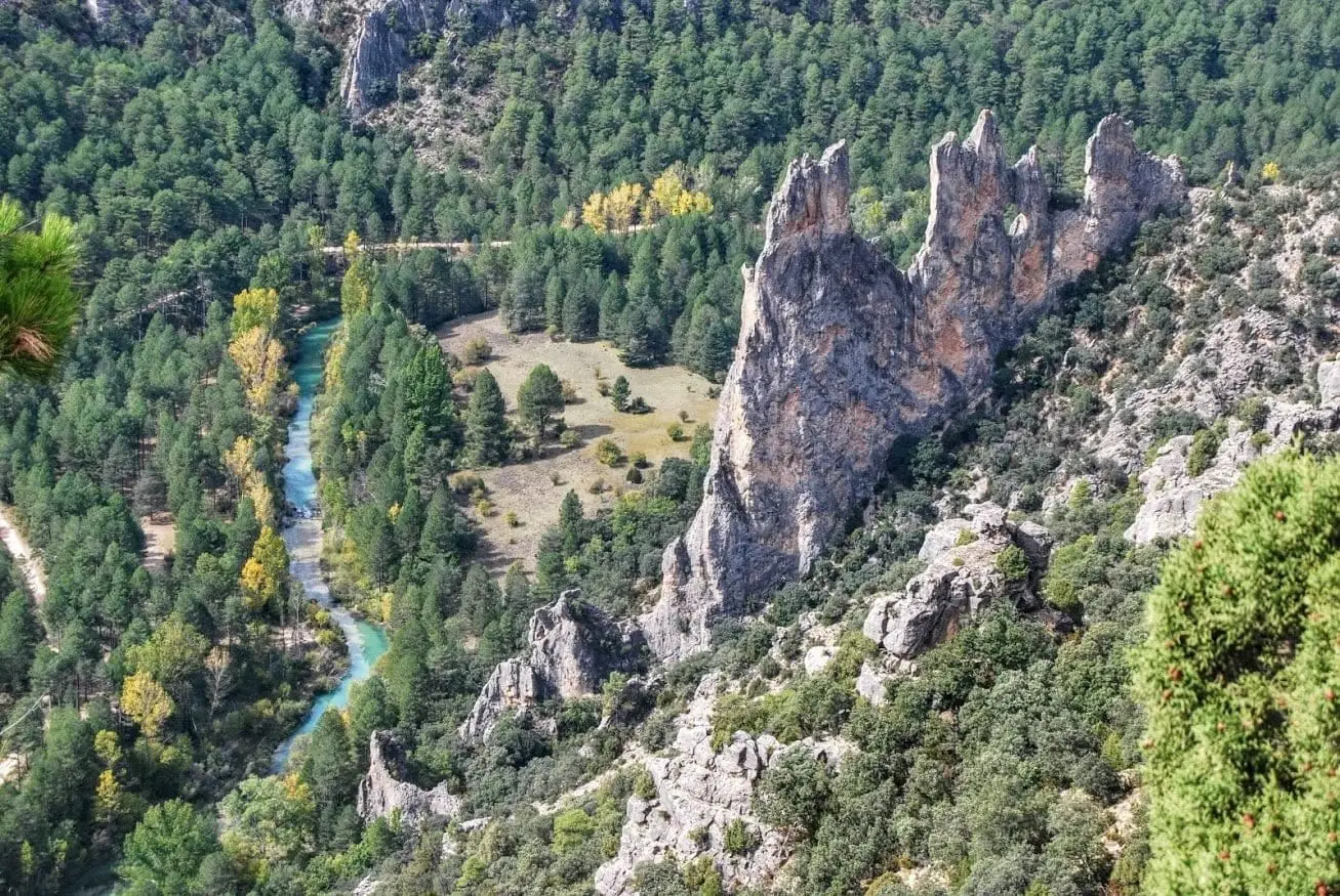
Peña Horadada, or Peña de la Gitana, is a long, narrow limestone ridge beside the Tagus, pierced with holes by weathering, opposite Fuente de las Tobas along the Tagus track. Reached by wading across the river. Below it, the Tagus calms into a gravel beach known as Fuente de la Teja after a nearby spring.
- Altitude
- 1,087 m
- Limestone ridge
- River wade required
- Fuente de la Teja
- Climbing
A rocky crest among the pines
After carefully wading the river, it rises right ahead: a jagged limestone crest emerging from the pine woods, hollowed out with cavities by weathering. At its base, the Tagus forms a quiet pool with a small beach, known as Fuente de la Teja.
How to see it
It lies along the Tagus riverside track, opposite Fuente de las Tobas. You can also view it from above at Mirador del Pie y Medio. Right next to it stands Peña del Ceñajo, popular with climbers.
Location
● Reference point · ● Villages · ● Places
Location diagram. Detailed map with tracks and names loads on zoom.
Reference villages: Peñalen · Fuembellida · Escalera · Baños de Tajo.
Open the full map and historical layers →