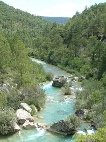
Recreation area · Zaorejas
Vado de Salmerón recreation area
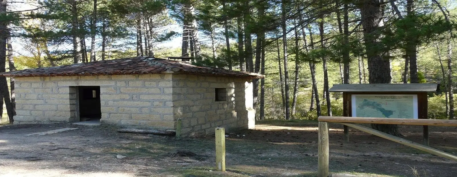
Vado de Salmerón is along the track that runs beside the Tagus, closer to the entrance via Puente de San Pedro, in Zaorejas. The track has only two access points, at San Pedro and near the Poveda bridge, and must be followed without deviations to the area, beside the namesake shelter.
Lands and landscapes
From here, follow the memory of the territory
These readings connect Vado de Salmerón recreation area with the history, work, and villages around it.
- Municipality
- Zaorejas
- Province
- Guadalajara
- Altitude
- 982 m
- Tagus riverside track
- Trail shelter
- River
Following the track is in itself an exploration of the canyon. Beside the area stands the Vado de Salmerón trail shelter. Drive slowly: it is a narrow dirt track shared with hikers.
Good conduct
The Natural Park provides no rubbish collection service: carry all waste back to village bins. Lighting fires is permitted solely in authorised facilities and outside high-risk fire seasons; check current regulations.
Location
● Reference point · ● Villages · ● Places
Location diagram. Detailed map with tracks and names loads on zoom.
Reference villages: Lebrancón · Cuevas Labradas · Escalera · Fuembellida.
Open the full map and historical layers →