Village · Guadalajara · 1,260 m
Baños de Tajo
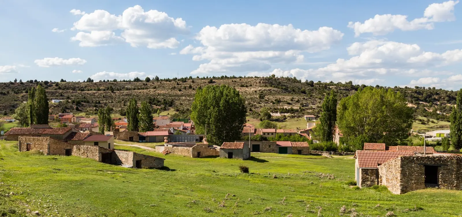
Baños de Tajo is a small village in the Alto Tajo at about 1,260 metres, just over two kilometres from Taravilla. The Tagus Viewpoints route passes through its municipality, following a series of clifftop balconies overlooking the canyon by bicycle or 4x4.
What to do
Follow the Tagus Viewpoints route, taking in cliff balconies such as Pie y Medio and Puntal del Pancho.
Nearby
Taravilla, with its mountain lake and the Salto de Poveda, and Tierzo, with the saltworks of Armallá.
Near Baños de Tajo
Torre de Doña Blanca (Taravilla): Watchtower Over the Cabrillas
Taravilla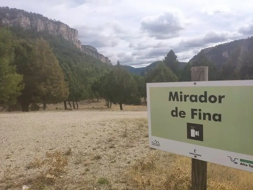
Mirador de Fina: roadside balcony over the Tagus
Taravilla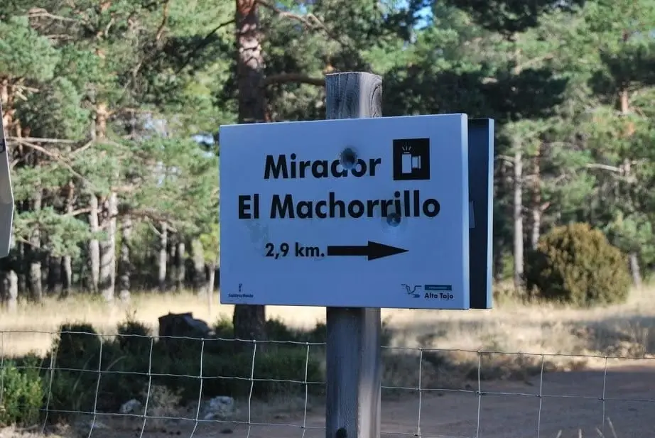
Mirador del Machorrillo: Laguna de Taravilla from above
Taravilla
Huerta del Forestal recreation area (Taravilla)
Taravilla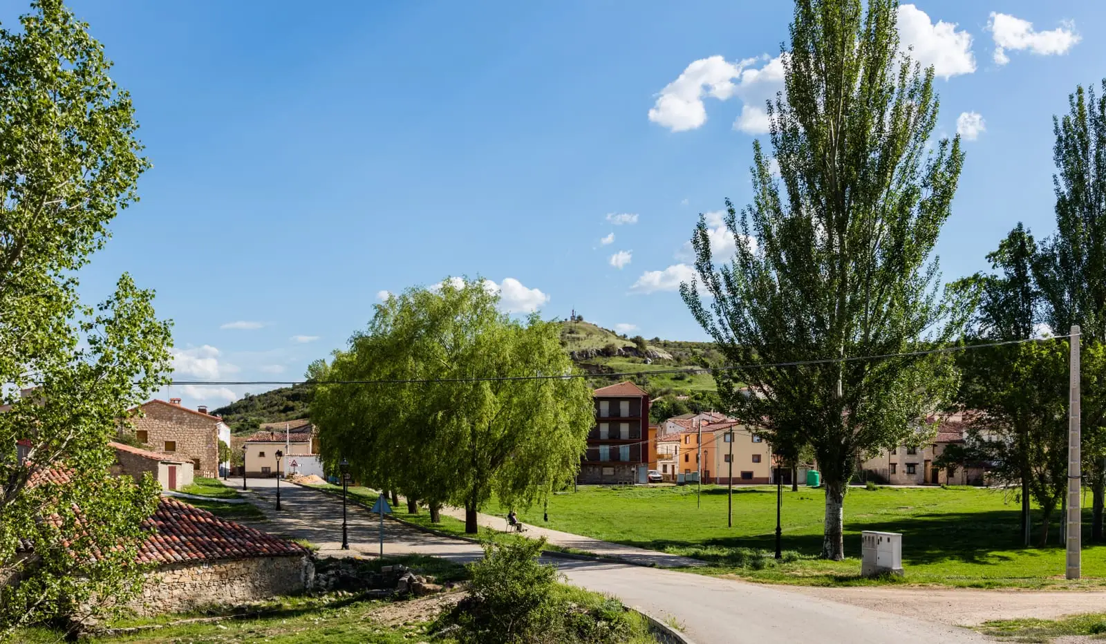
MTB route 2: the Tagus Viewpoints (Taravilla)
33 km · 4 h · Linear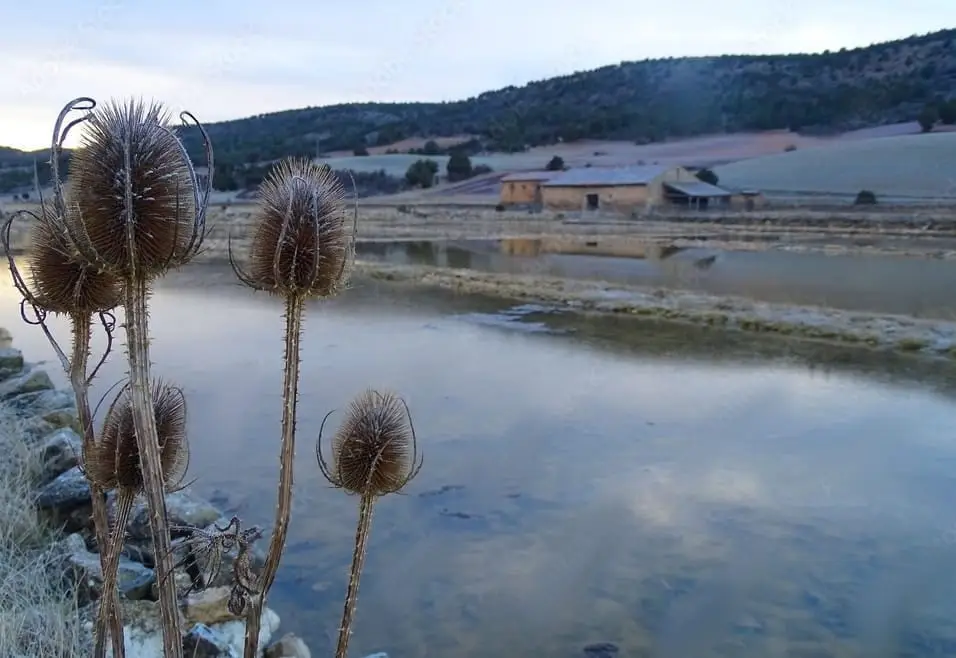
Armallá Salt Pans (Tierzo): Salt of the Señorío Since Roman Times
Tierzo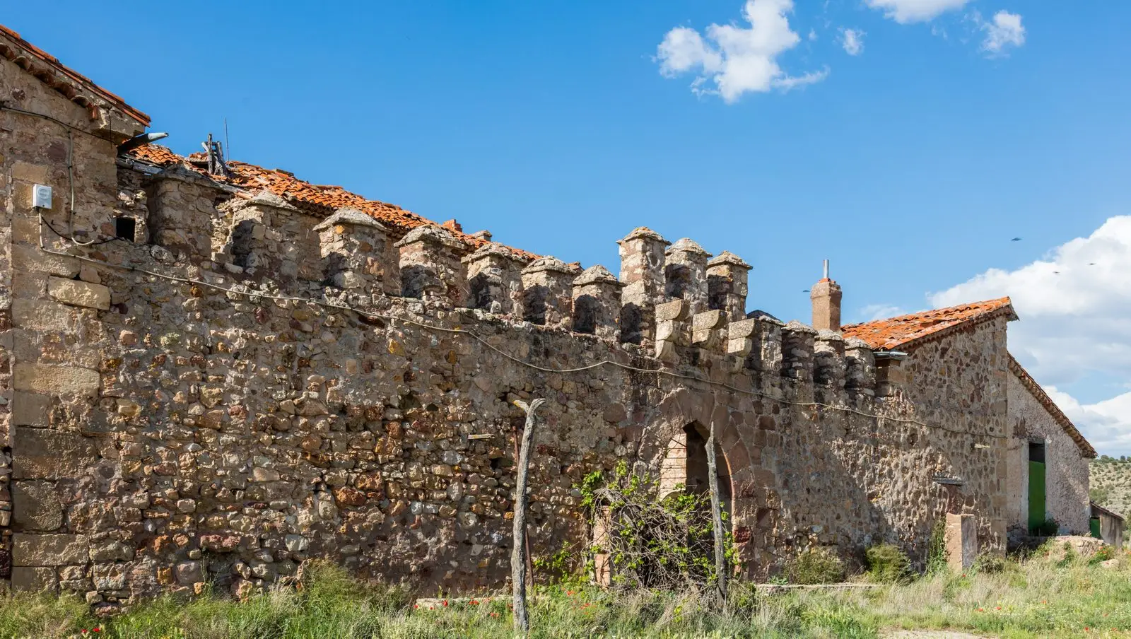
Fortified house of Vega de Arias (Tierzo): Casa del Cid
Tierzo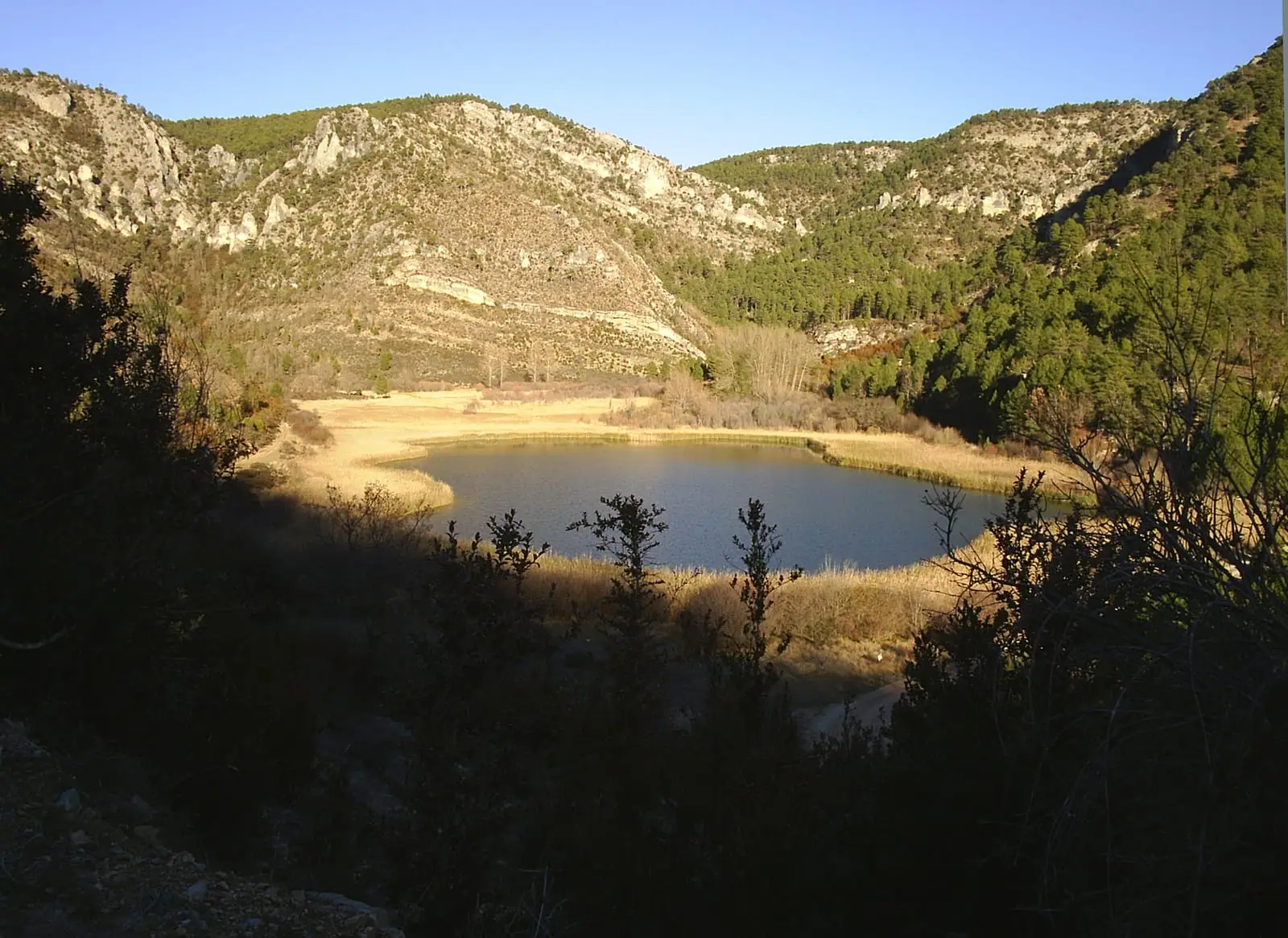
MTB route 3: La Muela, between Taravilla and Peralejos
24 km · 6 h · LinearPopulation of Baños de Tajo, 1842–2021
Baños de Tajo reached a peak of 505 inhabitants in 1877 . In the 2021 census there were 21 , a decrease of 96%. This is the history told in the emptying of the Alto Tajo.
Climate in Baños de Tajo month by month
2015–2024 averages from Copernicus ERA5 reanalysis for an altitude of approx. 1,260 m. Useful for planning, not a substitute for live forecasts.
Location
● Reference point · ● Villages · ● Places
Location diagram. Detailed map with tracks and names loads on zoom.
Reference villages: Taravilla · Fuembellida · Tierzo · Terzaga.
Open the full map and historical layers →