Village · Guadalajara · 1,365 m
Peñalen
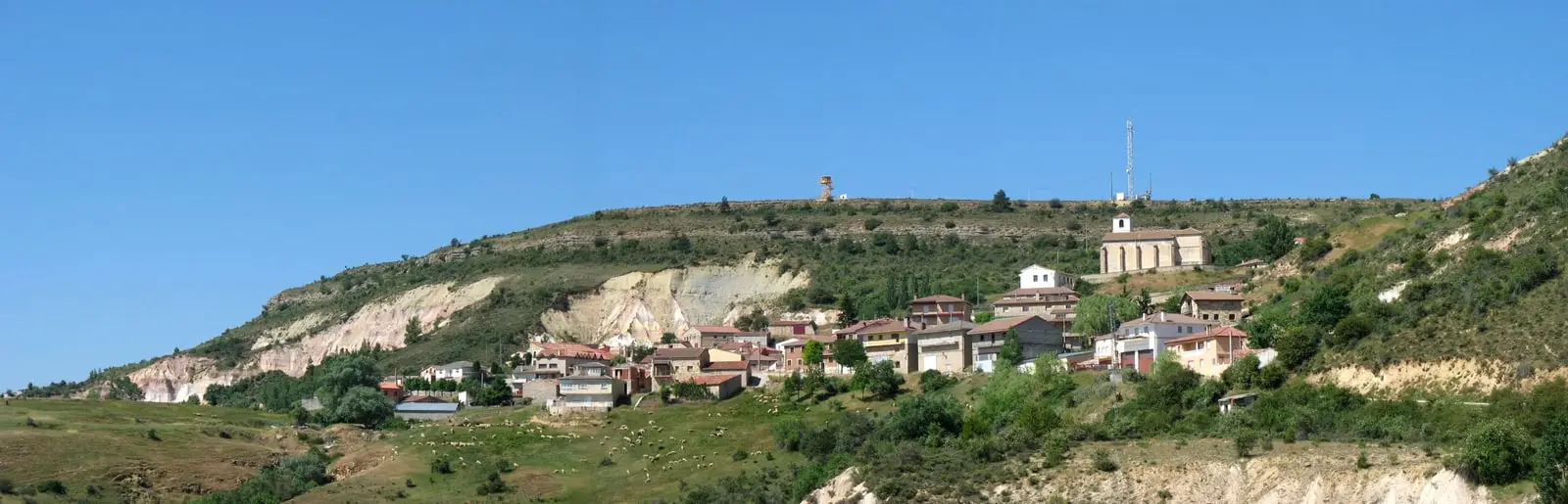
Peñalén is a small village in the Alto Tajo Natural Park at an altitude of around 1,360 metres, surrounded by paramera (high limestone plateau) and pine forest. Its municipal area includes the Peñalén bridge, the Hoya del Espino enchanted rock formations, and the Fuente de las Tobas spring, and it is traversed by Georoute 6 connecting it to Villanueva de Alcorón. It is where El Observario lives and works.
Rivers and basins
The thread of water from Peñalen
Follow these watercourses towards their confluences, villages, and basin history.
Lands and landscapes
From here, follow the memory of the territory
These readings connect Peñalen with the history, work, and villages around it.
Traces in the village and its surroundings
Which eras you can read here
A single place can preserve traces from different eras. These layers connect what you see with the stories in the atlas.
A small village at the heart of the Park
Peñalén sits at the heart of the Alto Tajo, between the high paramera plateau and the ravines that descend toward the river. It is a quiet mountain village where winter brings deep silence, and for that very reason it possesses some of the darkest night skies in the entire territory.
What to see
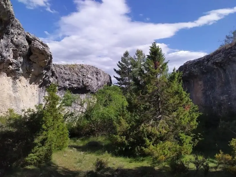
- Ciudad encantada de la Hoya del Espino, geological rock forms sculpted by erosion.
- Puente de Peñalén.
- Fuente de las Tobas, with its trail shelter.
- Refugio del Pozo Cornejo.
Routes
Georuta 6 links Peñalén with Villanueva de Alcorón, home to the Sima de Alcorón chasm and the Przewalski’s horses.
From here
This atlas is created by El Observario, based in Peñalén. Much of what these guides share has been learned walking these mountains through every season of the year.
More to see
Within the municipality: the Mining Museum, housed in the former village school.
Records of a festival
Saturnino Sanz recalled taking part in the Moors and Christians pageant of 1953. Villagers rehearsed in Las Ollas and processed with wooden swords, mules, and decorated horses. The family of Juan Bautista Rubio preserved the performance manuscript: seven handwritten sheets that document a village festival that ceased to be performed. Its memory lives on among the rituals of the villages.
Places in and around Peñalen
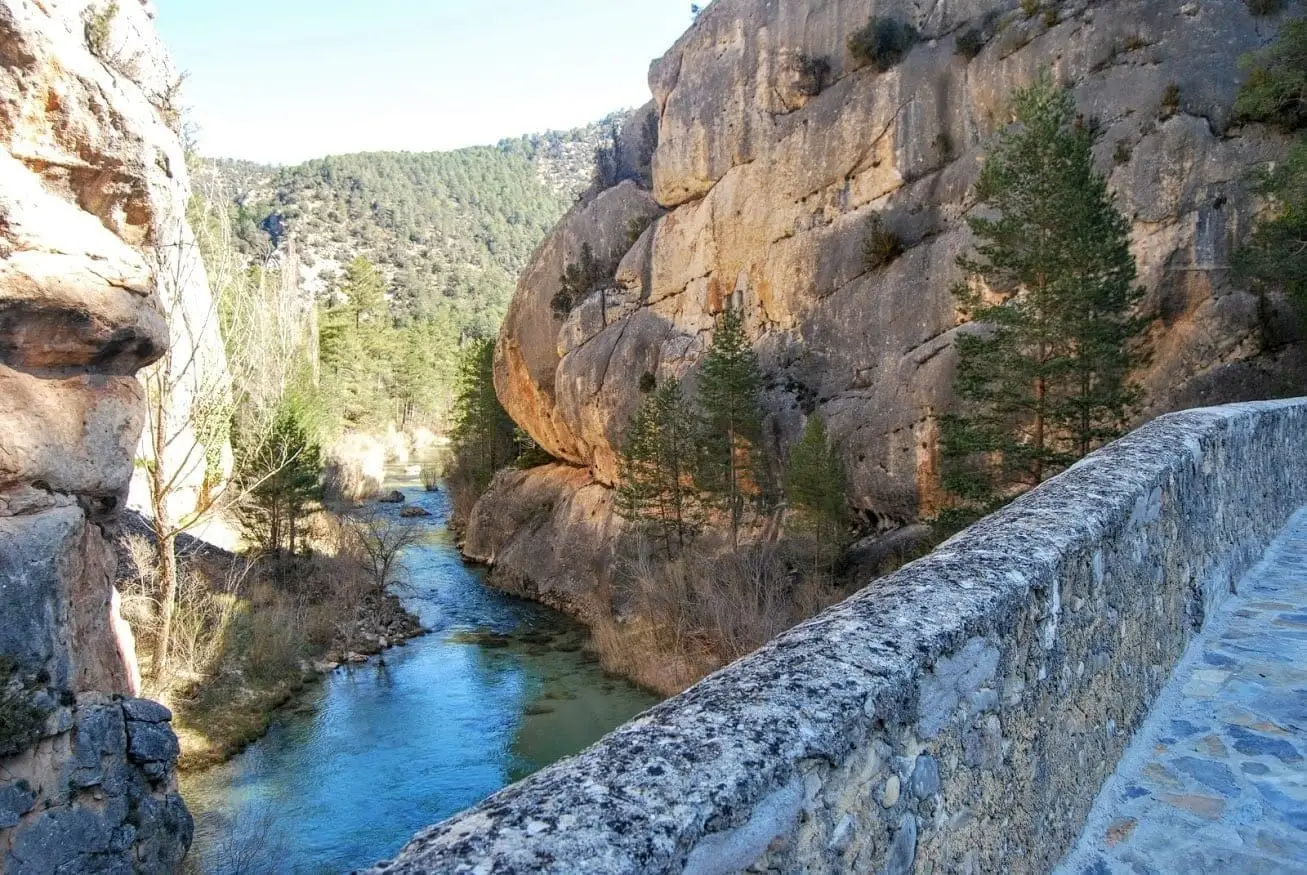
Peñalén Bridge or Puente del Tío Lucas: a 1943 crossing between rock fins
Peñalen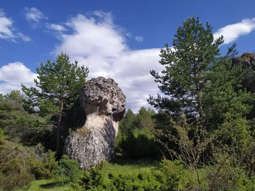
Enchanted city of Hoya del Espino (Peñalén)
Peñalen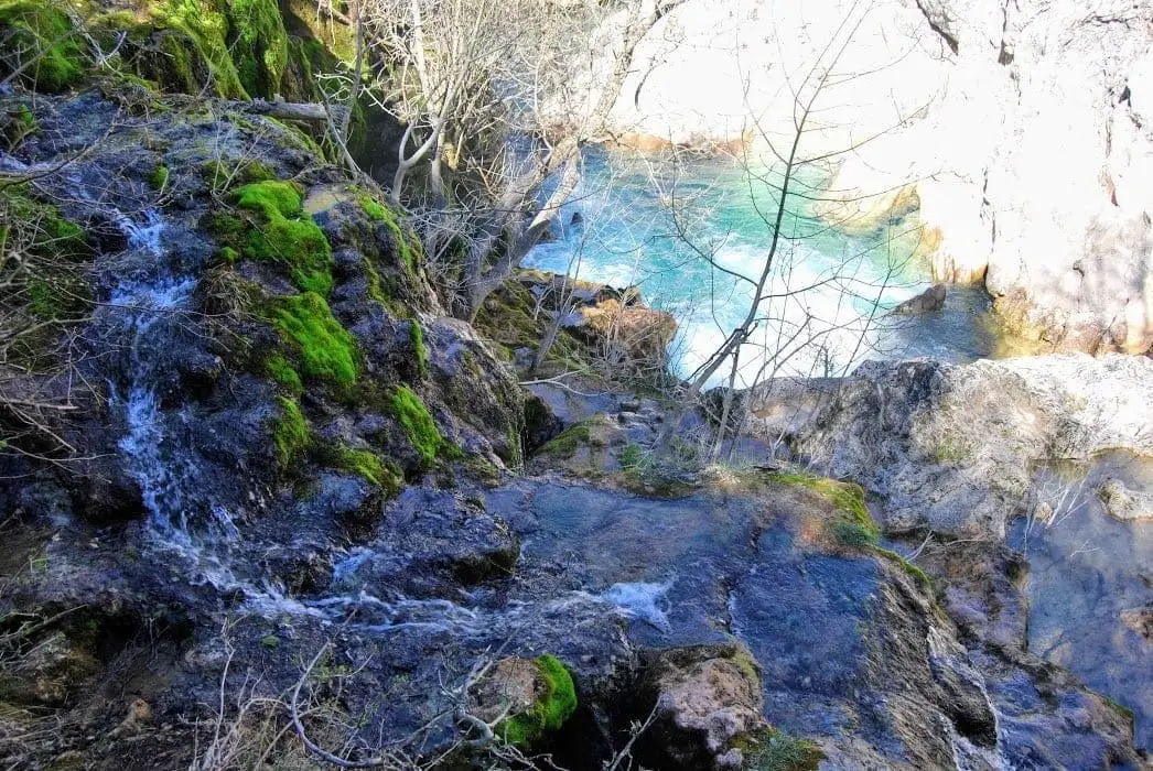
Fuente de las Tobas: the great Tagus waterfall in Peñalén
PeñalenPeñalén folds: a tropical sea crumpled by the earth
PeñalenPeñalén Mining Museum
PeñalenRoutes linked to Peñalen
Near Peñalen
Church of San Pablo and Ermita de los Remedios (Poveda de la Sierra)
Poveda de la Sierra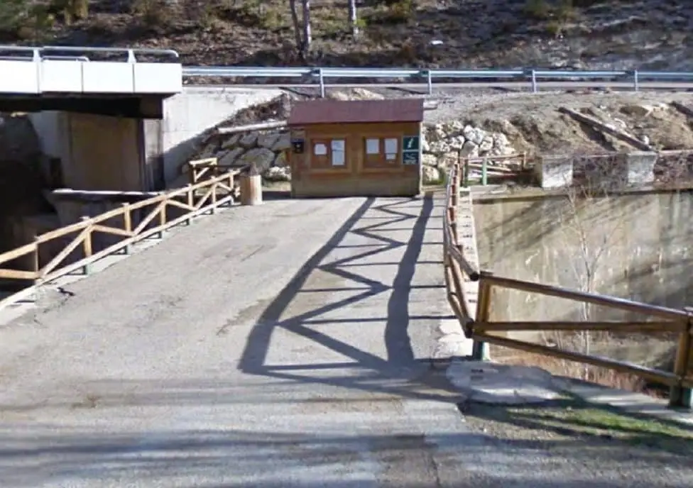
Poveda de la Sierra information point
Poveda de la Sierra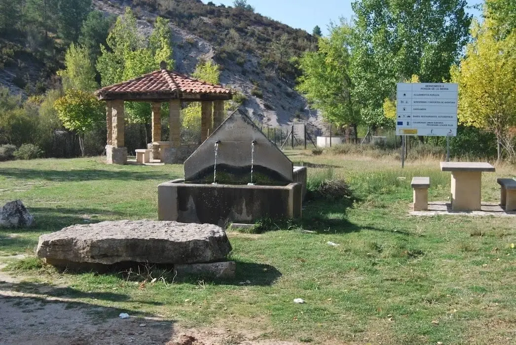
Poveda-Peñalén junction rest area
Poveda de la Sierra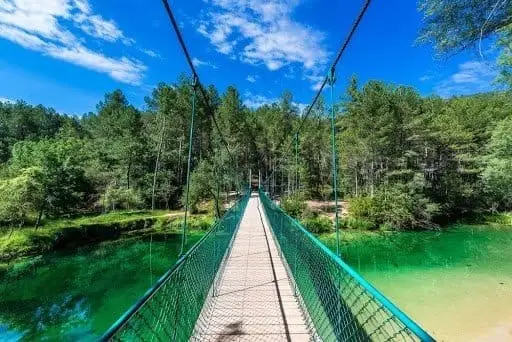
Puente Colgante del Tajo recreation area
Poveda de la SierraFuente del Berro recreation area (Poveda de la Sierra)
Poveda de la Sierra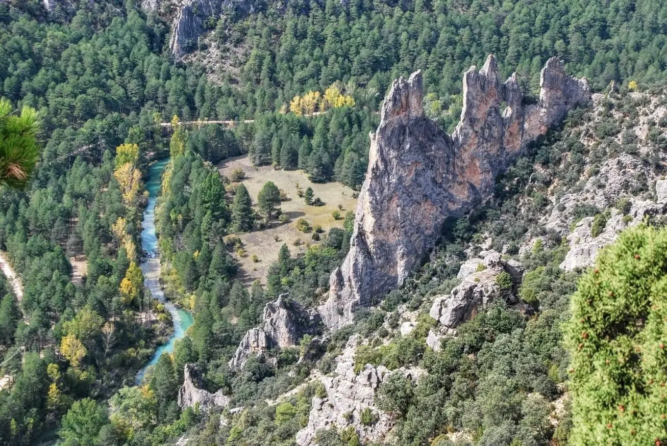
Peña Horadada or Peña de la Gitana
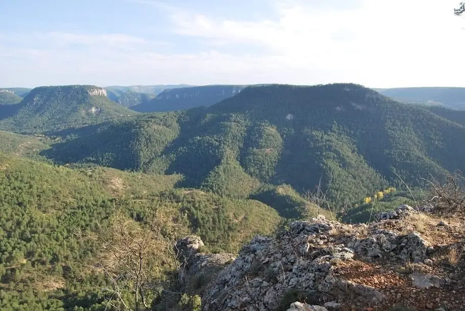
Mirador de la Cueva del Febrero (Taravilla): the great balcony of the Tagus
TaravillaPopulation of Peñalen, 1842–2021
Peñalen reached a peak of 383 inhabitants in 1960 . In the 2021 census there were 75 , a decrease of 80%. This is the history told in the emptying of the Alto Tajo.
Climate in Peñalen month by month
2015–2024 averages from Copernicus ERA5 reanalysis for an altitude of approx. 1,365 m. Useful for planning, not a substitute for live forecasts.
Location
● Reference point · ● Villages · ● Places
Location diagram. Detailed map with tracks and names loads on zoom.
Reference villages: Poveda de la Sierra · Valsalobre · Taravilla · Cueva del Hierro.
Open the full map and historical layers →