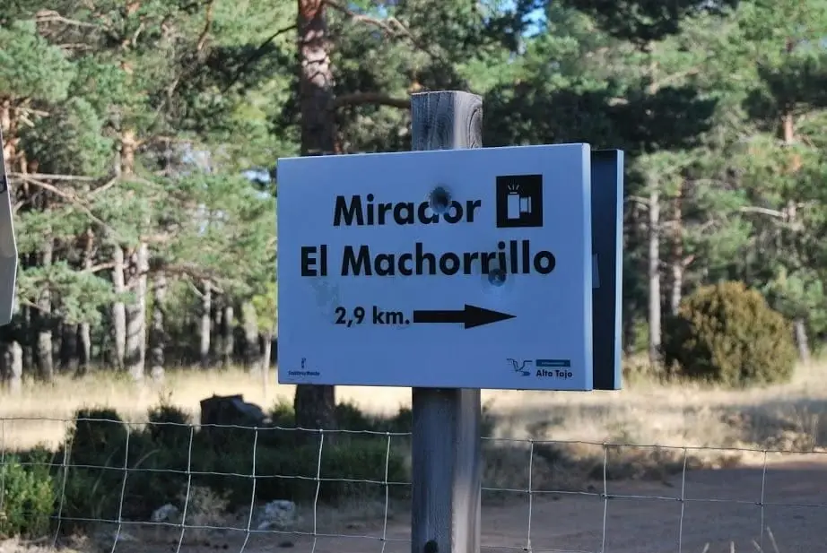
Viewpoint · Fuembellida
Mirador del Pie y Medio (Fuembellida)
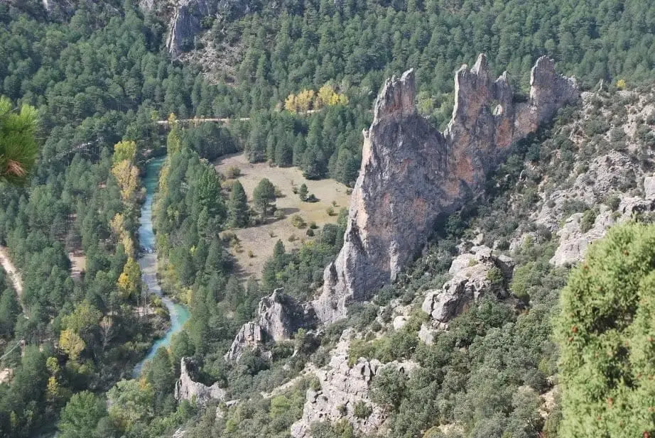
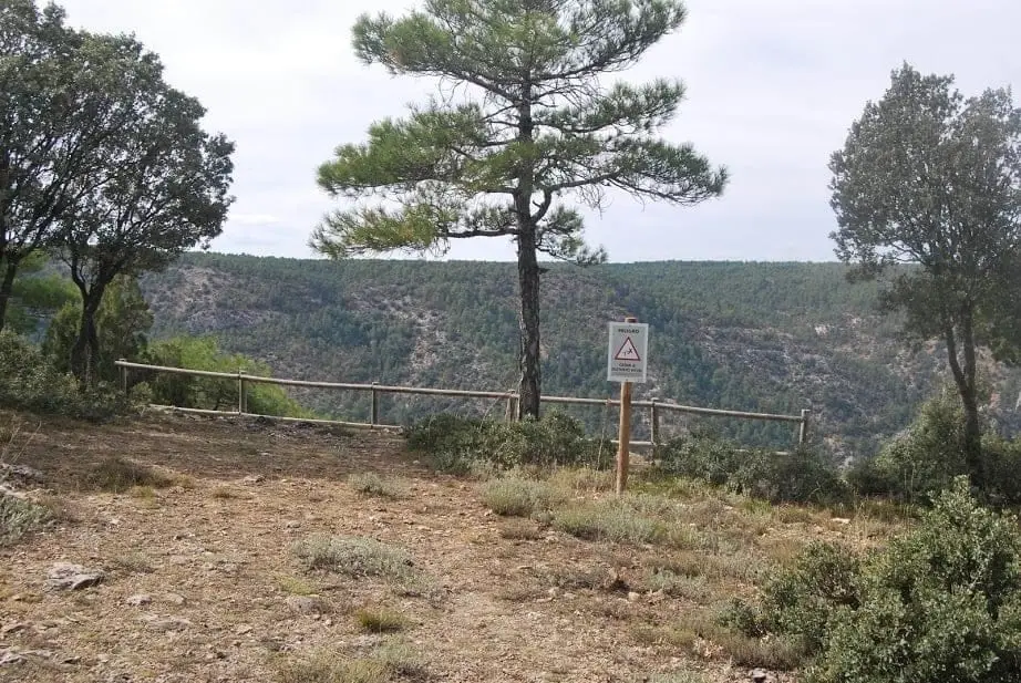
The Mirador del Pie y Medio overlooks the Tagus valley above the Fuente de la Teja area and the great limestone slab of Peña Horadada, also known as Peña de la Gitana. Reached via the Park's orange-waymarked BTT Route 2; it has wooden railings and is a fine spot for cliff-nesting birds.
Lands and landscapes
From here, follow the memory of the territory
These readings connect Mirador del Pie y Medio (Fuembellida) with the history, work, and villages around it.
- Best season
- All year round
- Municipality
- Fuembellida
- Province
- Guadalajara
- Peña Horadada
- Park BTT Route 2
- Wooden railings
- Cliff birds
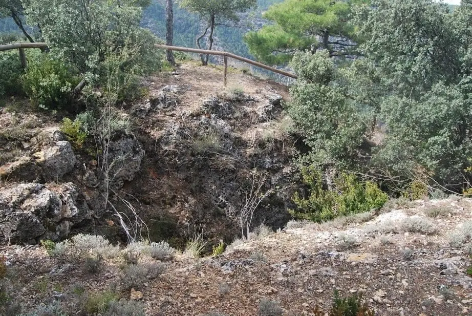
- Fenced shaft
Facing Peña Horadada
The view takes in the Tagus valley, the Fuente de la Teja spring beside the river, and a huge limestone slab: Peña Horadada, known locally as Peña de la Gitana.
Safe and easy
Access is marked with orange trail posts as part of the Park’s BTT Route 2, Los Miradores del Tajo. The viewpoint has wooden railings and, right beside it, a natural chasm securely fenced off. The track is in good condition.
Why visit
To watch cliff-dwelling birds in quiet surroundings. Consider planning a full day to take in several viewpoints along the route.
Photo: El Observario
Location
● Reference point · ● Villages · ● Places
Location diagram. Detailed map with tracks and names loads on zoom.
Approximate position: village centre.
Reference villages: Fuembellida · Escalera · Valhermoso · Baños de Tajo.
Open the full map and historical layers →More viewpoints nearby
View all →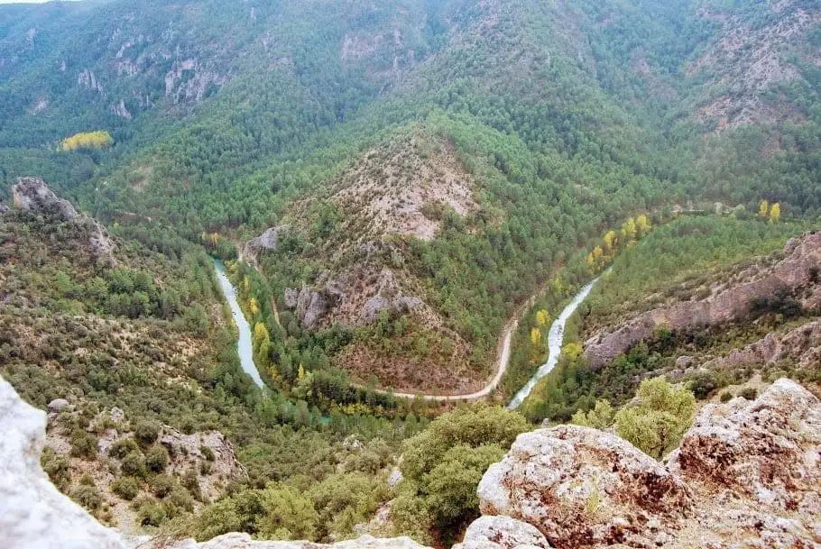
Puntal del Pancho (Lebrancón): window onto the Tagus canyon
Lebrancón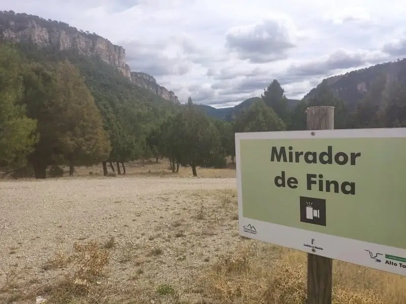
Mirador de Fina: roadside balcony over the Tagus
Taravilla