Geosite · Peñalen
Enchanted city of Hoya del Espino (Peñalén)
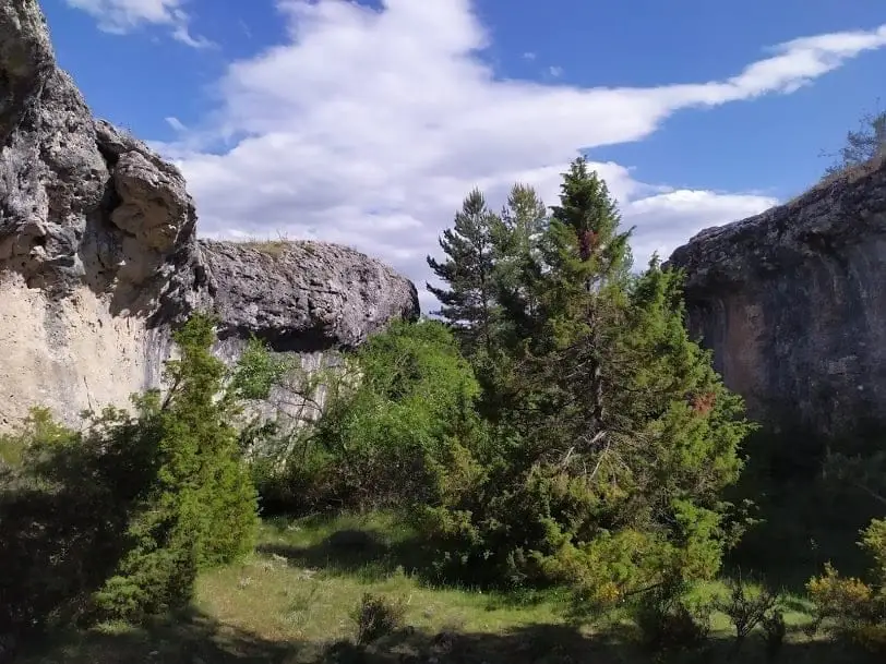
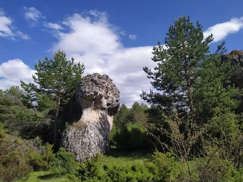
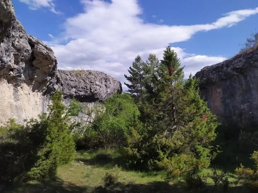
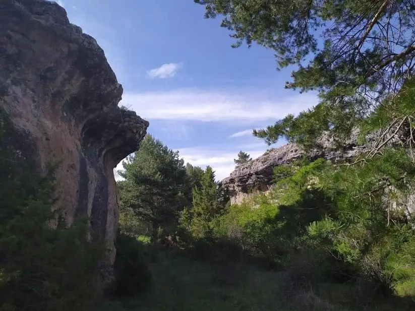
The enchanted city of Hoya del Espino is less than a kilometre from Peñalén, at about 1,420 metres altitude. These are natural limestone sculptures shaped by rock dissolution along cross-cutting fractures, giving the blocks elongated forms aligned in the same direction. It has two clusters: Hoya del Espino and Peñas del Agua.
Lands and landscapes
From here, follow the memory of the territory
These readings connect Enchanted city of Hoya del Espino (Peñalén) with the history, work, and villages around it.
This place across time
Which eras you can read here
A single place can preserve traces from different eras. These layers connect what you see with the stories in the atlas.
- Municipality
- Peñalen
- Province
- Guadalajara
- Altitude
- 1,376 m
- Limestone
- Aligned pinnacles
- 1,420 m
- Beside Peñalén
Rock, water, and time
Here the material is limestone, the sculpting tool is rainwater, and the artist is deep geological time. If you observe carefully, the sculpted blocks are elongated and align in a uniform direction: karst dissolution advanced primarily along an intersecting network of geological fracture joints, showing clearly how rock fractures govern the shaping of relief.
Two clusters of stone pinnacles
The Hoya del Espino cluster and the Peñas del Agua cluster, separated from one another. They are located within a short walk of Peñalén, the village where this atlas is written.
Photo: El Observario
Location
● Reference point · ● Villages · ● Places
Location diagram. Detailed map with tracks and names loads on zoom.
Reference villages: Peñalen · Valsalobre · Poveda de la Sierra · Villanueva de Alcorón.
Open the full map and historical layers →More geology and geosites nearby
View all →Peñalén Mining Museum
PeñalenPeñalén folds: a tropical sea crumpled by the earth
Peñalen