Heritage · Beteta
Valtablado de Beteta: an abandoned village in the Serranía
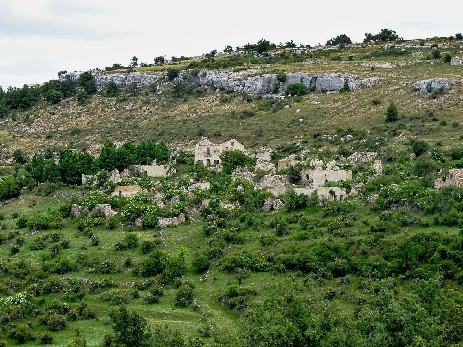
Valtablado de Beteta was one of Beteta’s seven villages and became independent in 1850. Emigration in the 1960s and 1970s and the sale of its land to ICONA left it deserted; in 1974 it became part of Beteta again. Today it lies in ruins between Cueva del Hierro and Valsalobre, while an association of former residents keeps its memory alive.
This place across time
Which eras you can read here
A single place can preserve traces from different eras. These layers connect what you see with the stories in the atlas.
- Municipality
- Beteta
- Province
- Cuenca
- Altitude
- 1,408 m
- Abandoned village
- Emigration
- ICONA
- El Rinconcillo association
From hamlet to municipality, and back
Valtablado separated from Beteta in 1850. A century later, between the mid-sixties and early seventies, its residents gradually left, its territory was sold to ICONA, and the village emptied. In 1974 it returned to being part of Beteta.
Living memory
In 2009, former residents, friends, and descendants created the Asociación Cultural El Rinconcillo de Valtablado so that the children and grandchildren of those emigrants would not forget their roots.
Walking among its ruins is a way to understand the depopulation of the Serranía. Do so with respect: do not take stones or enter unstable structures.
Location
● Reference point · ● Villages · ● Places
Location diagram. Detailed map with tracks and names loads on zoom.
Reference villages: Valsalobre · Cueva del Hierro · Beteta · Poveda de la Sierra.
Open the full map and historical layers →