Village · Cuenca · 1,335 m
Cueva del Hierro
Cueva del Hierro is a village in the Serranía de Cuenca at around 1,330 metres, next to Beteta. It owes its name to an iron mine worked from the 6th century BC and later by Rome. Very close by rises the Guadiela, a major tributary of the upper Tagus.
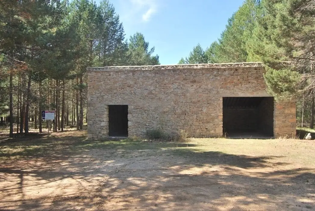
Rivers and basins
The thread of water from Cueva del Hierro
Follow these watercourses towards their confluences, villages, and basin history.
Traces in the village and its surroundings
Which eras you can read here
A single place can preserve traces from different eras. These layers connect what you see with the stories in the atlas.
What to see
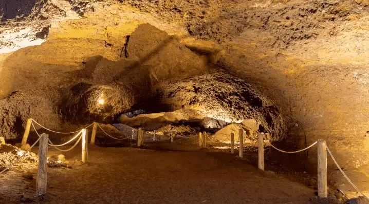
- The Roman mine, featuring underground galleries from Roman times.
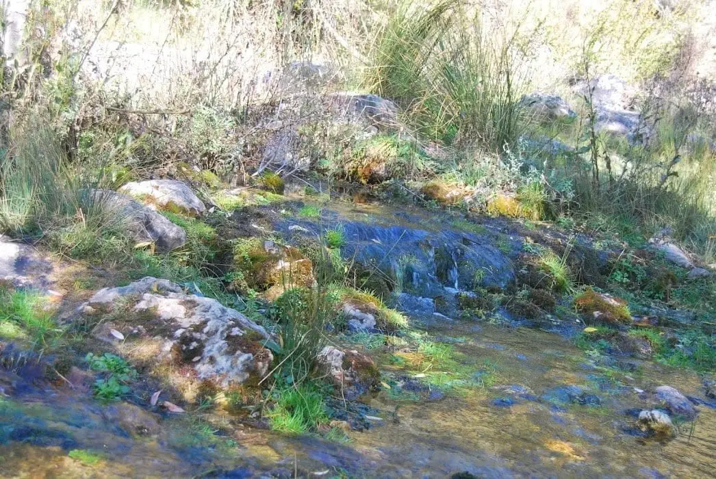
- The source of the Guadiela river and its recreation area.
Nearby
Beteta, the Hoz de Beteta and the deserted settlement of Valtablado de Beteta.
Places in and around Cueva del Hierro
Near Cueva del Hierro
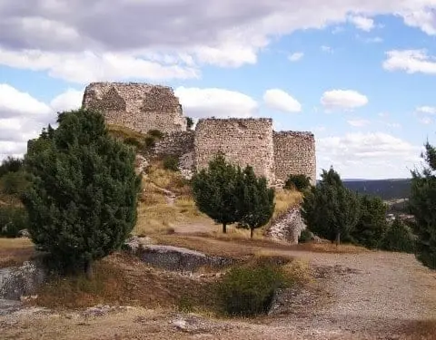
Castle of Rochafrida (Beteta): the fortress upon the black cliff
Beteta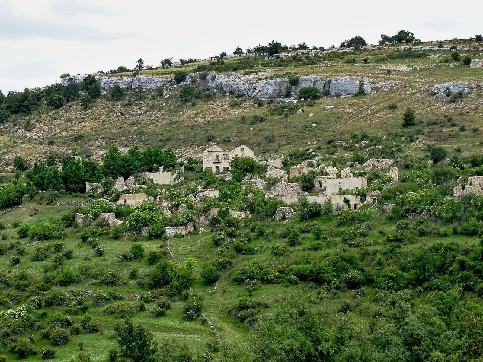
Valtablado de Beteta: an abandoned village in the Serranía
Beteta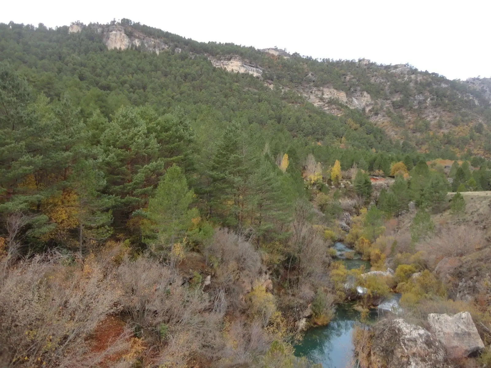
Dehesa de Belvalle (Beteta)
Beteta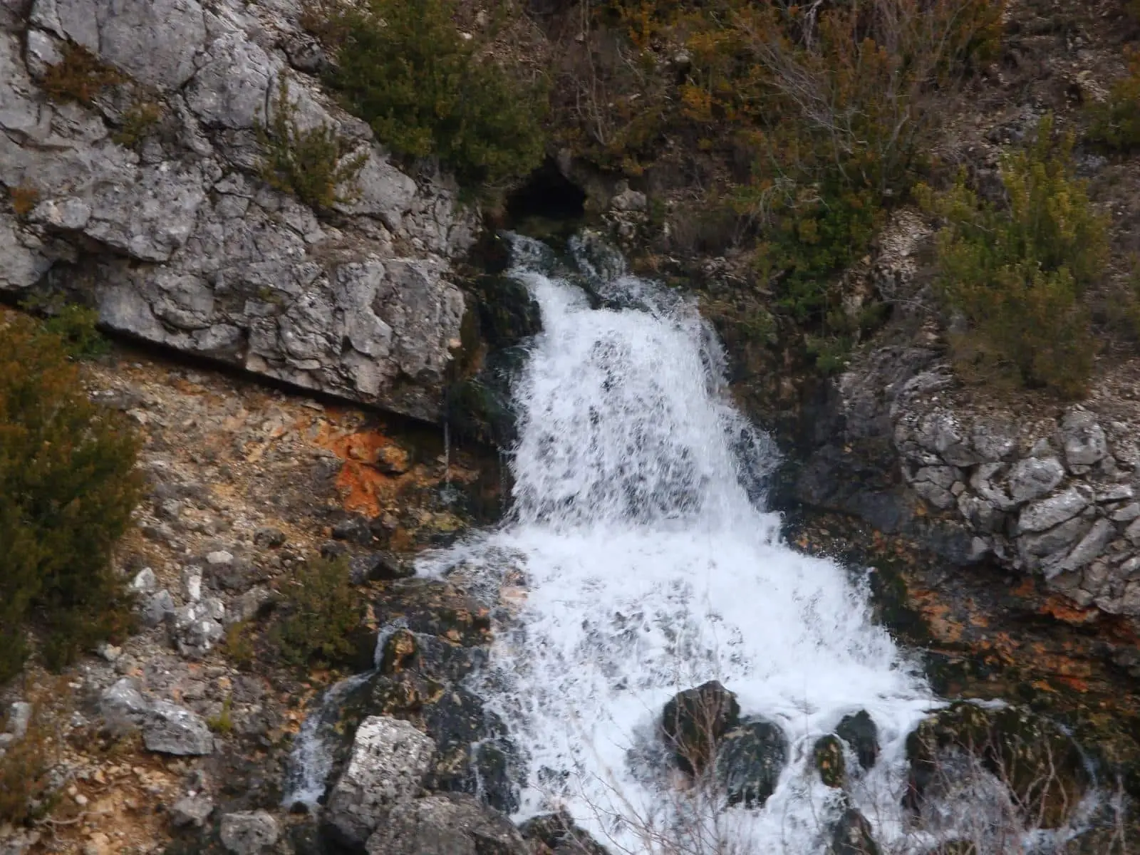
Bocanegra Resurgence (Ojal Morena), Poveda de la Sierra
Poveda de la Sierra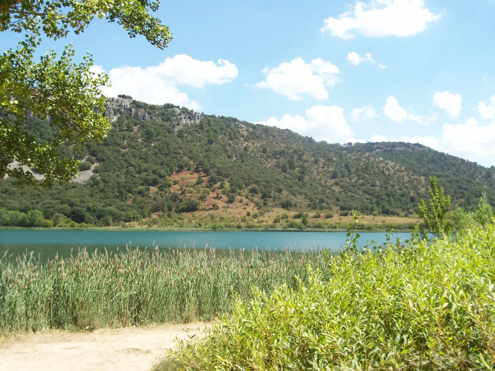
Laguna Grande de El Tobar (Beteta): a lake with saltwater at the bottom
Beteta
Barranco del Horcajo: a canyon with yew and linden woodland
Masegosa, Peralejos de las TruchasChurch of San Pablo and Ermita de los Remedios (Poveda de la Sierra)
Poveda de la Sierra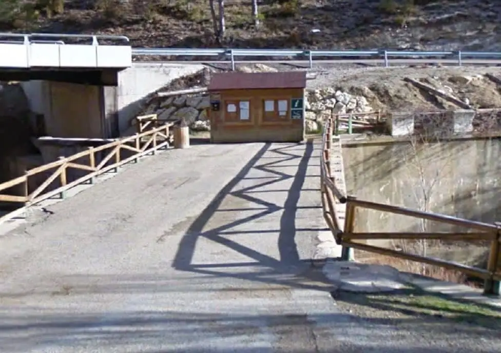
Poveda de la Sierra information point
Poveda de la SierraPopulation of Cueva del Hierro, 1842–2021
Cueva del Hierro reached a peak of 197 inhabitants in 1960 . In the 2021 census there were 35 , a decrease of 82%. This is the history told in the emptying of the Alto Tajo.
Climate in Cueva del Hierro month by month
2015–2024 averages from Copernicus ERA5 reanalysis for an altitude of approx. 1,335 m. Useful for planning, not a substitute for live forecasts.
Location
● Reference point · ● Villages · ● Places
Location diagram. Detailed map with tracks and names loads on zoom.
Reference villages: Beteta · Valsalobre · Poveda de la Sierra · Carrascosa de la Sierra.
Open the full map and historical layers →