Village · Guadalajara · 1,189 m
Poveda de la Sierra
Poveda de la Sierra is a village surrounded by vast pine forests and embraced by the Tagus River, with an identity tied to its ganchero past. Nearby are Salto de Poveda, the Bocanegra karstic resurgence, San Pablo church, and riverside recreation areas.
Rivers and basins
The thread of water from Poveda de la Sierra
Follow these watercourses towards their confluences, villages, and basin history.
Lands and landscapes
From here, follow the memory of the territory
These readings connect Poveda de la Sierra with the history, work, and villages around it.
Traces in the village and its surroundings
Which eras you can read here
A single place can preserve traces from different eras. These layers connect what you see with the stories in the atlas.
A village between pine trees and the river
Poveda lives surrounded by pine woods and embraced by the Tagus. Like Peralejos, it was a village of gancheros, and its name is joined to the most famous waterfall in the Alto Tajo.
What to see
- Salto de Poveda, the tufa waterfall born from a dam that never went into operation.
- Surgencia de Bocanegra, a point where underground karstic water emerges to the surface.
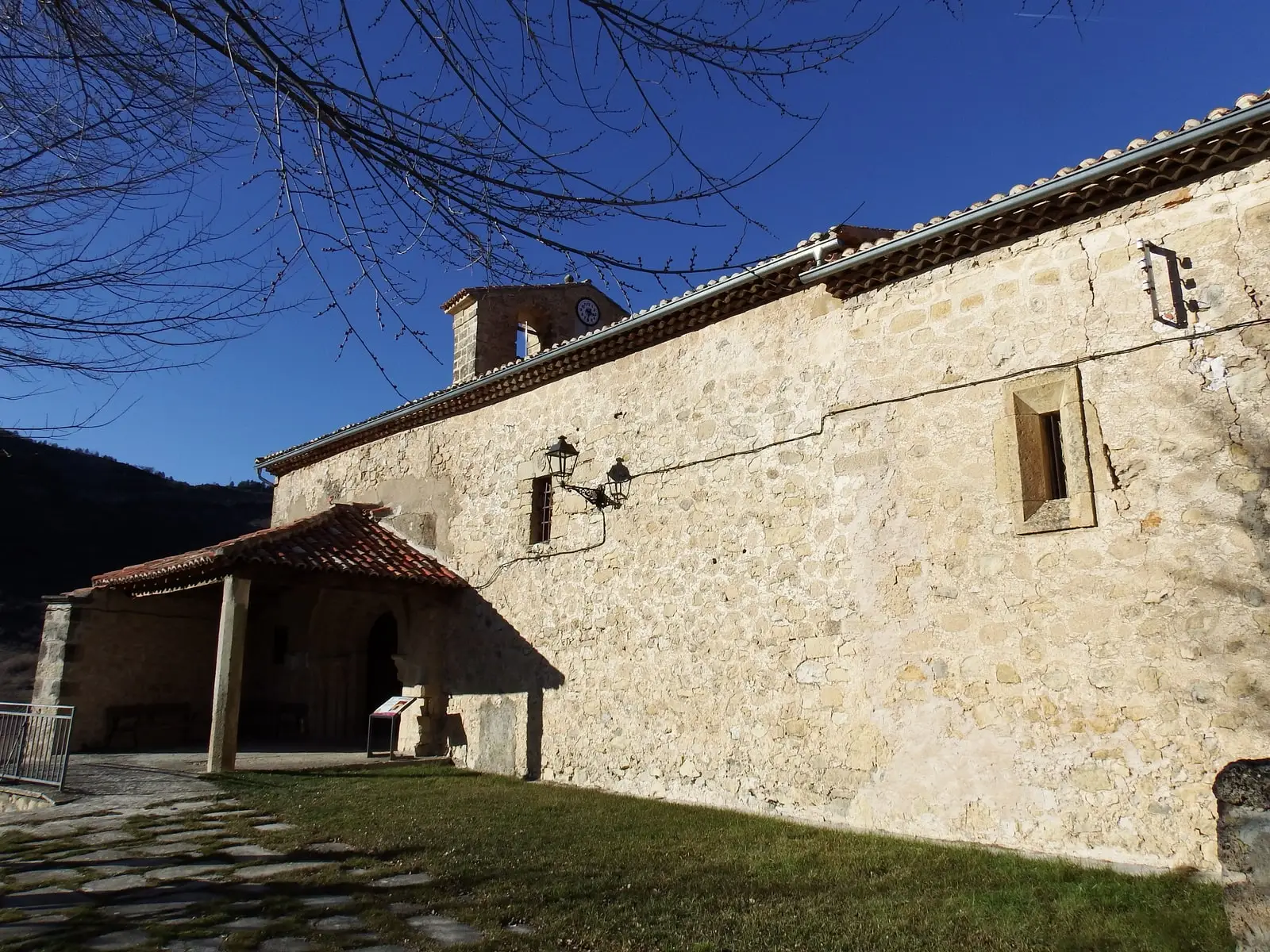
- Iglesia de San Pablo.
- Along the river, the recreation areas of Puente Colgante del Tajo and Fuente del Berro, shaded by black poplars.
- The information point of the Natural Park.
Routes
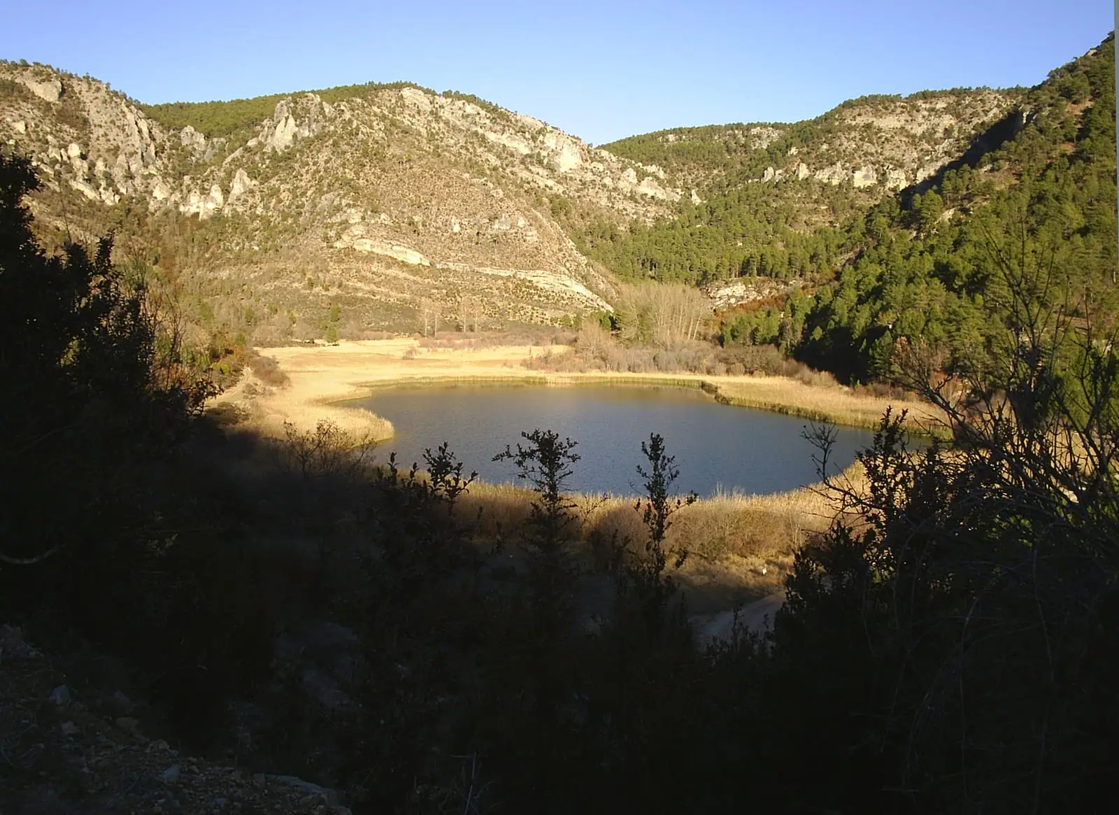
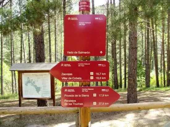
Sendero 10 to the waterfall and Laguna de Taravilla, and Georuta 7.
The village seen from school
In 2004, Alba, Noelia, and Violeta wrote about their school: two classrooms bringing together different ages, and excursions that started early in the morning by the petrol station. Poveda and Villanueva de Alcorón shared Christmas and end-of-term celebrations. In that recollection, the territory appears at the eye level of its pupils: journeys, theatre, and families preparing food together.
Places in and around Poveda de la Sierra
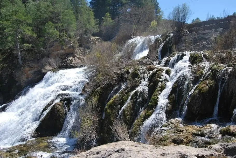
Salto de Poveda: The Largest Waterfall in Alto Tajo
Poveda de la Sierra, Taravilla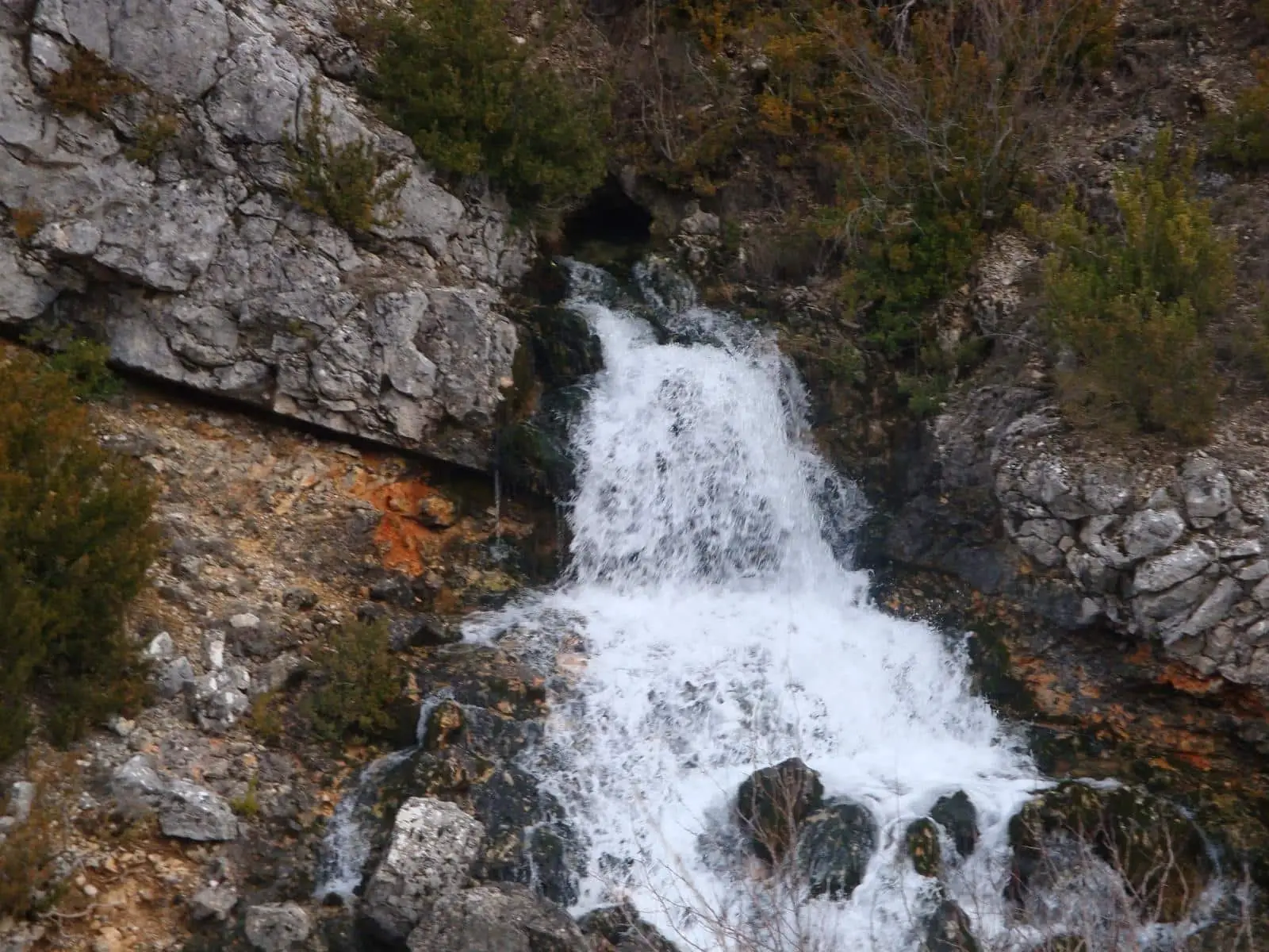
Bocanegra Resurgence (Ojal Morena), Poveda de la Sierra
Poveda de la Sierra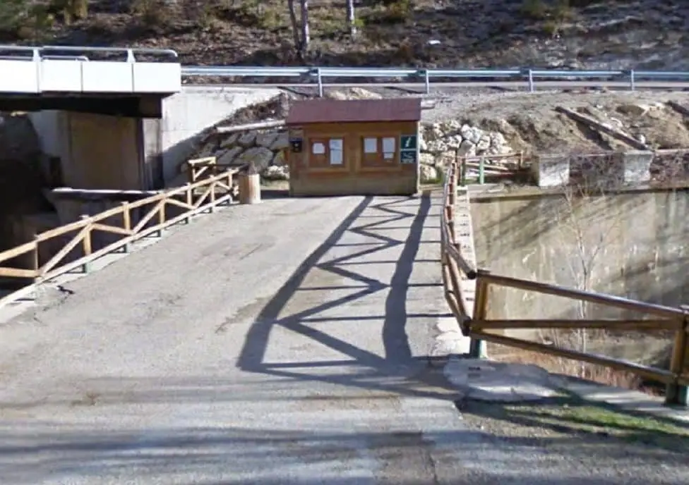
Poveda de la Sierra information point
Poveda de la Sierra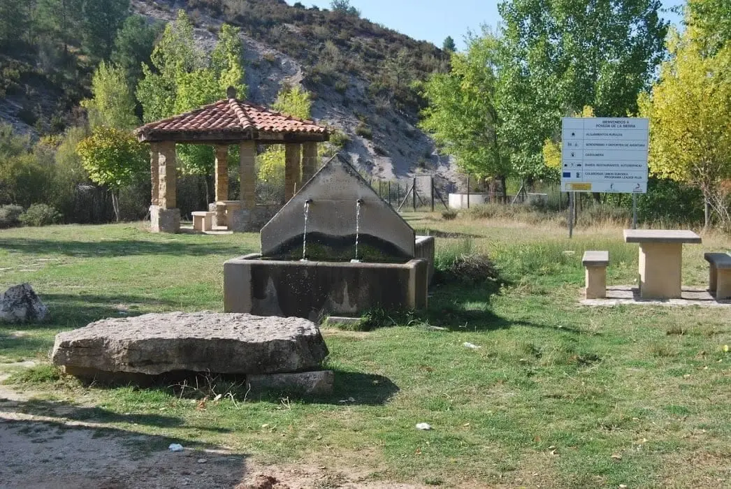
Poveda-Peñalén junction rest area
Poveda de la Sierra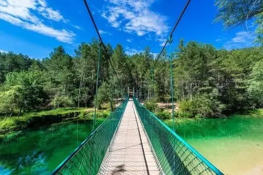
Puente Colgante del Tajo recreation area
Poveda de la SierraChurch of San Pablo and Ermita de los Remedios (Poveda de la Sierra)
Poveda de la SierraFuente del Berro recreation area (Poveda de la Sierra)
Poveda de la SierraRoutes linked to Poveda de la Sierra
Near Poveda de la Sierra
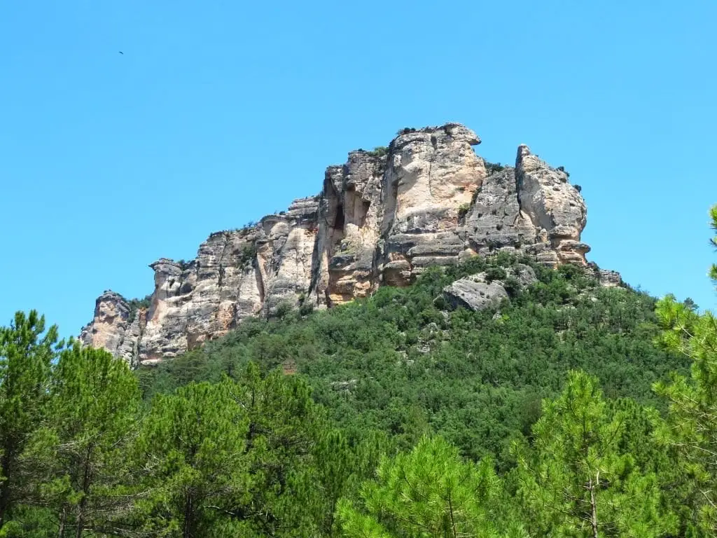
Muela del Conde (Taravilla): the boldest mountain in the Park
TaravillaPeñalén Mining Museum
PeñalenAbandoned meander of Hoya de la Parra (Taravilla)
Taravilla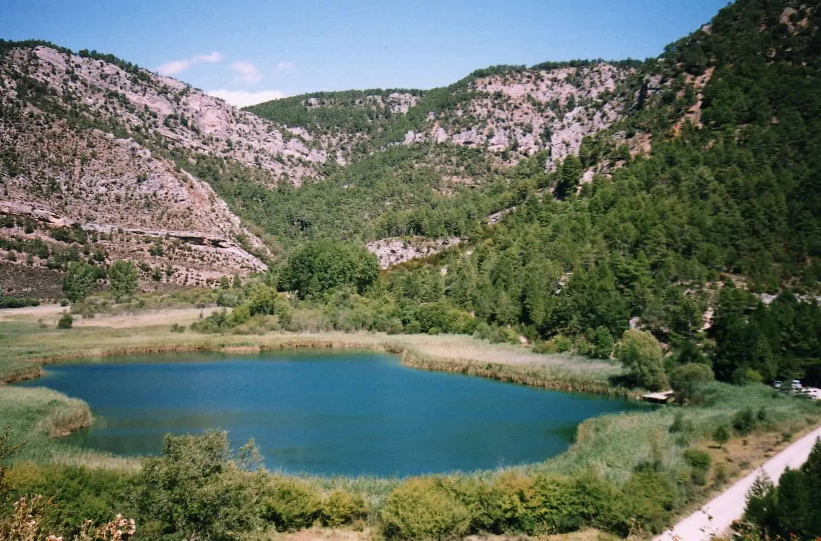
Laguna de Taravilla: an 11,000-year-old natural tufa dam
TaravillaPopulation of Poveda de la Sierra, 1842–2021
Poveda de la Sierra reached a peak of 534 inhabitants in 1950 . In the 2021 census there were 116 , a decrease of 78%. This is the history told in the emptying of the Alto Tajo.
Climate in Poveda de la Sierra month by month
2015–2024 averages from Copernicus ERA5 reanalysis for an altitude of approx. 1,189 m. Useful for planning, not a substitute for live forecasts.
Location
● Reference point · ● Villages · ● Places
Location diagram. Detailed map with tracks and names loads on zoom.
Reference villages: Peñalen · Valsalobre · Cueva del Hierro · Taravilla.
Open the full map and historical layers →