Village · Cuenca · 1,279 m
Carrascosa de la Sierra
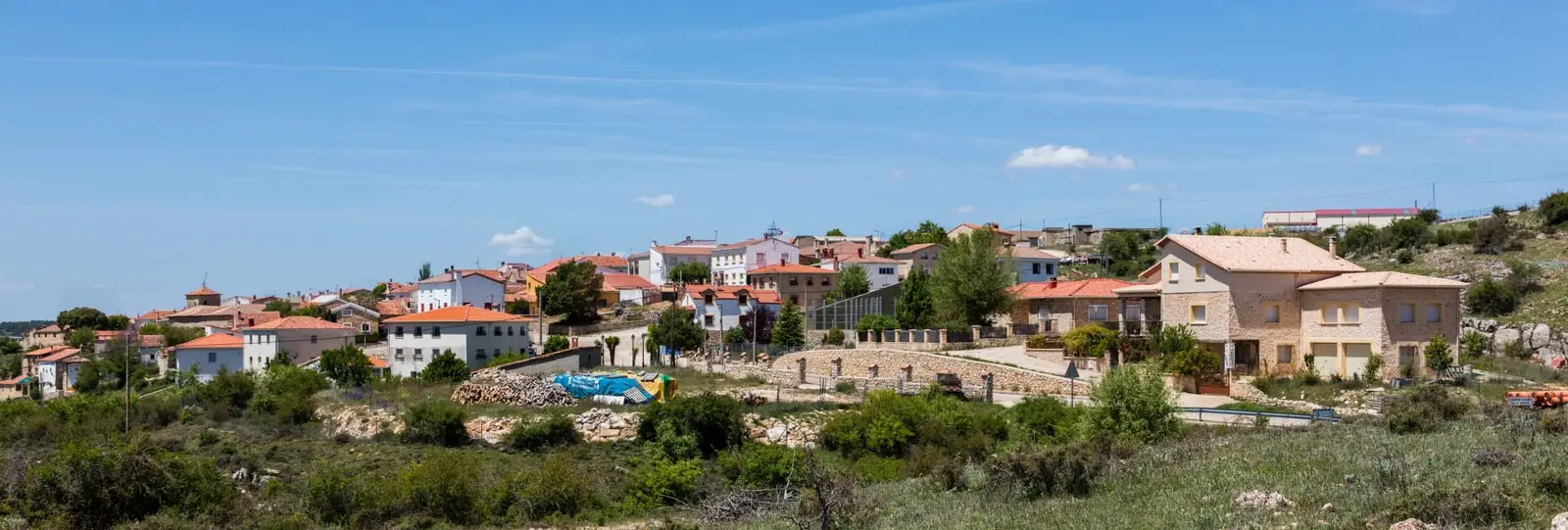
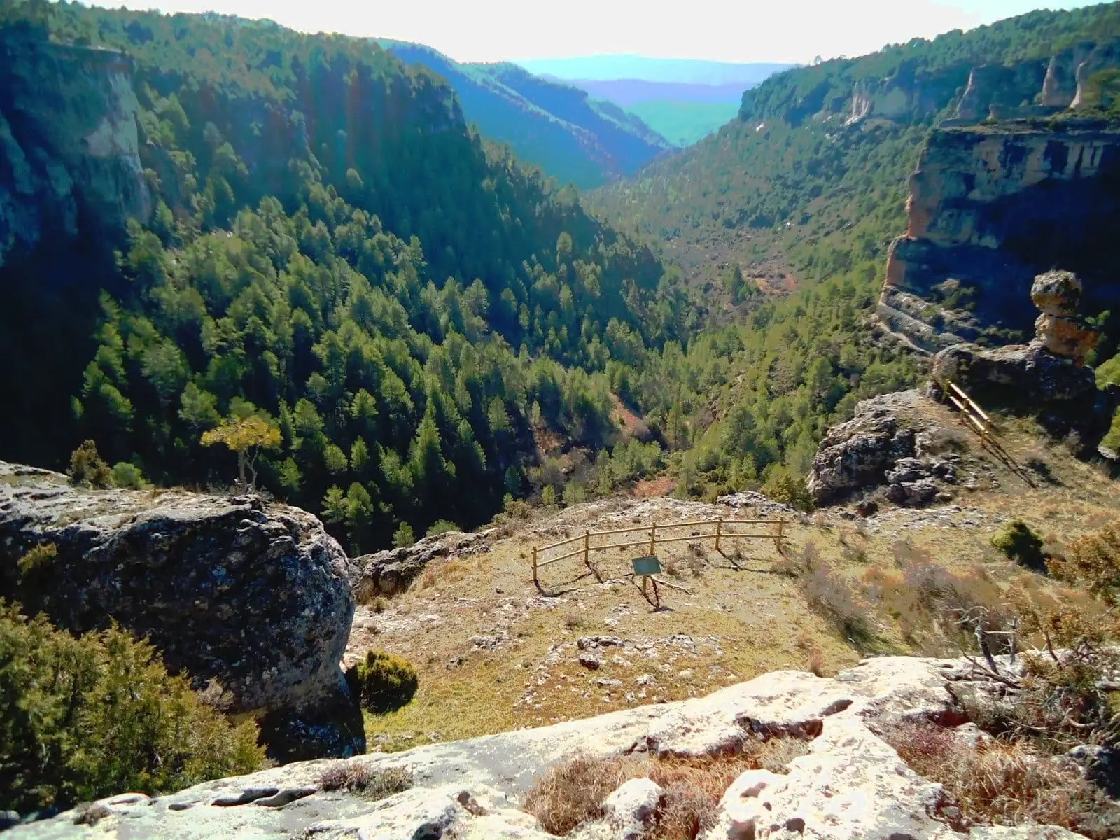
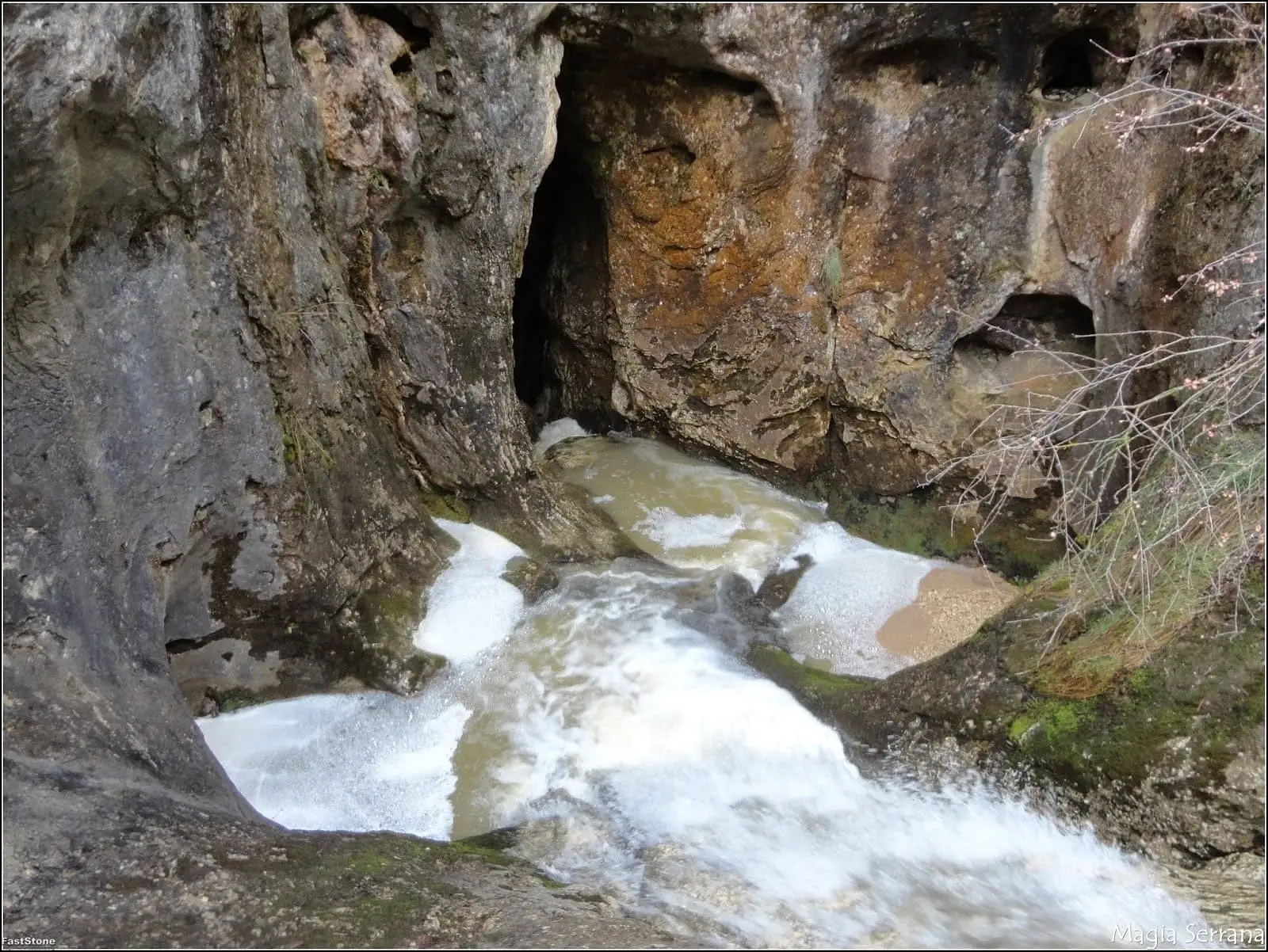
Carrascosa de la Sierra is a municipality in the Serranía de Cuenca on a cold, high plateau from which gorges descend to the Guadiela. Its territory includes the Hoz Somera, a lush ravine beside the ironworks of Santa Cristina, and the Matasnos sinkhole, where a stream plunges down a shaft over 120 metres deep.
What to see
- Barranco de la Hoz Somera, with rock faces up to 200 metres high draped in vegetation.
- Sumidero de Matasnos, part of the Hoz de Beteta Natural Monument.
Nearby
Beteta and the Hoz de Beteta.
Places in and around Carrascosa de la Sierra
Near Carrascosa de la Sierra
Hoz de Beteta: the Guadiela canyon in the Serranía de Cuenca
Beteta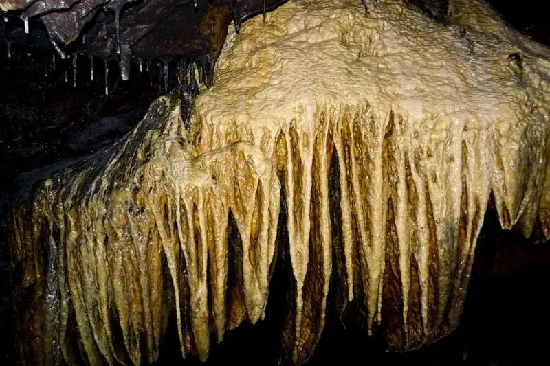
Cueva de la Ramera (Beteta): guided tour in Hoz de Beteta
Beteta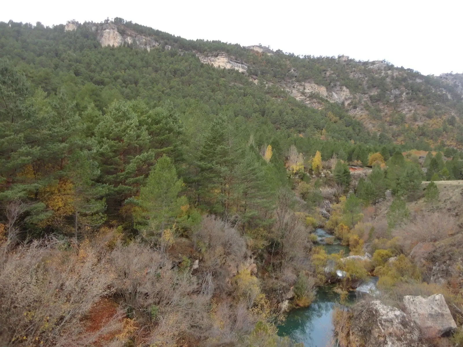
Dehesa de Belvalle (Beteta)
Beteta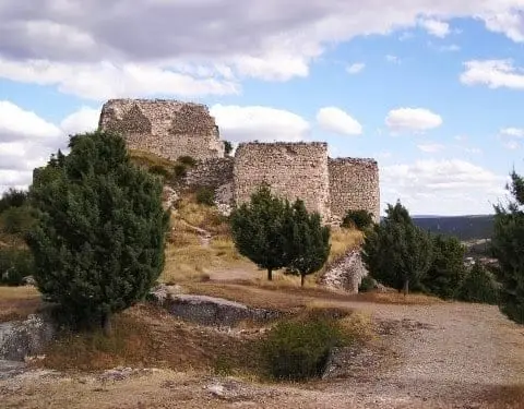
Castle of Rochafrida (Beteta): the fortress upon the black cliff
Beteta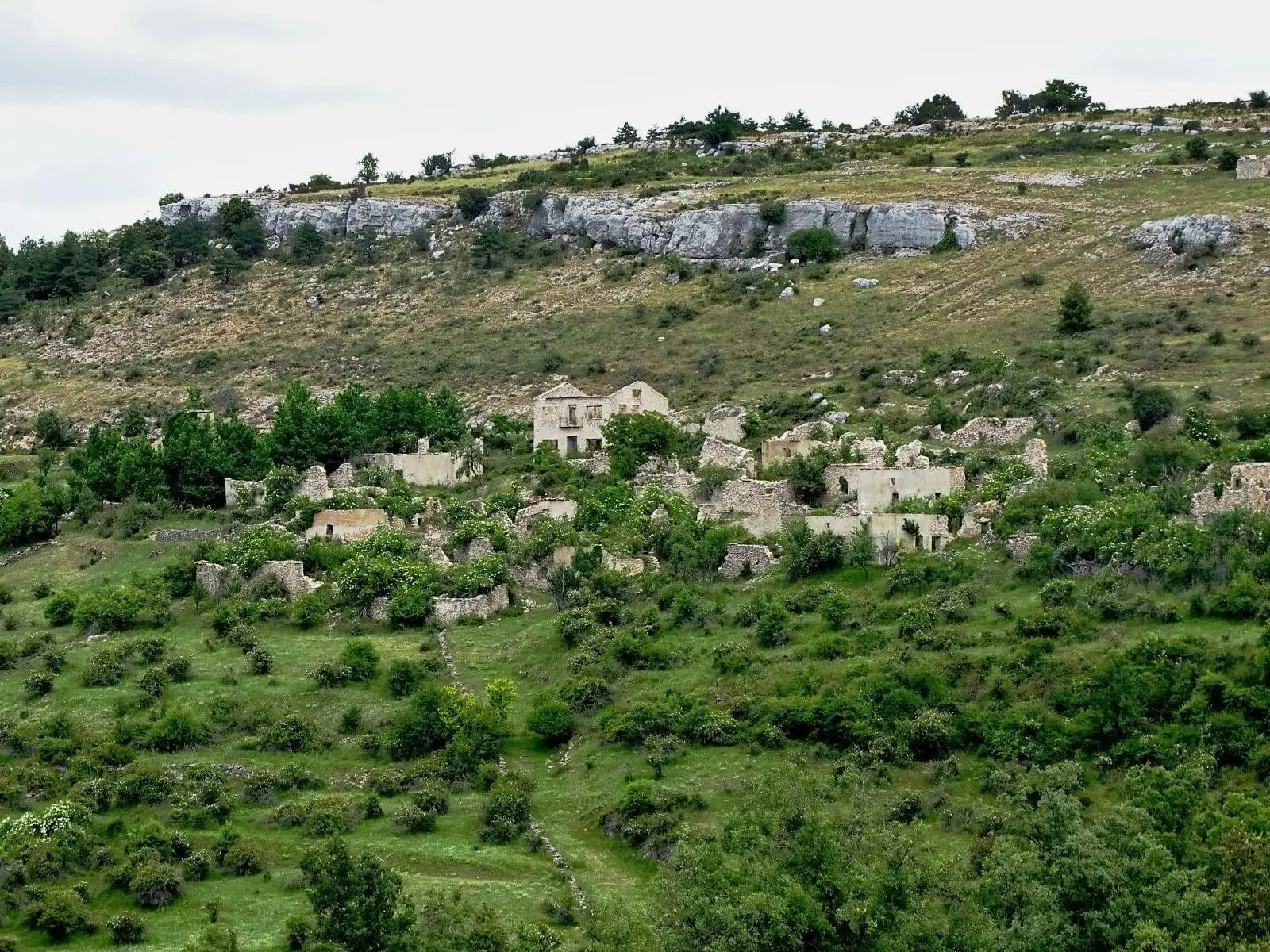
Valtablado de Beteta: an abandoned village in the Serranía
Beteta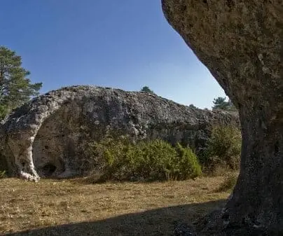
Serrezuela de Valsalobre: The Densest Chasm Area in Spain
Valsalobre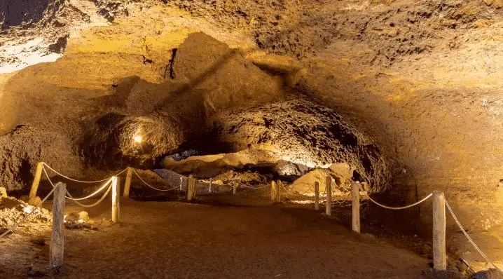
Roman mine of Cueva del Hierro: 2,500 years of iron mining
Cueva del Hierro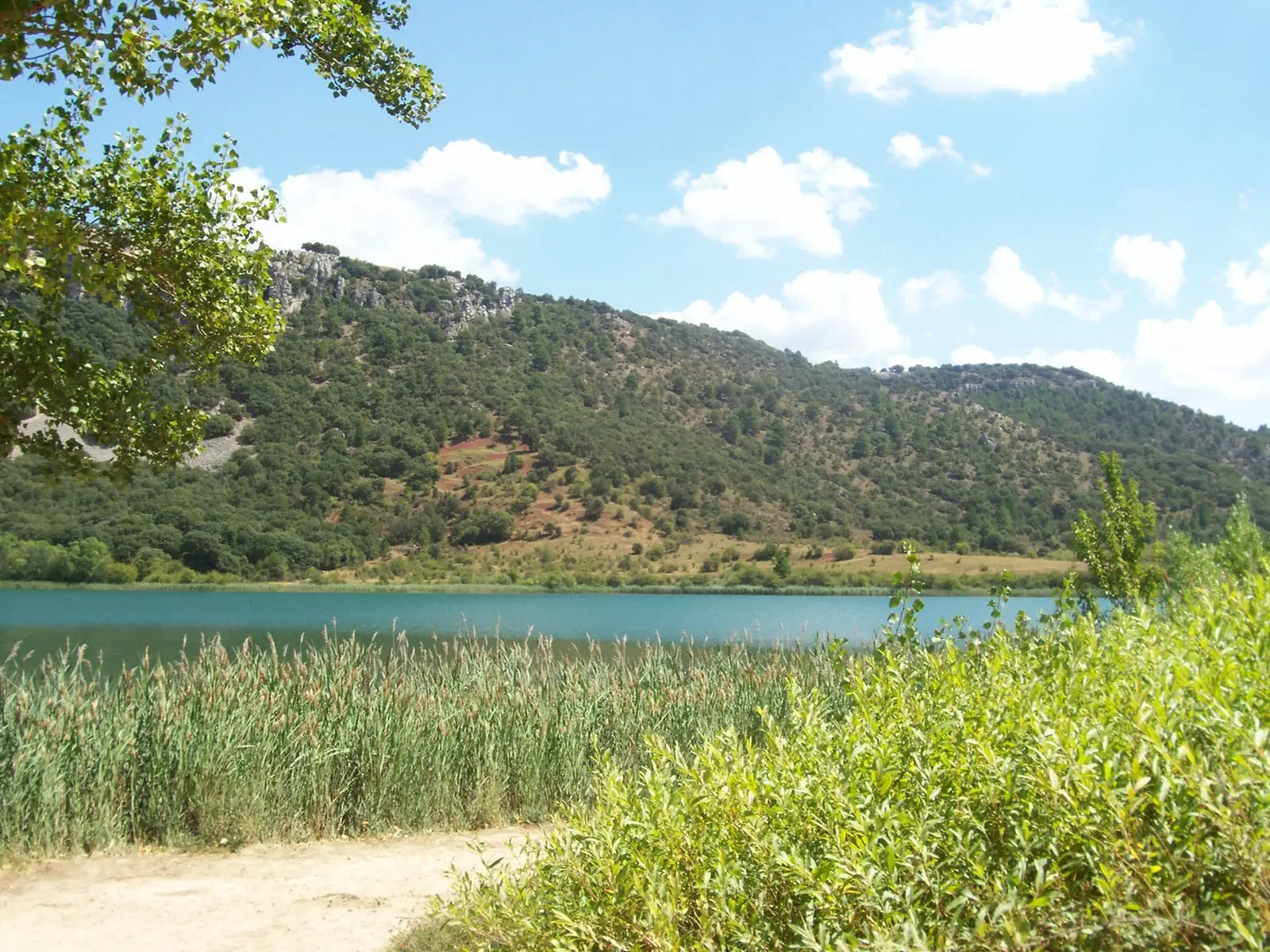
Laguna Grande de El Tobar (Beteta): a lake with saltwater at the bottom
BetetaPopulation of Carrascosa de la Sierra, 1842–2021
Carrascosa de la Sierra reached a peak of 284 inhabitants in 1842 . In the 2021 census there were 17 , a decrease of 94%. This is the history told in the emptying of the Alto Tajo.
Climate in Carrascosa de la Sierra month by month
2015–2024 averages from Copernicus ERA5 reanalysis for an altitude of approx. 1,279 m. Useful for planning, not a substitute for live forecasts.
Location
● Reference point · ● Villages · ● Places
Location diagram. Detailed map with tracks and names loads on zoom.
Reference villages: Valsalobre · Beteta · Cueva del Hierro · Peñalen.
Open the full map and historical layers →