Route · Campillo de Dueñas
Georuta 10: Geotrail 10: Sierra de Caldereros (Campillo de Dueñas)
Georuta 10 of the Molina-Alto Tajo Geopark covers around 15 km from lagoons at the foot of Sierra de Caldereros to its summit, exploring sandstone relief and local resources. Forest tracks by car (1.5 h) or bike (2 h); stops 7, 8, and 9 are on foot only.
- Code
- Georuta 10
- Distance
- 15 km
- Duration
- 5 h
- Difficulty
- Moderate
Walking duration without transfers or stops. Difficulty estimated from distance and elevation when no official classification exists. “Easy” does not imply wheelchair or stroller accessibility.
- Georuta 10
- Geopark
- Final stops on foot
- Eastern Geopark viewpoint
Through the mountain range
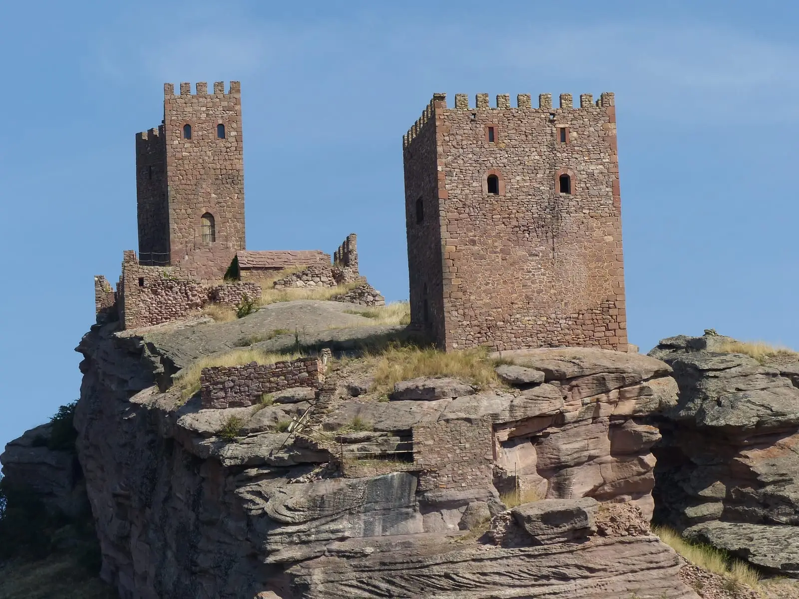
The Sierra de Caldereros, in the municipality of Campillo de Dueñas, is a landscape of red sandstone with pinnacles and sculpted forms. The georoute climbs from the lagoons at the mountain base to the summit, where a final viewpoint overlooks the eastern edge of the Geopark. In the range stands also the Castillo de Zafra.
Recommendations
The unpaved tracks can present difficult passages for motor vehicles: maintain low speeds and watch for obstacles. Stops 7, 8, and 9 are accessible only on foot. Completing the entire route on foot takes approximately 5 hours. The Geopark provides the brochure and GPS track on its website.
Before you set out
Carry water, mountain footwear, and download the GPS track in advance: mobile reception is absent in many areas. Check the forecast on Today in the Alto Tajo and the official trail sheet for notices and closures, and respect seasonal restrictions during raptor breeding periods.
Official route · Geoparque Mundial UNESCO Molina-Alto Tajo. Description, track and notices on the official guide. Before setting out, verify there whether changes or closures apply.
Location
● Reference point · ● Villages · ● Places
Location diagram. Detailed map with tracks and names loads on zoom.
Approximate position: village centre.
This guide displays the reference location; no route track is available.
Reference villages: Campillo de Dueñas · La Yunta · Cubillejo de la Sierra · Hombrados.
Open the full map and historical layers →