Protected area
Sierra de Caldereros: Red Sandstone and Zafra Castle
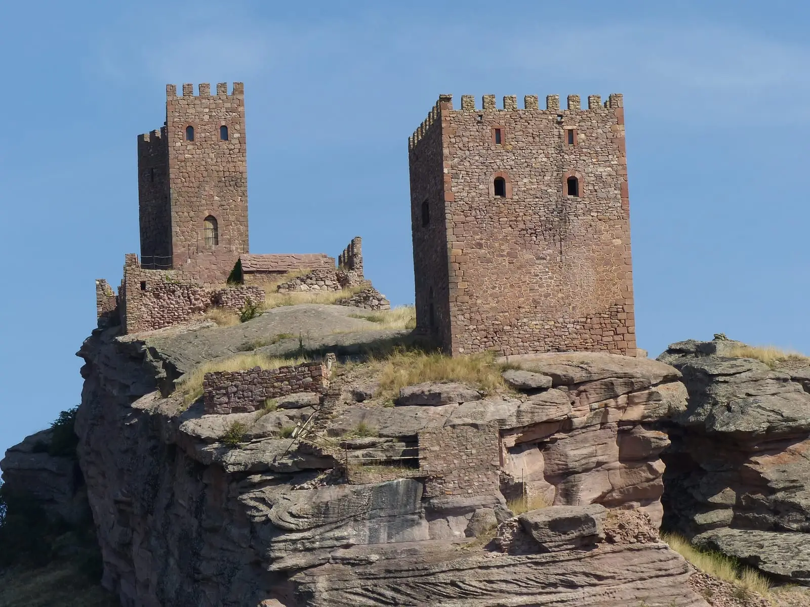
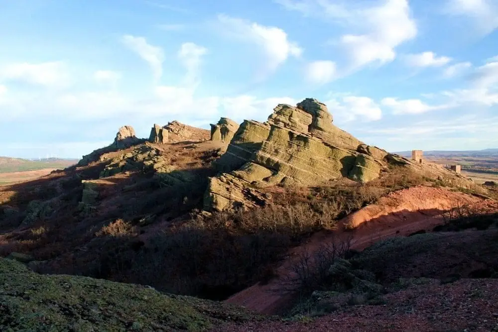
The Sierra de Caldereros is one of the westernmost ranges of the Iberian System, spanning about 2,368 hectares northeast of Guadalajara between Molina de Aragón and Hombrados. Its highest summit is Pico del Águila at 1,443 metres, formed of red sandstones and conglomerates creating rugged relief above the parameras. It shelters the castle of Zafra.
- Altitude
- 1,378 m
- 2,368 ha
- Natural Monument (2005)
- Red sandstone
- Zafra Castle
- Georoute 10
A red sandstone ridge
It rises with a northwest-southeast orientation above the parameras of the Señorío de Molina, from Molina de Aragón to Hombrados. Its hills are not very prominent, but its red sandstone creates a rugged landscape of escarpments and blocks, related to Las Quebradas or the Barranco de la Hoz.
What to see
The Castillo de Zafra, perched on a rock cliff, and Georuta 10, which runs through the range.
Location
● Reference point · ● Villages · ● Places
Location diagram. Detailed map with tracks and names loads on zoom.
Reference villages: Hombrados · Castellar de la Muela · Campillo de Dueñas · Morenilla.
Open the full map and historical layers →