Village · Guadalajara · 1,236 m
Hombrados
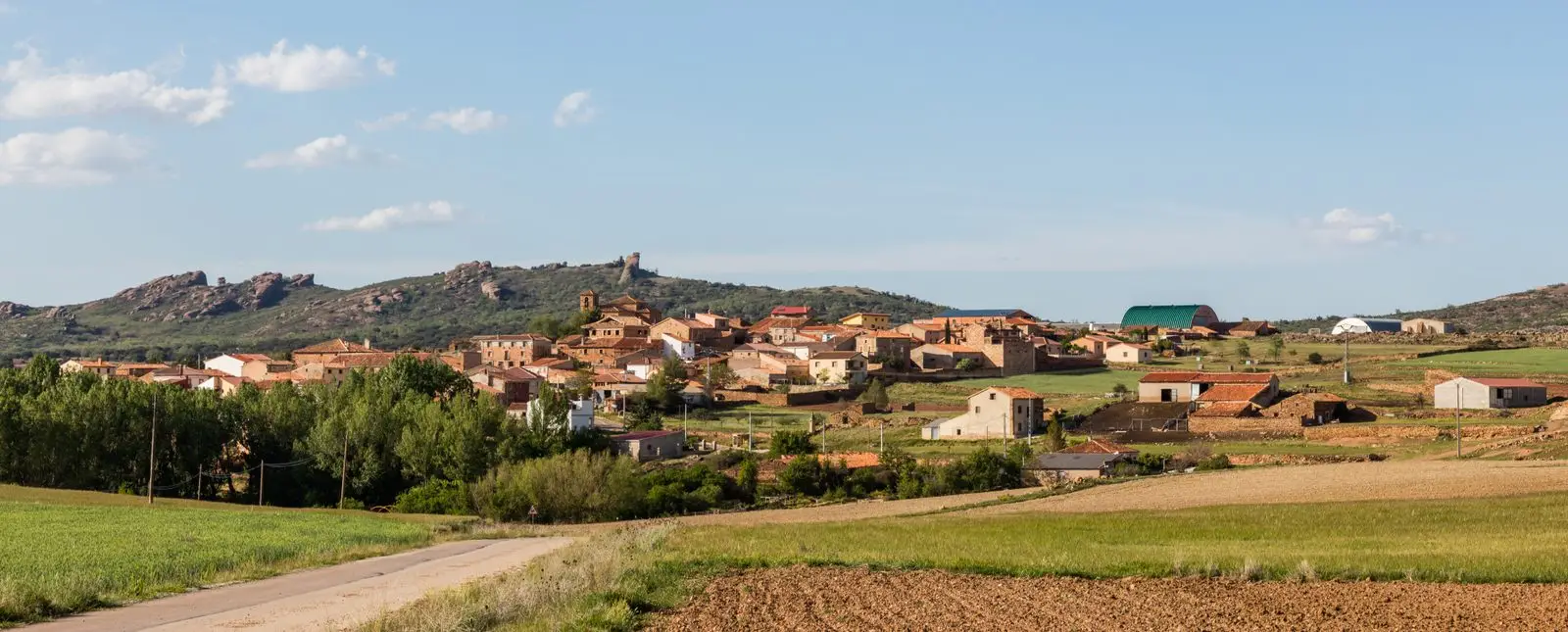
Hombrados is a village at about 1,240 metres on a high plain at the foot of the Castillejos de Zafra ridge, in the Sierra de Caldereros beside the N-211. It likely originated during the 12th and 13th-century resettlement. Today its streets form an open-air museum of farming machinery. In 2015 it appeared in news reports for Game of Thrones filming.
Lands and landscapes
From here, follow the memory of the territory
These readings connect Hombrados with the history, work, and villages around it.
What to see in Hombrados
- The Museo Abierto, featuring agricultural machinery and implements placed along the streets.
- The ridge of the Castillejos de Zafra, at whose base the village sits, with Pico San Segundo (1,353 m) and Cerro Bétera (1,402 m).
History
Historian Antonio Herrera Casado suggests it likely originated during the 12th and 13th-century repopulation. In the mid-19th century it had about 124 inhabitants, reaching nearly four hundred by 1950. In late September 2015 the village was featured in the news for the filming of Game of Thrones in the area, using the castillo de Zafra as a location. Between Hombrados and El Pobo, the Caldereros wind farm has operated since 2008.
Nearby
Morenilla, two and a half kilometres away; El Pobo de Dueñas and Castellar de la Muela.
Places in and around Hombrados
Near Hombrados
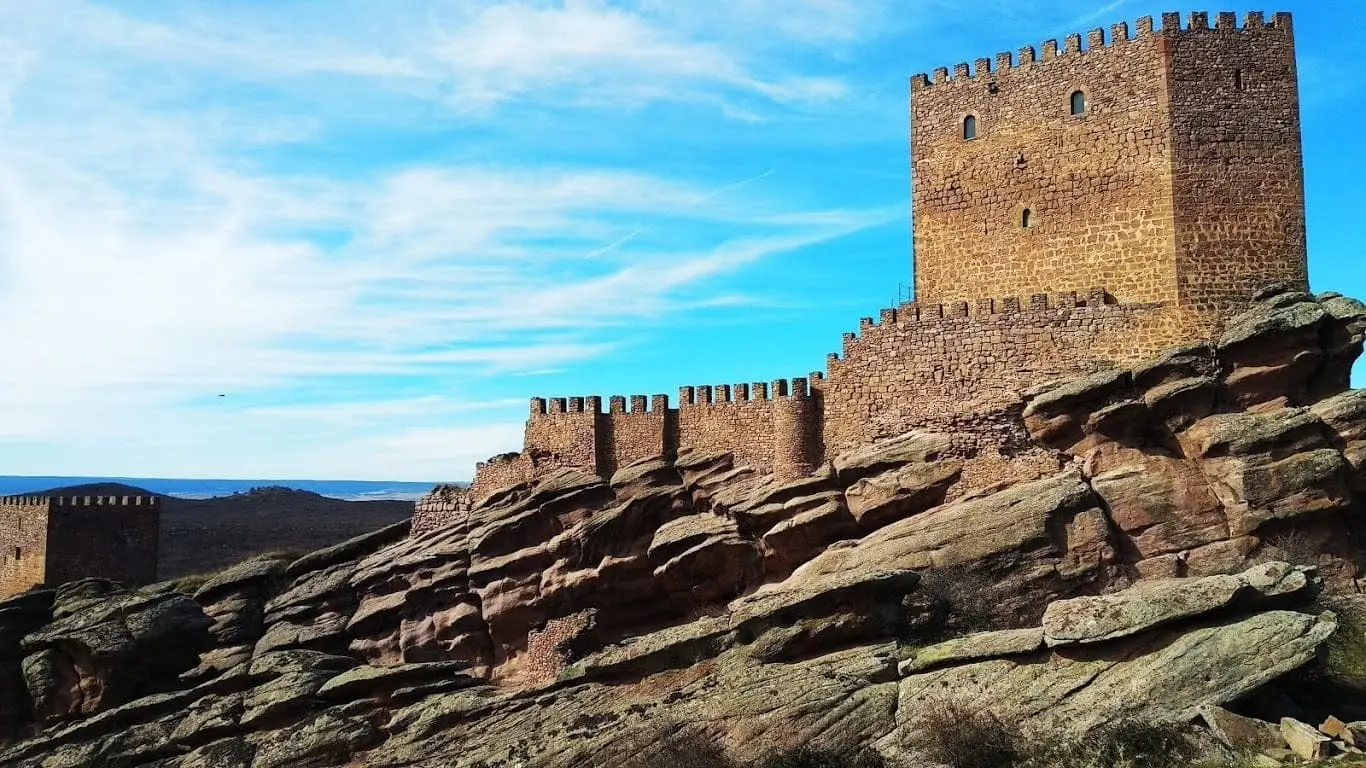
Castle of Zafra: the rock fortress of the Sierra de Caldereros
Ethnographic Museum of El Pobo de Dueñas
El Pobo de Dueñas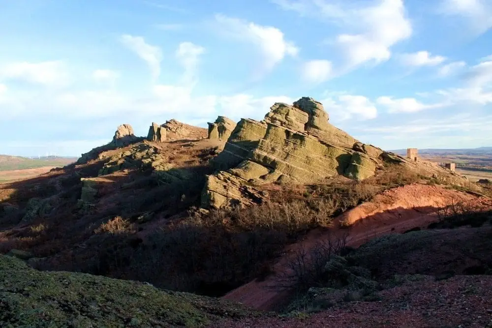
Sierra de Caldereros: Red Sandstone and Zafra Castle
Hermitage of the Virgen de la Carrasca: Romanesque in Sierra de Caldereros
Castellar de la MuelaCastro de La Coronilla (Chera): an excavated Celtiberian hillfort
CheraCastro de El Castillejo (Anquela del Pedregal): two enclosures upon a hill
Anquela del Pedregal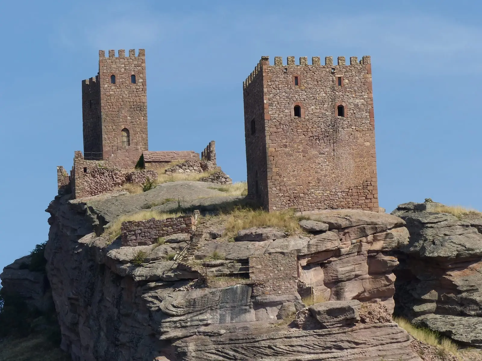
Geotrail 10: Sierra de Caldereros (Campillo de Dueñas)
15 km · 5 hPairones of El Pedregal
El PedregalPopulation of Hombrados, 1842–2021
Hombrados reached a peak of 409 inhabitants in 1940 . In the 2021 census there were 39 , a decrease of 90%. This is the history told in the emptying of the Alto Tajo.
Climate in Hombrados month by month
2015–2024 averages from Copernicus ERA5 reanalysis for an altitude of approx. 1,236 m. Useful for planning, not a substitute for live forecasts.
Location
● Reference point · ● Villages · ● Places
Location diagram. Detailed map with tracks and names loads on zoom.
Reference villages: Morenilla · El Pobo de Dueñas · Castellar de la Muela · Chera.
Open the full map and historical layers →