Village · Guadalajara · 1,212 m
Castellar de la Muela
Castellar de la Muela is a small village at over 1,200 metres at the foot of the Sierra de Caldereros, beside the N-211 east of Molina. It has one of the coldest climates in the Señorío, with marked contrasts between day and night. Its notable landmark is the 12th-century Romanesque hermitage of the Virgen de la Carrasca.
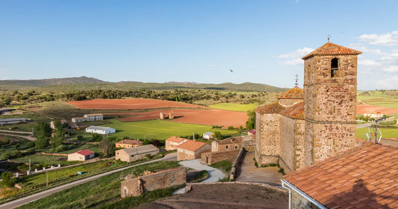
Traces in the village and its surroundings
Which eras you can read here
A single place can preserve traces from different eras. These layers connect what you see with the stories in the atlas.
What to see in Castellar de la Muela
- The hermitage of the Virgen de la Carrasca, a 12th-century Romanesque building standing isolated on the high plain.
- The Sierra de Caldereros, stretching out at the foot of the village, rising to around 1,430 metres near Pico Lituero.
A climate of extremes
Castellar stands at about 1,220 metres, with no sheltering mountains and sparse vegetation. The result is a continental climate of very cold winters, hot summers, and scarce rainfall, with diurnal temperature differences of around 17 degrees Celsius. Until 1916 the village was called simply Castellar.
Nearby
Chera and the castro de La Coronilla are three kilometres away; Prados Redondos and Hombrados, with its open-air museum, lie a little further.
Places in and around Castellar de la Muela
Near Castellar de la Muela
Castro de La Coronilla (Chera): an excavated Celtiberian hillfort
Chera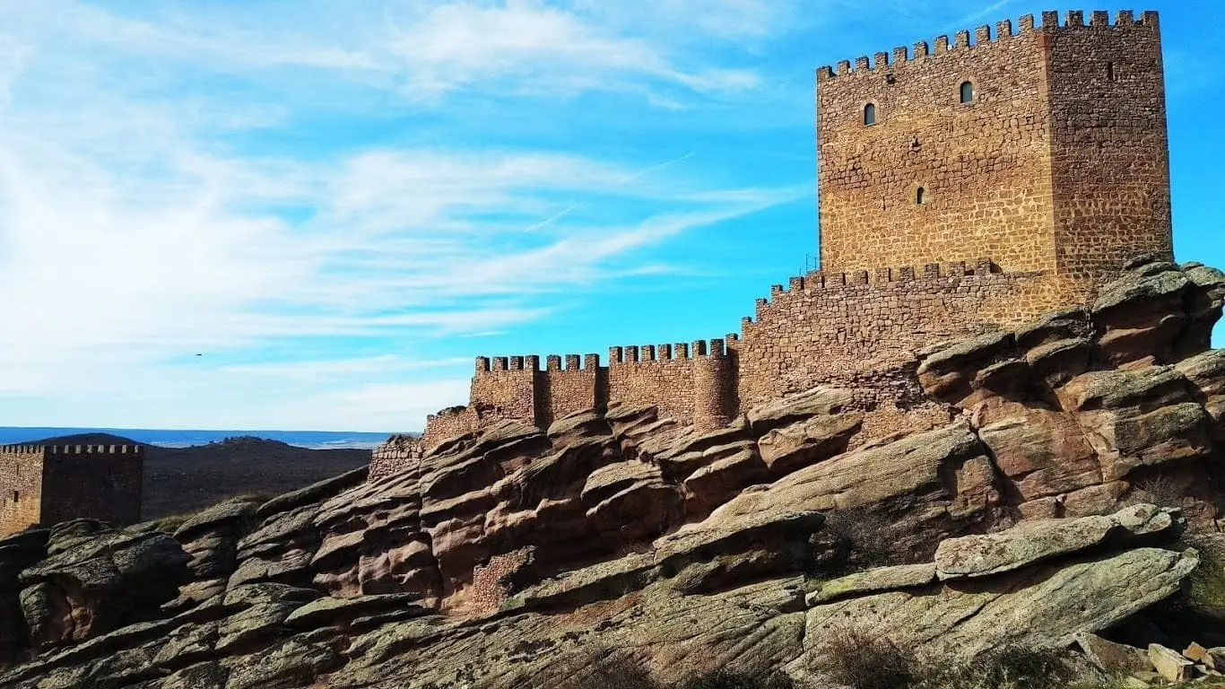
Castle of Zafra: the rock fortress of the Sierra de Caldereros
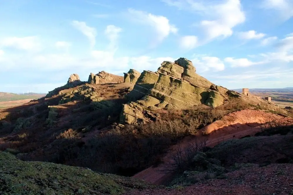
Sierra de Caldereros: Red Sandstone and Zafra Castle
Hombrados Open-Air Museum: farm machinery in the streets
HombradosPonce de León Tower (Cubillejo de la Sierra) and its Museum
Cubillejo de la Sierra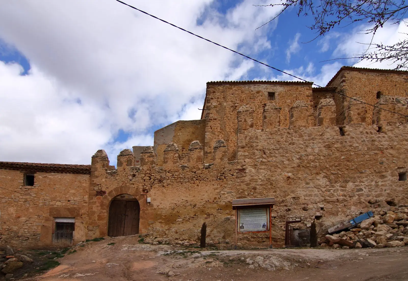
Castle of Castilnuevo: from fortress to palatial manor
CastilnuevoCastro de El Castillejo (Anquela del Pedregal): two enclosures upon a hill
Anquela del PedregalPairón de San Juan Bautista (Cubillejo del Sitio)
Cubillejo del SitioPopulation of Castellar de la Muela, 1842–2021
Castellar de la Muela reached a peak of 298 inhabitants in 1940 . In the 2021 census there were 33 , a decrease of 89%. This is the history told in the emptying of the Alto Tajo.
Climate in Castellar de la Muela month by month
2015–2024 averages from Copernicus ERA5 reanalysis for an altitude of approx. 1,212 m. Useful for planning, not a substitute for live forecasts.
Location
● Reference point · ● Villages · ● Places
Location diagram. Detailed map with tracks and names loads on zoom.
Reference villages: Chera · Prados Redondos · Morenilla · Hombrados.
Open the full map and historical layers →