Village · Guadalajara · 1,105 m
La Yunta
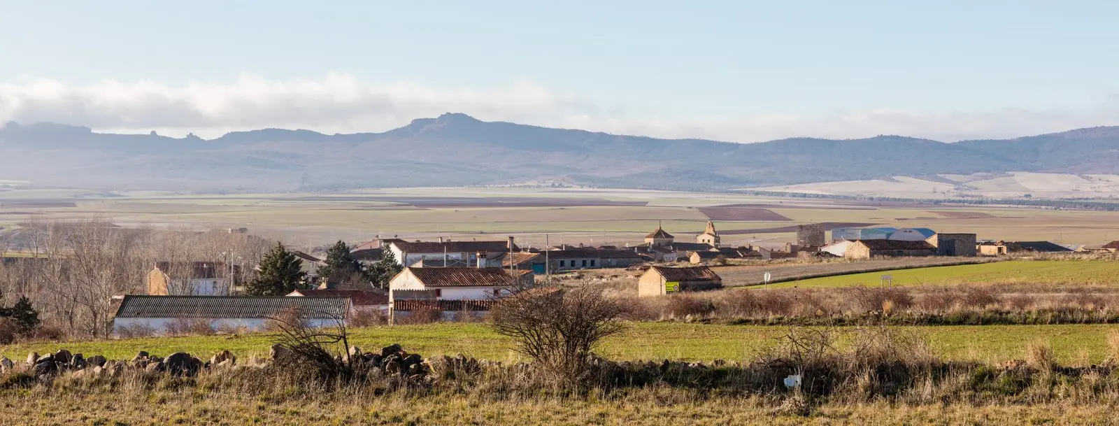
La Yunta, at about 1,100 metres at the eastern end of Guadalajara, sits on the border with Aragon near Gallocanta. It received a charter in 1154 and later belonged to the Order of Saint John, leaving a 15-metre medieval tower housing an ethnographic museum. Its seasonal lagoons belong to the Natura 2000 Network and attract cranes.
Traces in the village and its surroundings
Which eras you can read here
A single place can preserve traces from different eras. These layers connect what you see with the stories in the atlas.
What to see in La Yunta
- The tower of La Yunta, from the 13th-14th centuries, with a small ethnographic museum maintained by the women’s association.
- The lagoons of La Yunta: Méndez, Llana, and Nueva, a refuge for cranes and steppe birds.
- The church of Santa María la Mayor.
- The Celtiberian necropolis, with 268 graves.
On the border
La Yunta is the easternmost village in the province of Guadalajara, at about 1,100 metres, between the Sierra de Caldereros and the basin of Gallocanta. Linguist Joan Coromines suggests its name derives from juntar (to join), perhaps referencing the meeting of two watercourses. It received a charter in 1154 within the Señorío, later passing to the Order of Saint John.
Nearby
Campillo de Dueñas and the castillo de Zafra, Embid and its castle, and Cubillejo de la Sierra.
Places in and around La Yunta
Near La Yunta
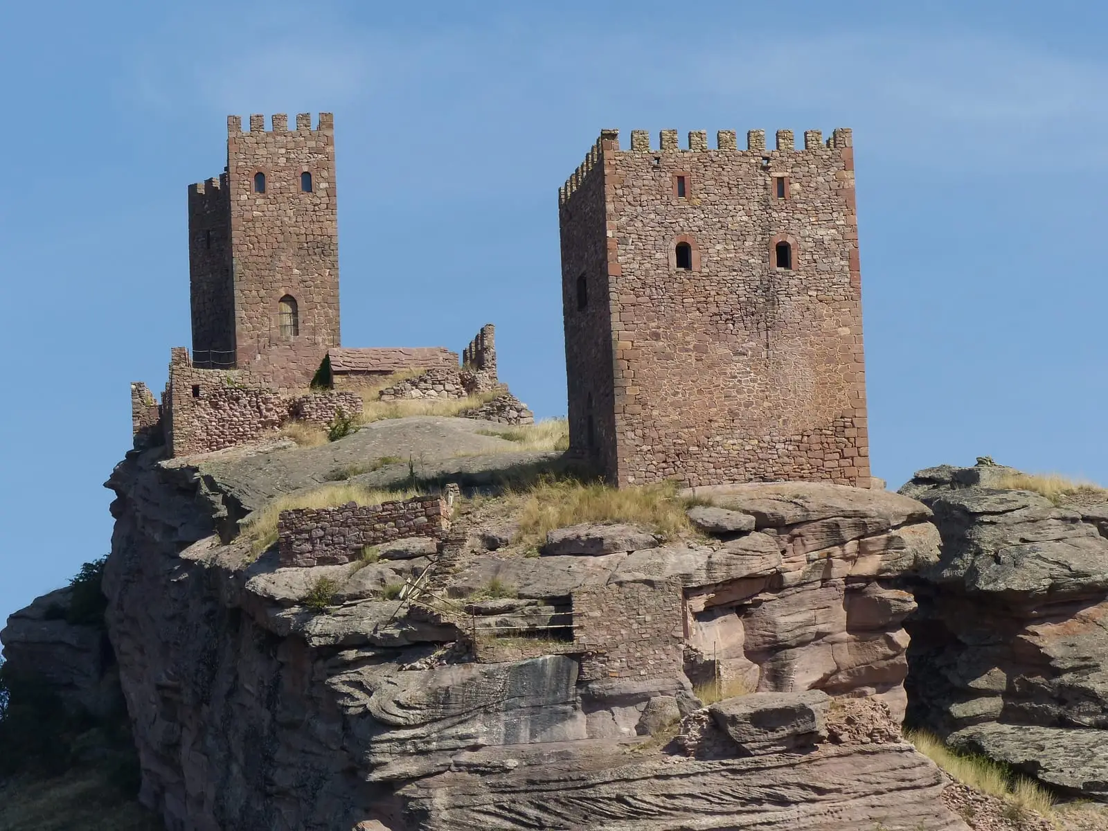
Geotrail 10: Sierra de Caldereros (Campillo de Dueñas)
15 km · 5 h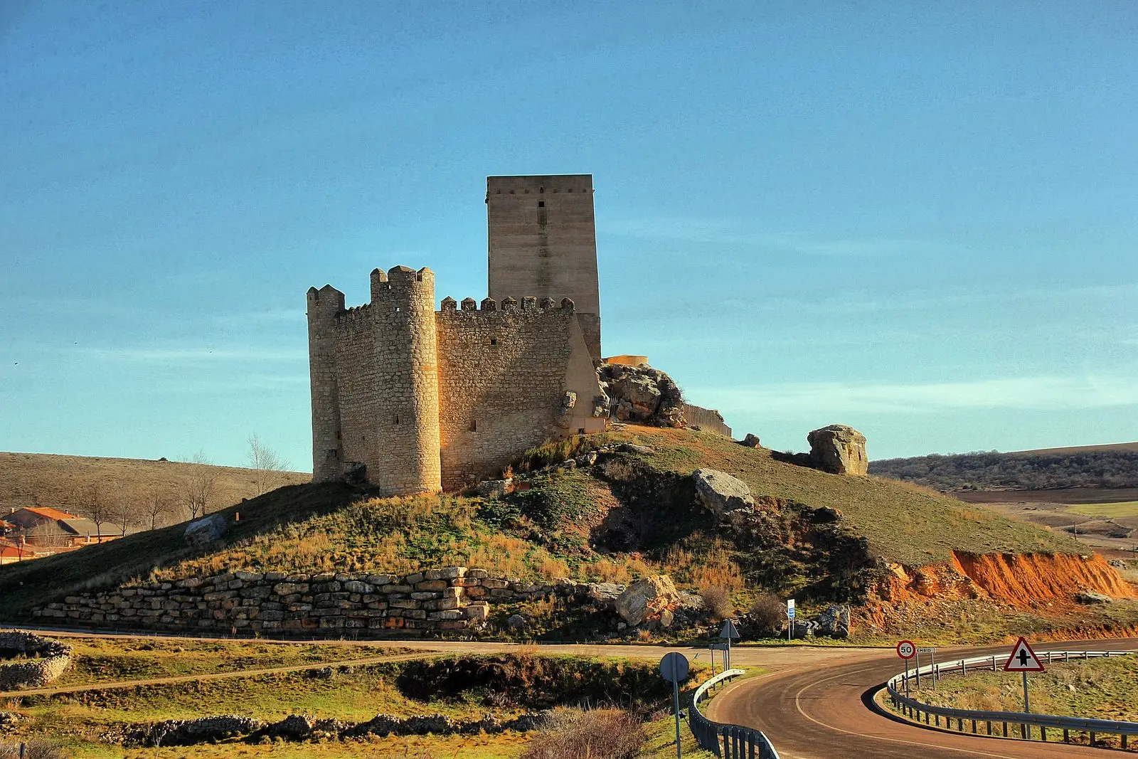
Castle of Embid: the pentagonal stronghold of the Aragon frontier
EmbidPonce de León Tower (Cubillejo de la Sierra) and its Museum
Cubillejo de la SierraLos Rodiles (Cubillejo de la Sierra): an oppidum facing Rome
Cubillejo de la Sierra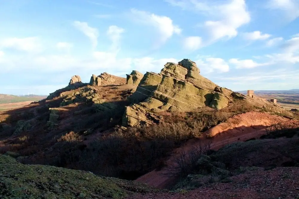
Sierra de Caldereros: Red Sandstone and Zafra Castle
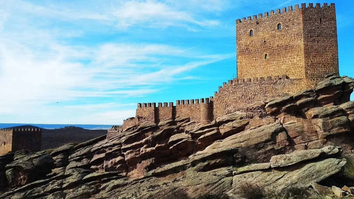
Castle of Zafra: the rock fortress of the Sierra de Caldereros
Pairón de San Juan Bautista (Cubillejo del Sitio)
Cubillejo del Sitio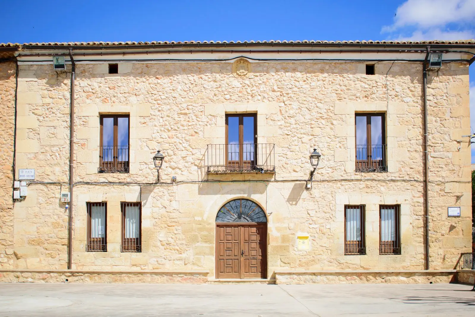
Molina-style manor houses of Tortuera
TortueraPopulation of La Yunta, 1842–2021
La Yunta reached a peak of 624 inhabitants in 1940 . In the 2021 census there were 92 , a decrease of 85%. This is the history told in the emptying of the Alto Tajo.
Climate in La Yunta month by month
2015–2024 averages from Copernicus ERA5 reanalysis for an altitude of approx. 1,105 m. Useful for planning, not a substitute for live forecasts.
Location
● Reference point · ● Villages · ● Places
Location diagram. Detailed map with tracks and names loads on zoom.
Reference villages: Campillo de Dueñas · Cubillejo de la Sierra · Embid · Cubillejo del Sitio.
Open the full map and historical layers →