Village · Guadalajara · 1,083 m
Embid
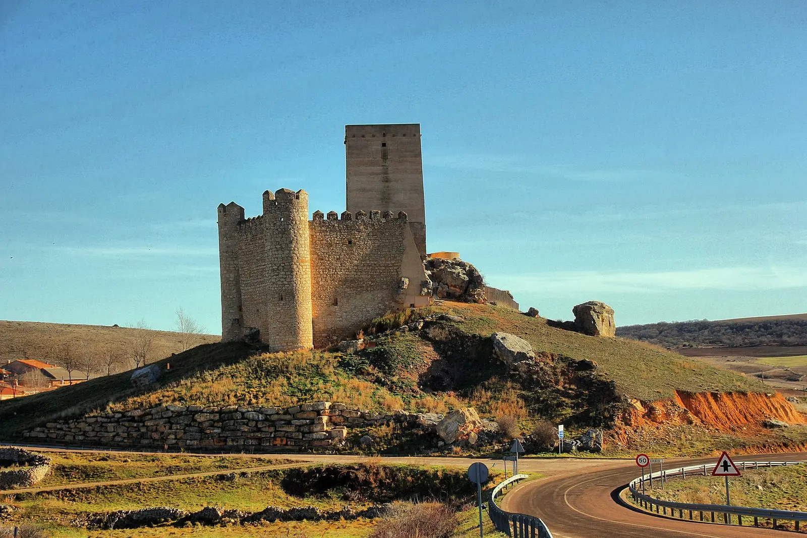
Embid is a small village at about 1,080 metres in the northeastern corner of the Señorío, on the border with Aragon. Its pentagonal castle, built from 1331 and remodeled in the 15th century, is one of the most distinctive in Guadalajara. In the mid-19th century the town had around 160 inhabitants; today, a few dozen.
Traces in the village and its surroundings
Which eras you can read here
A single place can preserve traces from different eras. These layers connect what you see with the stories in the atlas.
What to see in Embid
- The castle of Embid, with its pentagonal layout and three surviving crenellated cylindrical towers. Diego Ordóñez de Villaquirán ordered it built under licence from Alfonso XI in 1331.
On the border
Embid lies on the border with Aragon, in the eastern paramera of the Señorío at about 1,080 metres. Its castle provided refuge to Castilians during wars with the neighbouring kingdom. Madoz recorded around 160 inhabitants in the mid-19th century.
Nearby
La Yunta, with its tower and lagoons, and Tortuera, with its stone mansions, are about seven kilometres away.
Places in and around Embid
Routes linked to Embid
Near Embid
Lagoons of Tortuera: the wetland trail of the high plateau
TortueraTorre de La Yunta: Tower of the Order of Saint John
La YuntaCeltiberian necropolis of La Yunta: 268 graves on the Aragon border
La Yunta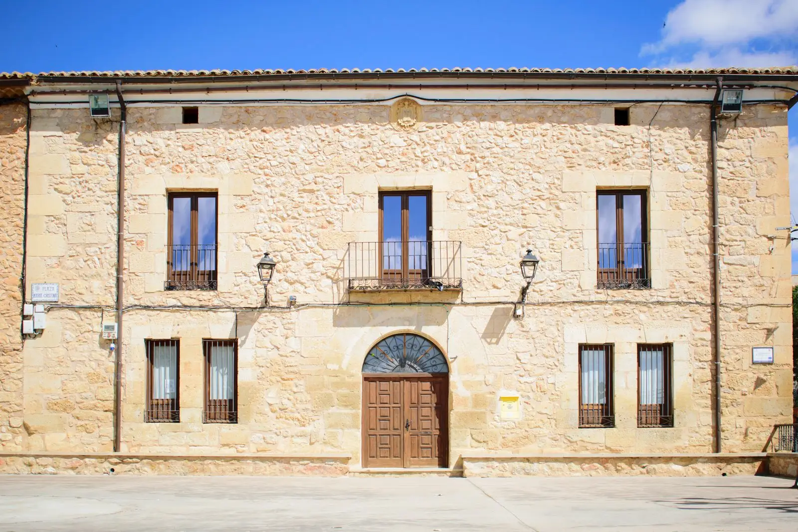
Molina-style manor houses of Tortuera
TortueraLagunas y parameras del Señorío de Molina: Natura 2000 wetland plains
TortueraLagoons of La Yunta: cranes and steppe birds near Gallocanta
La Yunta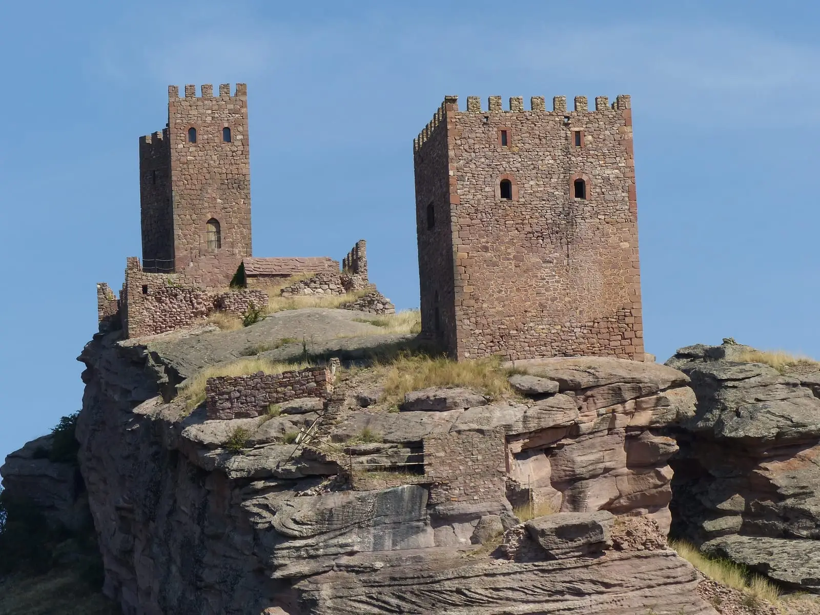
Geotrail 10: Sierra de Caldereros (Campillo de Dueñas)
15 km · 5 hLos Rodiles (Cubillejo de la Sierra): an oppidum facing Rome
Cubillejo de la SierraPopulation of Embid, 1842–2021
Embid reached a peak of 300 inhabitants in 1940 . In the 2021 census there were 33 , a decrease of 89%. This is the history told in the emptying of the Alto Tajo.
Climate in Embid month by month
2015–2024 averages from Copernicus ERA5 reanalysis for an altitude of approx. 1,083 m. Useful for planning, not a substitute for live forecasts.
Location
● Reference point · ● Villages · ● Places
Location diagram. Detailed map with tracks and names loads on zoom.
Reference villages: La Yunta · Tortuera · Cubillejo de la Sierra · Campillo de Dueñas.
Open the full map and historical layers →