Archaeological site · La Yunta
Celtiberian necropolis of La Yunta: 268 graves on the Aragon border
The La Yunta necropolis is one of the best-studied Celtiberian cemeteries in the eastern plateau. Excavated between 1984 and 1987 by Rosario García Huerta and Víctor Antona del Val, it revealed 268 cremation burials under stone mounds, dating from the 3rd century BC. Grave goods with brooches and drilled knuckle-bones contained very few weapons.
This place across time
Which eras you can read here
A single place can preserve traces from different eras. These layers connect what you see with the stories in the atlas.
- Municipality
- La Yunta
- Province
- Guadalajara
- 268 graves
- Excavated 1984-1987
- Cremation and mounds
- 3rd century BC
A cemetery to understand the Celtiberians
In the municipality of La Yunta, in the far northeast of the Señorío on the border with Aragon, archaeologists uncovered a Celtiberian cremation necropolis. It was excavated between 1984 and 1987 by Rosario García Huerta and Víctor Antona del Val, who published their findings in the regional Cultural Heritage series. A total of 268 graves were documented.
How they buried
The dead were cremated, and their ashes placed in simple ceramic urns sealed with a pottery lid, often beneath small stone mounds measuring roughly two metres across. In several spots, multiple individuals were buried together under a single mound. Grave goods included brooches (fibulae) and perforated knuckle-bones, alongside animal remains of goats, sheep, cattle, and red deer. There are very few weapons, a detail researchers connect with the era—the 3rd century BC—just before open conflict with Rome.
Location
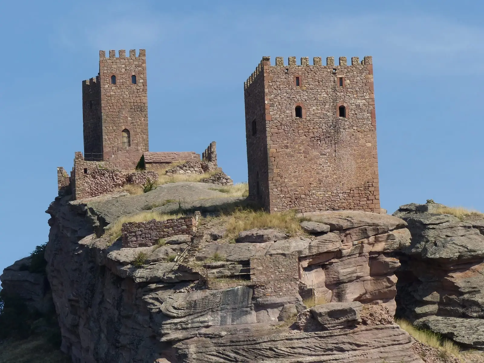
On the map, the marker indicates the village, not the necropolis. La Yunta also features a medieval tower and seasonal lagoons. More in the Celtiberians of the Alto Tajo.
Visiting
To be clear: of all the Celtiberian sites in the Señorío, today only two are truly prepared for visitors, El Ceremeño in Herrería and Peña Moñuz in Olmeda de Cobeta. The necropolis has received little preparation for the public: it is unconditioned, virtually unsigned, and what can be seen is hard to understand without help. If you visit, do not leave the paths, do not climb onto the stone walls, and do not pick up anything from the ground.
Location
● Reference point · ● Villages · ● Places
Location diagram. Detailed map with tracks and names loads on zoom.
Approximate position: village centre.
Reference villages: La Yunta · Campillo de Dueñas · Cubillejo de la Sierra · Embid.
Open the full map and historical layers →