Village · Guadalajara · 1,116 m
Campillo de Dueñas
Campillo de Dueñas lies at the eastern edge of the Señorío at around 1,100 metres and 20 km from Molina, near Teruel. In its municipality stands the castle of Zafra in the Sierra de Caldereros. Documented as a village in 1231, its name originates, according to tradition, from two noble ladies who survived its destruction and resettled the land.
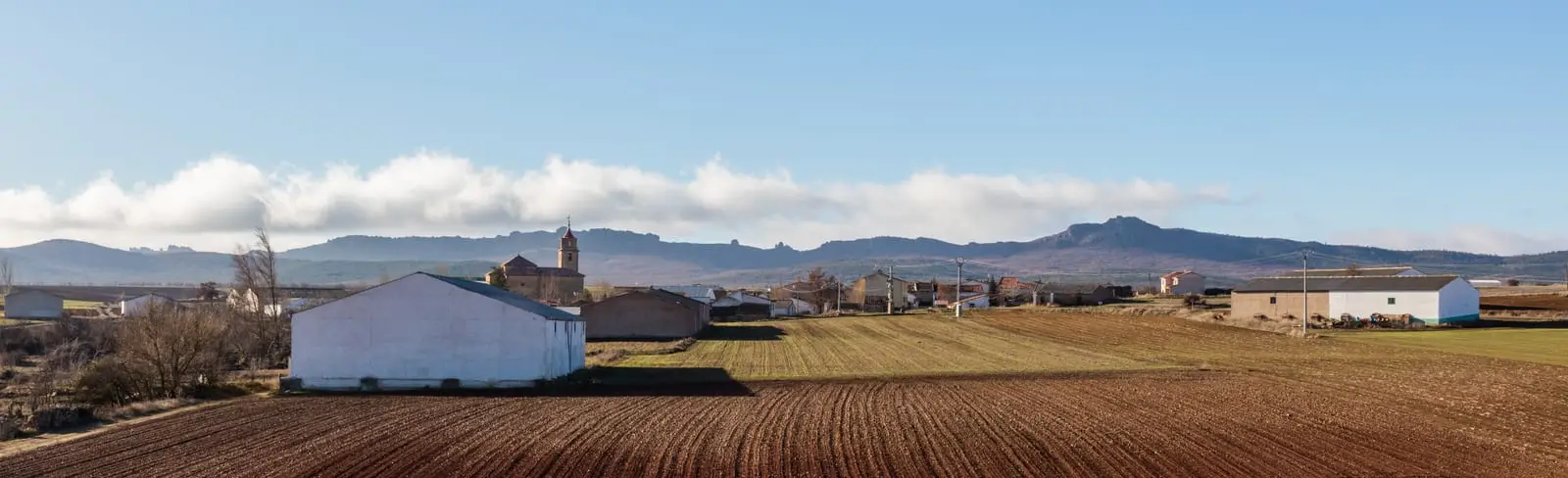
What to see in Campillo de Dueñas
- The castillo de Zafra, a 12th-century rock castle perched upon a crag of the Sierra de Caldereros, within its bounds.
- The hermitage of the Virgen de la Antigua, formerly dedicated to San Crispín.
- The temporary lagoons on the high plain, shared with La Yunta.
A name with a legend
Campillo was already a village in 1231. Tradition relates that after being laid waste during one of the Late Middle Ages wars, only two ladies (dueñas) survived as owners of the depopulated settlement and its lands, giving the village its name. Nearby graves and Celtiberian coins have been found.
Nearby
La Yunta, with its tower, is four kilometres away. Towards Molina lie Cubillejo de la Sierra and Los Rodiles.
Routes linked to Campillo de Dueñas
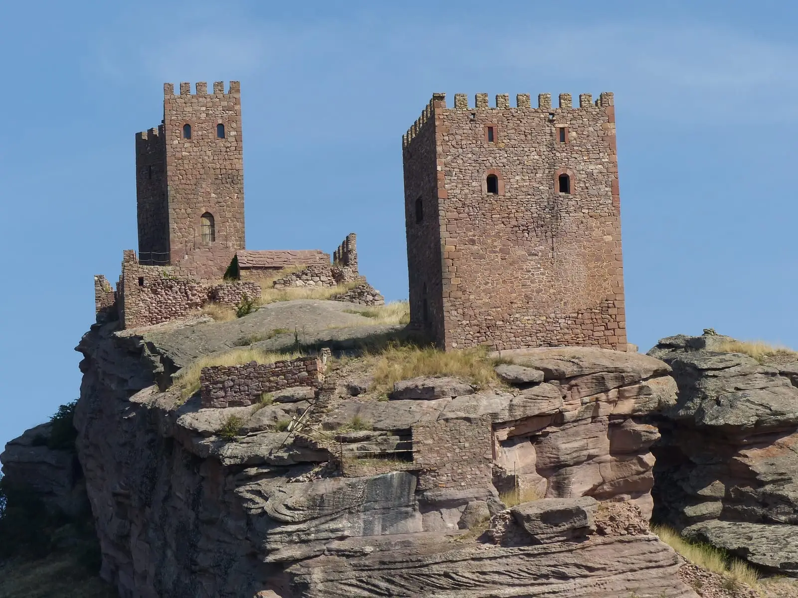
Near Campillo de Dueñas
Torre de La Yunta: Tower of the Order of Saint John
La YuntaCeltiberian necropolis of La Yunta: 268 graves on the Aragon border
La YuntaLagoons of La Yunta: cranes and steppe birds near Gallocanta
La Yunta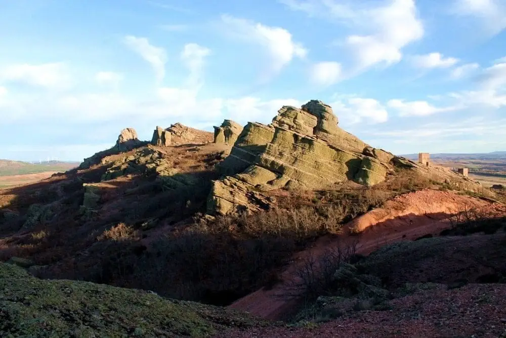
Sierra de Caldereros: Red Sandstone and Zafra Castle
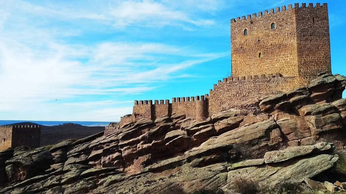
Castle of Zafra: the rock fortress of the Sierra de Caldereros
Ponce de León Tower (Cubillejo de la Sierra) and its Museum
Cubillejo de la SierraLos Rodiles (Cubillejo de la Sierra): an oppidum facing Rome
Cubillejo de la SierraHermitage of the Virgen de la Carrasca: Romanesque in Sierra de Caldereros
Castellar de la MuelaPopulation of Campillo de Dueñas, 1842–2021
Campillo de Dueñas reached a peak of 590 inhabitants in 1930 . In the 2021 census there were 78 , a decrease of 87%. This is the history told in the emptying of the Alto Tajo.
Climate in Campillo de Dueñas month by month
2015–2024 averages from Copernicus ERA5 reanalysis for an altitude of approx. 1,116 m. Useful for planning, not a substitute for live forecasts.
Location
● Reference point · ● Villages · ● Places
Location diagram. Detailed map with tracks and names loads on zoom.
Reference villages: La Yunta · Cubillejo de la Sierra · Hombrados · Castellar de la Muela.
Open the full map and historical layers →