Village · Guadalajara · 1,105 m
Cubillejo de la Sierra
Cubillejo de la Sierra is a hamlet of Molina de Aragón at about 1,100 metres, near La Yunta and Campillo de Dueñas. Beside the village lies Los Rodiles, a major Celtiberian oppidum and Asset of Cultural Interest. It preserves the Ponce de León tower, now a museum, and two 17th-century pairones.
Traces in the village and its surroundings
Which eras you can read here
A single place can preserve traces from different eras. These layers connect what you see with the stories in the atlas.
What to see in Cubillejo de la Sierra
- The castro de Los Rodiles, a Celtiberian oppidum of over five hectares with three concentric walls, excavated each summer.
- The Ponce de León tower, with its 1517 inscription, now housing the local museum.
- Two 17th-century pairones: the Virgen del Buen Suceso, on the track to Hombrados, and the Ánimas, carved from white sandstone. Also the hermitage of La Vega.
A hamlet of Molina
Cubillejo de la Sierra is today a hamlet of Molina de Aragón, in the eastern plains of the Señorío. In the mid-19th century it had around 200 inhabitants, rising to over 400 in 1900.
Nearby
Places in and around Cubillejo de la Sierra
Near Cubillejo de la Sierra
Pairón de San Juan Bautista (Cubillejo del Sitio)
Cubillejo del SitioTorre de La Yunta: Tower of the Order of Saint John
La YuntaCeltiberian necropolis of La Yunta: 268 graves on the Aragon border
La Yunta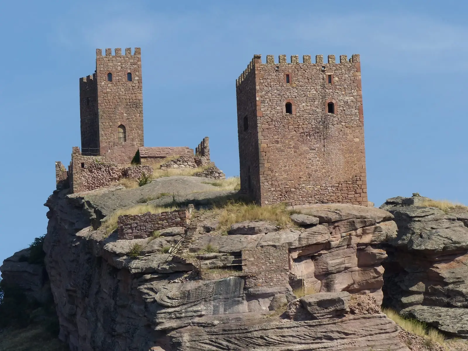
Geotrail 10: Sierra de Caldereros (Campillo de Dueñas)
15 km · 5 h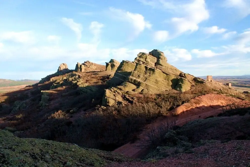
Sierra de Caldereros: Red Sandstone and Zafra Castle
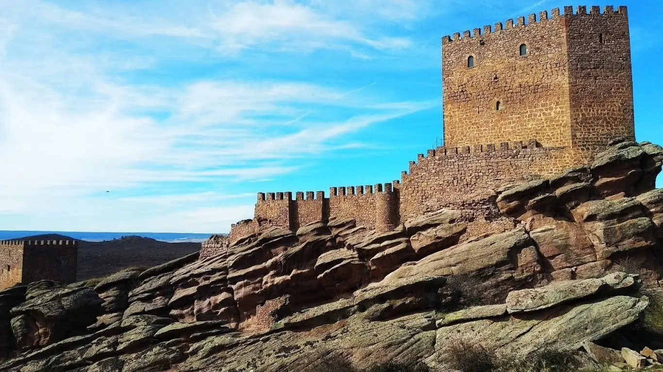
Castle of Zafra: the rock fortress of the Sierra de Caldereros
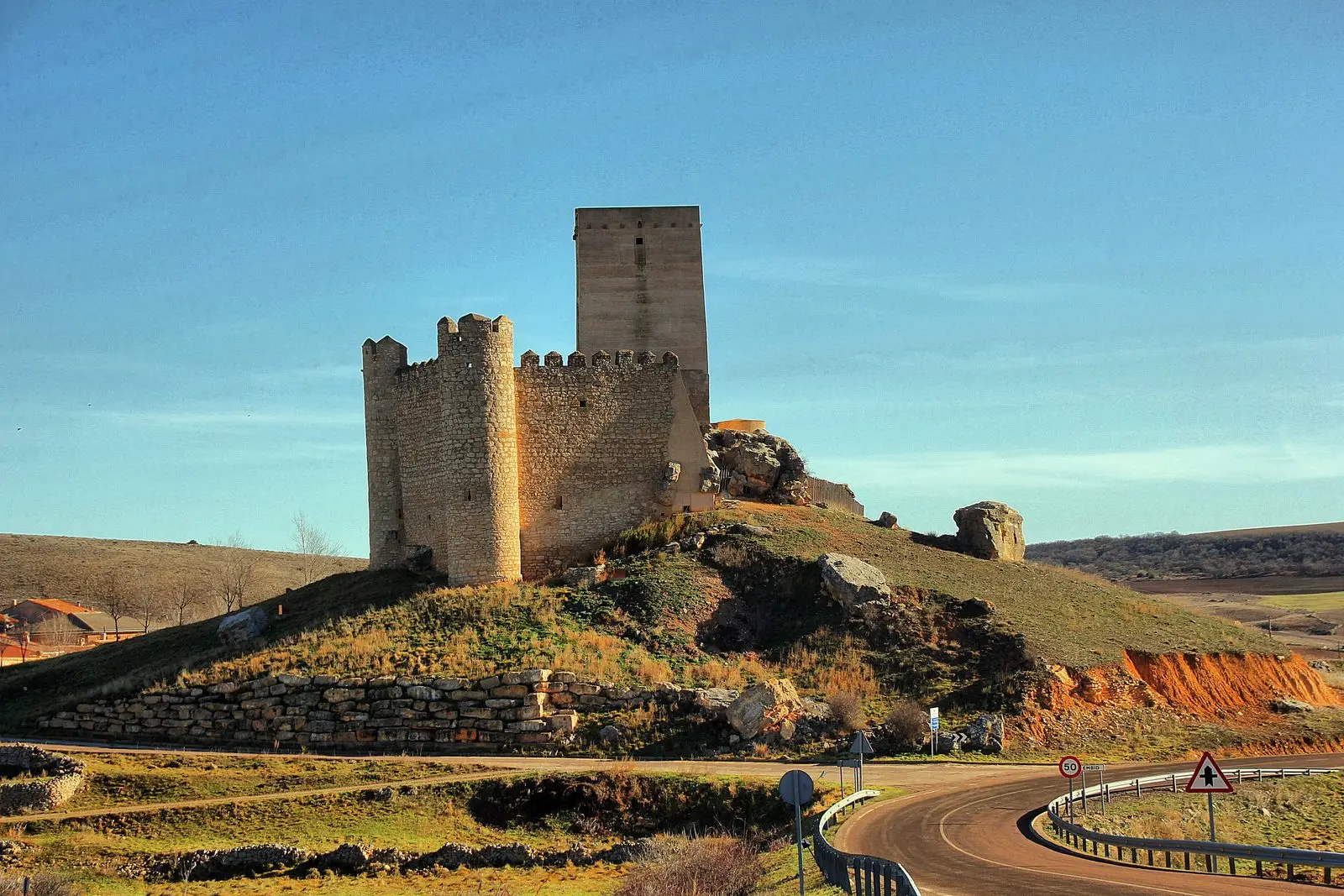
Castle of Embid: the pentagonal stronghold of the Aragon frontier
EmbidLagoons of La Yunta: cranes and steppe birds near Gallocanta
La YuntaPopulation of Cubillejo de la Sierra, 1842–1970
Cubillejo de la Sierra reached a peak of 483 inhabitants in 1940 ; in 1970 it had 242, before merging into the municipality of Molina.
Climate in Cubillejo de la Sierra month by month
2015–2024 averages from Copernicus ERA5 reanalysis for an altitude of approx. 1,105 m. Useful for planning, not a substitute for live forecasts.
Location
● Reference point · ● Villages · ● Places
Location diagram. Detailed map with tracks and names loads on zoom.
Reference villages: Cubillejo del Sitio · La Yunta · Campillo de Dueñas · Embid.
Open the full map and historical layers →