Route · Olmeda de Cobeta
Ruta Etnográfica 3: Ethnographic route 3: the chozones of Olmeda de Cobeta
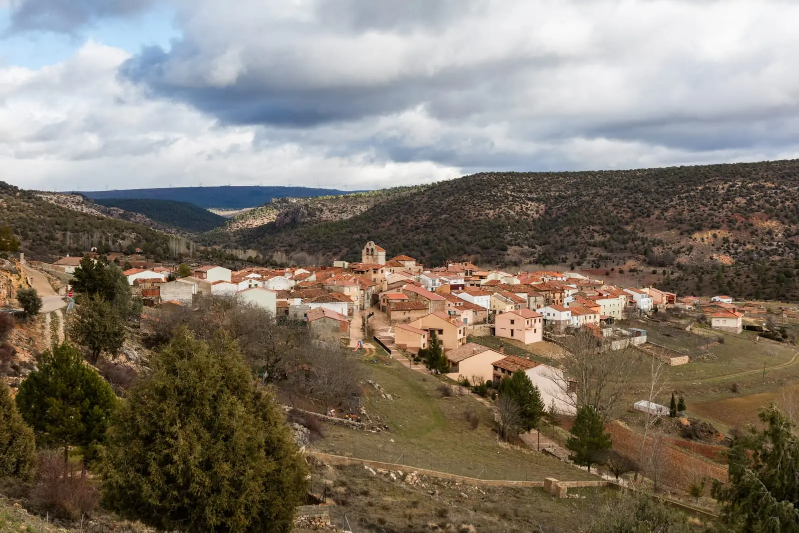
Ethnographic Route 3 is a 4.75 km circular walk taking about 1.5 hours through the Spanish juniper woodland of Olmeda de Cobeta. Visits the village threshing floors, a communal resin pine, and Tío Martín chozón built around a living oak. Listed as under improvement.
- Code
- Ruta Etnográfica 3
- Distance
- 4.75 km
- Duration
- 1.5 h
- Trail type
- Circular
- Difficulty
- Easy
Walking duration without transfers or stops. Difficulty rated according to the official source; verify its conditions and notices. “Easy” does not imply wheelchair or stroller accessibility.
- Ruta Etnográfica 3
- Circular, 4.75 km
- Chozón del tío Martín
- Under improvement
The stops
- Threshing floors and haylofts. Before leaving Olmeda de Cobeta, visit the stone-paved threshing floors where grain was processed, and beneath them the haylofts with upper loading hatches and lower unloading doors.
- The communal resin pine. An ancient black pine with a notched cavity where neighbours collected resin in a small reservoir. It served as an antiseptic balm for livestock and shepherd wounds, and applied with wool to udders helped wean lambs.
- The chozón of Tío Martín or El Morrón. One of the best preserved in the Park, constructed around a living holm oak 3.5 m in circumference and 15 m in height. Restored in 2022.
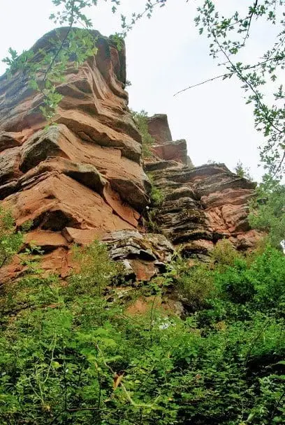
- Centennial oaks and juniper woods. Spanish juniper with gall oak, holm oak, gorse, lavender, and thyme. In winter the juniper woods attract thousands of thrushes, which consume the juniper cones and disperse the seeds.
A living tree as central pillar
It was common practice to construct circular chozones around a living tree functioning as the central roof pillar. Very few survive: livestock manure and soil compaction eventually killed most of them. Nearby are the Dehesa of Olmeda de Cobeta and the hillfort of Peña Moñuz.
Notice
The Natural Park notes that the footpath is currently under improvement: check the official website before visiting.
Before you set out
Carry water, mountain footwear, and download the GPS track in advance: mobile reception is absent in many areas. Check the forecast on Today in the Alto Tajo and the official trail sheet for notices and closures, and respect seasonal restrictions during raptor breeding periods.
Official route · Parque Natural del Alto Tajo (Junta de Castilla-La Mancha). Description, track and notices on the official guide. Before setting out, verify there whether changes or closures apply.
Location
● Reference point · ● Villages · ● Places
Location diagram. Detailed map with tracks and names loads on zoom.
Approximate position: village centre.
This guide displays the reference location; no route track is available.
Reference villages: Olmeda de Cobeta · Buenafuente del Sistal · Villar de Cobeta · Cobeta.
Open the full map and historical layers →