Route · Ablanque
Ruta Etnográfica 1: Ethnographic route 1: the chozones of Ablanque
Ethnographic Route 1 visits the juniper chozones of Ablanque in two parts: the climb to Mirador del Cerro with a restored circular chozón (3.8 km round trip), and three short branches in the Ablanquejo valley totaling 4.8 km, the longest climbing to Peña del Escalerón.
Lands and landscapes
From here, follow the memory of the territory
These readings connect Ethnographic route 1: the chozones of Ablanque with the history, work, and villages around it.
This place across time
Which eras you can read here
A single place can preserve traces from different eras. These layers connect what you see with the stories in the atlas.
- Code
- Ruta Etnográfica 1
- Distance
- 3 km
- Elevation gain
- 286 m
- Duration
- 3 h
- Trail type
- Linear
- Difficulty
- Easy
- Altitude
- 982 m
Walking duration without transfers or stops. Check in the official source whether distance and time include the return leg. Difficulty rated according to the official source; verify its conditions and notices. “Easy” does not imply wheelchair or stroller accessibility.
- Ruta Etnográfica 1
- Juniper chozones
- Multiple branches
- Peña del Escalerón
- Formerly RE PNAT 1
What are chozones?
Chozones sabineros are traditional pastoral shelters built from limestone dry stone and Spanish juniper timber that dot the juniper woodlands of the Alto Tajo. They are believed to date back to the Middle Ages, although precise documents are lacking. They were grouped as seasonal settlements in naturally defensible spots near water and grazing. Learn more in the guide to the chozones of Ablanque.
The Mirador del Cerro
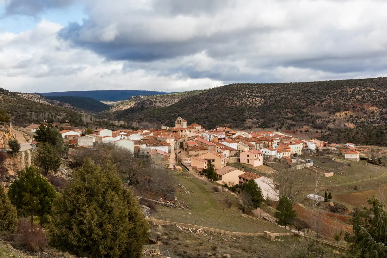
From Ablanque, along the paved road towards Buenafuente del Sistal, cross the Ablanquejo River and take the track to the right, marked with blue and white posts, up to Mirador del Cerro: a restored circular chozón with views over the village. Round trip: 3.8 km and 97 m climb.
The valley branch trails
About 3 km from the village, where the track crosses the river, there is parking and a signpost:
- Branch 1: 1.1 km round trip to a restored chozón beside agricultural fields.
- Branch 2: 800 m round trip, gentle climb towards Las Atalayuelas.
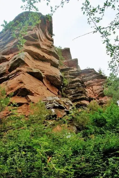
- Branch 3: 3 km round trip and 170 m elevation gain to Peña del Escalerón, approximately 2 hours.
Do not enter dilapidated shelters or remove stones or woodwork.
Before you set out
Carry water, mountain footwear, and download the GPS track in advance: mobile reception is absent in many areas. Check the forecast on Today in the Alto Tajo and the official trail sheet for notices and closures, and respect seasonal restrictions during raptor breeding periods.
Official route · Parque Natural del Alto Tajo (Junta de Castilla-La Mancha). Description, track and notices on the official guide. Before setting out, verify there whether changes or closures apply.
Location
● Reference point · ● Villages · ● Places · ━ Simplified official route
Location diagram. Detailed map with tracks and names loads on zoom.
Reference villages: Ablanque · Olmeda de Cobeta · Buenafuente del Sistal · Villar de Cobeta.
Open the full map and historical layers →Other nearby routes
All routes →Ethnographic route 3: the chozones of Olmeda de Cobeta
4.75 km · 1.5 h · CircularTrail 5: the chozones of La Loma (Riba de Saelices)
10.5 km · 4 h · Circular