Village · Guadalajara · 1,212 m
Buenafuente del Sistal
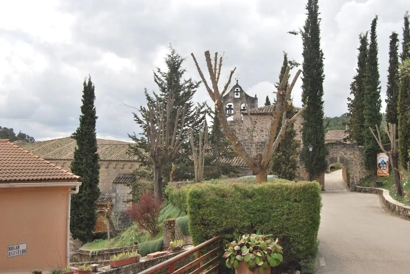
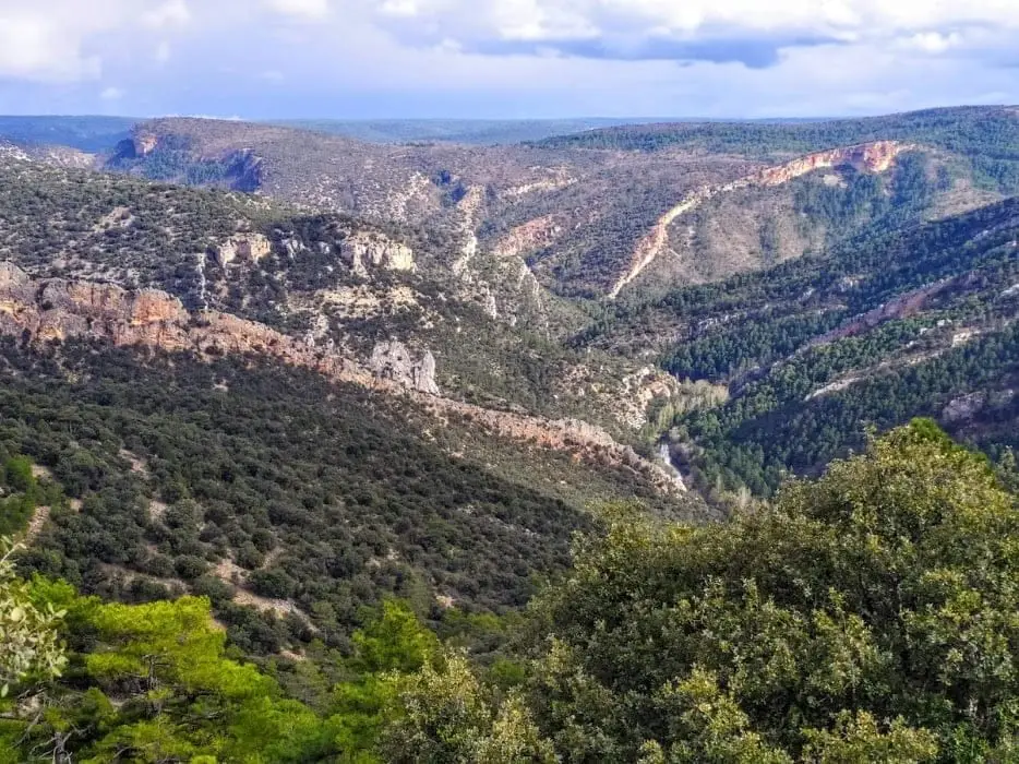
Buenafuente del Sistal, in the municipality of Olmeda de Cobeta, is known for its late 13th-century Cistercian monastery, inhabited by cloistered nuns since 1246. Nearby, a viewpoint atop a limestone mesa overlooks one of the wildest sections of the Tagus.
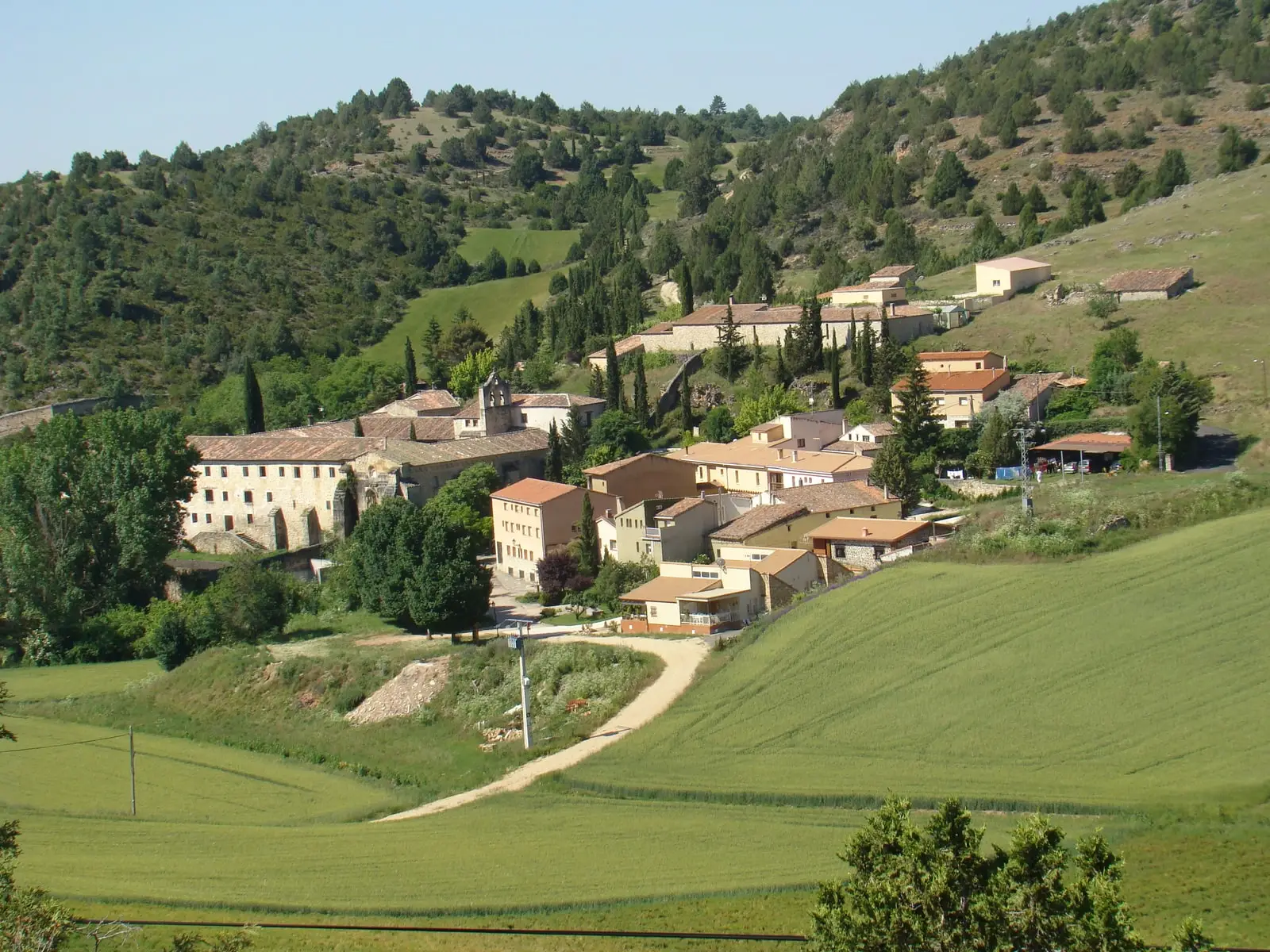
Traces in the village and its surroundings
Which eras you can read here
A single place can preserve traces from different eras. These layers connect what you see with the stories in the atlas.
What to see
- Monasterio de Buenafuente del Sistal, eight centuries of monastic life.
- Mirador de Buenafuente, overlooking the Peña de los Cuchillos and the Castillo de Buenafuente.
Routes
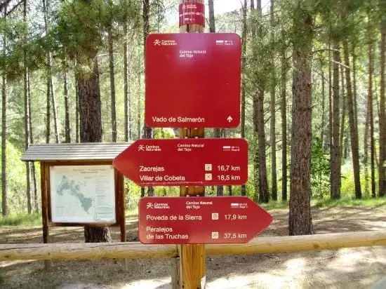
The GR-113, Camino Natural del Tajo, passes through the area around the monastery.
Places in and around Buenafuente del Sistal
Routes linked to Buenafuente del Sistal
Near Buenafuente del Sistal
Ethnographic route 3: the chozones of Olmeda de Cobeta
4.75 km · 1.5 h · Circular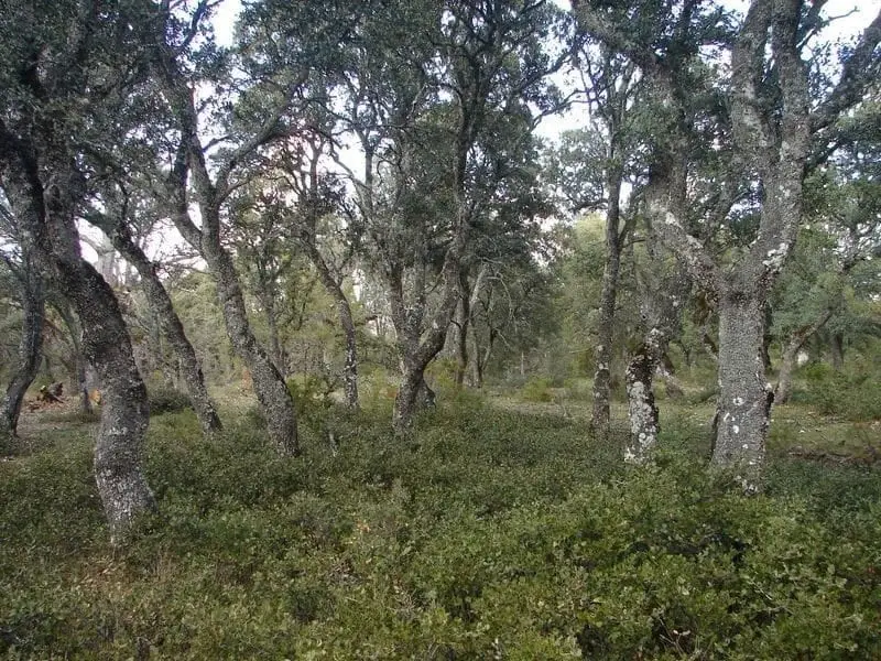
Dehesa of Olmeda de Cobeta: ancient pollarded Pyrenean oaks
Olmeda de Cobeta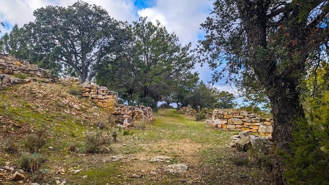
Celtiberian hillfort of Peña Moñuz (Olmeda de Cobeta)
Olmeda de Cobeta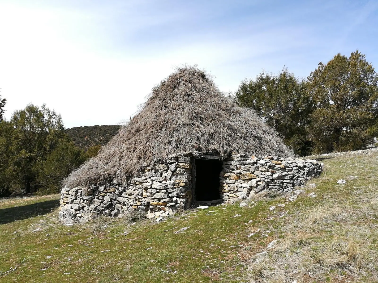
Juniper chozones of Ablanque: evolution of pastoral architecture
Ablanque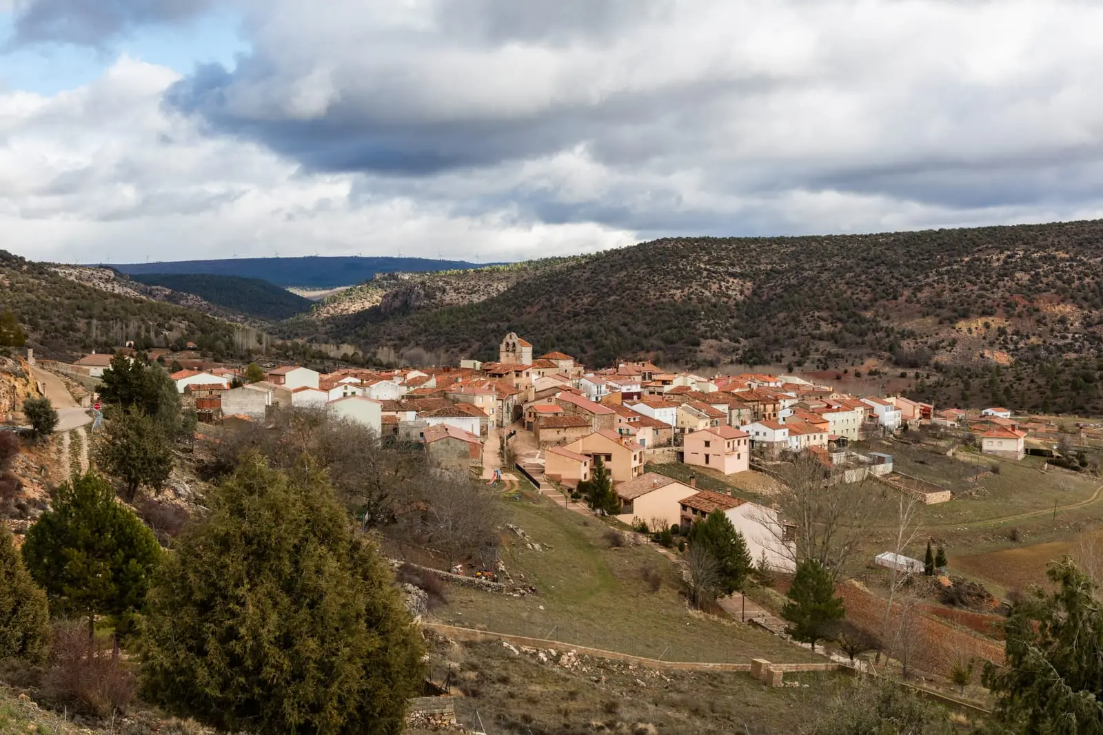
Ethnographic route 1: the chozones of Ablanque
3 km · 3 h · Linear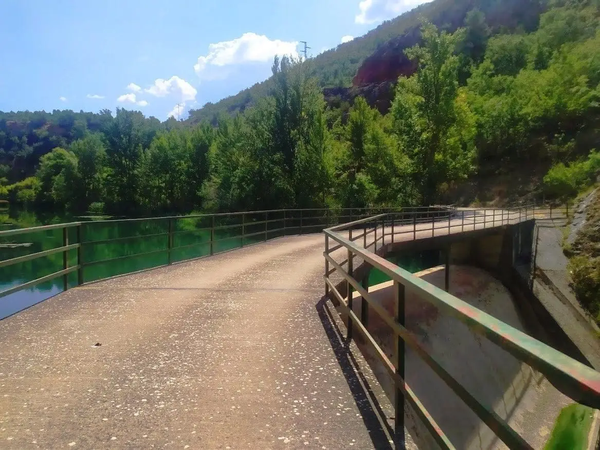
Presa de la Rocha or Campillo Dam (Zaorejas)
Zaorejas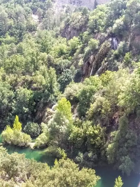
Cascada del Campillo: the permanent waterfall of Zaorejas
ZaorejasPuente de Tagüenza: the old crossing between Huertapelayo and Huertahernando
Huertahernando, HuertapelayoClimate in Buenafuente del Sistal month by month
2015–2024 averages from Copernicus ERA5 reanalysis for an altitude of approx. 1,212 m. Useful for planning, not a substitute for live forecasts.
Location
● Reference point · ● Villages · ● Places
Location diagram. Detailed map with tracks and names loads on zoom.
Reference villages: Olmeda de Cobeta · Villar de Cobeta · Huertahernando · Huertapelayo.
Open the full map and historical layers →