Village · Guadalajara · 1,146 m
Huertahernando
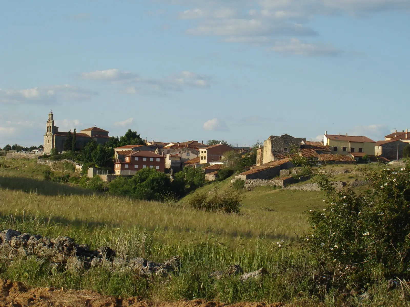
Huertahernando is a small village in the Alto Tajo at about 1,150 metres, between Huertapelayo and Buenafuente del Sistal. It was part of the old bridle path crossing the Tagus via the Tagüenza Bridge to link settlements on both banks.
Rivers and basins
The thread of water from Huertahernando
Follow these watercourses towards their confluences, villages, and basin history.
1936–1939 · memory of the territory
The war in the village memory
The war also reached the work of the pine woods. Among LURE’s resin workers called up for military service were 8 workers from this village. Their story connects the memory of the woods with those who had to leave their trade during the conflict.
Source: Berlanga, capítulo 9, pp. 346–347.
Read the story of the river frontline →What to see
The Puente de Tagüenza, small and slender, in a rocky bend of the Tagus.
Nearby
Huertapelayo and Buenafuente del Sistal, with its monastery.
Places in and around Huertahernando
Near Huertahernando
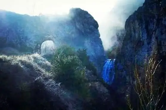
El Chorrero of Huertapelayo
Huertapelayo
Trail 6 (PR-GU 21): from Huertapelayo to the Tagus
6.5 km · 3.5 h · Circular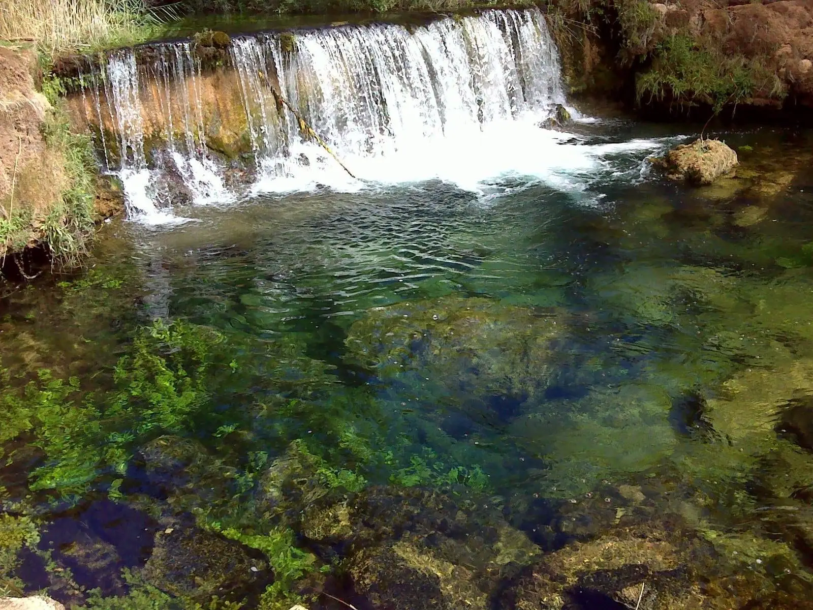
Hoz del Río Ablanquejo: a wild, pathless canyon
Ablanque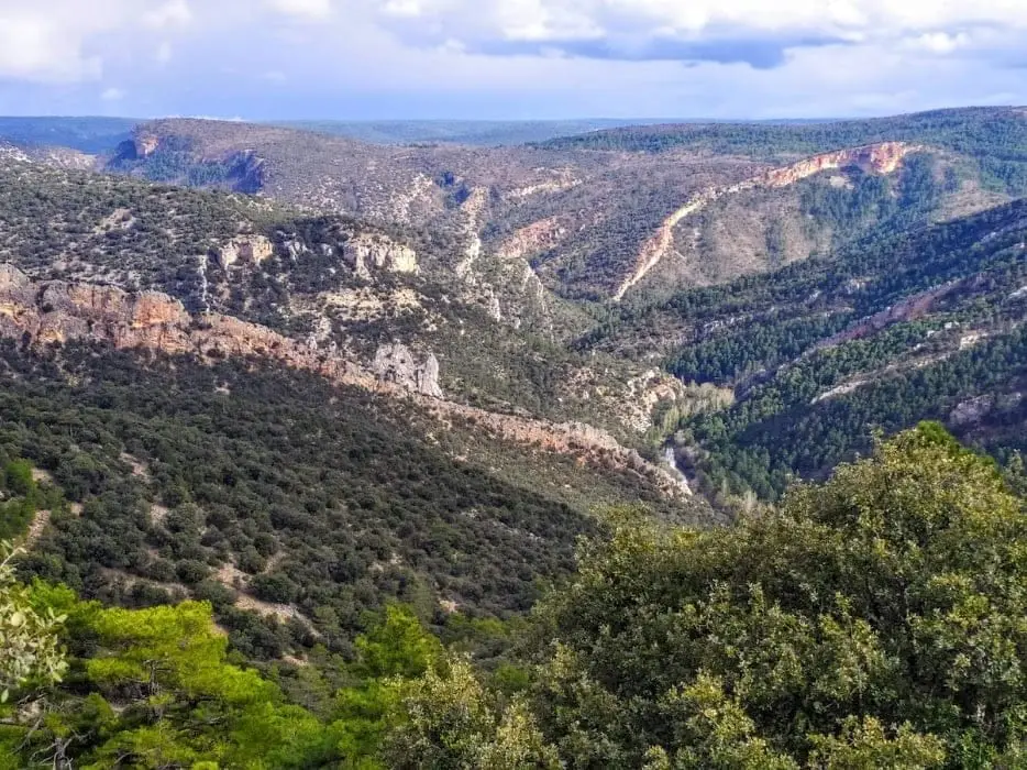
Buenafuente del Sistal viewpoint: the wildest Tagus
Buenafuente del SistalPortillo Tunnel: The Road Carved by the People of Huertapelayo
Huertapelayo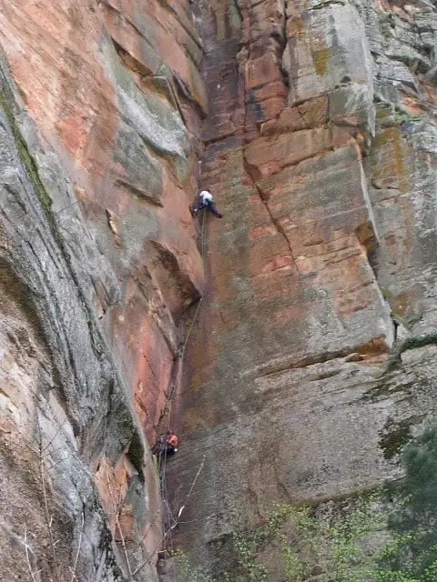
Climbing in Barranco de la Hoz
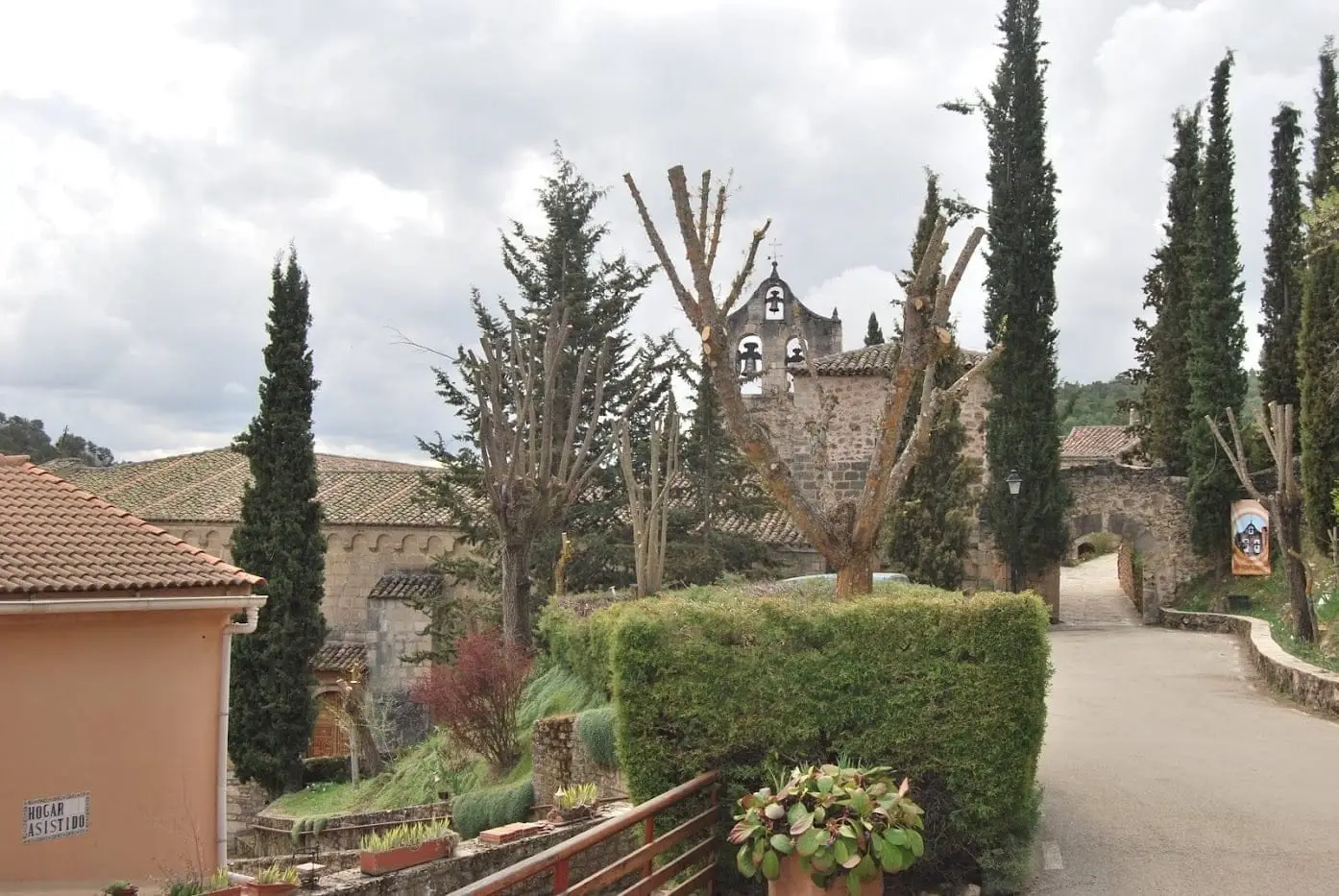
Monastery of Buenafuente del Sistal: Cistercian nuns since 1246
Buenafuente del SistalTrail 5: the chozones of La Loma (Riba de Saelices)
10.5 km · 4 h · CircularPopulation of Huertahernando, 1842–2021
Huertahernando reached a peak of 502 inhabitants in 1930 . In the 2021 census there were 56 , a decrease of 89%. This is the history told in the emptying of the Alto Tajo.
Climate in Huertahernando month by month
2015–2024 averages from Copernicus ERA5 reanalysis for an altitude of approx. 1,146 m. Useful for planning, not a substitute for live forecasts.
Location
● Reference point · ● Villages · ● Places
Location diagram. Detailed map with tracks and names loads on zoom.
Reference villages: Huertapelayo · Buenafuente del Sistal · Canales del Ducado · Olmeda de Cobeta.
Open the full map and historical layers →