Archaeological site · Olmeda de Cobeta
Celtiberian hillfort of Peña Moñuz (Olmeda de Cobeta)
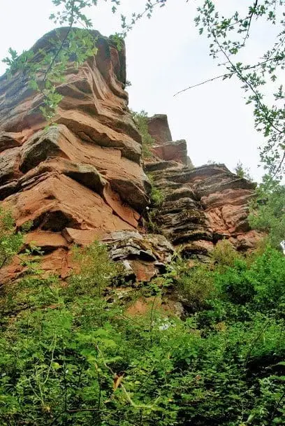
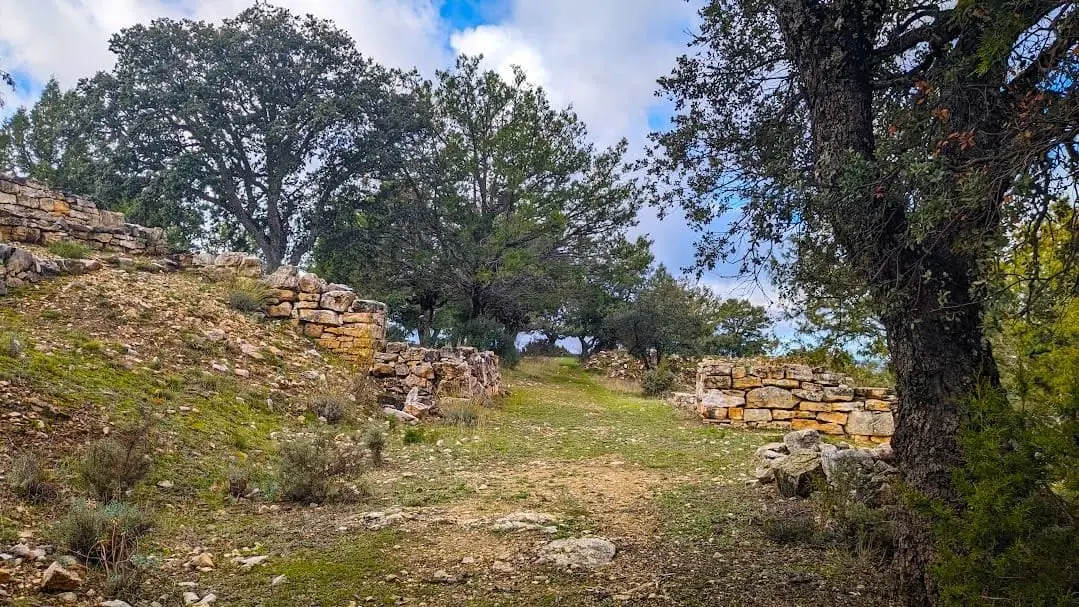
Peña Moñuz is a fortified Celtiberian settlement from the 4th to 2nd centuries BC, perched on a limestone spur at 1,240 metres altitude in the dehesa of Olmeda de Cobeta. It stands out for the complexity of its defences: a belt of chevaux-de-frise (upright stones), a rock-cut ditch, and a three-metre-thick defensive wall.
This place across time
Which eras you can read here
A single place can preserve traces from different eras. These layers connect what you see with the stories in the atlas.
- Municipality
- Olmeda de Cobeta
- Province
- Guadalajara
- Altitude
- 1,192 m
- 4th-2nd centuries BC
- Chevaux-de-frise
- Rock-cut ditch
- 3 m wall
- One of two visitable hillforts
Three lines of defence
Anyone attempting to assault Peña Moñuz first encountered a defensive belt of upright stones, known as chevaux-de-frise (piedras hincadas), designed to break the momentum of infantry and cavalry charges. Beyond them lay a deep defensive ditch cut into the bedrock. Behind the ditch stood a formidable stone wall roughly three metres thick.
Strategic vantage point
The settlement occupies an elevated limestone spur at an altitude of approximately 1,240 metres, offering extensive panoramic views over the surrounding territory, inside the dehesa de la Olmeda. It is reached on foot from Olmeda de Cobeta by crossing the oak pasture. It is located in Olmeda de Cobeta.
A hillfort prepared for visits
Together with El Ceremeño in Herrería, Peña Moñuz is the only Celtiberian hillfort in the Señorío that is properly prepared for visitors: its defensive layout can be clearly understood on the ground. The remaining archaeological sites in the region are not conditioned for public visits. Do not climb on the walls or disturb the upright stones.
Location
● Reference point · ● Villages · ● Places
Location diagram. Detailed map with tracks and names loads on zoom.
Reference villages: Olmeda de Cobeta · Buenafuente del Sistal · Villar de Cobeta · Ablanque.
Open the full map and historical layers →Nearby routes
All routes →Ethnographic route 3: the chozones of Olmeda de Cobeta
4.75 km · 1.5 h · Circular
Ethnographic route 1: the chozones of Ablanque
3 km · 3 h · Linear