Village · Guadalajara · 1,228 m
Olmeda de Cobeta
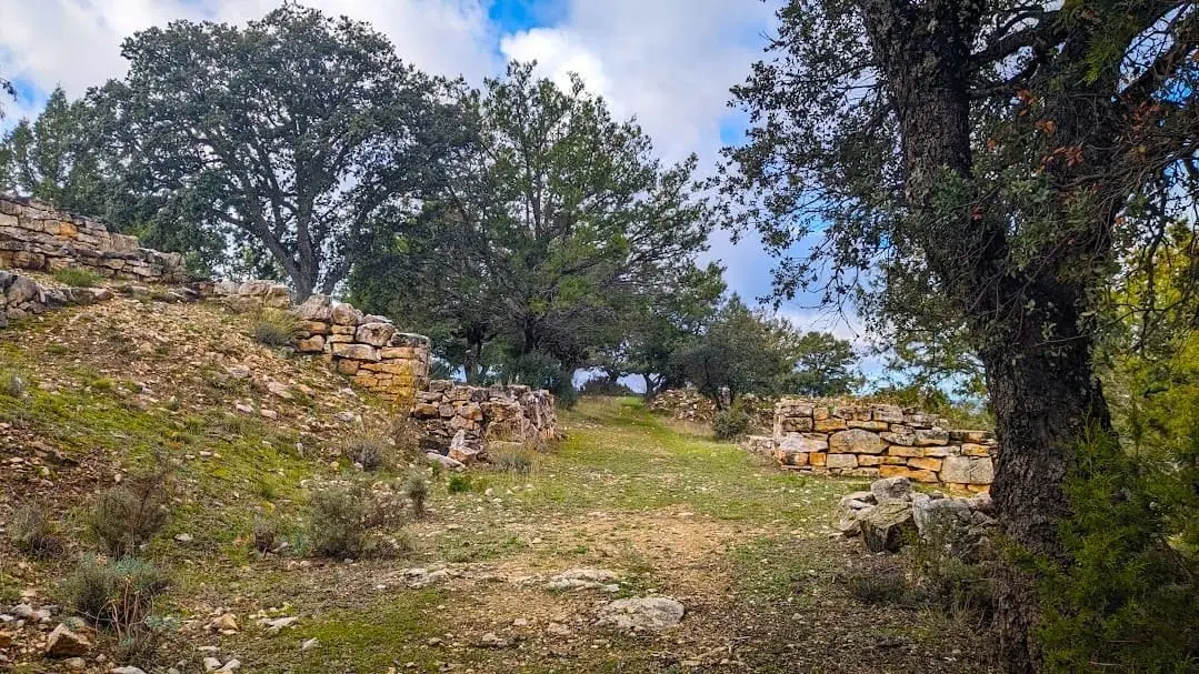
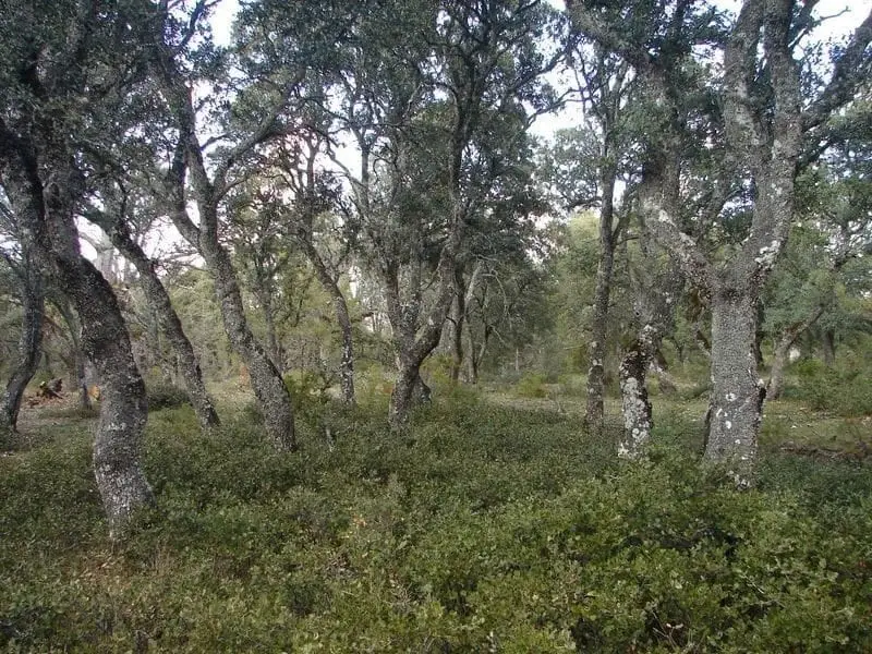
Olmeda de Cobeta is a village in the Alto Tajo at about 1,230 metres, possessing a medieval wood pasture of pollarded pyrenean oaks, holm oaks and gall oaks. Within it stands the fortified Celtiberian castro of Peña Moñuz, and its territory includes Buenafuente del Sistal.
Traces in the village and its surroundings
Which eras you can read here
A single place can preserve traces from different eras. These layers connect what you see with the stories in the atlas.
What to see
- The wood pasture of Olmeda de Cobeta, with centuries-old pollarded oaks.
- The castro of Peña Moñuz, a fortified Celtiberian hillfort.
- The monastery of Buenafuente del Sistal, within its territory.
Routes
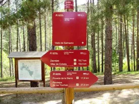
Ruta Etnográfica 3, los chozones de Olmeda de Cobeta, and the GR-113.
Places in and around Olmeda de Cobeta
Routes linked to Olmeda de Cobeta
Near Olmeda de Cobeta
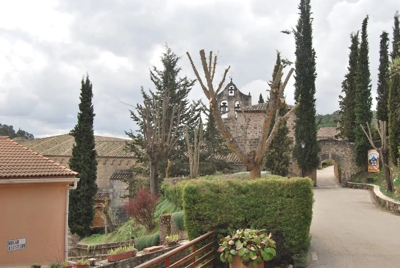
Monastery of Buenafuente del Sistal: Cistercian nuns since 1246
Buenafuente del Sistal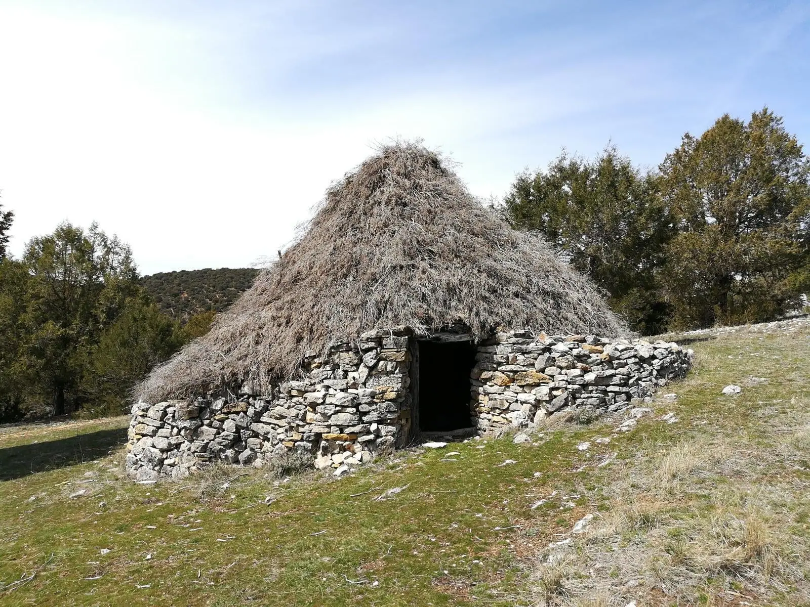
Juniper chozones of Ablanque: evolution of pastoral architecture
Ablanque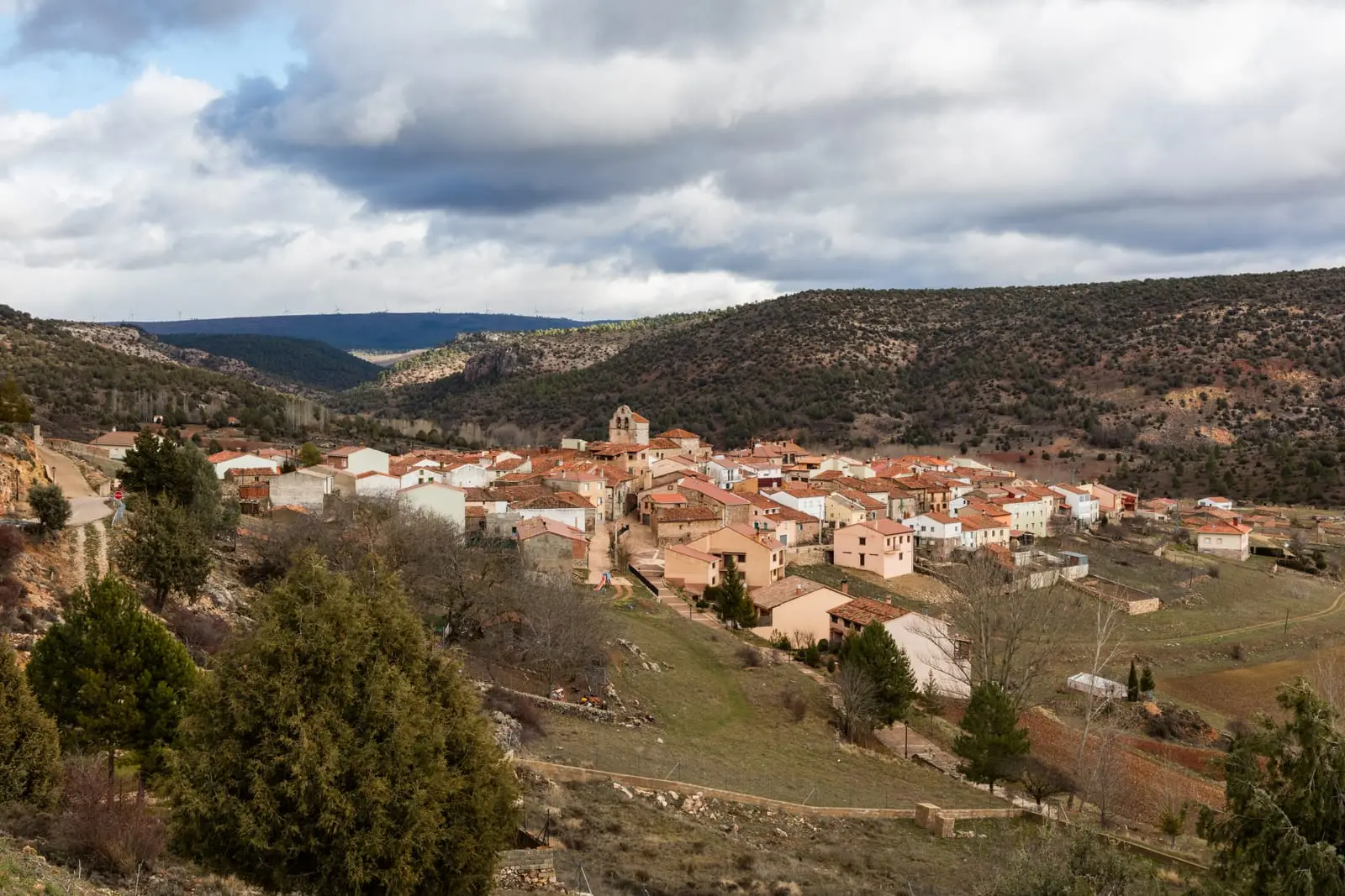
Ethnographic route 1: the chozones of Ablanque
3 km · 3 h · Linear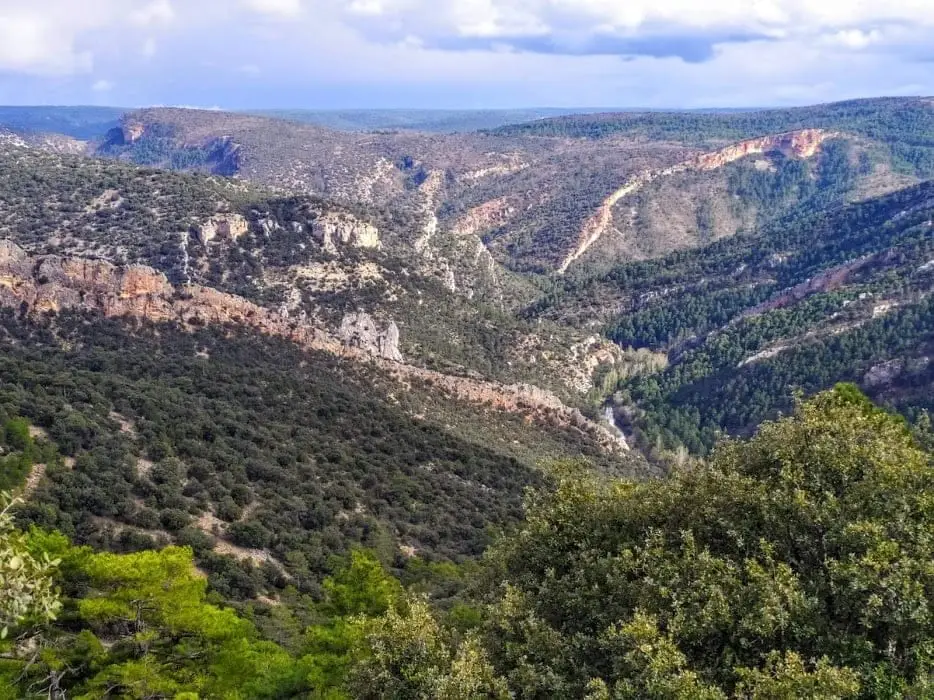
Buenafuente del Sistal viewpoint: the wildest Tagus
Buenafuente del Sistal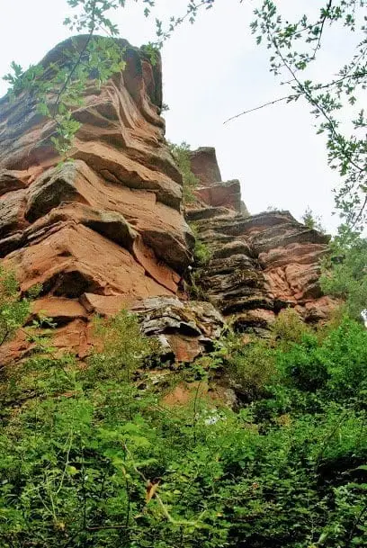
Geotrail 3: from Cobeta to Barranco del Arandilla
13 km · 4 h · LinearCobeta Tower: Surviving Remnant of the Tovar Castle
Cobeta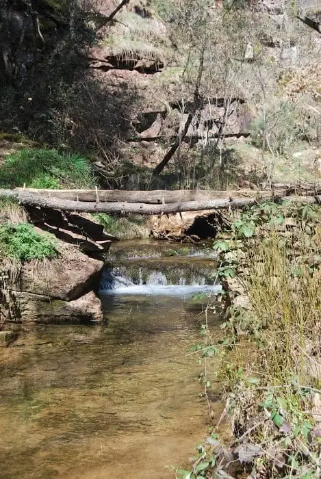
Virgen de Montesinos recreation area (Cobeta)
Cobeta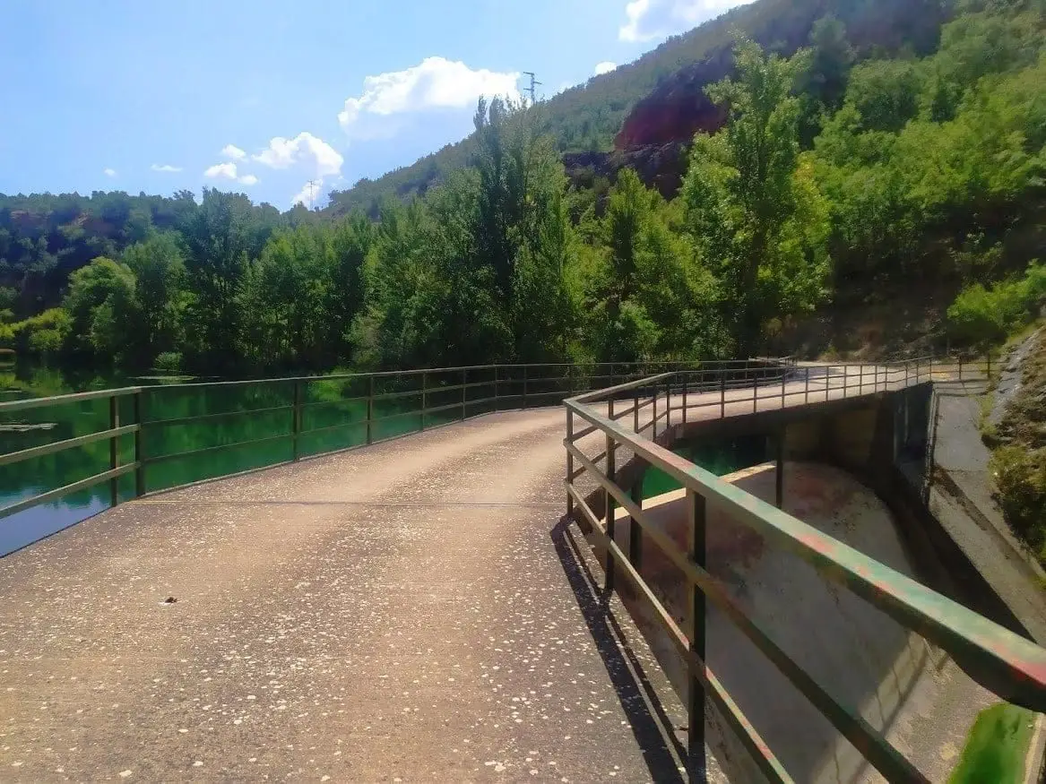
Presa de la Rocha or Campillo Dam (Zaorejas)
ZaorejasPopulation of Olmeda de Cobeta, 1842–2021
Olmeda de Cobeta reached a peak of 445 inhabitants in 1910 . In the 2021 census there were 63 , a decrease of 86%. This is the history told in the emptying of the Alto Tajo.
Climate in Olmeda de Cobeta month by month
2015–2024 averages from Copernicus ERA5 reanalysis for an altitude of approx. 1,228 m. Useful for planning, not a substitute for live forecasts.
Location
● Reference point · ● Villages · ● Places
Location diagram. Detailed map with tracks and names loads on zoom.
Reference villages: Buenafuente del Sistal · Villar de Cobeta · Cobeta · Ablanque.
Open the full map and historical layers →