Viewpoint · Buenafuente del Sistal
Buenafuente del Sistal viewpoint: the wildest Tagus
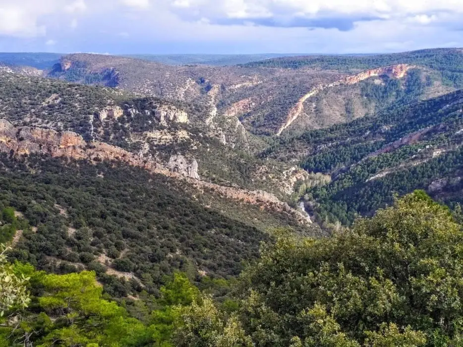
The Buenafuente del Sistal viewpoint sits atop a flat limestone ridge at about 1,200 metres above one of the wildest stretches of the Tagus. From it you can see the Peña de los Cuchillos, beneath which opens Guaruño cave, inhabited in wartime and postwar years, and the Castillo de Buenafuente, a natural limestone ridge like a wall.
- Best season
- Spring and autumn
- Municipality
- Buenafuente del Sistal
- Province
- Guadalajara
- Altitude
- 1,207 m
- Wild stretch of the Tagus
- Peña de los Cuchillos
- Castillo de Buenafuente
- Ridge walk
A balcony over a roadless river
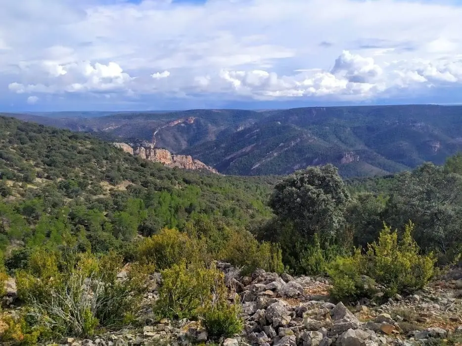
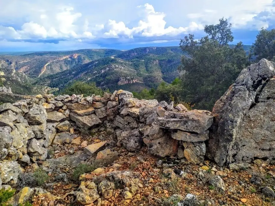
There are stretches of the Tagus that only wildlife and the occasional adventurer ever reach. This viewpoint lets you gaze down on one of them from the crest of a flat-topped ridge at about 1,200 metres. The plateau is roughly 2 km long, making the walk out to its tip an easy stroll with wide horizons all the way.
What you see
The Tagus cut deep between sheer cliffs and endless slopes; the Peña de los Cuchillos, beneath which opens Cueva de Guaruño, where people took shelter during the Civil War and postwar years; and the Castillo de Buenafuente, a limestone outcrop so straight it looks like a built fortress wall.
For birdwatchers
It is an excellent spot to watch griffon vultures soaring below eye level. Very close by stands the monastery of Buenafuente del Sistal.
Photo: El Observario
Location
● Reference point · ● Villages · ● Places
Location diagram. Detailed map with tracks and names loads on zoom.
Reference villages: Buenafuente del Sistal · Villar de Cobeta · Olmeda de Cobeta · Huertapelayo.
Open the full map and historical layers →