Village · Guadalajara · 1,061 m
Ablanque
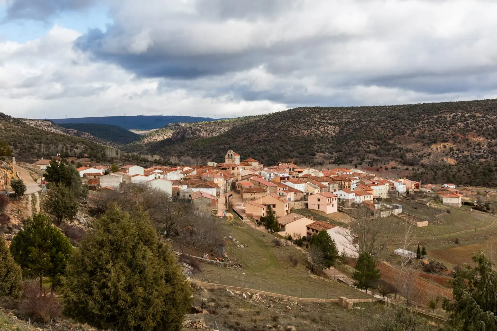
Ablanque is one of the best places in the Alto Tajo to discover chozones sabineros, traditional pastoral buildings made of juniper wood and stone. It has a museum chozón, an ethnographic trail linking several of them, and, very nearby, the gorge of the Ablanquejo river.
Rivers and basins
The thread of water from Ablanque
Follow these watercourses towards their confluences, villages, and basin history.
Lands and landscapes
From here, follow the memory of the territory
These readings connect Ablanque with the history, work, and villages around it.
Traces in the village and its surroundings
Which eras you can read here
A single place can preserve traces from different eras. These layers connect what you see with the stories in the atlas.
1936–1939 · memory of the territory
The war in the village memory
The war also reached the work of the pine woods. Among LURE’s resin workers called up for military service were 3 workers from this village. Their story connects the memory of the woods with those who had to leave their trade during the conflict.
Source: Berlanga, capítulo 9, pp. 346–347.
Read the story of the river frontline →Pastoral architecture
Chozones are shepherds’ shelters built with dry stone and trunks of Spanish juniper (sabina albar), designed to shelter people and livestock on the high paramera plateau. Ablanque preserves several, and one has been turned into a chozón museum.
What to see
- Chozones de Ablanque and the chozón museo.
- Hoz del río Ablanquejo.
- Mirador del Cerro.
- Fuente del Cura recreation area.
The village in writing
The cultural association El Hortezano brought village life to the pages of La revista de Ablanque. News, community activities, and local contributions have recorded events since publication began in 2000.
Alongside the chozones, which preserve the memory of a trade, stands this written record kept by the villagers. It is preserved in the provincial library and can be explored in our archive of local publications.
Routes
Ruta Etnográfica 1, los chozones de Ablanque and Sendero 4, el Valle de los Milagros.
Places in and around Ablanque
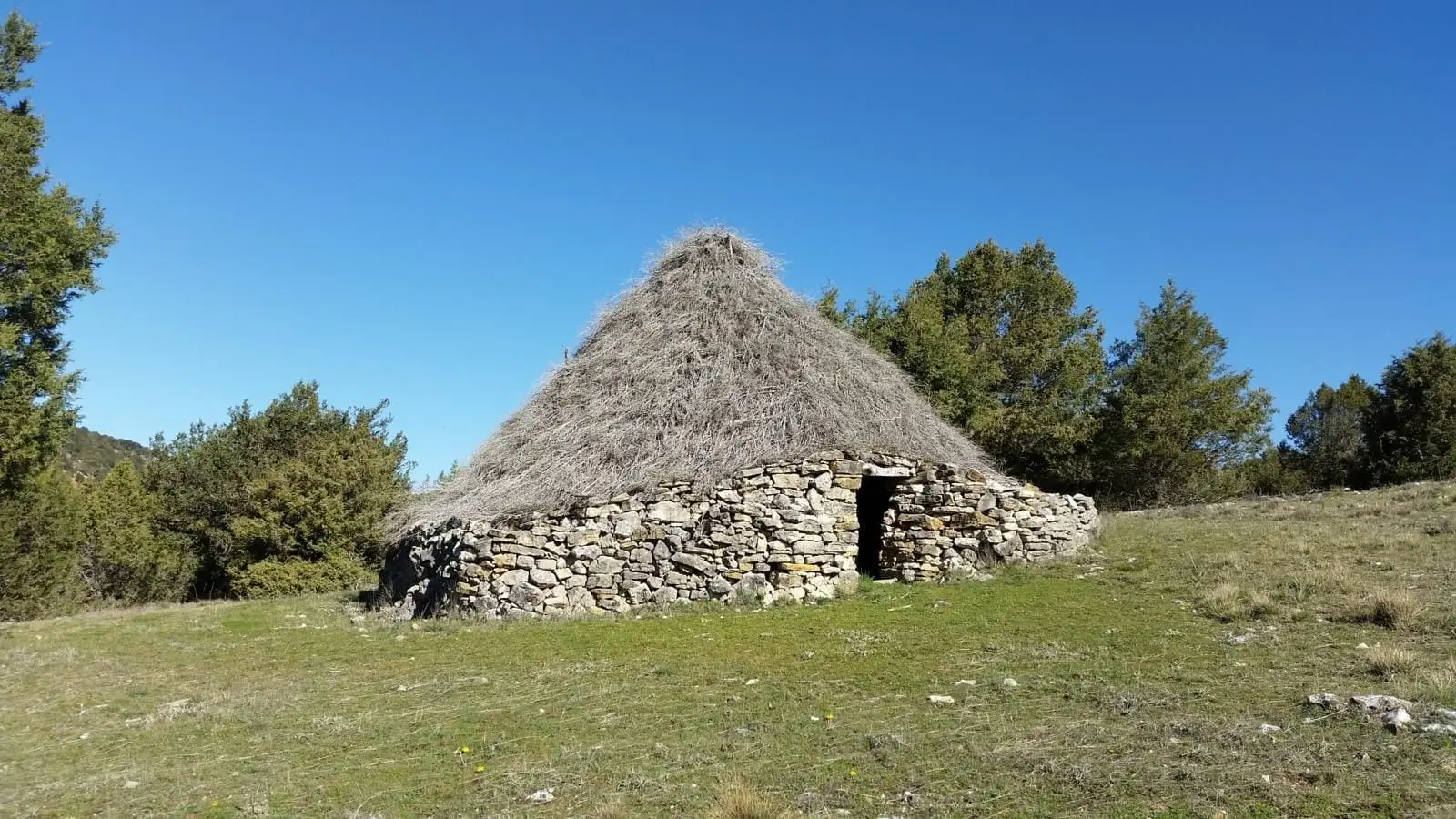
Chozón Museum of Ablanque: how paramera shepherds lived
Ablanque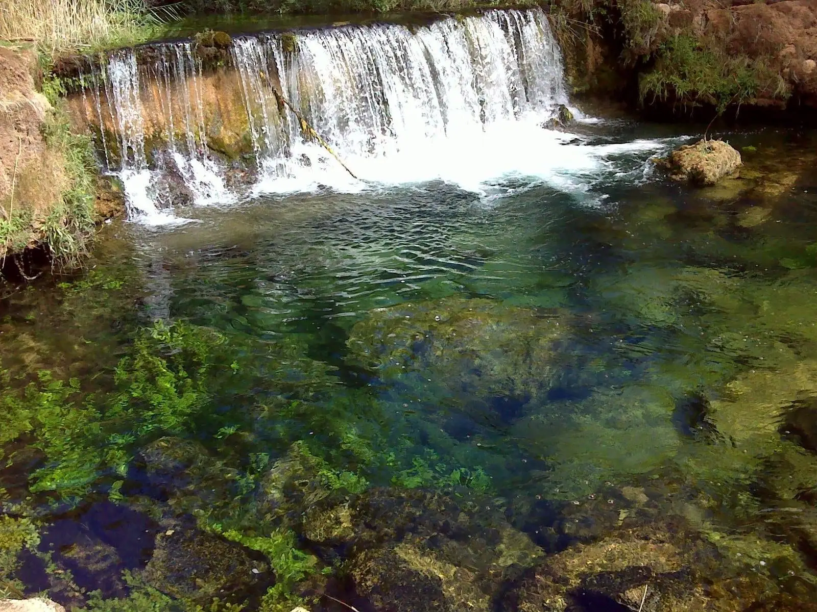
Hoz del Río Ablanquejo: a wild, pathless canyon
Ablanque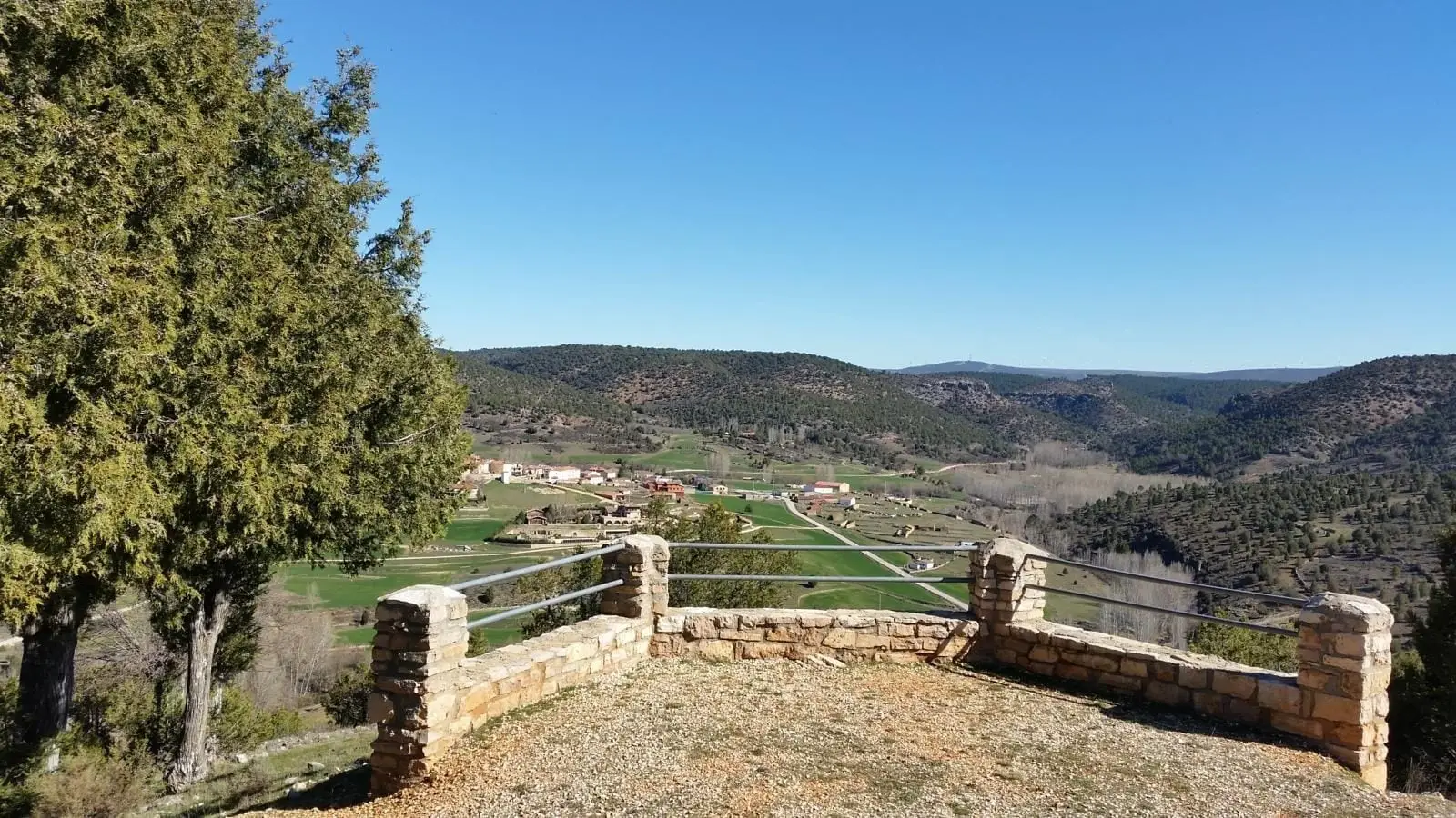
Mirador del Cerro (Ablanque) and the chozón museum
Ablanque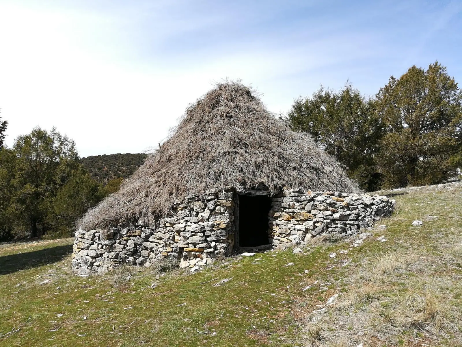
Juniper chozones of Ablanque: evolution of pastoral architecture
Ablanque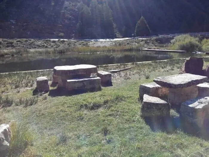
Fuente del Cura recreation area (Ablanque)
AblanqueLos Artesones valley (Ablanque): pine woods and sandstone along the Ablanquejo
AblanqueRoutes linked to Ablanque
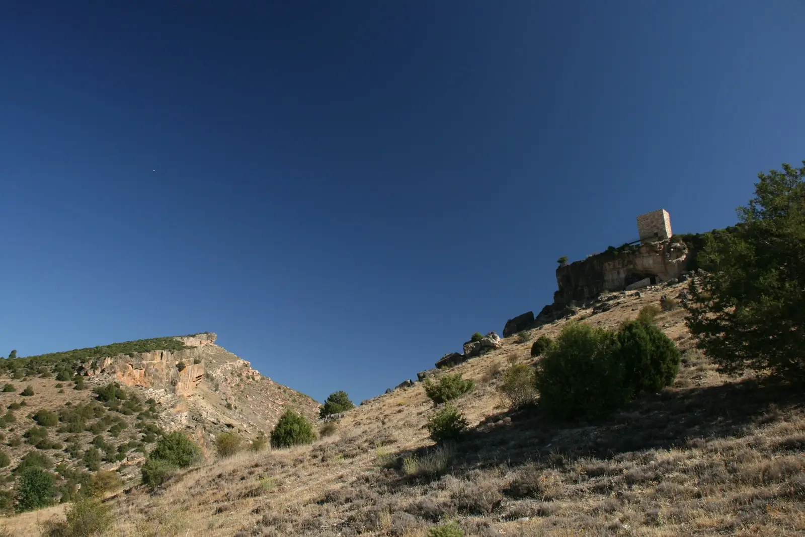
Near Ablanque
Barranco del Hocino: the yew grove that burned in 2005
Riba de SaelicesTrail 5: the chozones of La Loma (Riba de Saelices)
10.5 km · 4 h · Circular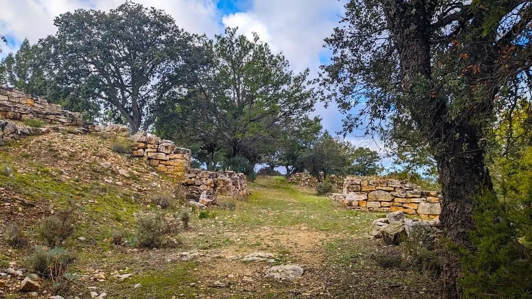
Celtiberian hillfort of Peña Moñuz (Olmeda de Cobeta)
Olmeda de Cobeta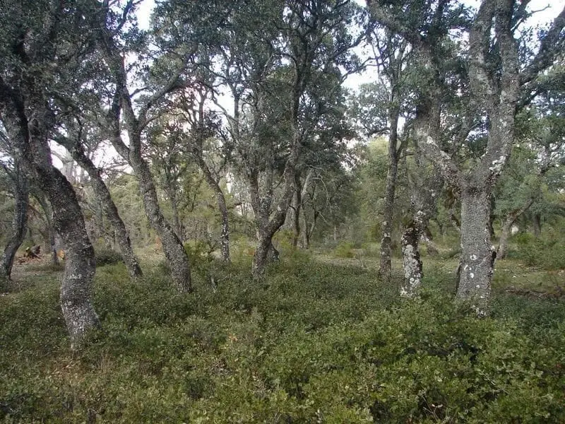
Dehesa of Olmeda de Cobeta: ancient pollarded Pyrenean oaks
Olmeda de Cobeta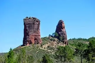
Valle de los Milagros: red sandstone towers in Riba de Saelices
Riba de SaelicesPopulation of Ablanque, 1842–2021
Ablanque reached a peak of 755 inhabitants in 1920 . In the 2021 census there were 60 , a decrease of 92%. This is the history told in the emptying of the Alto Tajo.
Climate in Ablanque month by month
2015–2024 averages from Copernicus ERA5 reanalysis for an altitude of approx. 1,061 m. Useful for planning, not a substitute for live forecasts.
Location
● Reference point · ● Villages · ● Places
Location diagram. Detailed map with tracks and names loads on zoom.
Reference villages: Riba de Saelices · Olmeda de Cobeta · Saelices de la Sal · Cobeta.
Open the full map and historical layers →