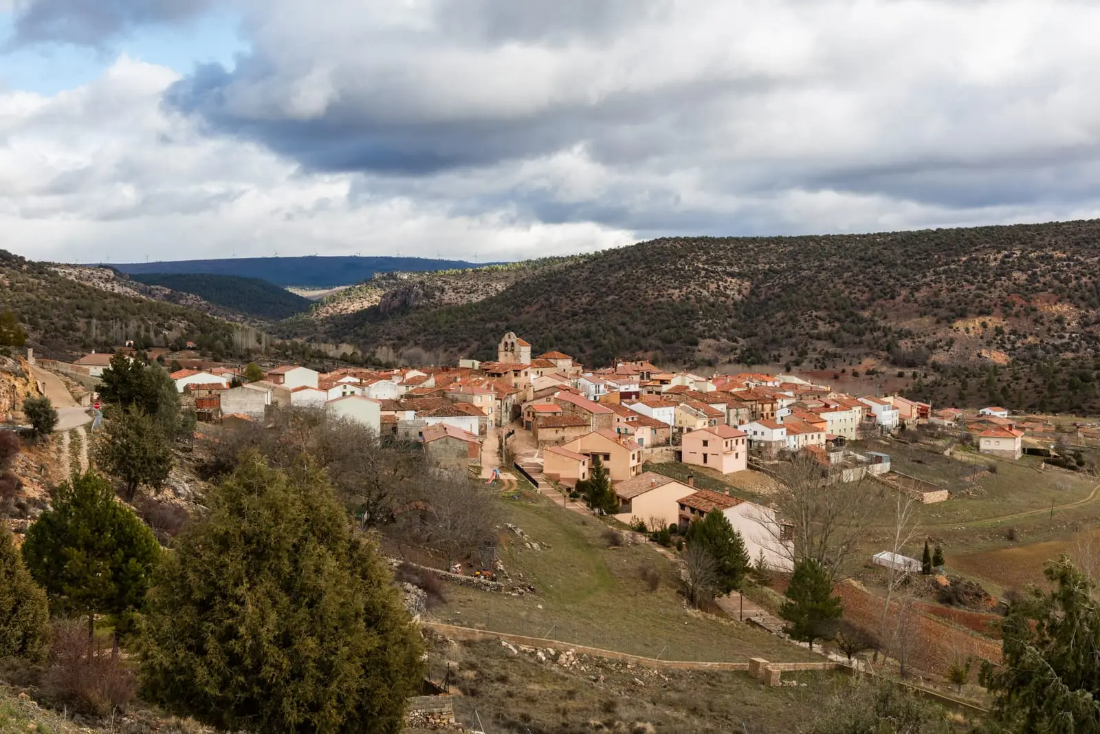
Route · Cobeta
Georuta 3: Geotrail 3: from Cobeta to Barranco del Arandilla
Georuta 3 spans about 13 km and 9 stops between Cobeta and Barranco del Arandilla, showing how geological resources were harnessed: building stone, tile clay, and fortress sites. Combines car or bike with walks, reaching Virgen de Montesinos hermitage.
- Code
- Georuta 3
- Distance
- 13 km
- Duration
- 4 h
- Trail type
- Linear
- Difficulty
- Easy
- Altitude
- 1,080 m
Walking duration without transfers or stops. Check in the official source whether distance and time include the return leg. Difficulty rated according to the official source; verify its conditions and notices. “Easy” does not imply wheelchair or stroller accessibility.
- Georuta 3
- 9 stops
- Use of stone and clay
- Ermita de Montesinos
How to travel the route
Georoutes are not standard hiking paths: they are itineraries with numbered stops, panels, and outcrop plaques, linked by car or bicycle, with some stretches on foot. The official self-guided brochure explains each stop.
The stops
- 1: the castle tower of Cobeta, a five-minute uphill walk.
- 2 and 3: along the track to San Antonio hermitage, best done on foot (1.5 hours round trip): the track is unsuitable for passenger cars.
- 4 and 5: at the exit towards Molina, beside an old tile kiln.
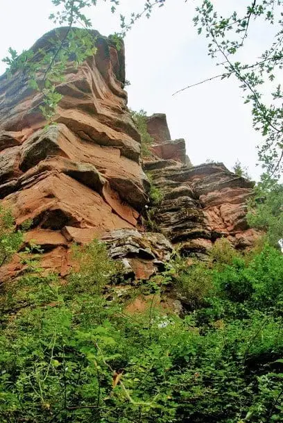
- 6 to 9: park at the bridge over the Arandilla and proceed on foot through Barranco del Arandilla to the hermitage of Virgen de Montesinos, a log bridge, an old mill, and a meadow beneath sandstone cliffs where the route concludes.
Geological and cultural heritage
The route reveals how local communities extracted from rock everything required for shelter, tools, and energy, and how terrain guided locations for fortresses, watchtowers, and hermitages.
Before you set out
Carry water, mountain footwear, and download the GPS track in advance: mobile reception is absent in many areas. Check the forecast on Today in the Alto Tajo and the official trail sheet for notices and closures, and respect seasonal restrictions during raptor breeding periods.
Official route · Parque Natural del Alto Tajo (Junta de Castilla-La Mancha). Description, track and notices on the official guide. Before setting out, verify there whether changes or closures apply.
Location
● Reference point · ● Villages · ● Places · ━ Simplified official route
Location diagram. Detailed map with tracks and names loads on zoom.
Reference villages: Cobeta · Villar de Cobeta · Olmeda de Cobeta · Ablanque.
Open the full map and historical layers →