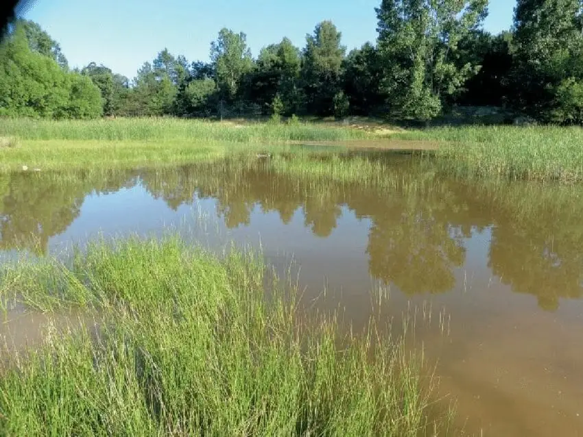
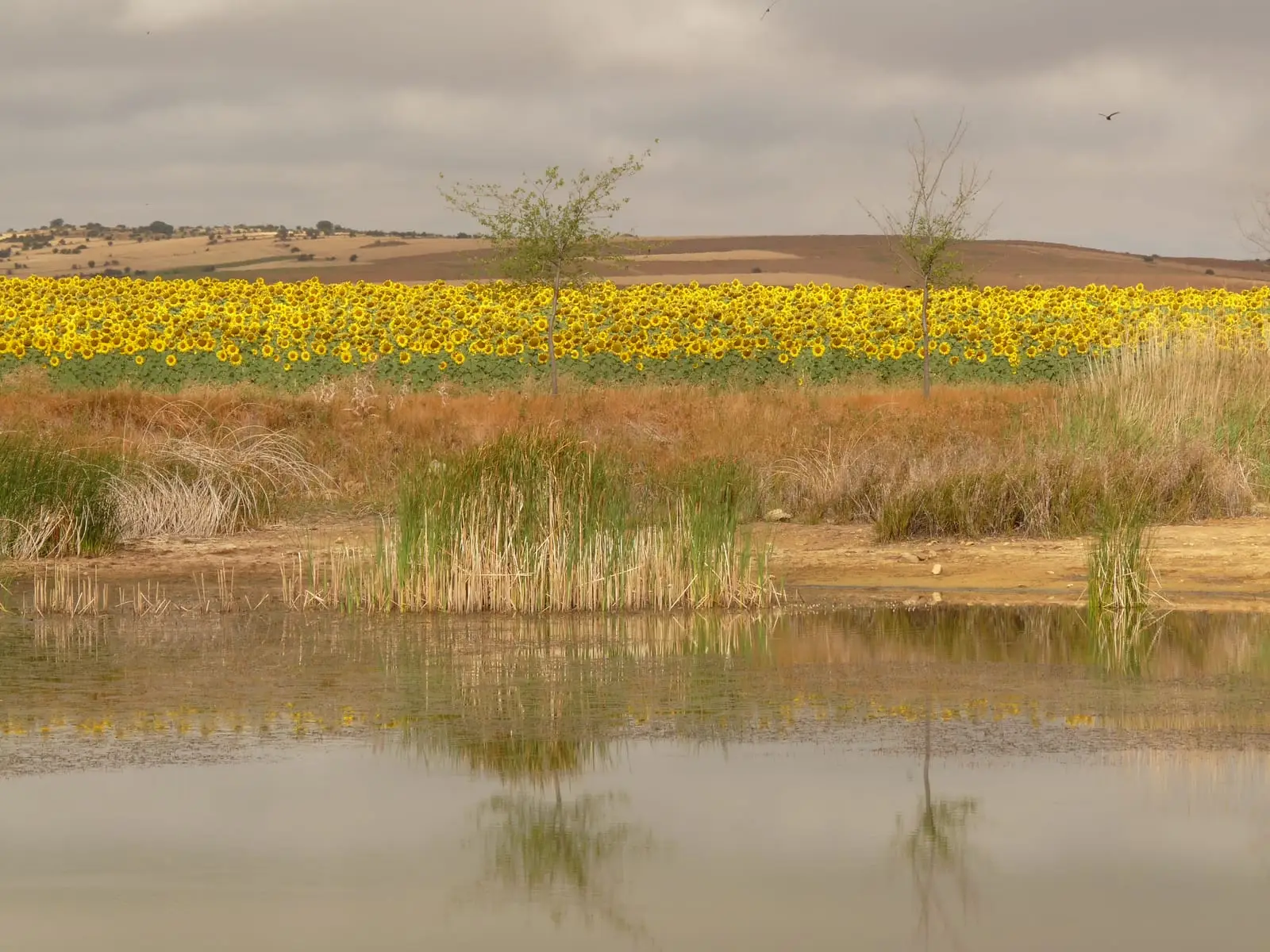
Water source
Setiles lagoon or Laguna de los Majanos
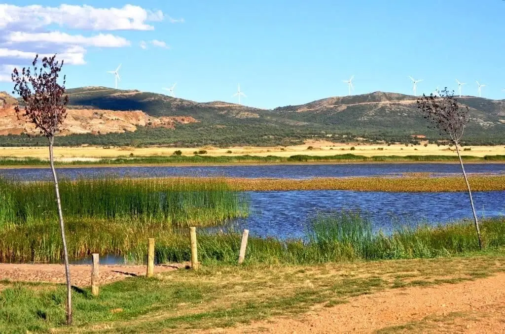
The Setiles lagoon, also known as Laguna de los Majanos, is very close to the village centre of Setiles. Reached from the town hall along Calle Laguna and Camino de los Prados to a small recreation area. Its curiosity is that it sits on high ground: you walk up a small ridge to find it on top of the hill.
- Altitude
- 1,275 m
- Lagoon atop a ridge
- Near village
- Recreation area
A lagoon on the summit
Water usually collects in hollows, but this lagoon sits atop a ridge. To reach it, leave the Setiles town hall along Calle Laguna, which connects to Camino de los Prados, and in just a few minutes you will reach the small recreation area at one end of the water. It is a short, easy walk, ideal for spotting waterbirds.
Location
● Reference point · ● Villages · ● Places
Location diagram. Detailed map with tracks and names loads on zoom.
Reference villages: Setiles · Tordellego · Tordesilos · El Pobo de Dueñas.
Open the full map and historical layers →