Route · Setiles
PR-GU 23: the historic mining trail of Setiles
Circular route of 15.8 km from Los Majanos lagoon in Setiles, certified as PR-GU 23, with 351 m elevation gain and low difficulty. Climbs through oak woods to Sierra Menera, skirts the open-pit iron mines across several viewpoints, and visits El Verdel mining district.
- Code
- PR-GU 23
- Distance
- 15.8 km
- Elevation gain
- 351 m
- Trail type
- Circular
- Difficulty
- Easy
- Best season
- Spring, autumn, and winter
- Altitude
- 1,279 m
Walking duration without transfers or stops. Difficulty rated according to the official source; verify its conditions and notices. “Easy” does not imply wheelchair or stroller accessibility.
- PR-GU 23
- Circular, low difficulty
- Iron mines
- El Verdel district
A lagoon born from mining
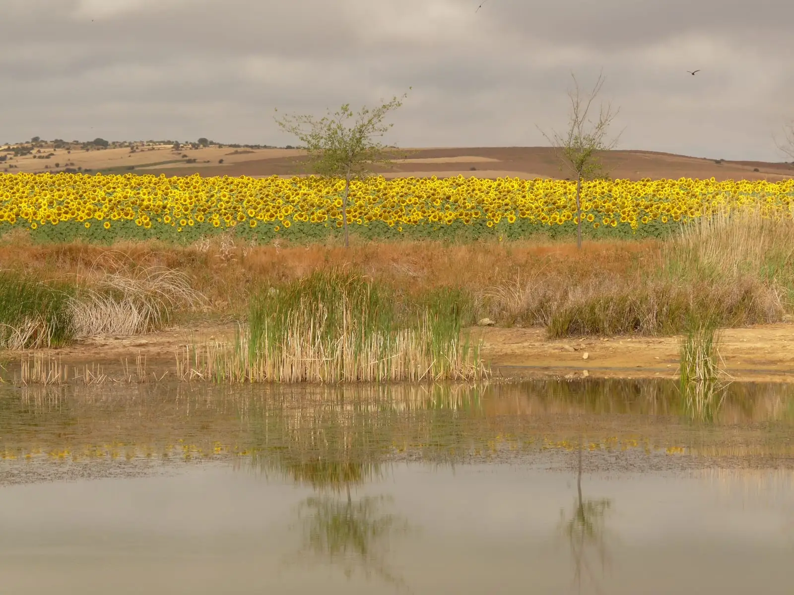
The trail begins at Laguna de Los Majanos, formed behind a mining silt dam left by operations in Sierra Menera, within the municipality of Setiles in the Sexma del Pedregal. It is walked counter-clockwise, encircling the lagoon and climbing through oak woods towards the iron mines.
Viewpoints over the mine
- Las Covatillas, where a branch heads to Mirador de la Mina and the Cueva de los Tinajos.
- Mirador del Lago, skirting the rim of the excavation.
- A second branch climbs to Mirador de la Marajosa, offering sweeping panoramas.
The mining district
The return leg passes through El Verdel (or Barrio Verde), where many workers of the Compañía Minera de Sierra Menera once lived. The open-pit excavation, constantly in sight, illustrates the significance of iron for Setiles.
Waymarking
White and yellow trail markers. GPS track and guide available on the official Federation sheet.
Before you set out
Carry water, mountain footwear, and download the GPS track in advance: mobile reception is absent in many areas. Check the forecast on Today in the Alto Tajo and the official trail sheet for notices and closures, and respect seasonal restrictions during raptor breeding periods.
Official route · Federación de Deportes de Montaña de Castilla-La Mancha. Description, track and notices on the official guide. Before setting out, verify there whether changes or closures apply.
Location
● Reference point · ● Villages · ● Places · ━ Simplified official route
Location diagram. Detailed map with tracks and names loads on zoom.
Reference villages: Setiles · Tordellego · Tordesilos · El Pedregal.
Open the full map and historical layers →